푸에르테벤투라에서 가장 멋진 20개의 산 정상
푸에르테벤투라의 산 정상에 오르면 이 지역의 아름다운 모습을 제대로 구경할 수 있어요. 다만, 20
곳이나 되는 산 정상 중에서 어떤 곳을 가야 할 지 고민된다는 게 문제죠. 푸에르테벤투라에서 가장 멋진 산 정상을 살펴본 후에 마음에 드는 산 정상을 다음 모험 계획에 추가해보세요.
마지막 업데이트: 9월 15, 2026
피코 데 라 사르사 정상
하이라이트 • 정상
번역자 Google •
팁에 의해


이런 장소를 발견하려면 지금 가입하세요
최고의 싱글 트랙, 봉우리 및 다양한 흥미로운 야외 장소에 대한 추천을 받아보세요.


피코 데 라 사르사 정상 근처의 문
하이라이트 • 정상
It could be ;-)))
번역자 Google •
팁에 의해

무료로 가입하여 푸에르테벤투라의 더 많은 봉우리를 발견하세요.
이미 komoot 계정이 있나요?
오늘 무료 계정으로 시작하세요
다음 모험이 기다리고 있어요.
푸에르테벤투라 주변 인기 장소
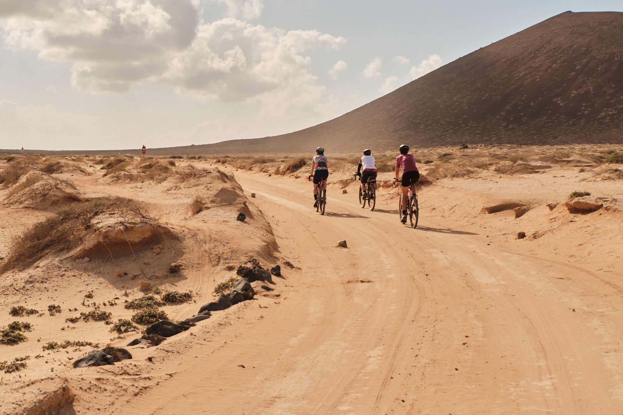
Komoot 요로 제도 2023: GranGuanche 이반스
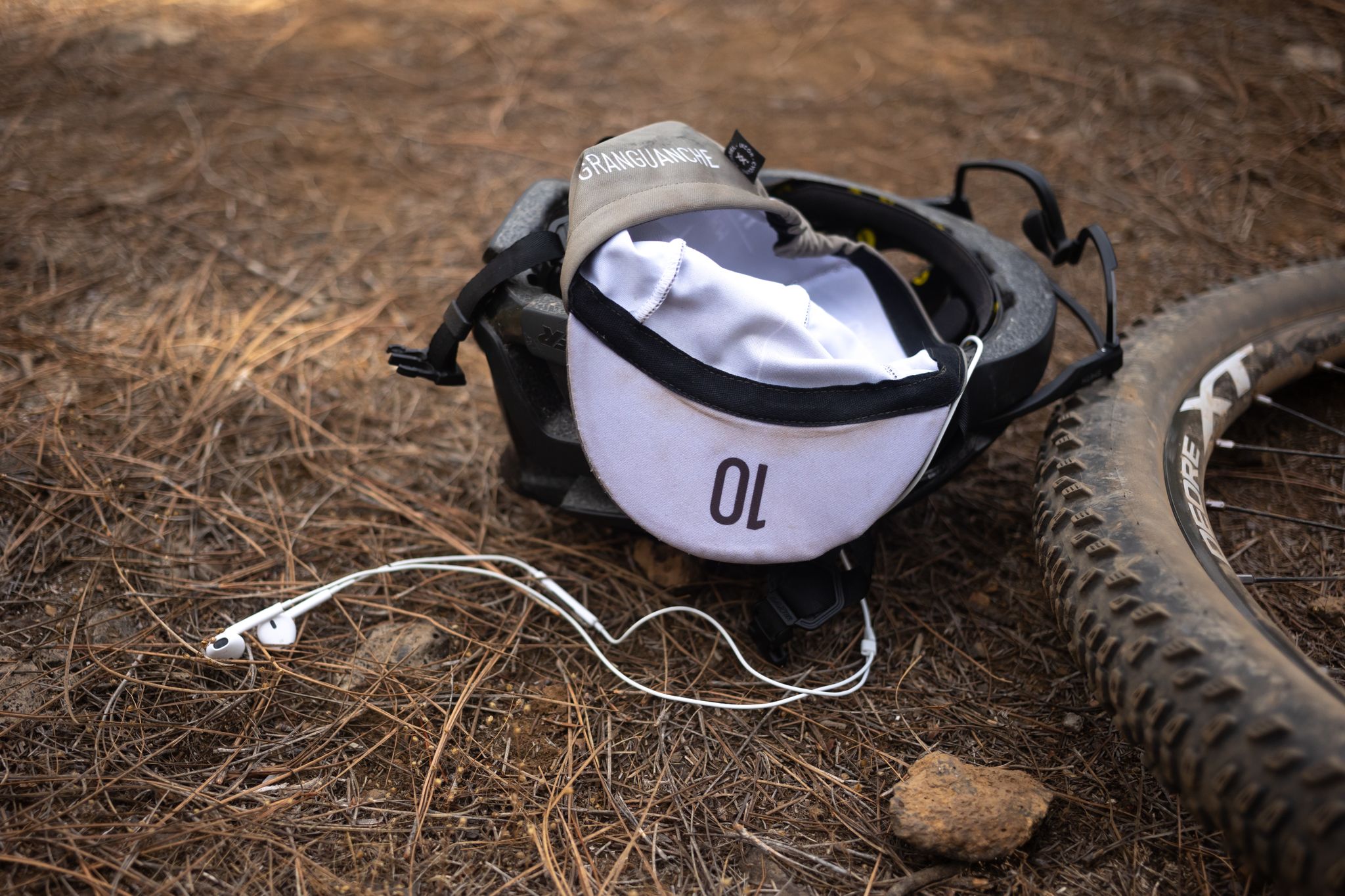
그랜구안체 오다스 트레일 – 카나리아 섬에서 처음의 울트라 레이스
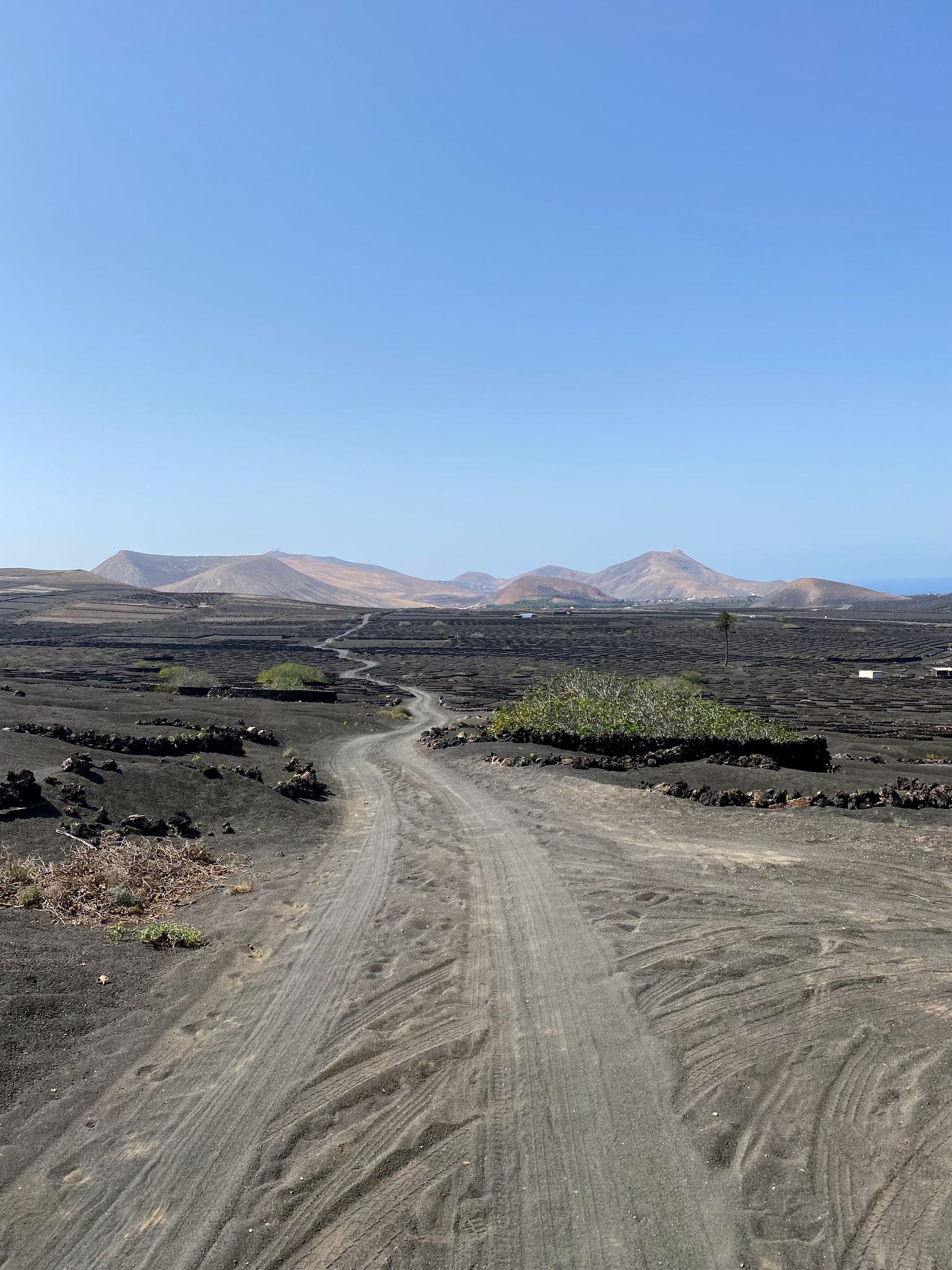
카나리아 제도에서 바이크팩 - 햇살아 놀라운 모험
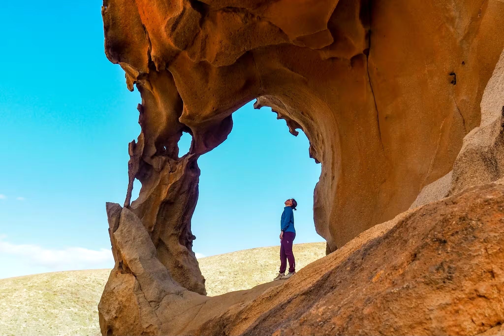
Canary Islands at a slow pace – six hikes immersed in nature
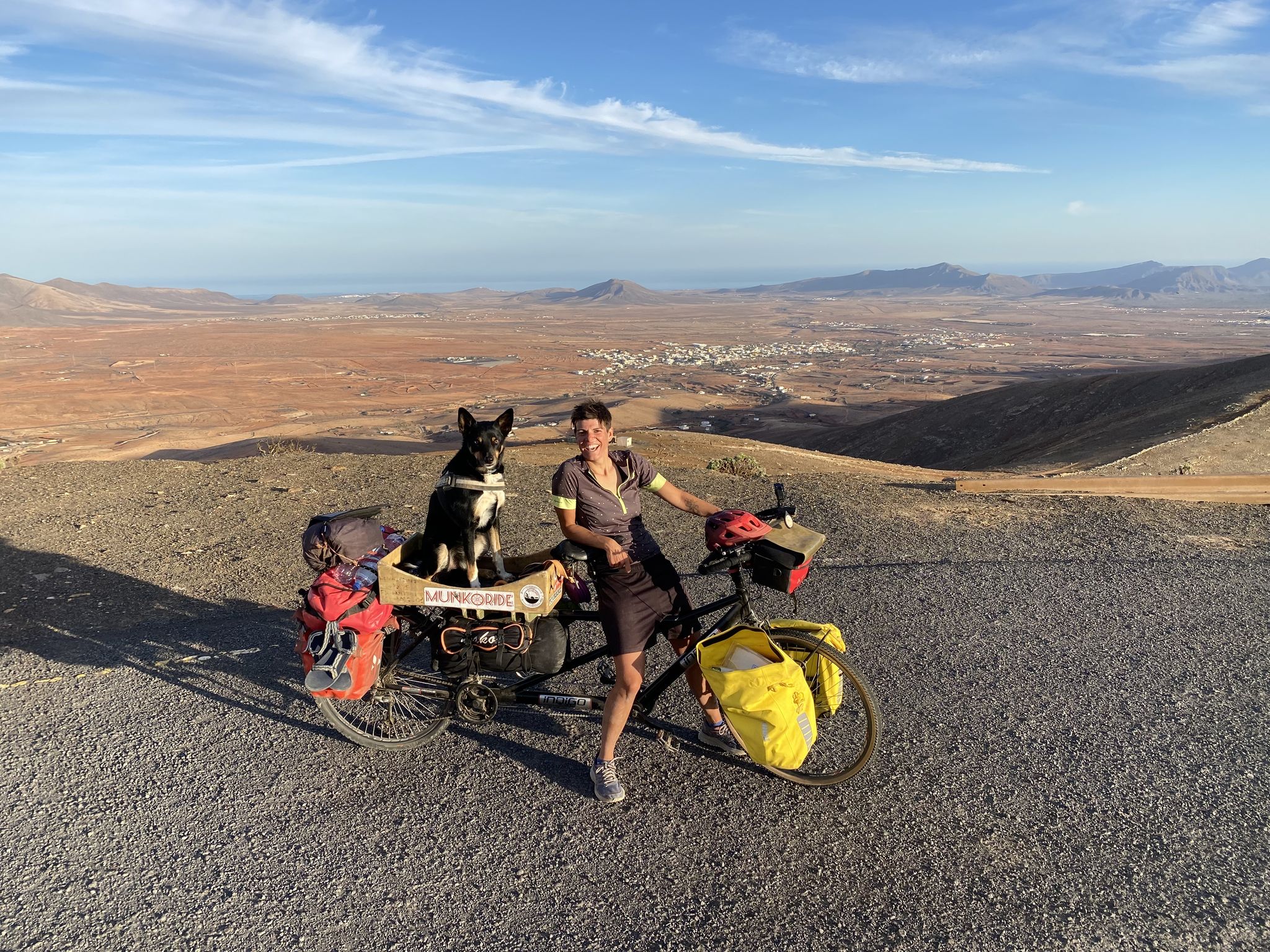
월면 탐사 - 푸에르테벤츠라 바퀴 위에서
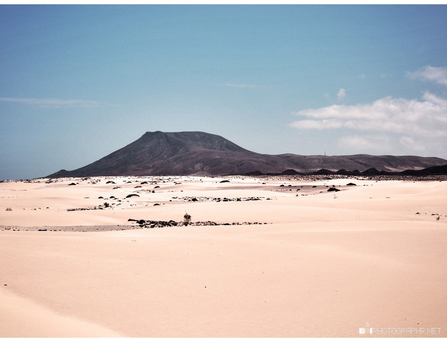
모래와 바다의 땅 - Fuerteventura Nature Trail (GR 131)
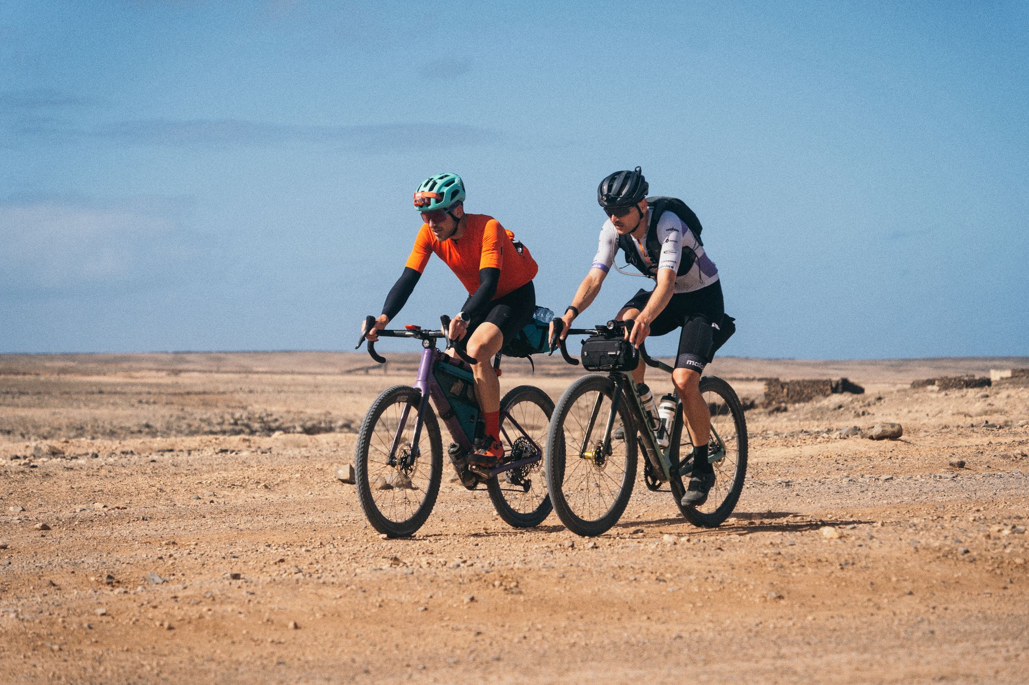
GranGuanche Audax Gravel — 2일 반에 5개 섬
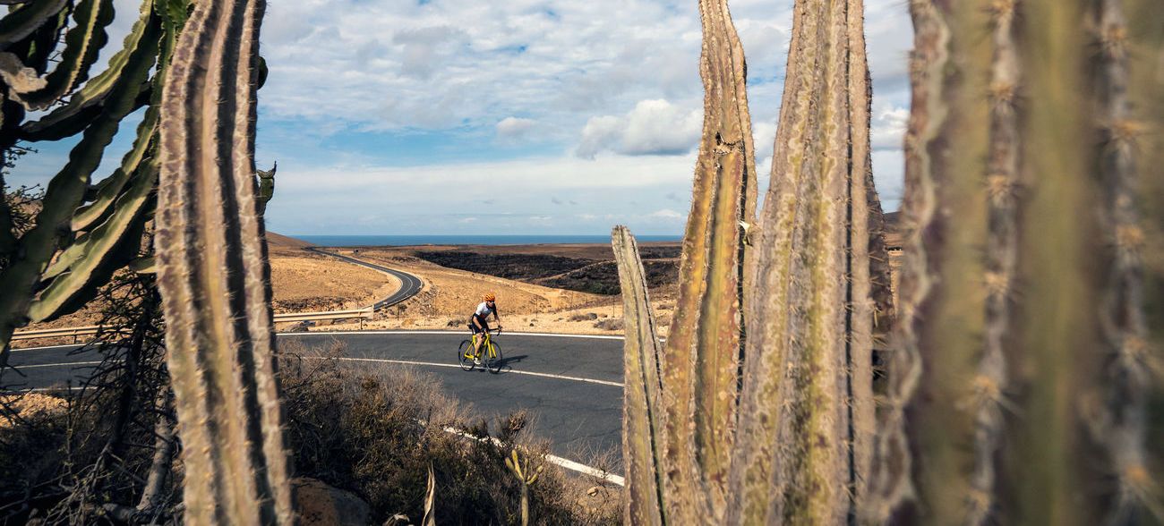
푸에르테벤투라 여행: 카나리아 제도의 꿈의 여행
푸에르테벤투라 하이킹
푸에르테벤투라 로드 사이클링 경로
푸에르테벤투라의 다른 모험


커뮤니티 팁

As well as being fairly steep and loose, there is a sign at the base of the North-East ascent indicating that the path is closed from mid-February to July (I think) as its a bird nesting area.
0
0

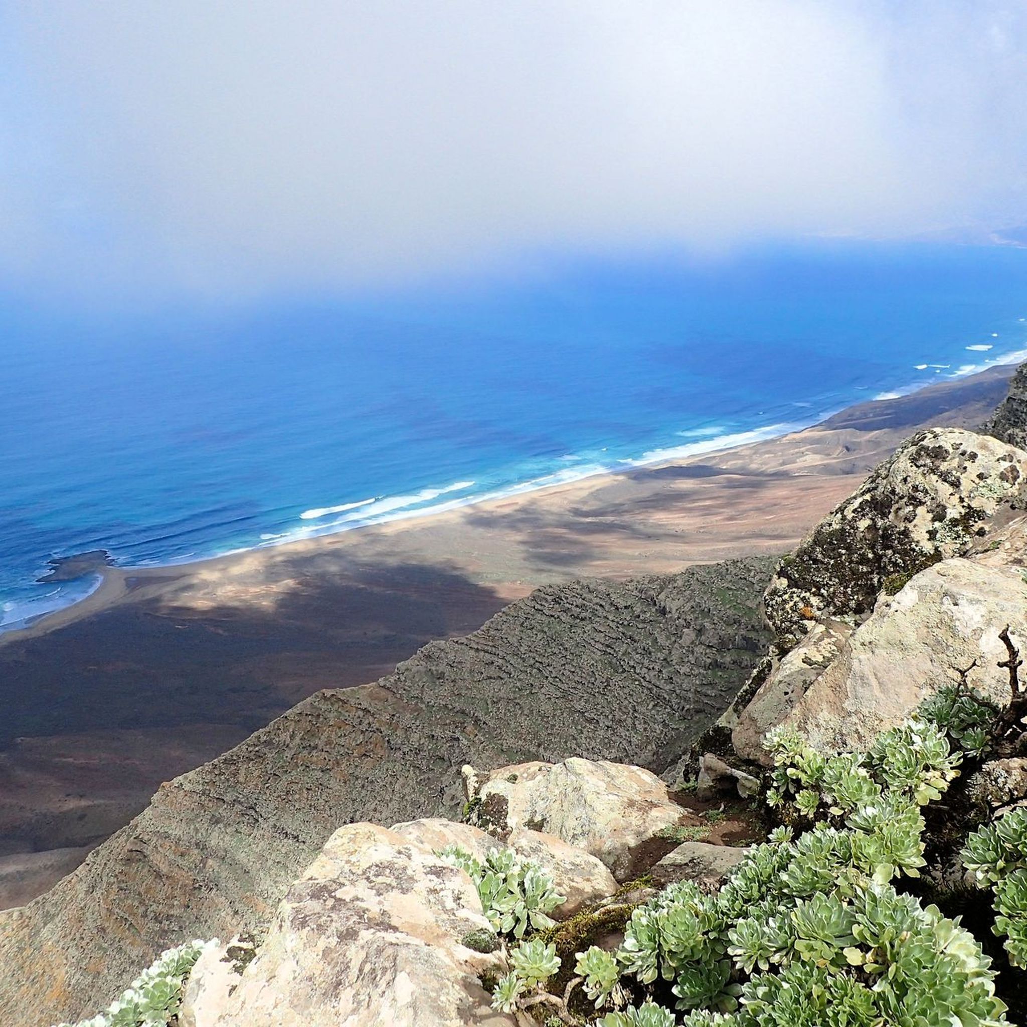
The hike up Fuerteventura's highest mountain should be undertaken in sunny weather and with as little wind as possible. If trade wind clouds hang over the summit, you won't see anything.
3
0


Shortly before the summit you pass an arela that is fenced in to protect the vegetation from the goats. It's amazing how much greenery you find here!
0
0

Interesting information about the history of the Pico de la Zarza: https://de.m.wikipedia.org/wiki/Pico_de_la_Zarza
2
0
Interesting information about the history of the Pico de la Zarza: https://de.m.wikipedia.org/wiki/Pico_de_la_Zarza
0
0

This year it worked. Hugely beautiful view.
0
0
푸에르테벤투라에서 가장 인기 있는 명소


더 살펴보기
이 가이드를 통해 푸에르테벤투라의 더 놀라운 정상들을 확인해보세요:
