브랜지에서 가장 멋진 10개의 협곡
브랜지에 있는 멋진 협곡 10
개를 소개해드릴게요. 아래에서 멋진 협곡을 살펴보고, 다음 브랜지 모험에 도움이 될 만한 사진, 팁, 추가 정보를 알아보세요.
마지막 업데이트: 8월 19, 2026


이런 장소를 발견하려면 지금 가입하세요
최고의 싱글 트랙, 봉우리 및 다양한 흥미로운 야외 장소에 대한 추천을 받아보세요.
무료 회원 가입
Pozze del Torrente Fiume Nero
하이라이트 • 강
번역자 Google •
팁에 의해

카날레 산책로 223
하이라이트 • 협곡
번역자 Google •
팁에 의해


무료로 가입하여 브랜지 주변의 더 많은 협곡을 발견하세요.
무료 회원 가입
이미 komoot 계정이 있나요?
오늘 무료 계정으로 시작하세요
다음 모험이 기다리고 있어요.
로그인 또는 가입하기



커뮤니티 팁

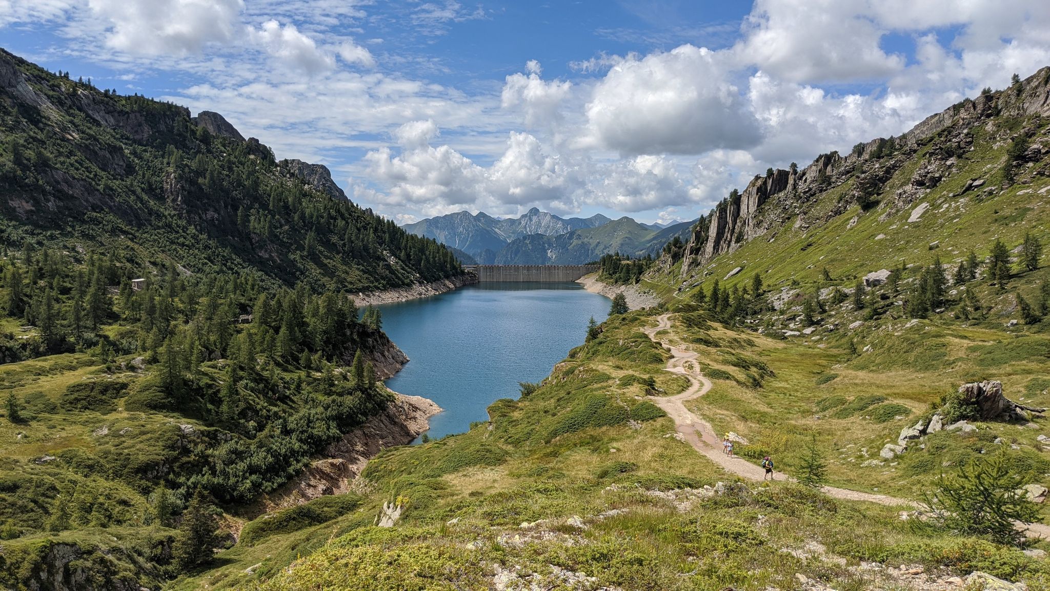
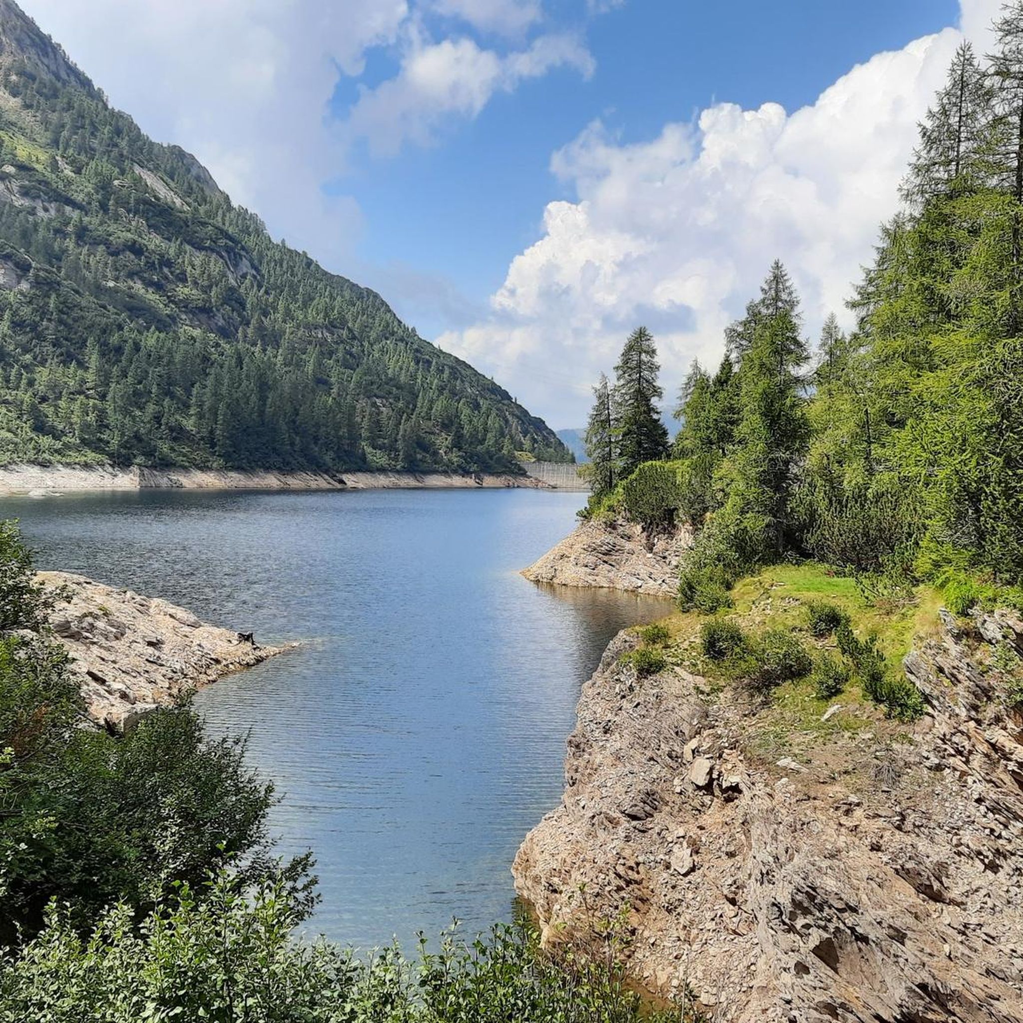
The Sanguigno Valley is one of the wildest and most fascinating valleys in the Bergamo Orobie mountains, located above Valgoglio (BG). Known as the "valley of water" for its abundance of waterfalls, pools, and peat bogs, it is considered the oasis with the highest biodiversity in the Orobie Park. 🌿 Main features Unique biodiversity: the valley is home to rare habitats such as extensive peat bogs, rhododendrons, pine forests, and endemic plant species. Origin of the name: "Sanguigno" comes from the reddish hues the vegetation takes on in autumn, making the landscape particularly evocative. Water is the protagonist: the Sanguigno stream cascades down, forming waterfalls and natural pools of green and blue hues. Wild environment: shady forests, bright meadows, crystal-clear lakes, and panoramic ridges create a varied and pristine landscape. 🚶♂️ Excursions Access: Start from Valgoglio (929 m), reaching the Aviasco power plant (965 m) where you can leave your car (ticket required). Classic route: The trail runs alongside the stream and leads to the Gianpace Refuge (1330 m), a refreshment point and waterfall observation point. Duration: Approximately 1.5–2 hours of walking, with moderate elevation gain. Alternatives: From Novazza, you can follow trail 232A, which passes through woods and pastures to the refuge. ✨ Why visit it Unspoiled nature: The valley is largely untouched, ideal for those seeking silence and authenticity. Photography and relaxation: The waterfalls and meadows offer spectacular views and picnic spots. Seasons: In spring, it is lush and green, in autumn it turns red and orange, and in summer, it remains cool thanks to the stream.
0
0

August 9, 2025 - To reach the pool, you have to leave the main trail. The continuous black trail indicated by komoot that goes up the stream is not a path, or rather, we didn't find it. It's probably used by canyoneers (https://www.valseriana.eu/esperienze/canyoning-fiumenero/).
0
0

Pools in the Fiumenero stream can be reached via a short path equipped with ropes (see photo).
0
0

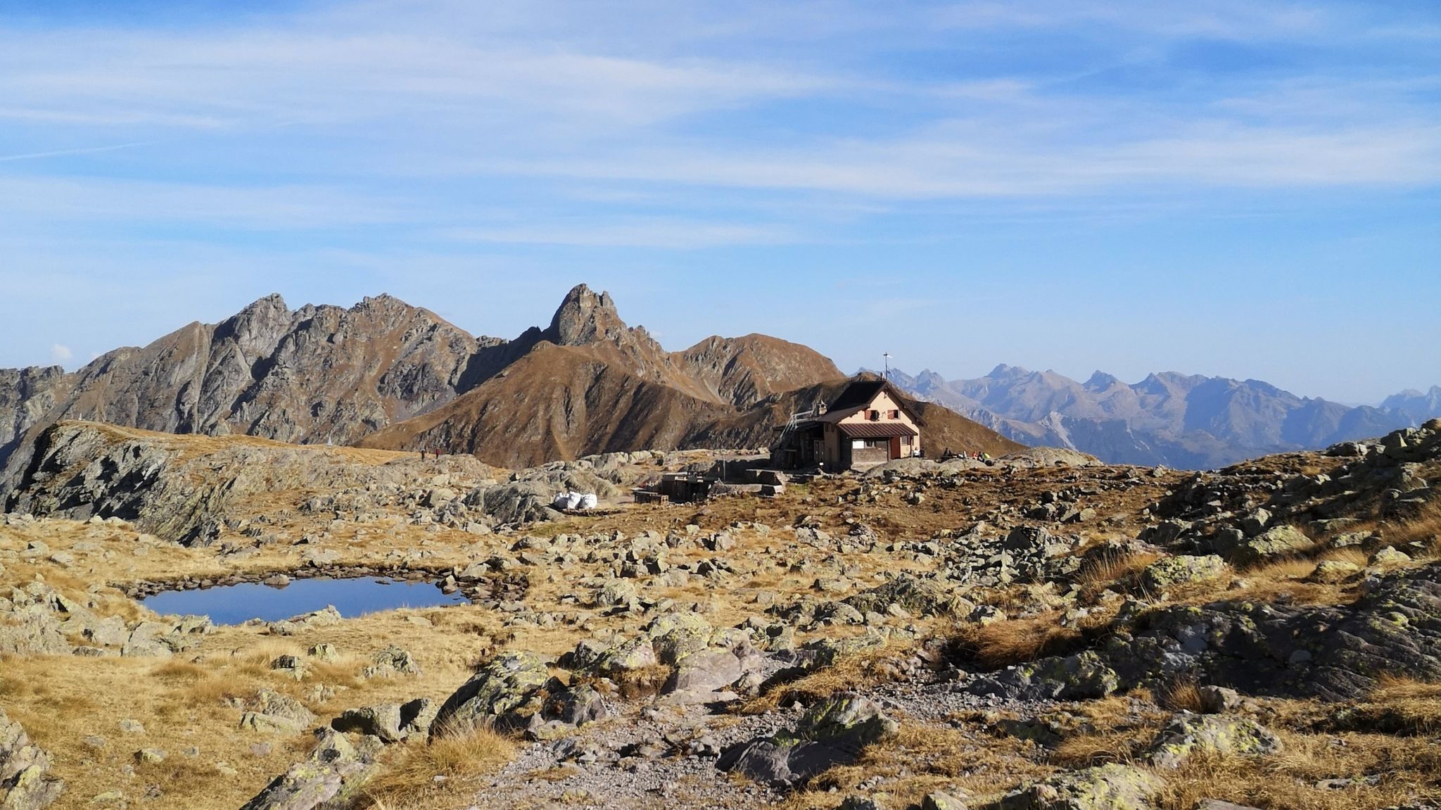
Small gully on the path that connects the Zambla pass to the Grem high hut. It does not present any technical difficulty
0
0

Valley where the Carona ski area is located, reachable via the dirt road that starts from Carona or with the chairlift that starts from the town, usually operating in winter and summer months.
0
0

Wonderful area nestled between the rocky peaks of the surrounding peaks, in particular the Arera and the Corna Piana. The area is mainly rocky, easy to reach even if it requires a minimum of training. The most fascinating aspect is the landscape, you find yourself in a very natural and at times wild environment, where you also have to pay attention to small ravines which are often not immediately visible but equally dangerous! Especially in the presence of snow which masks them further.
0
0

Beautiful valley that goes up to Pizzo Farno, passing by the ref. Gianpace
0
0


더 살펴보기
이 지역에서 모든 것을 발견하셨나요? 다음 모험을 위해 브랜지 주변의 추가 협곡을 확인해보세요:
