니톤과 휘트웰에서 가장 멋진 4개의 산 정상
니톤과 휘트웰의 산 정상에 오르면 이 지역의 아름다운 모습을 제대로 구경할 수 있어요. 다만, 4
곳이나 되는 산 정상 중에서 어떤 곳을 가야 할 지 고민된다는 게 문제죠. 니톤과 휘트웰에서 가장 멋진 산 정상을 살펴본 후에 마음에 드는 산 정상을 다음 모험 계획에 추가해보세요.
마지막 업데이트: 10월 17, 2026
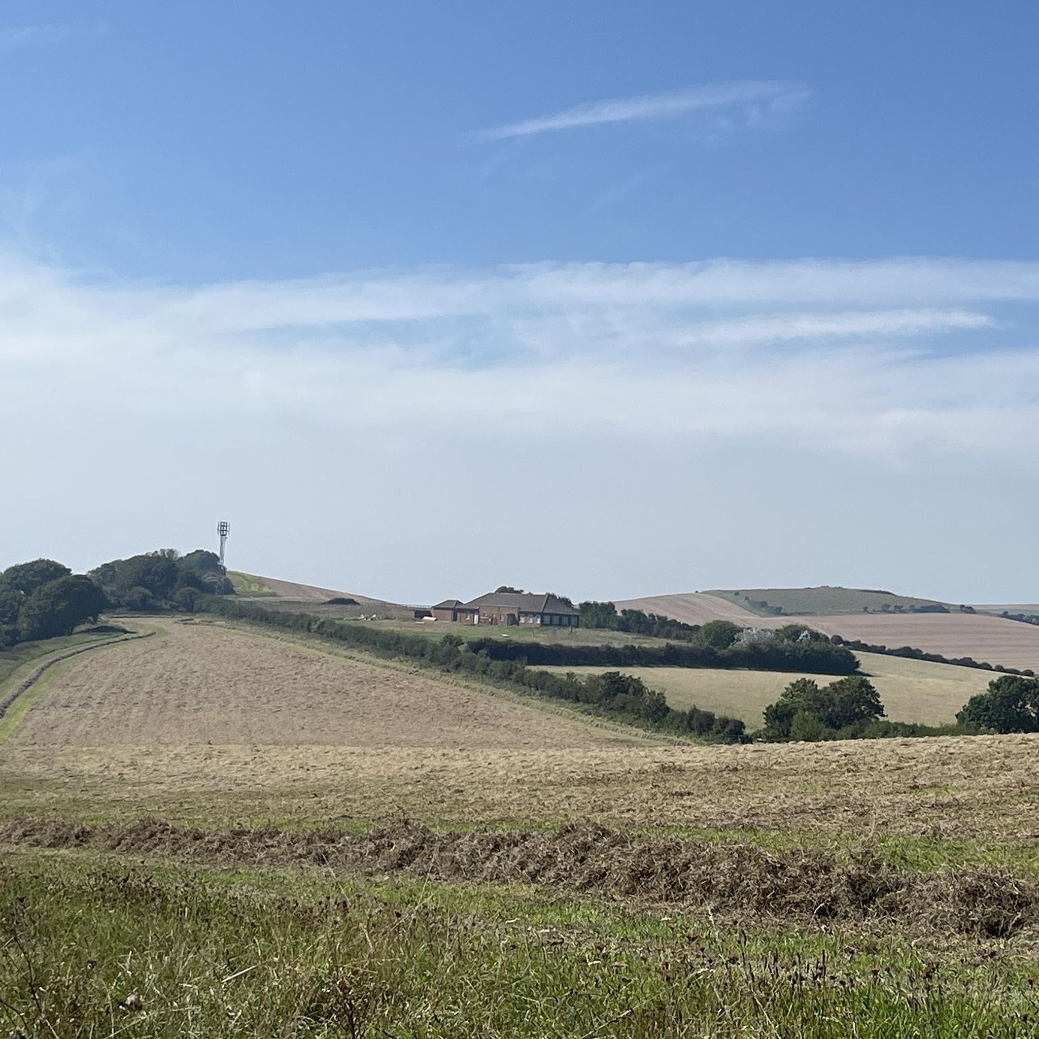
벤트너 다운스 벙커
하이라이트 • 기념물
팁에 의해

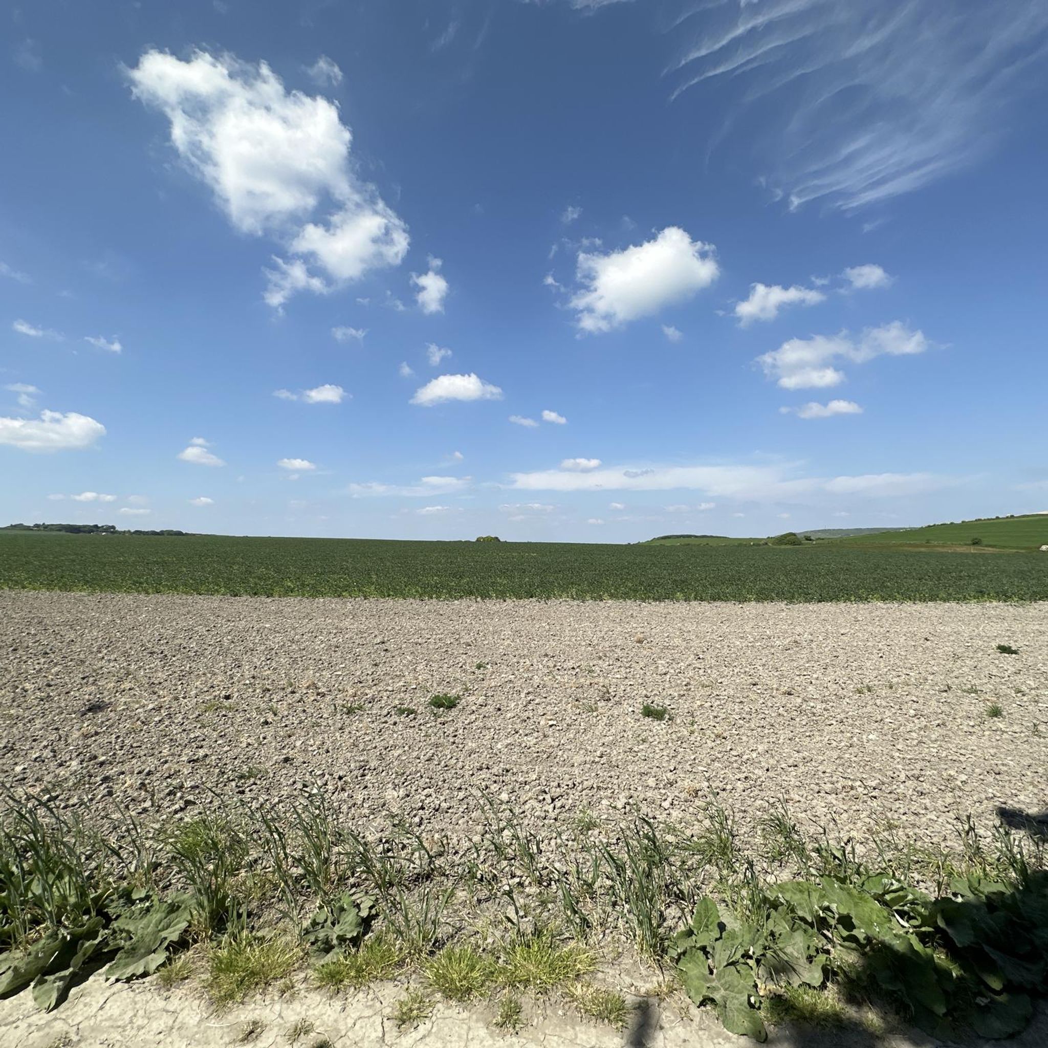
샹클린 다운 정상 전망
하이라이트 • 정상
팁에 의해
이런 장소를 발견하려면 지금 가입하세요
최고의 싱글 트랙, 봉우리 및 다양한 흥미로운 야외 장소에 대한 추천을 받아보세요.
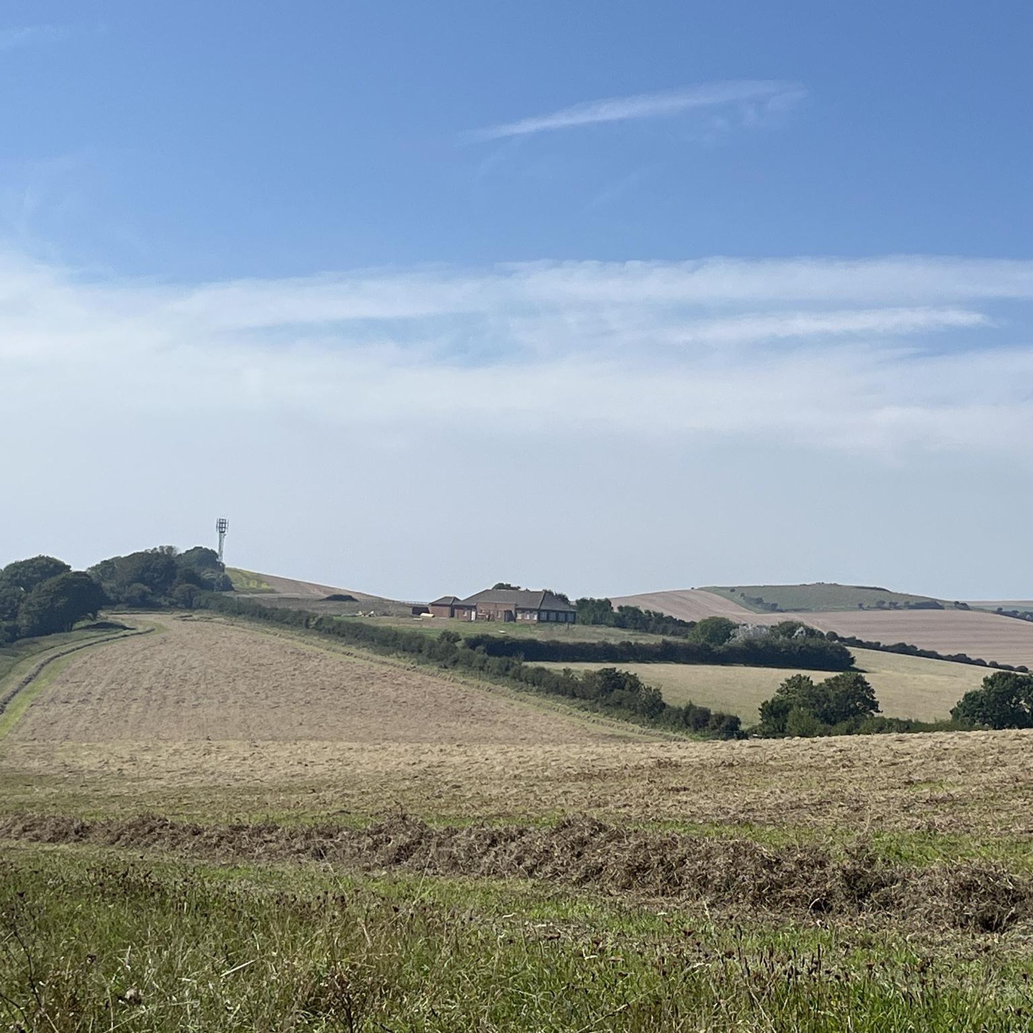
세인트 보니페이스 다운에서 바라본 벤트너 전망
하이라이트 • 전망대
팁에 의해
Ventnor 다운스
하이라이트 • 트레일
팁에 의해

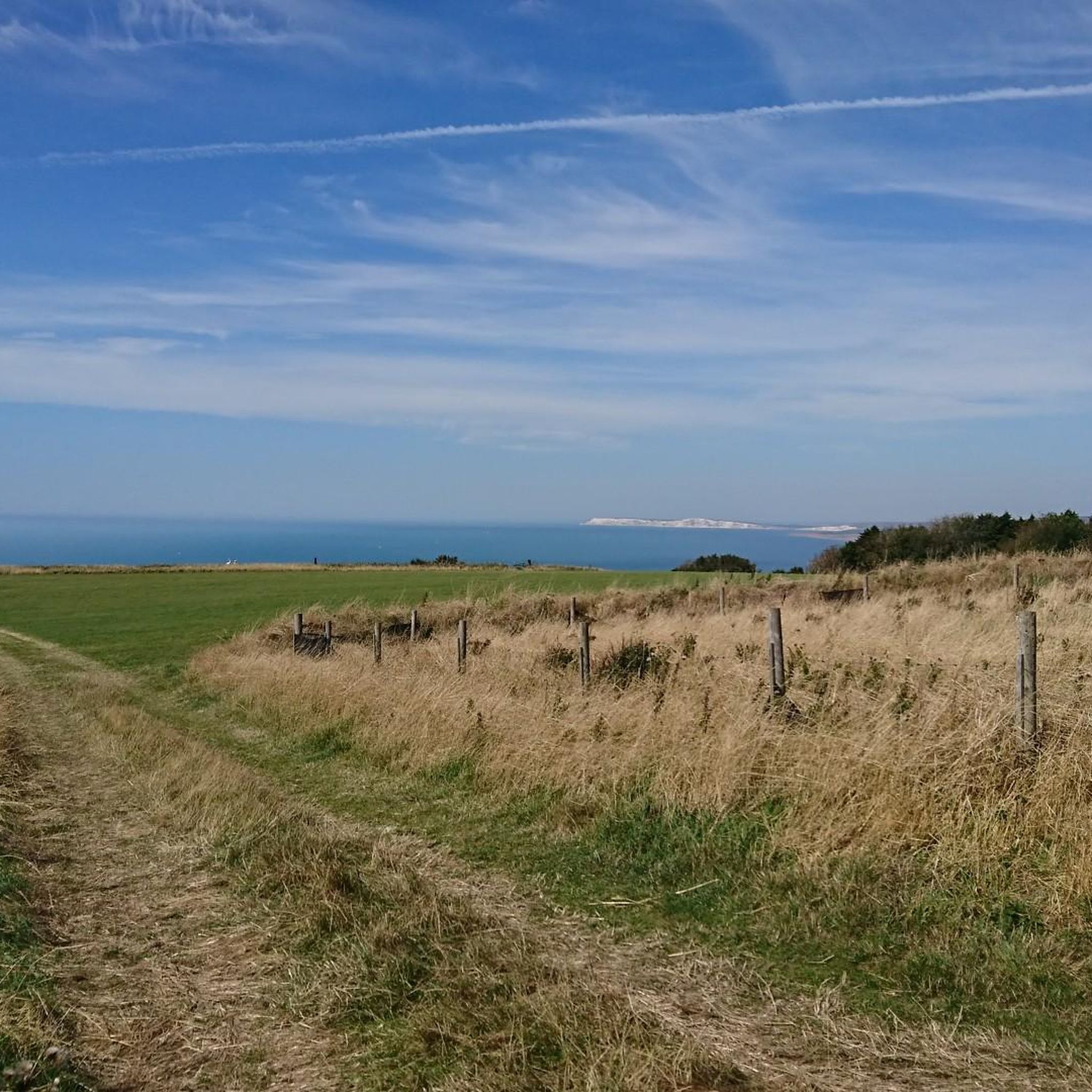
세인트 보니페이스 다운 전망
하이라이트 • 전망대
팁에 의해
오늘 무료 계정으로 시작하세요
다음 모험이 기다리고 있어요.
커뮤니티 팁

Steephill cove로 내려가는 길은 자전거를 가파르고 좁은 아스팔트 길을 따라 내려가야 합니다.
0
0
The climb is a bit steep, but the views are expansive, over land and sea. Don't be afraid, just respect the cows, goats, and dogs. Today they were all friendly and well-disposed.
0
0
I love running this track with my dogs—it's peaceful, and the views are absolutely breathtaking.
0
0

Ventnor Downs is the group of downs above Ventor which includes St Boniface Down where you can find the highest point on the Isle of Wight. There is a lot of free parking spaces up here and incredible views over the coast so a run around this area is fully recommended.
0
0
It's high, but it's worth the climb. On a good day you can see all the way to the Isle of Portland to the west and even to France to the south. St Boniface Down is home to the highest point on the Isle of Wight. The trig point, just north of here stands at 241m.
0
0
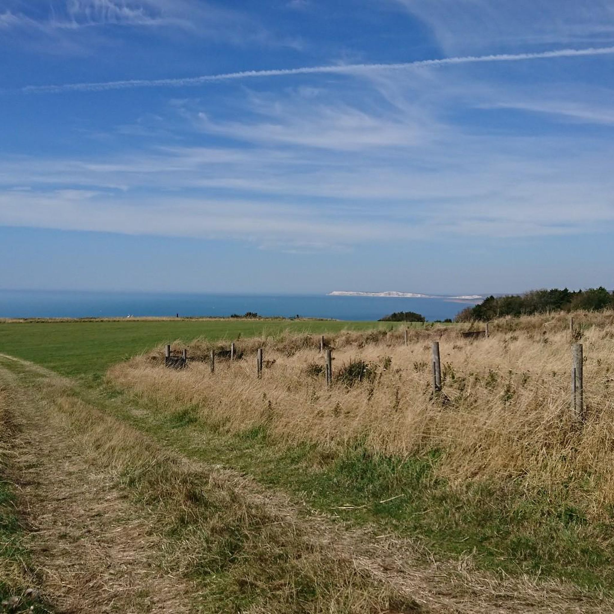
Arguably one of the best views on the Isle of Wight, from Shanklin Down you can see all the way out to the Nab Tower lighthouse in the east, out to the Needles Headland in the west and even over the Solent to the mainland.
0
0

The unmade section of road (beyond the radar station) is now closed to motor vehicles. There are still plenty of free parking areas along the road up to that point.
0
0
Adjacent to the highest point on the Island (St Boniface Down), this free car park is an excellent place to start a walk or ride for some big views across the Island and beyond. But be warned: the access road is very steep and the final section is unmade, with some rather sizeable undulations.
0
0
니톤과 휘트웰 주변에서 가장 인기 있는 명소


더 살펴보기
이 가이드를 통해 니톤과 휘트웰 주변의 더 놀라운 정상들을 확인해보세요:
