란로탈에서 가장 멋진 4개의 협곡
Llanrothal 주변의 협곡은 지역적으로 강 협곡과 가파른 산비탈 계곡으로 불리지만, Herefordshire에서 극적인 자연적 특징을 제공합니다. 이러한 지형은 방문객에게 아름다운 경치와 레크리에이션 기회를 제공합니다. 이 지역은 인상적인 지질 구조로 특징지어지며, 이는 Llanrothal 하이킹과 자연 경관 탐험에 이상적입니다. 이러한 특징은 야외 활동을 위한 이 지역의 매력에 기여합니다.
Llanrothal 주변 최고의 협곡
- 가장 인기 있는 협곡은 Caldwell Rocks에서 바라본 Wye Valley 전망으로, Wye Valley의 광활한 전망을 제공하는 전망대입니다. 이 장소는 또한 송골매 관찰과 고대 동물의 뼈를 포함한 중요한 고고학적 발견으로도 알려져 있습니다. …
마지막 업데이트: 9월 6, 2026
콜드웰 록스에서 바라본 와이 밸리 전망
하이라이트 • 전망대
팁에 의해

Coldwell Rocks
하이라이트 • 협곡
팁에 의해

이런 장소를 발견하려면 지금 가입하세요
최고의 싱글 트랙, 봉우리 및 다양한 흥미로운 야외 장소에 대한 추천을 받아보세요.

Whitebrook Valley
하이라이트 (구간) • 전망대
팁에 의해
Lady Park Wood - 자연 보호구역 및 채석장
하이라이트 (구간) • 트레일
번역문 보기
팁에 의해
오늘 무료 계정으로 시작하세요
다음 모험이 기다리고 있어요.
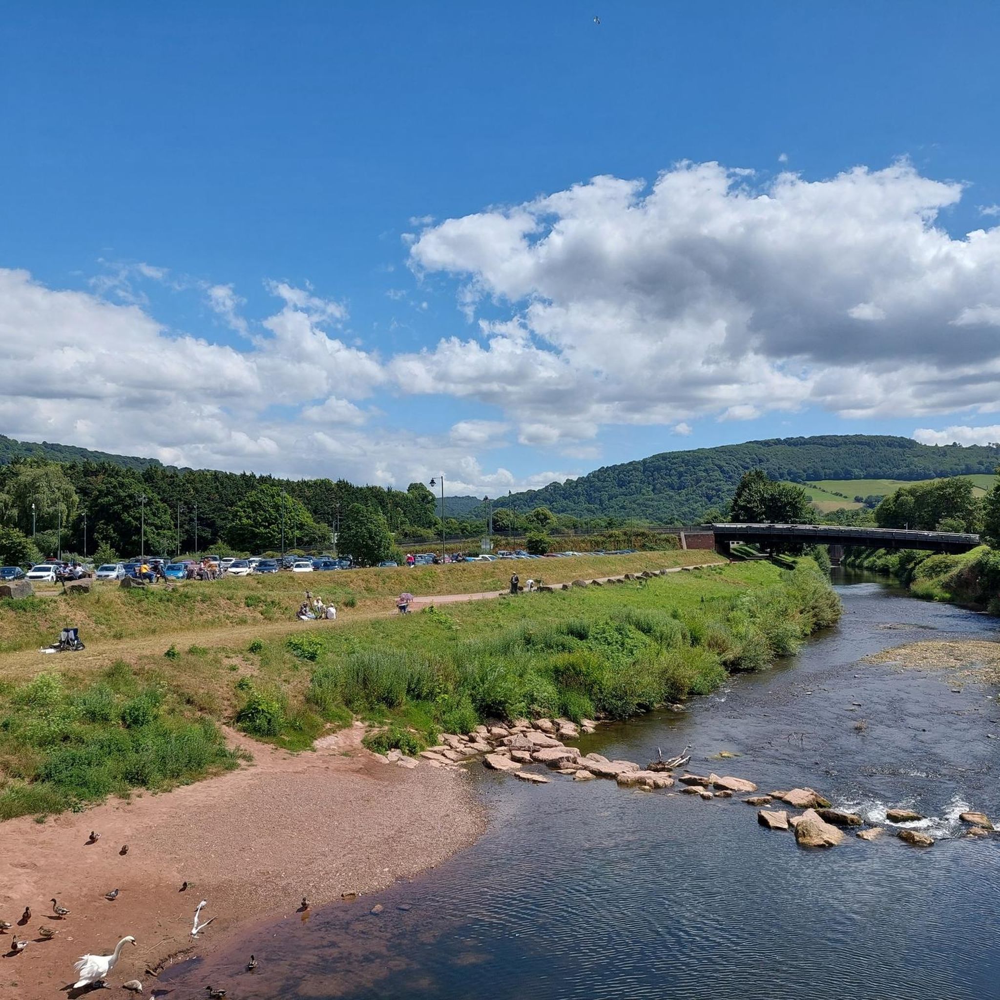
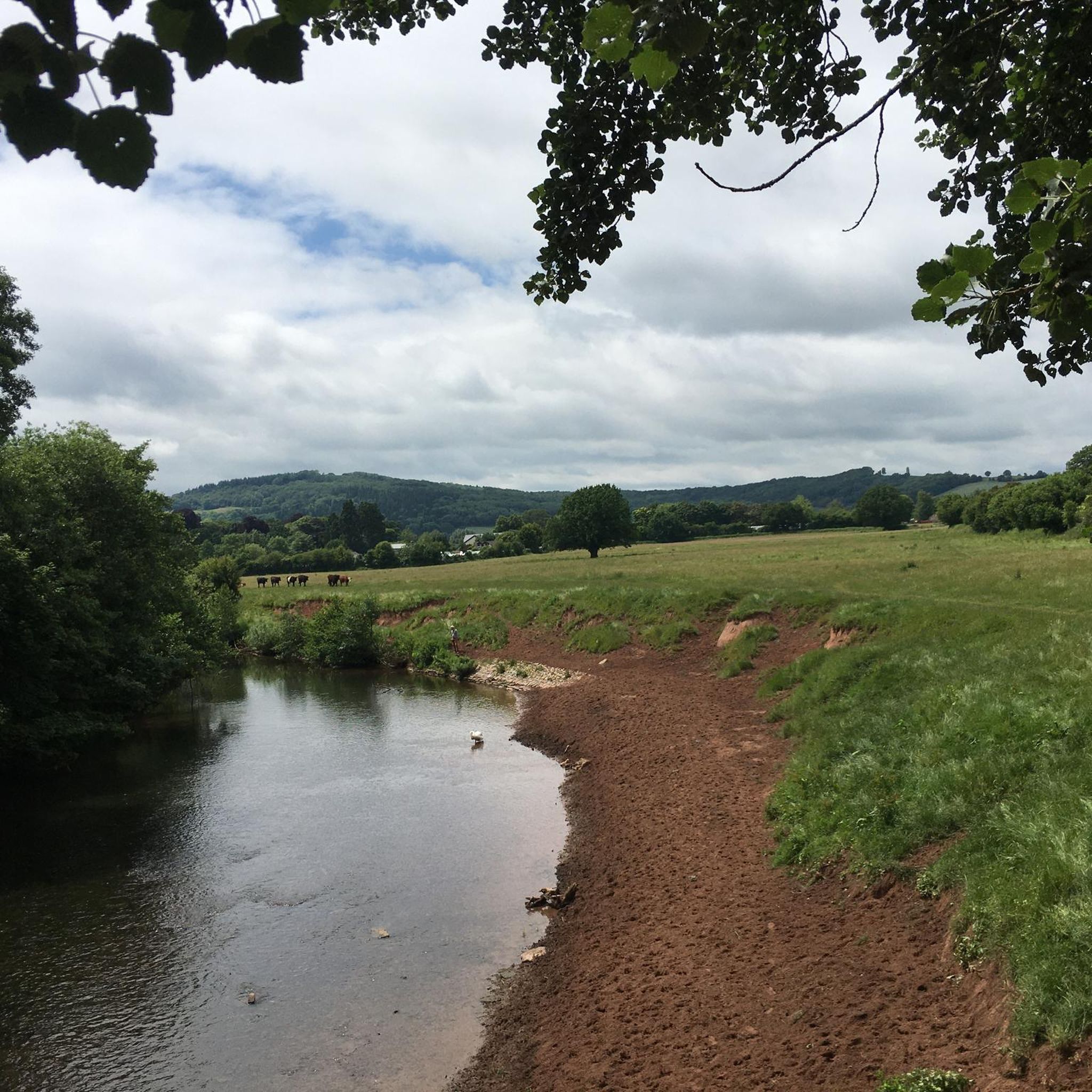
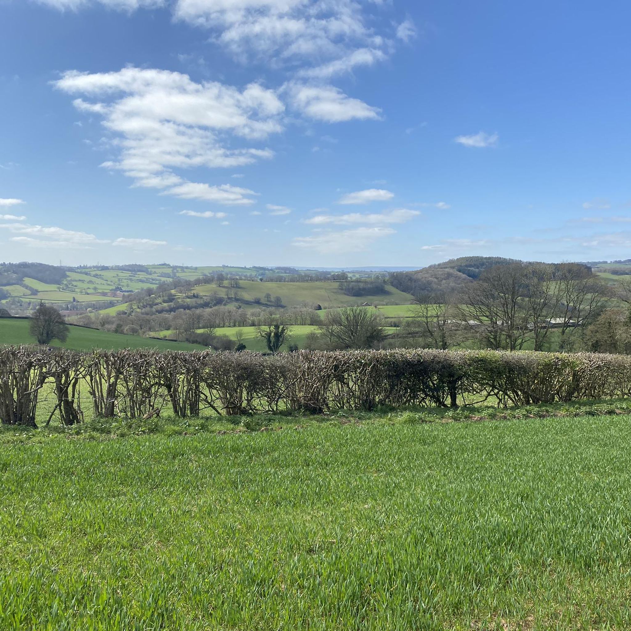
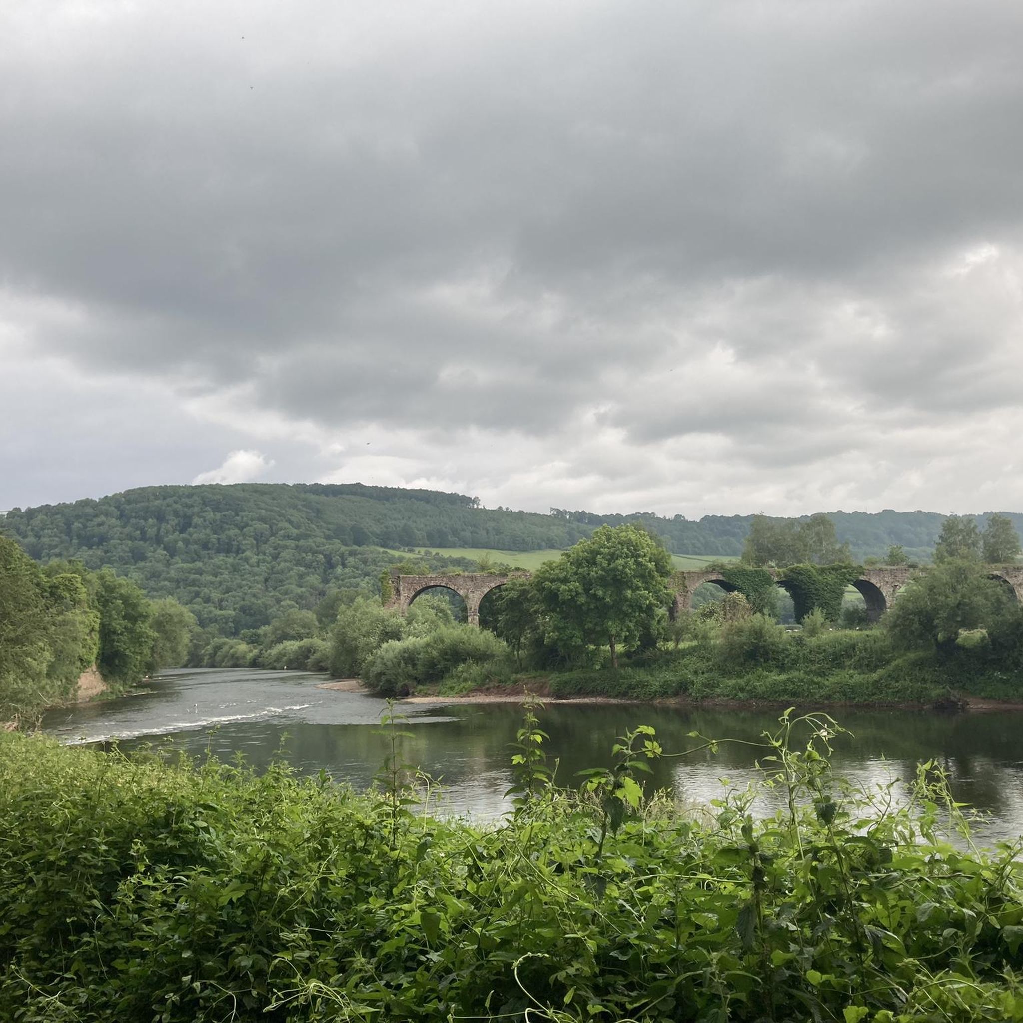

커뮤니티 팁

판타스틱한 트레일 구간으로, 심몬스 얏 협곡 바로 옆에 있습니다. 채석장으로 가는 방화선은 막다른 길이니, 메인 트레일로 다시 올라갈 준비를 하세요. 숙련된 MTB 다운힐러라면 채석장에서 내려가는 트레일이 있습니다.
0
0

This is the lesser known viewpoint around Symonds Yat, but just as with Symonds Yat this is a place to visit in the autumn when the trees are in full colour and the sun is on them to make them really shine.
0
0

Parking on side of the road for two cars. Although a steep climb their are lots of places stop and worth it for the views.
0
0
Whitebrook Valley a picturesque quiet Valley south of the river Wye, steep climb in parts, and narrow, so care needed when decending . You have a choice to ride the road or the bridleway that follows the brook. Stunning properties nestle the side of the length of lane.
0
0
An Old Byway, which sees little use. links the lower mailscot gravel track with the upper. It's a good climb but cuts the full mailshot loop a little shorter if preferred. Take a look at the large scowel "the dropper" halfway up, with small waterfall running.
0
0

From Caldwell Rocks, you get a magnificent view over the Wye Valley. It is also a great spot to watch peregrine falcons. Around this area, archaeologists have uncovered bones from hyenas, sabre-toothed cats and a mammoth.
1
0

Archaeologists have uncovered bones from hyenas, sabre-toothed cats and a mammoth in and around the caves of the valley and human habitation can be traced back to 12,000 years ago with findings of their tools and clothes. In the Iron Age the forts on the Great Doward and Yat Rock provided secure, defensible settlements for the local residents. During Roman times these forts became focal points in the region and the importance of the iron here and in the Forest of Dean made this a valuable prize for the conquerors. Offa's Dyke, built in the 8th century to separate England and Wales, runs close to Symonds Yat. The first recorded use of Symonds Yat in connection with the area is in a Patent Roll of 1256, where the place appears as Symundesyate and Symondesyate. This may contain the Old English personal name Sigemund or a very early surname deriving from it. Yat represents the Old English word geat (pronounced "yat"), meaning 'gate' and describing the gorge. Although a popular local belief, it is not true that the addition of Symonds was made in the 17th century in reference to Robert Symonds of Sugwas and Evesfield, High Sheriff of Herefordshire in 1685, who was indeed a member of the family who owned the lands from Wormelow near Hereford to the border regions in which surround the Yat. The area is also shown as Symons Yate on maps in 1665, Symons Yat in 1717 and Symmonds Gate in 1830. The Yat Gorge was mined for iron ore and remains of a smelting works are located down stream of the Symonds Yat Rapids.[3] The ironworks at New Weir date from the 1590s and were operated by the White family until 1753, when George White leased the site to John Partridge, an ironmonger from Ross on Wye. Partridge combined the ironworks at New Weir with his forge at Lydbrook which smelted pig iron from his furnace at Bishopswood. The works closed when the lease ran out in 1798 and the adjacent weir and lock buildings were demolished and the lock filled in 1814. The ferry at Symonds Yat has always played a huge part in the life here. In 1800 there were 25 hand ferries between Ross and Chepstow just like those outside Ye Old Ferrie Inn and the Saracen's Head today. They were introduced in Roman times to link the forts of the Doward and the Yat and have served military, civilian, tourist and horse traffic over the years.
1
0

Breath taking views and watch the peregrine falcons patrol the valley below!
0
0
자주 묻는 질문
란로탈 협곡에서 탐험할 주요 자연 지형은 무엇인가요?
란로탈 주변의 협곡은 전통적인 캐니언은 아니지만, 극적인 강 계곡과 가파르고 울창한 산비탈을 제공합니다. 주요 지형으로는 구불구불 흐르는 와이 강, 울창한 숲, 인상적인 암석 지형이 있습니다. 캘드웰 록스에서 바라본 와이 계곡 전망 및 화이트브룩 계곡과 같은 장소에서 이를 경험할 수 있습니다.
란로탈 근처 협곡 내에 역사 유적지나 관심 지점이 있나요?
네, 이 지역은 역사적으로 풍부합니다. 캘드웰 록스에서 바라본 와이 계곡 전망 근처의 심몬스 얏(Symonds Yat)에서는 고고학자들이 하이에나와 매머드 같은 고대 동물의 뼈를 발굴했으며, 인류 거주 역사는 12,000년 전으로 거슬러 올라갑니다. 이 협곡은 또한 1590년대의 철광석 채굴 및 제련소의 역사를 가지고 있으며, 8세기 국경 방어 시설인 오파스 다이크(Offa's Dyke)가 근처를 지나갑니다.
란로탈 협곡 근처에서 어떤 야외 활동을 할 수 있나요?
협곡 자체를 탐험하는 것 외에도 이 지역은 다양한 야외 활동을 제공합니다. 수많은 MTB 트레일, 그래블 바이크 코스, 그리고 쉬운 하이킹 코스를 찾을 수 있습니다. 예를 들어, 레이디 파크 우드 자연 보호 구역 및 채석장의 채석장에서 도전적인 산악자전거 코스를 찾을 수 있습니다.
란로탈 협곡에 가족 친화적인 산책로나 트레일이 있나요?
일부 지역은 가파른 구간이 있지만, 많은 트레일이 가족에게 접근 가능한 옵션을 제공합니다. 심몬스 얏 협곡(Symonds Yat Gorge) 주변의 일반적인 지역은 멋진 전망을 제공하는 다양한 산책로를 제공합니다. 특정 쉬운 하이킹 코스를 찾으려면, 킹 아서의 동굴(King Arthur's Cave) 루프와 같은 코스를 포함하는 란로탈 쉬운 하이킹 가이드를 확인할 수 있습니다.
란로탈 주변 협곡을 방문하기 가장 좋은 시기는 언제인가요?
협곡은 일 년 내내 아름답지만, 특히 심몬스 얏 협곡의 단풍이 화려한 색으로 물드는 가을이 매우 아름답습니다. 봄에도 쾌적한 날씨와 피어나는 자연을 즐길 수 있습니다. 방문 전에 항상 현지 날씨 조건을 확인하세요.
란로탈 주변 협곡은 초보자나 경험이 적은 하이커에게 적합한가요?
잘 관리된 길을 가진 많은 트레일은 초보자에게 적합합니다. 하지만 콜드웰 록스(Coldwell Rocks)까지의 등반이나 화이트브룩 계곡의 일부 구간과 같이 가파른 지역도 있습니다. 출발하기 전에 특정 코스 세부 정보와 난이도를 확인하는 것이 좋습니다. 또한 란로탈 주변의 쉬운 하이킹 코스도 마련되어 있습니다.
와이 밸리와 그 협곡들의 탁 트인 전망은 어디에서 찾을 수 있나요?
숨 막힐 듯 아름다운 탁 트인 전망을 원하시면 심몬즈 얏 록(Symonds Yat Rock)으로 가세요. 콜드웰 록스에서 바라본 와이 밸리 전망에서는 장엄한 경치를 감상할 수 있으며, 매(peregrine falcon)도 볼 수 있습니다. 콜드웰 록스(Coldwell Rocks) 또한 가파른 오르막길 끝에 보람 있는 경치를 제공합니다.
평화로운 경험을 위해 조용하거나 덜 붐비는 협곡이 있나요?
네, 화이트브룩 밸리(Whitebrook Valley)는 조용하고 고요한 환경으로 알려져 있어, 번잡한 곳에서 벗어나 평화로운 야외 경험을 추구하는 분들에게 이상적입니다. 계곡을 따라 이어지는 마도(bridleway)는 주요 도로 대신 고요한 대안을 제공합니다.
란로탈 근처 협곡을 따라 개와 함께 산책할 수 있나요?
란로탈(Llanrothal) 지역의 많은 트레일과 공공 산책로는 개와 함께 이용할 수 있습니다. 하지만 자연 보호 구역이나 가축 및 야생 동물이 있는 지역, 특히 레이디 파크 우드 자연 보호 구역(Lady Park Wood Nature Reserve) 근처에서는 항상 개를 목줄에 매는 것이 가장 좋습니다. 항상 현지 표지판과 규정을 따르세요.
란로탈 주변 협곡을 방문할 때 주차 옵션은 무엇인가요?
주차는 다양한 지점에서 가능하며, 종종 작은 주차장이나 도로변 공간이 있습니다. 예를 들어, 콜드웰 록스(Coldwell Rocks) 근처 도로변에 몇 대의 차량을 주차할 수 있는 공간이 있습니다. 심몬즈 얏 록(Symonds Yat Rock)의 경우 전용 주차장이 있습니다. 항상 선택한 출발 지점의 특정 주차 정보를 확인하세요.
란로탈 협곡에서 볼 수 있는 폭포가 있나요?
네, 협곡 안에서 작은 폭포들을 찾을 수 있습니다. 예를 들어, 더 드로퍼 스코울(The Dropper Scowle)은 가파른 바이웨이(byway) 중간쯤에 작은 폭포가 흘러내려 그림 같은 자연 경관을 선사합니다.
협곡을 탐험할 때 무엇을 입거나 가져가야 하나요?
다양한 지형을 고려할 때 튼튼한 워킹화나 하이킹 부츠가 필수적입니다. 변화하는 날씨 조건에 적응하기 위해 여러 겹의 옷을 입는 것이 좋습니다. 물, 간식, 지도 또는 GPS 장치를 가져오세요. 더 가파른 구간이나 산악자전거 트레일을 계획하고 있다면 적절한 안전 장비도 권장됩니다.
란로탈 주변에서 가장 인기 있는 경로
란로탈 주변에서 가장 인기 있는 명소


더 살펴보기
이 지역에서 모든 것을 발견하셨나요? 다음 모험을 위해 란로탈 주변의 추가 협곡을 확인해보세요:
