그웬납에서 가장 멋진 9개의 호수
그웬납에서 가장 멋진 호수를 방문하고 싶나요? 호숫가의 고요한 분위기를 느끼거나 날씨가 따뜻한 날 호수에 발을 살짝 담글 수 있다면 얼마나 좋을까요? Komoot 커뮤니티가 추천한 그웬납의 주요 호수를 아래에서 살펴보고, 다음 모험 때 직접 찾아가보세요!
마지막 업데이트: 10월 16, 2026
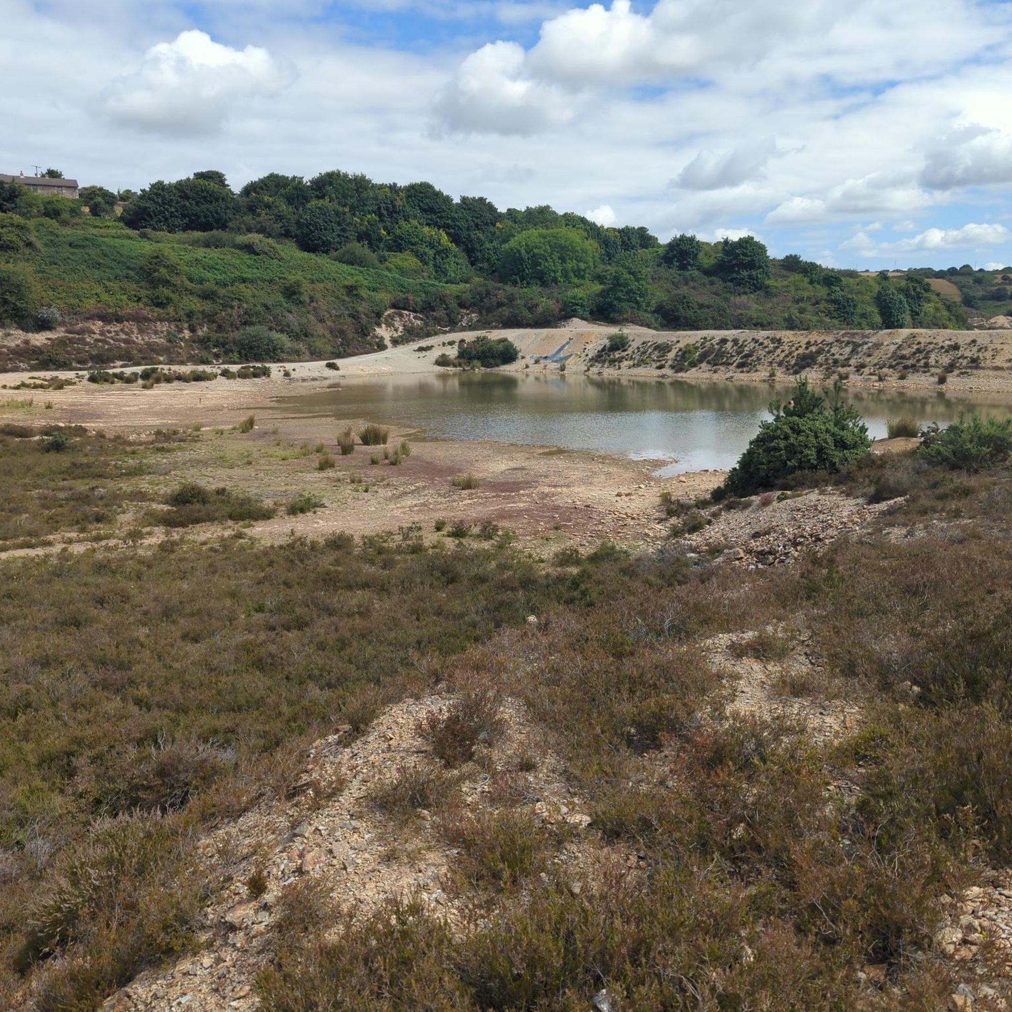
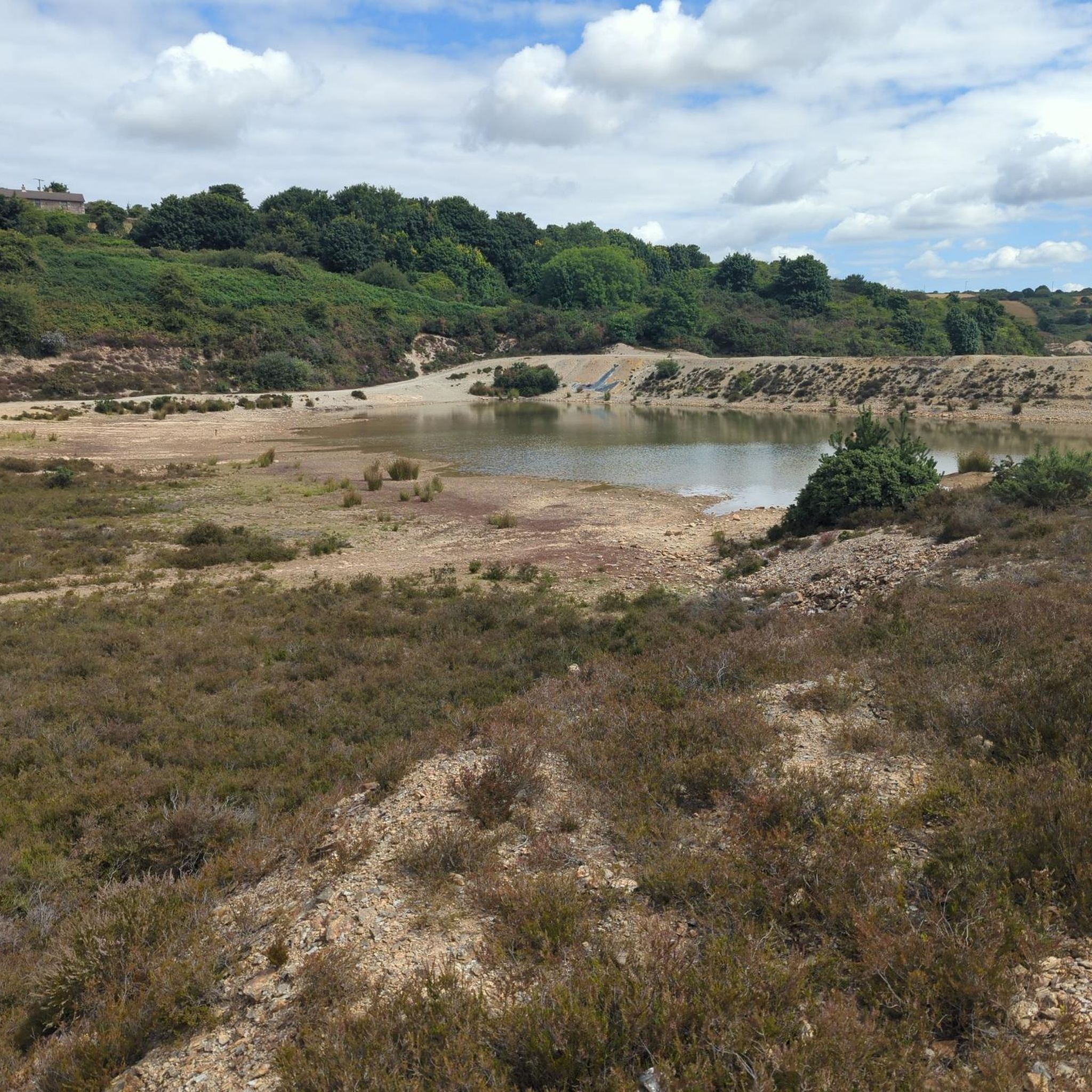
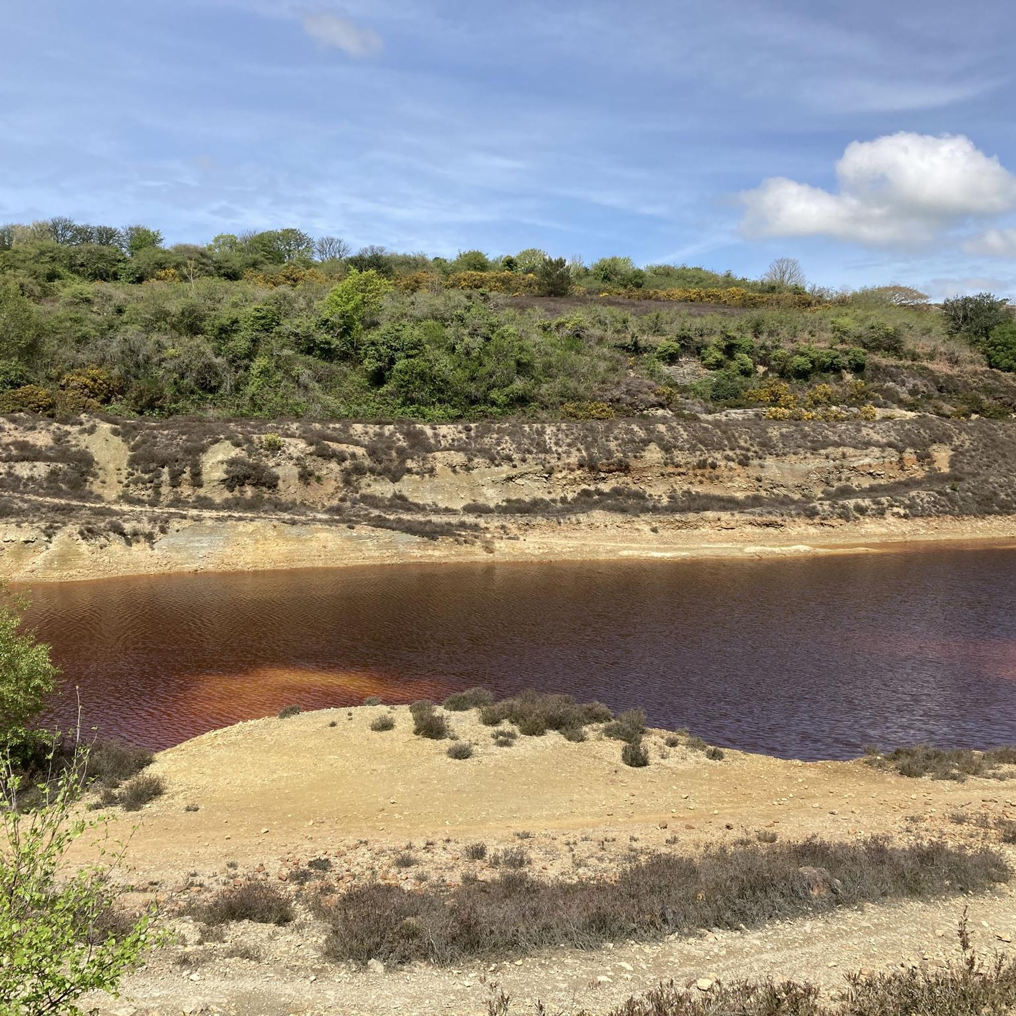
Carn Marth와 Hick's Quarry Pool
하이라이트 • 전망대
팁에 의해

Basset's Cove
하이라이트 • 자연 기념물
번역자 Google •
팁에 의해

이런 장소를 발견하려면 지금 가입하세요
최고의 싱글 트랙, 봉우리 및 다양한 흥미로운 야외 장소에 대한 추천을 받아보세요.
Stithians 저수지 댐
하이라이트 • 기념물
팁에 의해
Ralph's Cupboard
하이라이트 (구간) • 협곡
번역자 Google •
팁에 의해
Falmouth to St Mawes 페리
하이라이트 • 구조물
팁에 의해

무료로 가입하여 그웬납 주변의 더 많은 호수를 발견하세요.
이미 komoot 계정이 있나요?
오늘 무료 계정으로 시작하세요
다음 모험이 기다리고 있어요.


커뮤니티 팁

Breathtaking views. Especially when combined with the blooming heather!
0
0

With loaded bikes you have to forget about it because there is a long staircase in Falmouth to get down to the ferry! What a shame!
0
0

Worth climb to the cairn for the downhill section on the main access road. Then drop into single track round the back lanes of Carharrack. Sweet! :)
0
0


Take a deep breath and escape the hustle and bustle of the city center.
0
0

Great view from the dam across the reservoir towards Carn Menellis
0
0

The Falmouth to St Mawes Ferry runs all year, connecting the two towns. This is a very scenic ferry ride, where you will be able to see both St Mawes and Pendennis castle. The ferry crossing takes approximately 20 minutes. During summer, the ferry runs up to 3 times an hour and in the winter it runs once an hour.
1
0

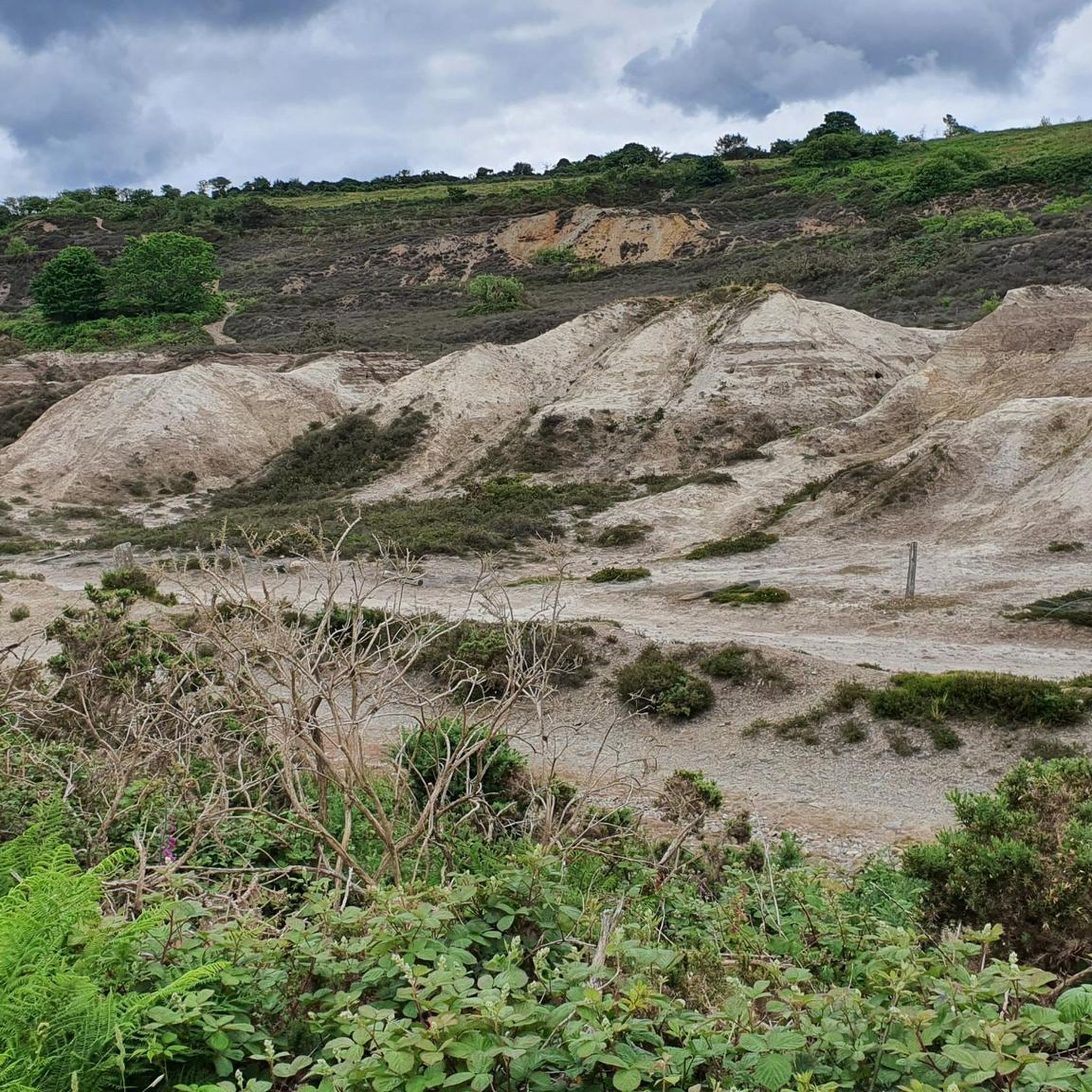
The 7.3 km long circular route takes you back to a time when Cornwall was covered by sea and then became a Europe-wide mountain range. The sedimentary rocks of this area around Portreath were deposited in a deep marine environment during the Devonian age (ca. 393 - 373 million years): Greywacken: Gray rock with fine to coarse grains (0.3 - 2 mm; 0.01 - 0.08 inch), consisting of quartz, feldspars and fragments of foreign rocks. In some cases, shiny/shimmering components can be seen (mica), the rocks form layers and banks. Siltstones: Light gray rock with fine grains (<0.063 mm; <0.002 inch) that are not visible to the naked eye. Layers can be recognized based on the color difference. Slate: Gray to black, sometimes slightly red to greenish colored rocks with very fine grains (<0.02 mm, <0.001 inch), the rocks appear foliated with very thin layers, often alternating with greywackes. The originally horizontal sedimentary layers of Cornwall were tectonically overprinted around 323 - 299 million years ago during the Variscan orogeny (mountain formation). During this time, the southern major continent Gondwana collided with the northern major continents Laurentia and Baltica as well as smaller continent fragments (terranes) such as Avalonia and Amorica. The orogeny ended approximately 270 million years ago with the formation of the supercontinent Pangea. Due to the pressure from the south, the sedimentary rocks were compressed, folded and internally transformed under increasing temperatures. This is how slates emerged from the original claystones. There are no deposits in the area for the period between the formation of the Devonian rocks until 3 million years ago. During the Ice Age 3 million years ago, the region of modern-day Cornwall lay in a tundra area south of the glaciers that covered the Northern Hemisphere. Periglacial deposits from this period can be observed on the cliffs.
0
0
그웬납 주변에서 가장 인기 있는 명소


더 살펴보기
그웬납 주변에서 완벽한 호수를 아직 못 찾으셨나요? 이 지역의 가이드를 확인하여 더 아름다운 장소를 찾아보세요.
