쾨니히제그발트 최고의 사이클링 경로
4.6
(1387)
6,617
자전거 타는 사람
498
라이딩
쾨니히제그발트 최고의 사이클링 경로를 찾으시나요? 쾨니히제그발트에서 가장 멋진 자전거 라이딩 장소를 살펴본 후에 바로 떠나보세요. 여기서 마음에 드는 경로만 고르시면 돼요!
마지막 업데이트: 9월 10, 2026
4.7
(3)
26
자전거 타는 사람
11.3km
00:47
60m
60m
초급용 자전거 라이딩. 모든 체력 수준에 적합. 대부분 포장된 지면. 실력과 관계없이 누구나 갈 수 있음.
4.5
(2)
22
자전거 타는 사람
11.0km
00:43
60m
60m
초급용 자전거 라이딩. 모든 체력 수준에 적합. 대부분 포장된 지면. 실력과 관계없이 누구나 갈 수 있음.

4.7
(3)
15
자전거 타는 사람
12.5km
00:49
80m
80m
초급용 자전거 라이딩. 모든 체력 수준에 적합. 대부분 포장된 지면. 실력과 관계없이 누구나 갈 수 있음.
5.0
(3)
15
자전거 타는 사람
15.5km
00:59
90m
90m
초급용 자전거 라이딩. 모든 체력 수준에 적합. 대부분 포장된 지면. 실력과 관계없이 누구나 갈 수 있음.
5.0
(4)
15
자전거 타는 사람
19.9km
01:11
150m
150m
초급용 자전거 라이딩. 모든 체력 수준에 적합. 대부분 포장된 지면. 실력과 관계없이 누구나 갈 수 있음.
더 다양한 경로와 다른 탐험가들의 추천을 살펴보세요.
이미 komoot 계정이 있나요?
투어 추천은 다른 사람들이 komoot에서 완료한 수천 개의 활동을 바탕으로 구성되어 있습니다.
오늘 무료 계정으로 시작하세요
다음 모험이 기다리고 있어요.

커뮤니티 팁


There's a cool outdoor pool and a delicious beer there too, can really be recommended 👍👍👍
0
0

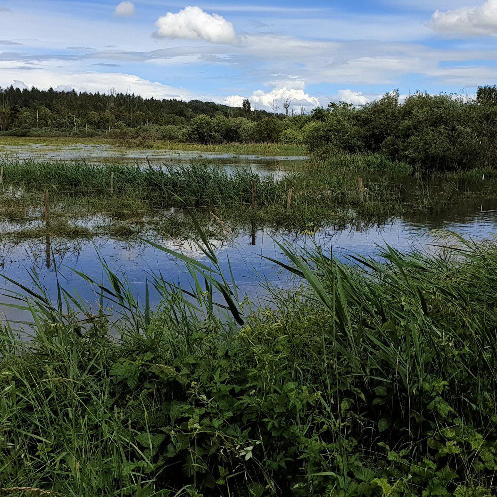
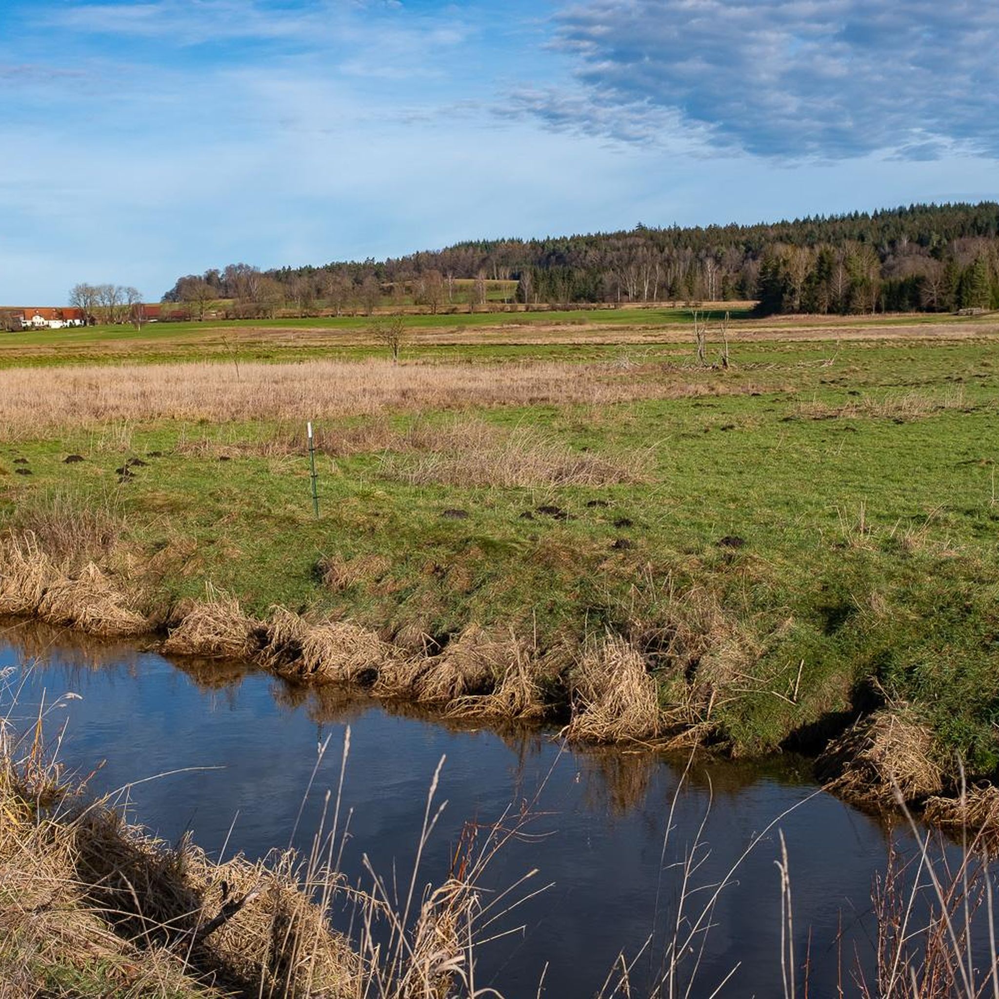
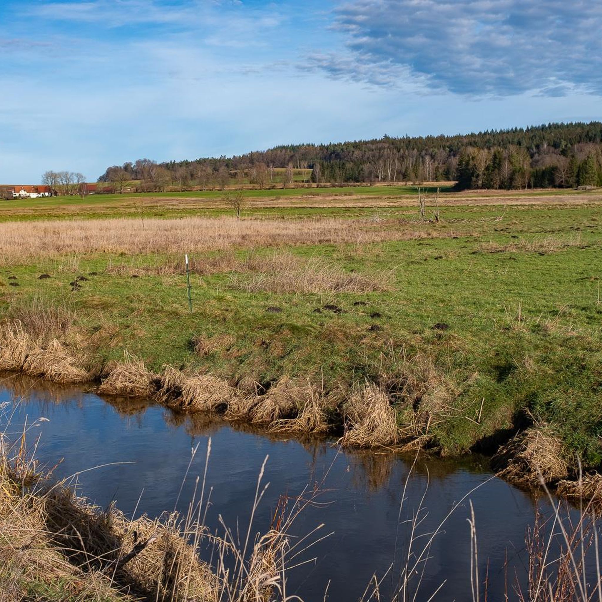
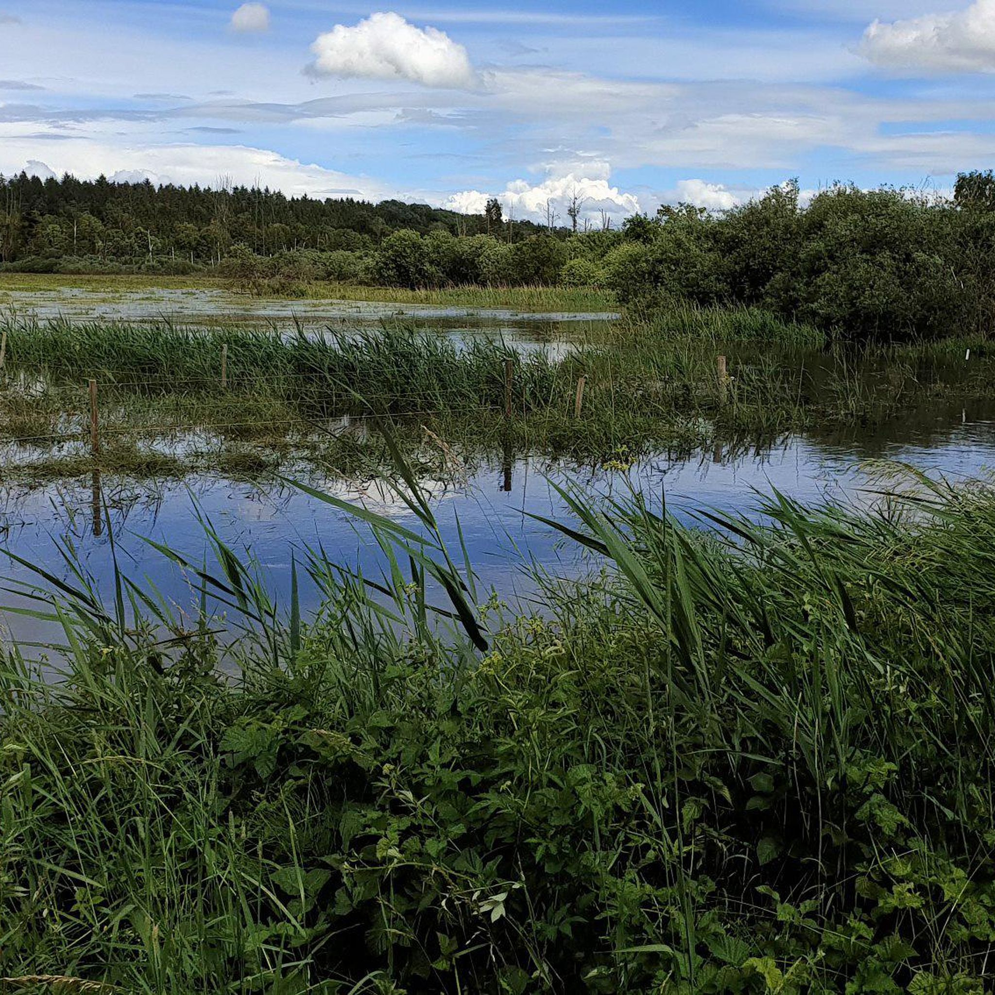
Beautiful, natural reed landscape. Definitely worth a visit 😉.
4
0

The Pfrunger-Burgweiler Ried (formerly Pfrunger Ried), with its 2,600 hectares, is the second largest contiguous moorland in southwest Germany after the Federsee. The Ried lies at an average elevation of 610 m above sea level in the districts of Ravensburg and Sigmaringen, near the municipalities of Wilhelmsdorf and Ostrach. It is surrounded by Tertiary molasse uplands, which reach their highest elevations at Rinkenburg (718 m above sea level) and Höchsten (837.8 m above sea level). Only small parts of the moorland, which once covered almost 3,000 hectares, have survived. Almost 2,000 hectares have been converted to grassland, and about 400 hectares are planted with birch and black alder trees. 120 hectares of water bodies were created by peat cutting; thus, the lowland and intermediate moor areas in particular have disappeared, with only a few remnants. However, the raised bogs have been largely preserved and cover an area of almost 150 hectares. The Pfrunger-Burgweiler Ried Nature Reserve has existed since 1980, covering an area of 780 hectares. It is intensively managed both scientifically and through experiential education and is accessible to visitors via several nature trails. Today's bog area is the remnant of a post-glacial lake that gradually filled with sediment and mineral deposits after the melting of the Rhine glacier, thus partially silting up. This gave rise to fens and, in some places, raised bogs above them. These areas were characterized by depth and wetness and were unsuitable for permanent human settlement. However, mineral infiltration also led to the formation of permanent islands on which the first permanent human settlements emerged. The core of the area, however, remained uninhabited and was considered uncultivable, inferior land. Source: https://de.wikipedia.org/wiki/Pfrunger-Burgweiler_Ried
3
0

Smooth paths, ideal for gravel and touring bikes. Great scenery - through the Ried.
0
0
쾨니히제그발트 주변에서 가장 인기 있는 명소


더 살펴보기
다른 지역의 최고의 자전거 경로를 살펴보세요.
