엘 호요 드 피나레스 최고의 러닝 경로
282
달리기 하는 사람
50
러닝
엘 호요 드 피나레스에서 하이킹하며 발레 바조 알베르체 구석 부분까지 살펴볼까요? 엘 호요 드 피나레스에 있는 모든 하이킹 및 워킹 경로 컬렉션 중 가장 멋진 하이킹 경로를 엄선하여 소개해드릴게요. 다른 하이커가 공유한 실제 팁과 사진을 살펴보고 후기를 읽으며 마음에 드는 엘 호요 드 피나레스 워킹 경로를 찾아보세요.
마지막 업데이트: 8월 30, 2026
35
달리기 하는 사람
29.8km
04:22
1,270m
1,270m
어려운 조깅. 우수한 체력 필요. 튼튼한 신발을 신고 미끄러지지 않게 조심해야 하며, 높은 산을 오른 경험이 있어야 함.
26
달리기 하는 사람
31.9km
04:39
1,290m
1,290m
어려운 조깅. 우수한 체력 필요. 튼튼한 신발을 신고 미끄러지지 않게 조심해야 하며, 높은 산을 오른 경험이 있어야 함.

무료 회원 가입
7
달리기 하는 사람
10.7km
01:32
500m
500m
어려운 조깅. 우수한 체력 필요. 튼튼한 신발을 신고 미끄러지지 않게 조심해야 하며, 높은 산을 오른 경험이 있어야 함.
5
달리기 하는 사람
보통 조깅. 좋은 체력 필요. 대부분 포장된 지면. 실력과 관계없이 누구나 갈 수 있음.
6
달리기 하는 사람
13.1km
01:28
210m
210m
보통 조깅. 좋은 체력 필요. 대부분 포장된 지면. 실력과 관계없이 누구나 갈 수 있음.
더 다양한 경로와 다른 탐험가들의 추천을 살펴보세요.
무료 회원 가입
이미 komoot 계정이 있나요?
투어 추천은 다른 사람들이 komoot에서 완료한 수천 개의 활동을 바탕으로 구성되어 있습니다.
오늘 무료 계정으로 시작하세요
다음 모험이 기다리고 있어요.
로그인 또는 가입하기
엘 호요 드 피나레스 주변 인기 장소
커뮤니티 팁

The cycle trip continues along the lane of the Jacobean route until it connects with the Cebreros highway. The route continues along the side of the road, passing through the popular port of Arrebatacapas and another descent to Cebreros, a mountain town with a wine-growing tradition that would be a good place to finish the second stage when organized as a three-day trip. The Camino de Levante descends from the port along a mountain path that is quite technical and difficult by bicycle, suitable for trail experts and everyone can choose. The path begins next to the port sign and ends where the road enters the urban complex. The track goes down the road, crosses the town and continues the descent along the old Camino Real de Toledo, used by the funeral procession of Isabel la Católica when they carried her remains from Medina del Campo to Granada. At the Cebreros exit there are remains of the old medieval road and on the Alberche River there are the monumental bridges of Valsordo and Santa Yusta, used since Roman times, although they have undergone several reconstructions throughout history. The climb coincides with the last arrows of the Camino de Levante and deviates through the Puente Nuevo urbanization towards San Martín de Valdeiglesias, following the markings of the GR-10 long-distance path, with several hard ramps on the Camino de la Aliseda.
0
0

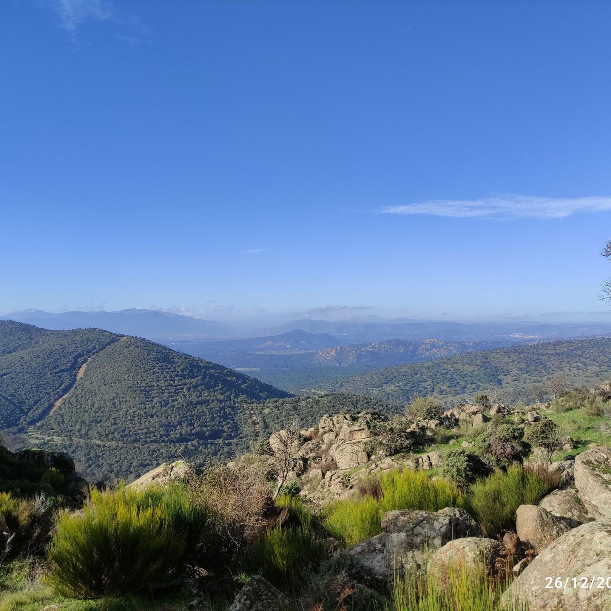
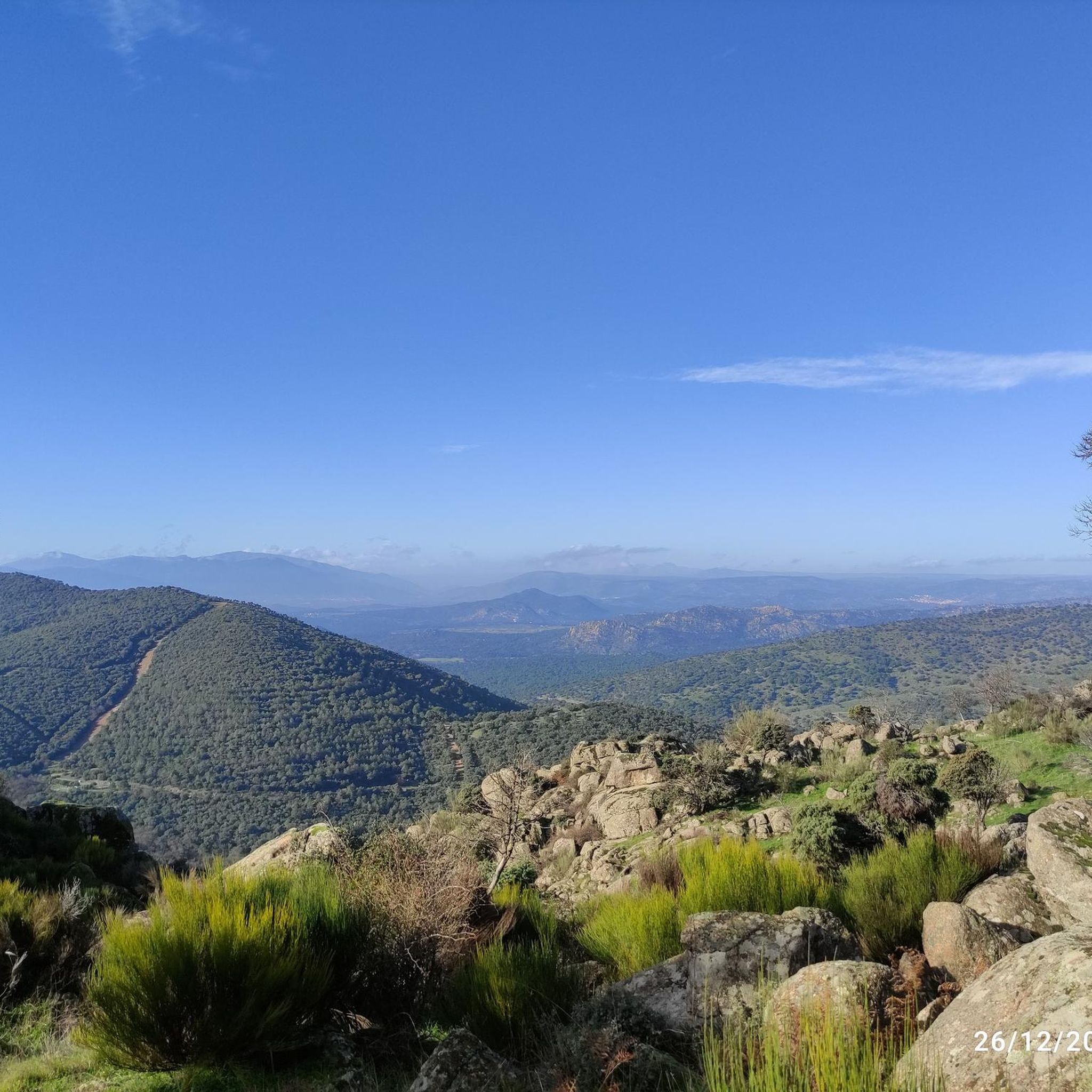
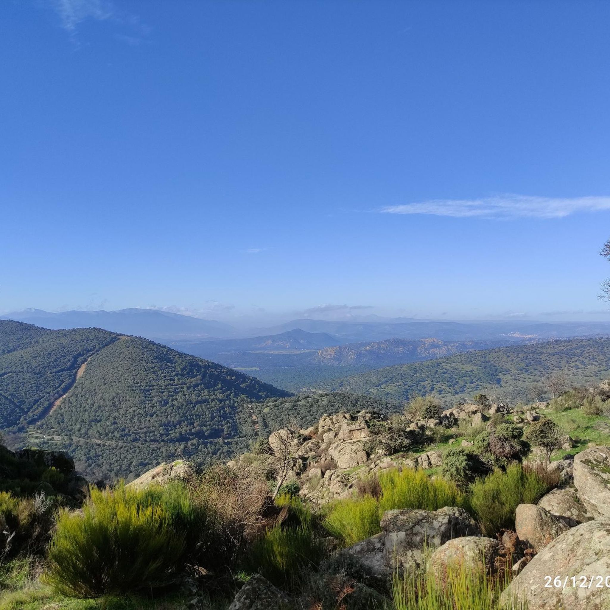
From this point there are very nice and wide views of the town of Cebreros and in the background, Cerro Guisando, one of the last mountains of the Sierra de Gredos on the east side.
1
0
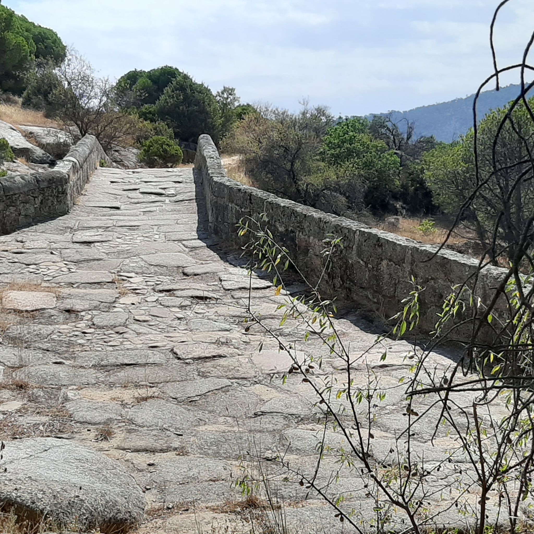
In the Alberche Valley there is this beautiful bridge that crosses the Río Becedas and is of Roman origin made with stones from the area. It's worth getting there!
1
0
Small stone bridge that goes over the Arroyo de la Pizarra. The path that passes near the bridge is called Camino Rasueros.
1
0
Basically irregular ascent, with almost 11 kilometres, which is located on the road that connects Cebreros with San Bartolomé de Pinares. After this point on the road there are ramps going up and down until completing the 11 km.
0
0

The port is about six kilometers long and slopes of 10%. You can enjoy the views that you get during the climb, since it is a paved road with very little traffic.
0
0
엘 호요 드 피나레스 주변에서 가장 인기 있는 명소


더 살펴보기
다른 지역의 최고의 러닝 트레일 & 경로를 살펴보세요.
