렝크에서 가장 멋진 13개의 협곡
렝크에 있는 멋진 협곡 13
개를 소개해드릴게요. 아래에서 멋진 협곡을 살펴보고, 다음 렝크 모험에 도움이 될 만한 사진, 팁, 추가 정보를 알아보세요.
마지막 업데이트: 8월 25, 2026
다라슐루흐트 온천수 데크
하이라이트 • 다리
번역자 Google •
팁에 의해


이런 장소를 발견하려면 지금 가입하세요
최고의 싱글 트랙, 봉우리 및 다양한 흥미로운 야외 장소에 대한 추천을 받아보세요.
무료 회원 가입


오늘 무료 계정으로 시작하세요
다음 모험이 기다리고 있어요.
로그인 또는 가입하기
렝크 주변 인기 장소
Alpine flowers and lunar craters – hiking in the Bernese Oberland
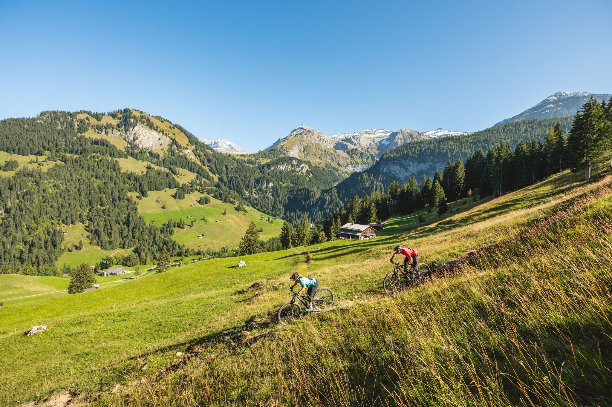
Short yet speedy: quick MTB rides in Lenk Simmental
Coolcation instead of the heat in Lenk-Simmental
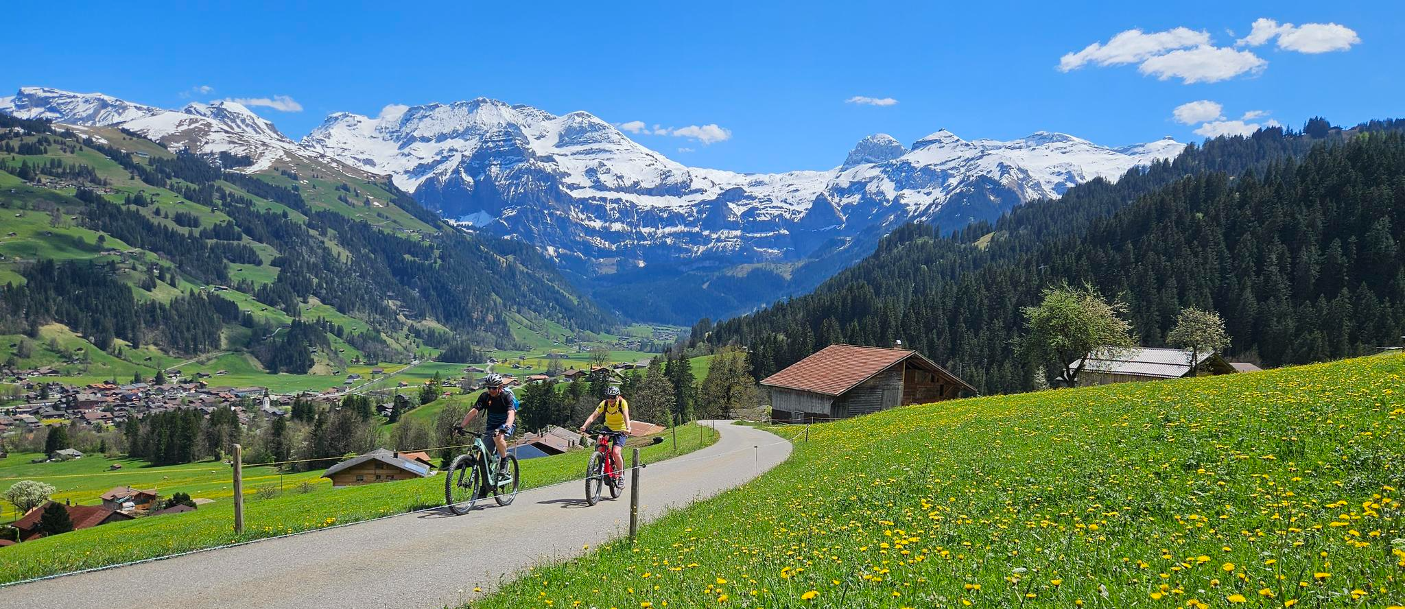
Finest routes for pleasure cyclists – Lenk and the Simmental
Late Summer: Great Hiking in Adelboden-Lenk-Kandersteg
Discover the most beautiful MTB trails in Lenk-Simmental
Gipfelgenuss im goldenen Licht – Herbstwandern mit rivella
Wandergenuss für alle Sinne – Mit rivella in die Berge
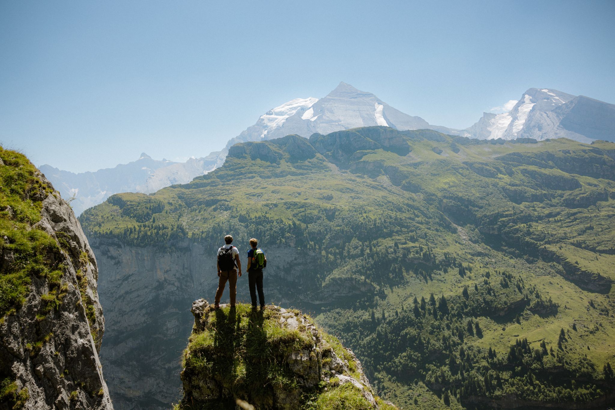
Top 5 Wanderungen in Adelboden-Lenk-Kandersteg
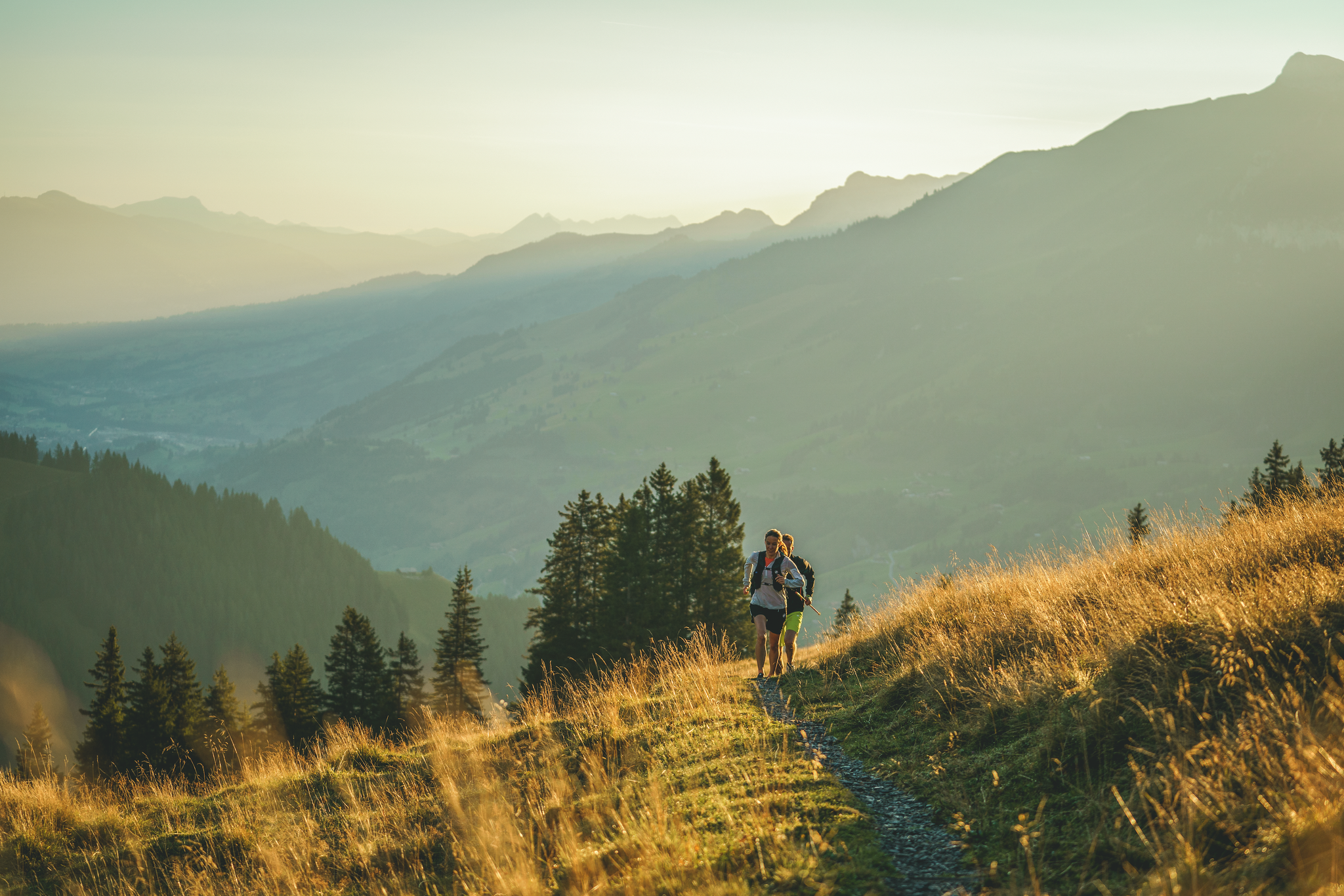
Trailrunning in Adelboden-Lenk-Kandersteg
렝크 주변의 다른 모험


커뮤니티 팁

포흐텐케셀(Pochtenkessel)은 베른 고원(Berner Oberland)의 프리투겐(Frutigen) 위에 위치한 인상적인 폭포 및 협곡 구간입니다. 이곳에서 엔그슈틀리게(Engstlige) 강은 좁고 바위가 많은 협곡을 통해 쏟아져 내리며 장엄한 자연의 소용돌이를 형성합니다. 특히 비가 온 후나 눈이 녹는 동안 엔그슈틀리게 강에 물이 훨씬 많아질 때 포흐텐케셀은 더욱 아름답습니다. 하지만 수위가 낮을 때에도 바위 지형과 물의 힘은 인상적입니다. 하이킹 중에 야생 자연, 물, 그리고 인상적인 암석 지형을 경험하고 싶은 모든 사람들에게 가볼 만한 가치가 있는 곳입니다.
0
0

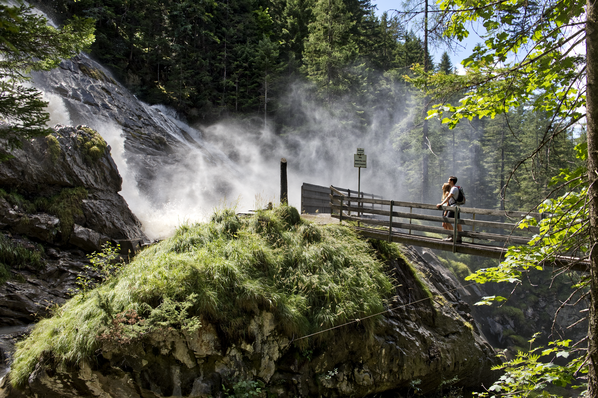
The Pochtenkessel is one of the most impressive spots in the entire gorge. Here, the water plunges with tremendous force into a naturally eroded rock basin, formed over millennia – a perfect example of how powerfully water can shape a landscape. The thunderous roar, the splashing spray, and the narrow rock walls create an almost mystical atmosphere.
0
0

Rather deep, possible with large backpacks but a bit cumbersome.
1
0
The Tungelschuss waterfall plunges roaring water from the Tungelbach stream over several cascades into the depths – particularly spectacular after snowmelt. The viewing point on the western shore of Lake Lauenen, about 400m from the parking lot, offers a clear view of the waterfall – often accompanied by a loud roar. 🥾 Hike & Access Access: From the parking lot at Lake Lauenen, a well-marked hiking trail takes about 5–10 minutes to the observation point. A popular circular hike (approximately 9–12km, 3–5 hours) connects Lake Lauenen, Tungelschuss, Geltenschuss, and the Geltenhütte SAC – a moderately difficult hike with an elevation gain of around 700m. 📌 Facts at a Glance Altitude approx. 1430m above sea level. M. Distance from the parking lot to the waterfall observation point: approx. 400 m Hiking route: Circular route with Geltenschuss and Geltenhütte possible Duration: Circular route: approx. 3–5 hours, moderate difficulty (T2–T3)
0
0

The drive to the official parking lot in Holzachsegga is an adventure in itself. The road is so narrow on the steep slope that even an oncoming bicycle wouldn't be able to pass. If there's oncoming traffic, you have to reverse for long stretches. From the parking lot, it's only a few minutes' walk to the gorge, which is truly breathtaking. Those with a bit more time can skip the parking lot and climb from the valley floor.
1
0


멋진 협곡과 폭포. 광택 나는 석회암에 지어진 나무 계단과 산책로를 따라 걸으며 폭포를 가까이서 감상하세요. 그 후 맑고 투명한 수영장에서 더위를 식힐 수 있습니다.
0
0


