칼데스 데스트라크에서 가장 멋진 4개의 산 정상
칼데스 데스트라크의 산 정상에 오르면 이 지역의 아름다운 모습을 제대로 구경할 수 있어요. 다만, 4
곳이나 되는 산 정상 중에서 어떤 곳을 가야 할 지 고민된다는 게 문제죠. 칼데스 데스트라크에서 가장 멋진 산 정상을 살펴본 후에 마음에 드는 산 정상을 다음 모험 계획에 추가해보세요.
마지막 업데이트: 10월 13, 2026
몬탈트
하이라이트 • 정상
Montalt is a mountain that belongs to the Catalan coastal range, within the Corredor mountain range and the …
번역자 Google •
팁에 의해

투로 데 오노프레 아르나우
하이라이트 • 정상
번역자 Google •
팁에 의해

이런 장소를 발견하려면 지금 가입하세요
최고의 싱글 트랙, 봉우리 및 다양한 흥미로운 야외 장소에 대한 추천을 받아보세요.
베르티세 지오데시코 투로 데 타라우
하이라이트 • 기념물
They serve as reference points for making maps, measuring terrain, and adjusting GPS navigation systems.
번역자 Google •
팁에 의해

Turó d'en Vives
하이라이트 • 정상
번역자 Google •
팁에 의해
투로 데 세르다뇰라
하이라이트 • 전망대
번역자 Google •
팁에 의해
무료로 가입하여 칼데스 데스트라크 주변의 더 많은 봉우리를 발견하세요.
이미 komoot 계정이 있나요?
오늘 무료 계정으로 시작하세요
다음 모험이 기다리고 있어요.

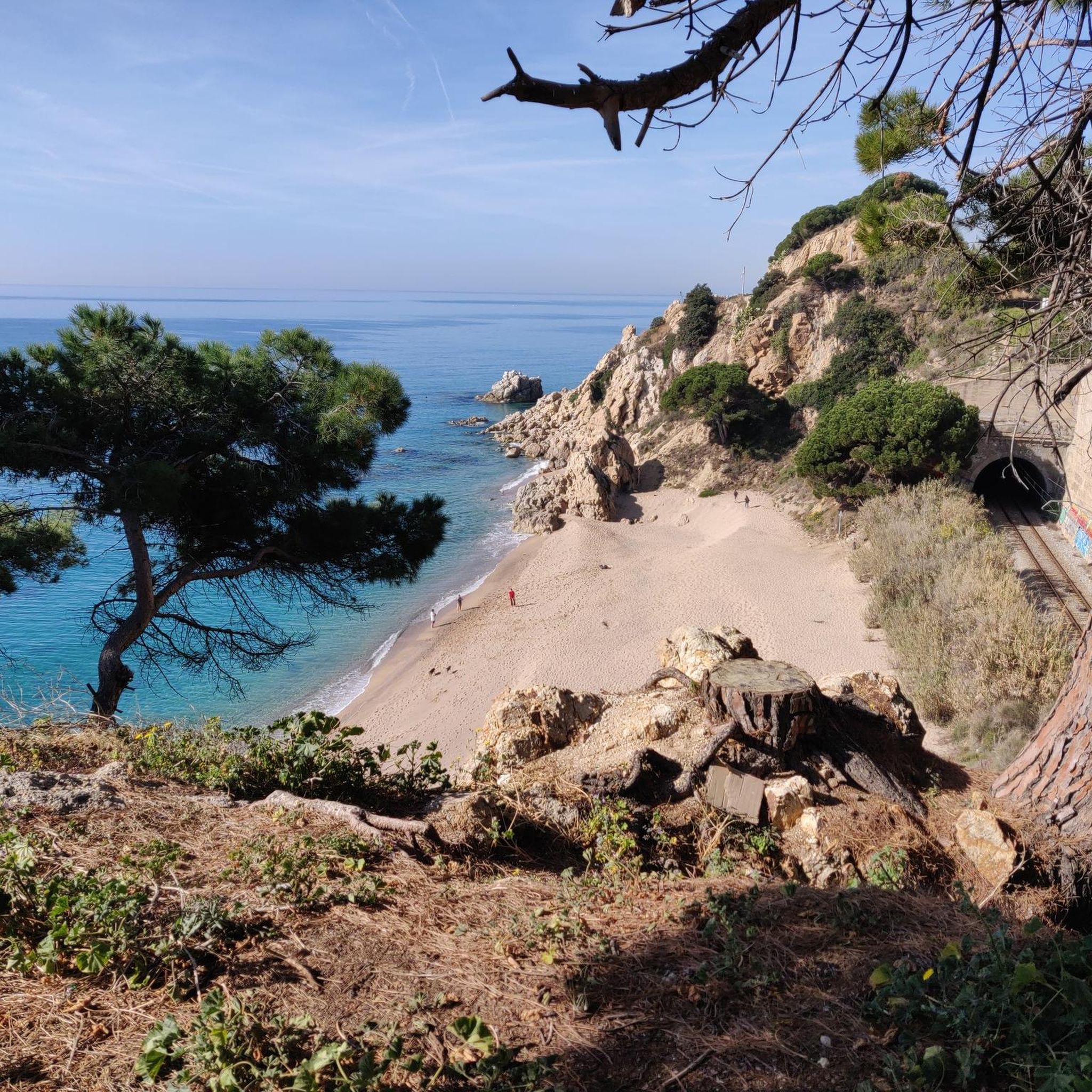
커뮤니티 팁

자전거를 타고 이곳에 멈춘다면 계속 가기 전에 위를 올려다보세요. 20미터가 넘는 이 거대한 탑은 고립된 것이 아니었습니다. 이 지역의 옛 방어 경관의 일부였습니다. Can Tria de Mata에서는 이 지역의 다른 감시 지점들과 시각적인 접촉이 가능했습니다. 더 위쪽에는 옛 Castell de Mata가 있던 Turó d’Onofre Arnau가 있고, 근처에는 Torre d’Onofre Arnau도 보존되어 있습니다. 심지어 Castell de Burriac도 이 방어선의 일부였습니다. 아이디어는 간단했습니다. 위험이 닥치기 전에 위험을 감지하는 것. 이 높은 지점에서 바다, 길, Mata의 땅을 통제했습니다. 오늘날 가장 심각한 위협은 아마도 Garmin 배터리가 방전되는 것일 겁니다. 500년 전에는 지중해를 바라보는 것이 훨씬 더 중요했습니다. 탑 사진을 찍고 이곳에서 이 영토를 감시하던 다른 지점들을 찾아보기에 좋은 장소입니다.
0
0
They are spread throughout Spain. In Spain, for example, there are more than 11,000 geodetic vertices established by the National Geographic Institute. They serve as reference points for making maps, measuring terrain, and adjusting GPS navigation systems. This one stands out for its height, but I assure you, you won't miss anything; furthermore, access is difficult.
5
0
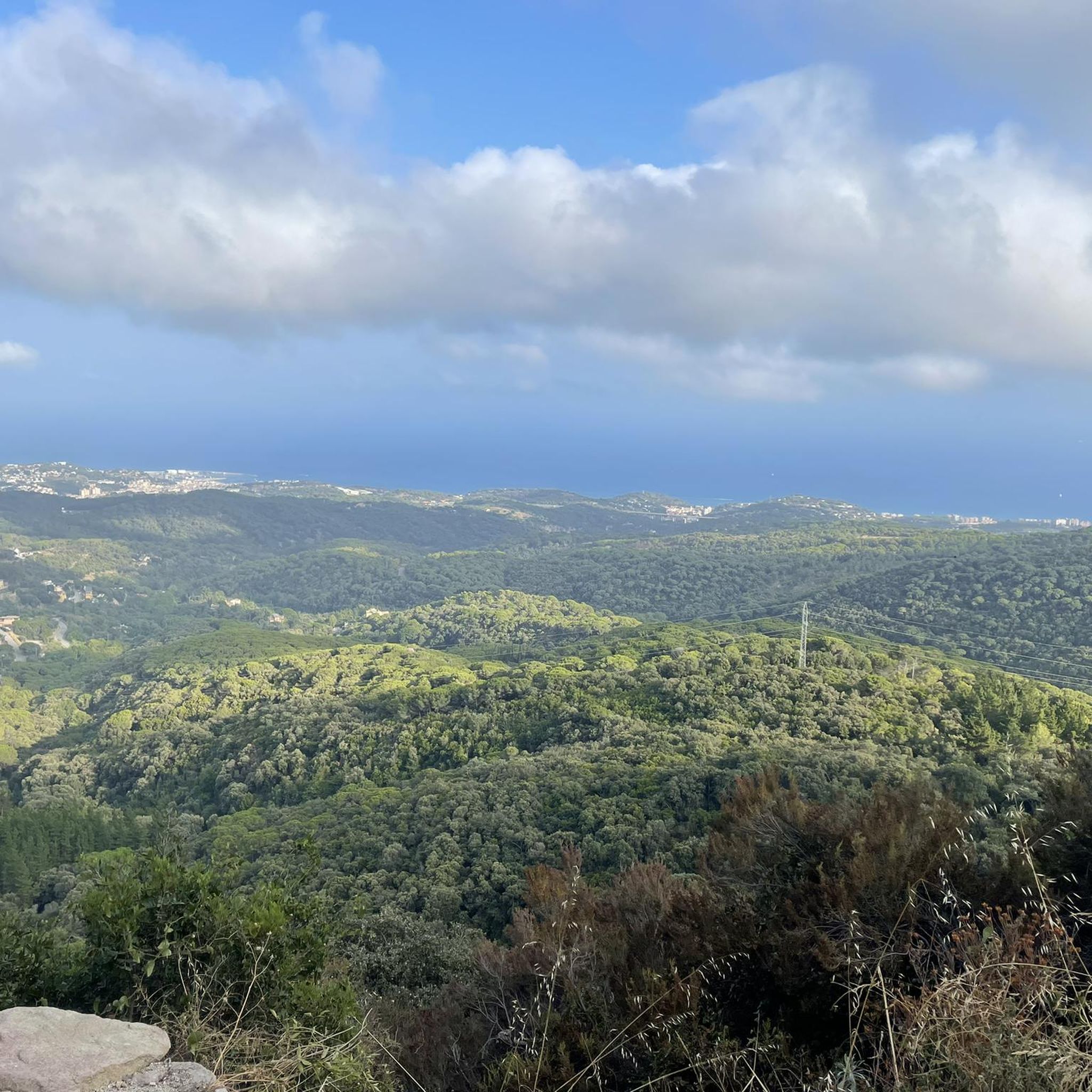
With 360º views, you will control Barcelona, Calella, Can Bruguera and with luck the island of Mallorca. It has a tower where foresters come in summer to control fires. In the rear part, a cylindrical construction that warned the inland populations of possible invasions by sea. It's worth going up here.
1
0
In the Middle Ages, this point marked the boundaries between the castles of Mataró and Burriac. Because of its visibility, gallows were also installed to hang criminals. However, it was a way to punish and at the same time set an example for anyone who was tempted to commit a crime. Embedded in a rock we find a geodetic signal. It is a stainless steel nail. It is part of an extensive network that facilitates high precision in cartography. Finally, we go down any of the several paths that are there and in no time we are back at the starting point and end this walk on Turó de Cerdanyola de Mataró.
3
0

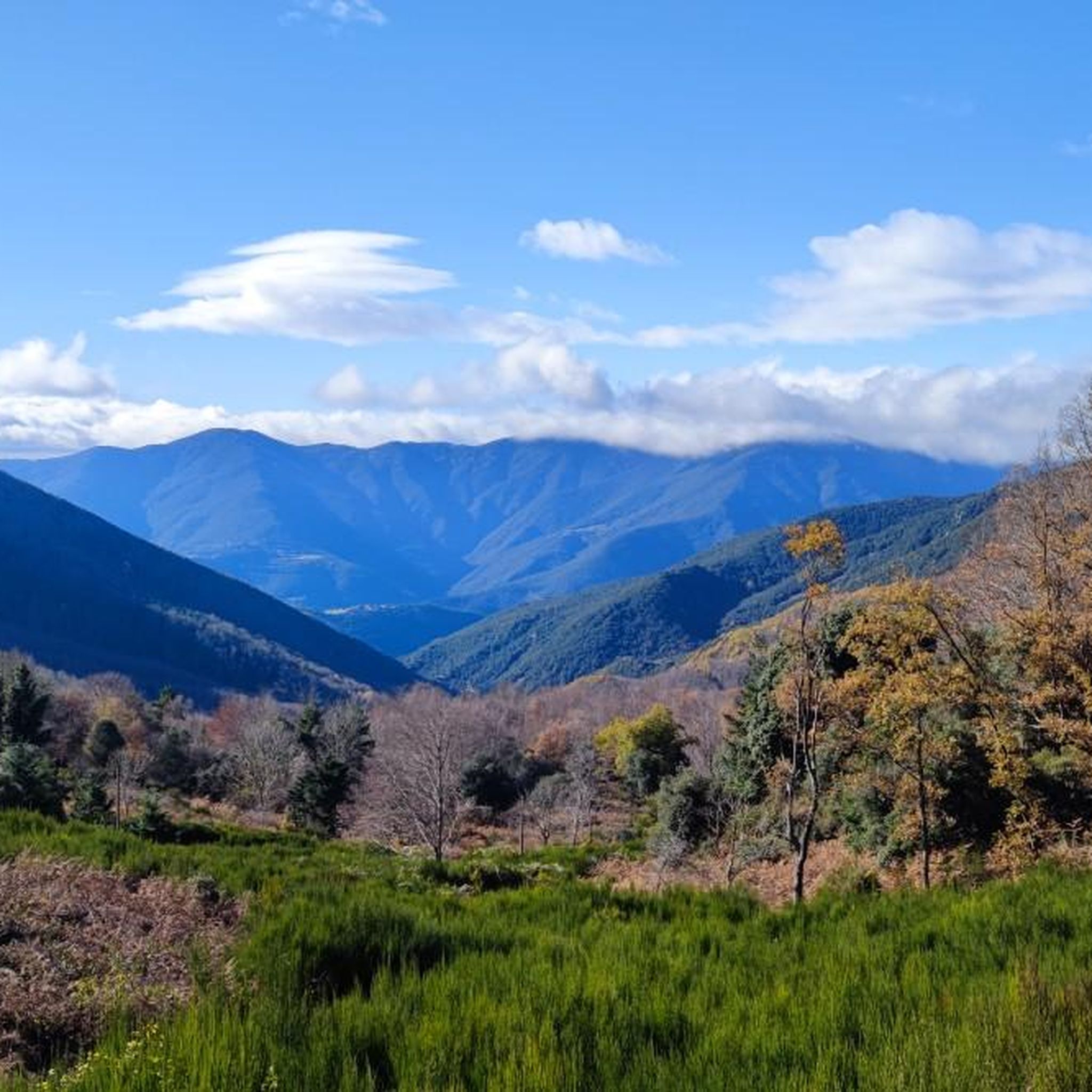
El Montalt is a mountain belonging to the Catalan coastal range, within the Sierra del Corredor and the protected natural area in which it is included. A few kilometers from the coast, the top is surrounded by forest. A common point to face the final meters of ascent is the Coll de la Ferradura, a pass located to the northeast. It is a crossroads of different paths and forest tracks and, from this point, the path to the summit is narrow and has a very steep slope. The northern slope enters completely into the natural park, with different plateaus, other peaks and the Creu de Rupit, an outstanding cross in the middle of the path. To the northeast is the Sanctuary of the Corridor, with a car park and a tourist service office. From this point, through forest tracks, To the south, we find two towns, Sant Andreu de Llavaneres and Sant Vicenç de Montalt, well connected by tracks and paths. In the same way possible starting points for the ascent, to the west is the municipality of Dosrius and its population center of Canyamars, while to the east is the town of Arenys de Munt. On the other hand, the first stage of the Camino del Norte, or GR 83 long-distance path, which begins in the town of Mataró, passes very close, along its northern slope. Its top houses a geodesic vertex and a mailbox, offering magnificent views of the entire Maresme coast.
1
0

Peak included in the list of 100 peaks of the F.E.E.C. https://www.feec.cat/activitats/100-cims/cim/montalt/ Montalt is a mountain that belongs to the Catalan coastal range, within the Corredor mountain range and the protected natural area where it is included. A few kilometers from the coast, the peak is surrounded by forest. A common point to face the final meters of ascent is the Coll de la Ferradura, a hill located in the northeast. It is a junction of different forest trails and tracks, and from this point the path to the top is narrow and has a very steep slope. The northern slope goes completely into the natural park, with different plateaus, other peaks and the Creu de Rupit, a prominent cross in the middle of the path. To the northeast is the sanctuary of the Corredor, with a parking lot and a tourist office. From this point, through forest tracks, To the south we find two towns, Sant Andreu de Llavaneres and Sant Vicenç de Montalt, well connected by tracks and trails. In the same way possible starting points for the ascent, to the west there is the municipality of Dosrius and the population center of Canyamars, while to the east is the town of Arenys de Munt. On the other hand, the first stage of the northern route, or GR 83 long-distance trail, which starts in the town of Mataró, passes very close, on its northern side. Its summit houses a geodesic vertex and a mailbox, offering magnificent views of the entire Maresme coast, despite the increasingly exuberant vegetation limiting them as time goes by.
1
0
The Can Triter tower, with a rectangular plan and gabled roof, was linked to the farmhouse of the same name. Of the tower, the stone ashlars of the corners, the Gothic window and the loopholes on the third level of the tower stand out. Next to it are the remains of an old circular stone tank. A few meters away are the remains of the old walls of the castle farmhouse. The tower has been recently restored. Following the chronological evolution of the locality's names, at the end of the 11th century, the toponym "Mataró" (written Matero) appears. Written in this way already appears in the year 1098 to name the castle located near the farmhouse, now gone, which was built on the hill of Onofre Arnau, to the east of the city, and which documents prior to the mentioned date called the castle or Torre de Mata
1
0
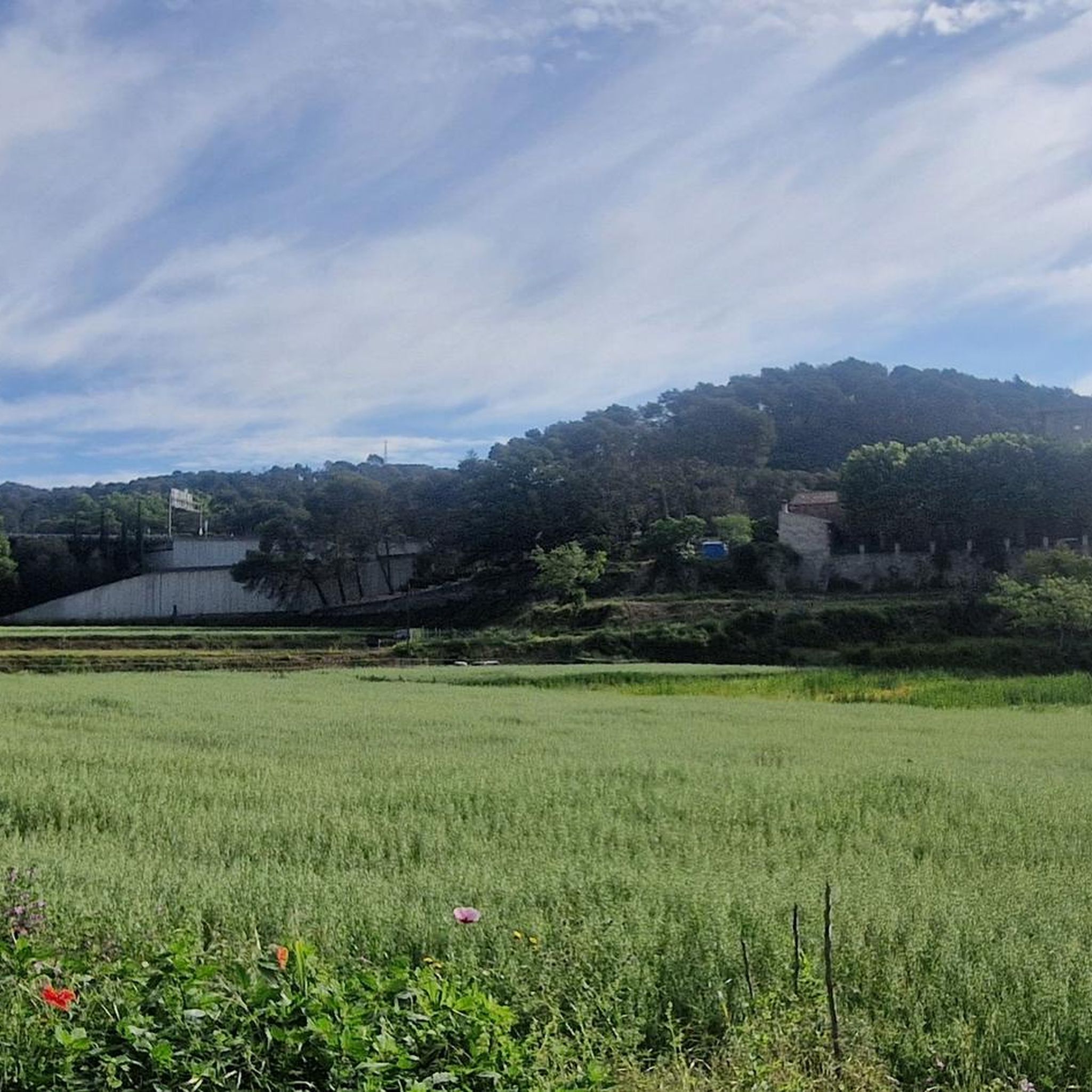
132 m hill included in the list of 100 peaks of the F.E.E.C. https://www.feec.cat/activitats/100-cims/cim/turo-donofre-arnau/ Mata is the closure to the north of the city, perfectly delimited at ridge level but with an extended extension, so that the name (which as we say in Catalan "fa la cosa" beats full of different orographic elements. It is called Turó de Mata al Turó d'Onofre Arnau, which culminates the best view over the city by the sea and over all the Cinc Sénies already there was where the mighty Castle of Mata stood, the most important of the city. A fortification historical, that if it had been preserved or wanted to do more historical and archaeological research, who knows if we could have had our own Burriac. Capgrossades through the centuries, ours. It seems that the Castle of Mata was located at the top of what is now known as Turó d'Onofre Arnau, although practically nothing else is known about it. In 1850 there were no remains of the building and the architectural characteristics it should have had are unknown. The existing restored building on the western side of the hill, a few meters from the top, has nothing to do with the primitive building of the castle. This is Onofre Arnau's farmhouse, also known as Can Triter, Can Major del Castell or simply Torre de Mata. The entire area of the same name was governed from the so-called Castell de Mata, in feudal times it went from the Riera d'Argentona to the Caldes d'Estrac and from the ridge of the Serra de Marina to the sea. The first owners of the castle were the counts of Barcelona and later the Castellvell-Montcadas, who owned an extensive territory of Catalonia. Albert de Castellvell died in 1205 and, having no offspring, his sister Guilleuma inherited - she was separated from Guillem Ramon de Montcada - and, when he died in 1228, his son Guillem de Montcada inherited. At the end of the 14th century, there were violent confrontations, such as the attempted assault on the castle in 1391. And in the 15th century, it ceased to be inhabited after a fire that practically destroyed it. The so-called Camí del Castell de Mata originally connected the sector of the Cinc Sènies and the Castle with the Neighborhood of Mata proper and was also the starting point for the rural path of Sant Andreu de Llavaneres.
0
0
칼데스 데스트라크 주변에서 가장 인기 있는 명소


더 살펴보기
이 가이드를 통해 칼데스 데스트라크 주변의 더 놀라운 정상들을 확인해보세요:
