옥텐둥 최고의 등산 경로
4.7
(5)
22
등산객
1
하이킹
옥텐둥에서 하이킹하며 마옌-코블렌츠 구석 부분까지 살펴볼까요? 옥텐둥에 있는 모든 하이킹 및 워킹 경로 컬렉션 중 가장 멋진 하이킹 경로를 엄선하여 소개해드릴게요. 다른 하이커가 공유한 실제 팁과 사진을 살펴보고 후기를 읽으며 마음에 드는 옥텐둥 워킹 경로를 찾아보세요.
마지막 업데이트: 5월 9, 2026
5.0
(2)
10
등산객
8.68km
02:20
100m
100m
보통 등산 코스. 좋은 체력 필요. 실력과 관계없이 누구나 쉽게 갈 수 있는 길.
4.0
(1)
6
등산객
7.83km
02:21
230m
230m
보통 등산 코스. 좋은 체력 필요. 대부분 갈 수 있는 길. 미끄러지지 않게 조심해야 함.
투어 추천은 다른 사람들이 komoot에서 완료한 수천 개의 활동을 바탕으로 구성되어 있습니다.



커뮤니티 팁

From the campsite north of the lake and along the eastern shore, there's a forest path around the lake. The path is unpaved and, in places, very dusty. This path is shared with pedestrians, so it can be busy on nice weekends, so please be considerate of others.
8
0

On January 20, 1820, Daniel Heinrich Delius, the President of the Trier government, acquired the monastery estate of Laach Abbey. Between 1840 and 1845, his descendants, the Delius and von Ammon families, as owners of the monastery estate and the lake, had a new Delius tunnel built approximately 5 meters lower and approximately 1,070 meters long, with the older Fulbert tunnel partially filled with the new excavated material. This reduced the lake's surface area by approximately 48 hectares, and the agriculturally usable area was significantly increased. Source: Display board
11
1
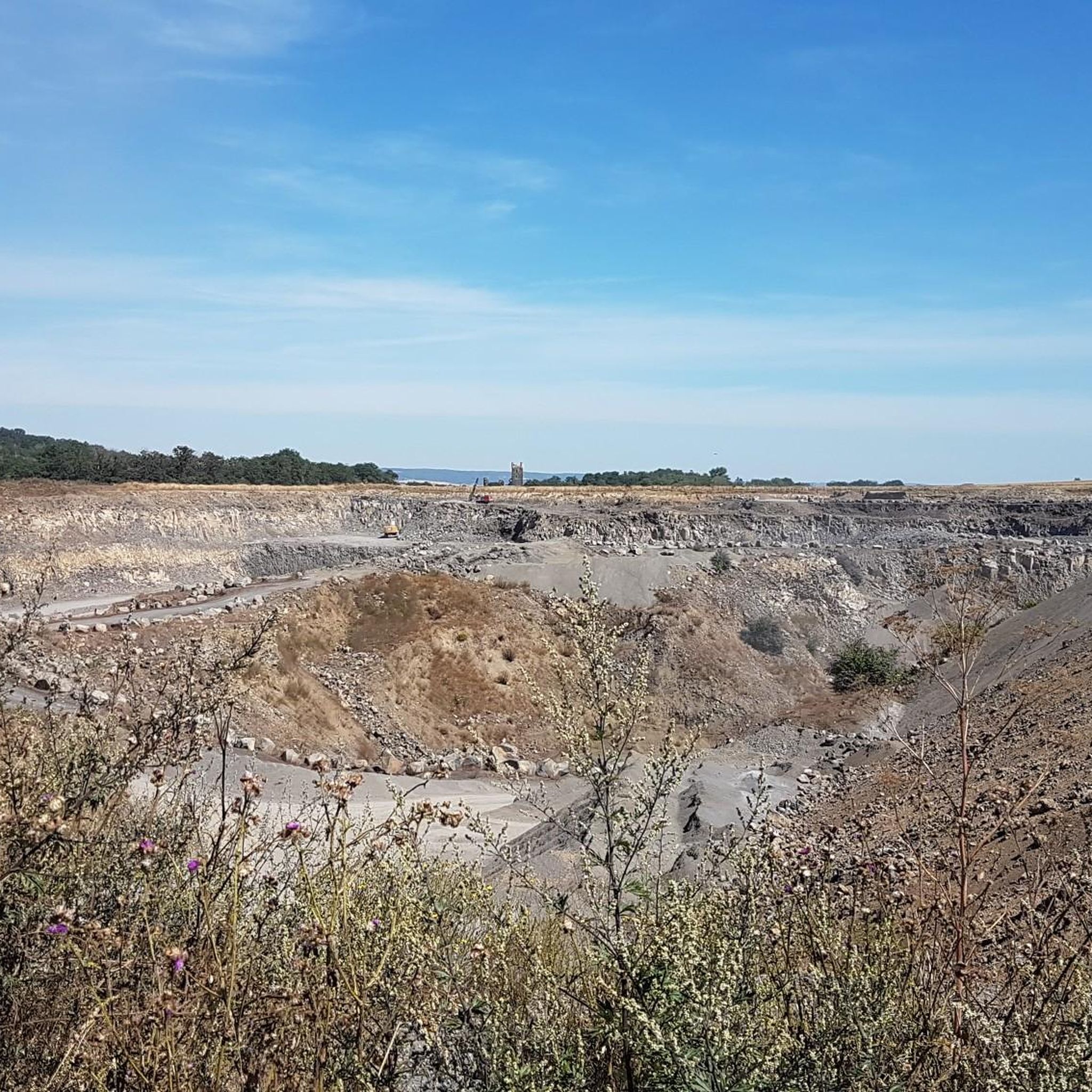
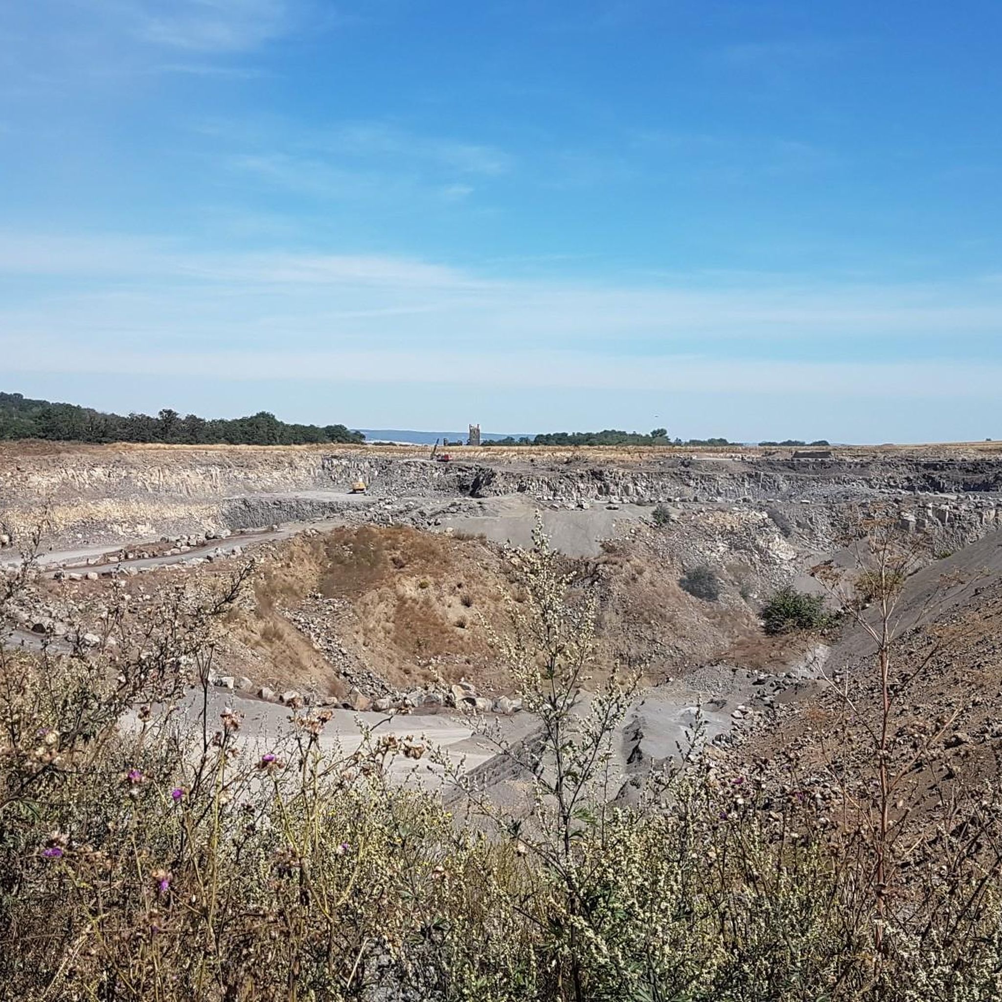
Even though only the upper part of the quarry is visible, it is still a beautiful geological outcrop.
8
0


🎨💚Wonderful panorama over the Moselle valley/Moseltal bridge/Kobern-Gondorf. Surrounded by vineyards💚 A great photo location with the Niederburg ruins🏰📷👌🏼. A changing picture at any time of day/year 🍃🍂🍇👌🏼. 🥾🥾The Tatzelwurmweg led us here 🥾🥾🎒
1
0
The Laacher See area is of volcanic origin🌋. The oval Laacher See 🌊 is the largest lake in Rhineland-Palatinate with around 3.3 km² and a water depth of more than 50 m. The Laacher See and the surrounding lands are owned by the Maria Laach Abbey⛪️. From a scientific point of view, however, the Laacher See is not a maar or a real crater lake, but a water-filled caldera - a crater that was created by a collapse after the magma chamber below the volcanic cone was emptied. Small bubbles rise up in the water - these so-called mofettes are rising carbon dioxide and illustrate the volcanic history of the lake🌋.
4
0

Coming from Kobern-Gondorf, you first pass a large quarry on your left, then at the transition from asphalt to composite paving, there is a bench on the left and a lounger on the right. A few meters further on, a railing in the shape of a Tatzelwurm separates the road from the narrow stream bed and the rock wall rising up behind it. A small opening has been cut into it, with a deeper hole in the middle. There are already a few stones lying here that were thrown across the stream. You have three attempts to land a stone that stays there and promises good luck.
3
0
What is difficult at the moment (7/24) is that the narrow paths are heavily overgrown and therefore barely recognizable. Stickers and the stylized Tatzelwürmer are covered by the leaves of the vines, and blackberry tendrils, burrs and thistles spoil the passage. But if you find the signposts, the path is a lot of fun! Two ladders, two narrow vineyard wall steps, a steep slate chippings passage and several "stairs" where the wooden steps are rotten and only the fixing irons stick up into the air as additional tripping hazards.
3
0


더 살펴보기
다른 지역의 최고의 산악 하이킹 & 경로를 살펴보세요.
