마르케글리제 주변 최고의 그래블 라이딩 코스
4.0
(2)
19
자전거 타는 사람
3
라이딩
마르케글리즈 주변의 그래블 바이크는 다양한 풍경을 특징으로 하는 우아(Oise) 지역을 통과하는 경로를 제공합니다. 이 지역은 콩피에뉴 국유림(Forêt Domaniale de Compiègne)과의 근접성을 포함한 광범위한 숲 네트워크를 특징으로 하며, 수많은 비포장 도로와 숲길을 제공합니다. 경로는 종종 우아 강(Oise River)과 그 제방길을 따라 이어지는 구간, 농장 길 및 옛 채석장을 포함합니다. 지형은 일반적으로 적당한 고도 변화를 보여 우아 지역 전반에 걸쳐 다양한 그래블 바이크 경험에 적합합니다.
마르케글리즈 주변 최고의 그래블 바이크 트레일
- 가장 인기 있는 그래블 바이크 트레일은 롱괴이-아넬(Longueil-Annel)에서 출발하는 25.1마일(40.4km) 길이의 보…
마지막 업데이트: 10월 7, 2026
2
자전거 타는 사람
40.4km
02:34
220m
220m
보통 자갈길 타기. 좋은 체력 필요. 대부분 포장된 지면. 실력과 관계없이 누구나 갈 수 있음.
1
자전거 타는 사람
42.9km
02:55
250m
250m
보통 자갈길 타기. 좋은 체력 필요. 대부분 포장된 지면. 실력과 관계없이 누구나 갈 수 있음.

4.0
(2)
2
자전거 타는 사람
39.3km
02:36
450m
450m
보통 자갈길 타기. 좋은 체력 필요. 대부분 포장된 지면. 실력과 관계없이 누구나 갈 수 있음.
투어 추천은 다른 사람들이 komoot에서 완료한 수천 개의 활동을 바탕으로 구성되어 있습니다.
오늘 무료 계정으로 시작하세요
다음 모험이 기다리고 있어요.


커뮤니티 팁


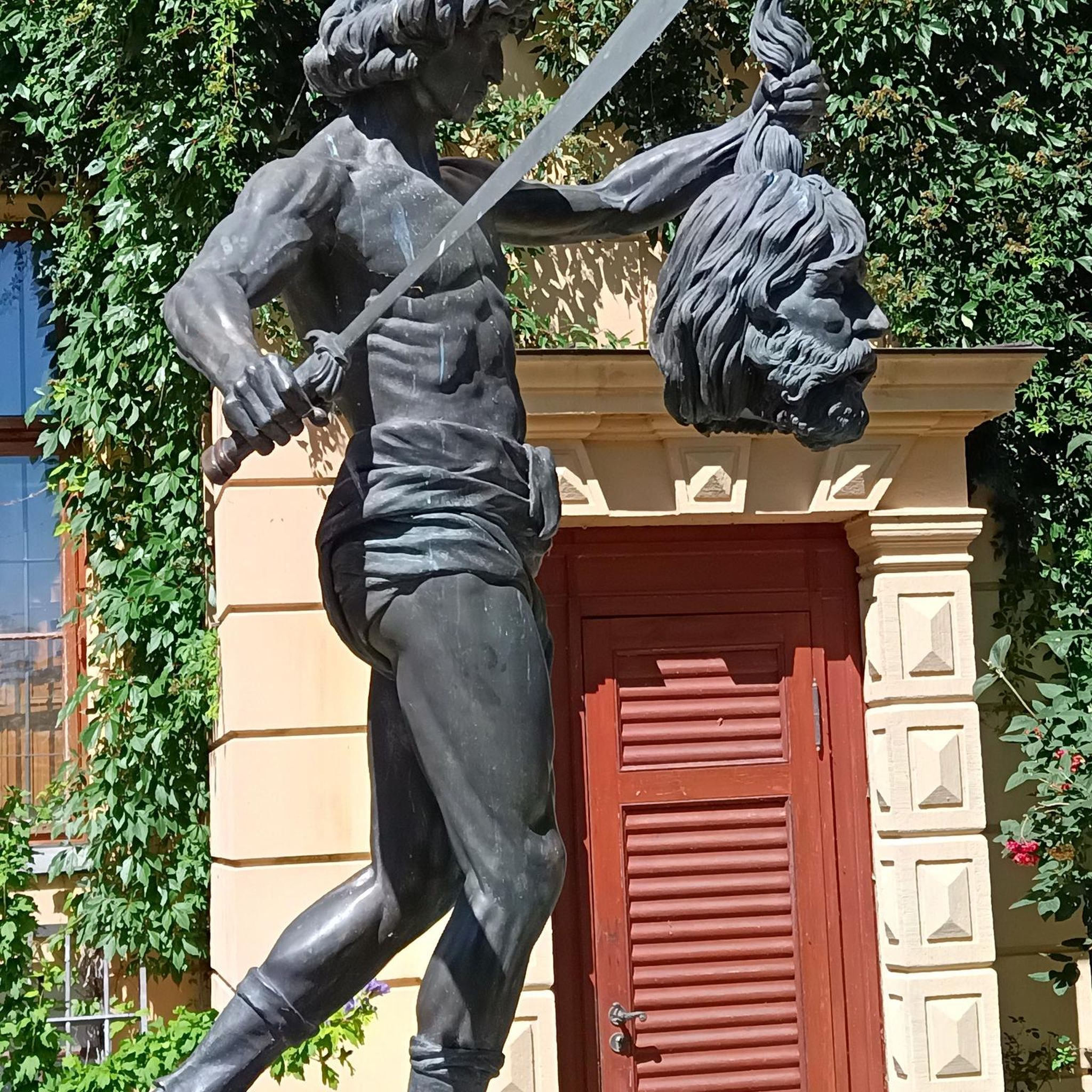
The square itself houses a statue of Joan of Arc, a tribute to the city's historical connection to this iconic figure. The Town Hall, with its rich history and stunning architecture, continues to captivate visitors, offering a glimpse into the past while remaining a vibrant part of Compiègne's present.
2
0
The architecture of the town hall is a true feast for the eyes. The central structure is dominated by a tall bell tower, flanked by two turrets connected by a decorative railing. This imposing façade, 47 meters high and 24 meters wide, is decorated with striking Gothic elements such as pinnacles and basket arches. The large niche now houses a high relief depicting the equestrian statue of Louis XII. It is an original creation from 1869 by the sculptor Henri-Alfred Jacquemart in the realistic style so prevalent at the time. However, contrary to the usual appearance of equestrian statues during the reign of Louis XII, Henri-Alfred Jacquemart chose not to build a horse walking "à l'amble," that is, with both straight legs raised simultaneously. On October 12, 1530, a clock was placed on the summit of the bell tower. From that time on, every quarter of an hour, she animated three wooden jaquemarts with bell hammers. The Compiègneis quickly gave them three nicknames corresponding to the enemies of the time: Langlois for the English, Flandrin for the Flemish, and Lansquenet for the Germans. Even today, they chant the life of the city by "punching the time," that is, by striking their hammer to strike the hours.
2
0

The Aisne is a river in northern France that rises in the Argonne massif and joins the Oise near Compiègne in the Oise department. The Aisne department is named after the river. The Romans already knew the river in ancient times as the Axona; in 57 BC, Caesar defeated a large Belgian coalition in the Battle of the Aisne during the Gallic War. Battles were also fought there during the First World War.
6
0
The Église Saint-Jean-Baptiste in Plessis-de-Roye is an exceptional example of reconstruction architecture with a deeply symbolic meaning. Originally built in the first half of the 15th century, the church was almost completely destroyed during the First World War. It was rebuilt between 1930 and 1932 by the architect André Collin, who deliberately chose to leave the nave unfinished. This gave the church the character of a small cloister — a powerful symbol of loss and remembrance of the devastation of war.
4
0


자주 묻는 질문
마르케글리즈 주변에는 자갈길 자전거 코스가 몇 개 있나요?
마르케글리즈 주변에는 여러 자갈길 자전거 코스가 있으며, komoot에는 3개의 고유한 코스가 있습니다. 이 코스들은 숲길 네트워크, 강 구간, 농장 길로 특징지어지는 우아즈 데파르트망을 통과하며 다양한 경험을 제공합니다.
마르케글리즈 근처 자갈길 자전거 코스의 지형은 어떤가요?
마르케글리즈 근처 자갈길 자전거 코스는 광범위한 숲길 네트워크, 우아즈 강 및 그 제방길을 따라 이어지는 구간, 농장 길 등 다양한 지형을 특징으로 합니다. 옛 채석장을 만날 수도 있습니다. 이 지역은 일반적으로 적당한 고도 변화를 보여 다양한 자갈길 자전거 경험에 적합합니다.
마르케글리즈 지역에 도전적인 자갈길 코스가 있나요?
나열된 코스들은 일반적으로 '보통' 난이도로 평가되지만, 숲길과 강 구간을 포함한 이 지역의 다양한 지형은 좋은 도전을 제공할 수 있습니다. 예를 들어, 쿠비이(Cuvilly) 출발 '세탁소 – 르 라부아르' 루프는 나열된 코스 중 가장 많은 고도 상승을 포함하여 더욱 힘든 라이딩을 제공합니다.
마르케글리즈 주변 자갈길 자전거를 위한 경치 좋은 코스가 있나요?
경치 좋은 전망을 원하시면, 롱괴이-아넬(Longueil-Annel) 출발 '보 몽 전망대 – 알레 데 보-몽' 루프를 고려해 보세요. 이 코스는 보 몽의 전망을 제공하며 다양한 풍경을 가로질러 그림 같은 자갈길 자전거 경험을 선사합니다.
자갈길 코스에 역사적 랜드마크나 관심 지점이 있나요?
네, 일부 코스는 흥미로운 장소를 지나갑니다. 예를 들어, 라 뇌빌-쉬르-레송(La Neuville-sur-Ressons) 출발 '프랑스 육군 AMX13 – 메리-라-바타유 묘지' 루프는 역사적 장소와 시골 풍경을 통과합니다. 또한, 근처 명소로는 르 캉 드 세자르와 브레네-쉬르-아롱드(Braisnes-sur-Aronde)의 생 에티엔 교회가 있습니다.
마르케글리즈의 자갈길에 대해 다른 자갈길 라이더들은 어떻게 말하나요?
마르케글리즈 주변의 자갈길 자전거 코스는 komoot 커뮤니티로부터 평균 4.0점의 높은 평가를 받고 있습니다. 사용자들은 광범위한 숲길, 강 구간, 농장 길을 포함한 다양한 지형을 자주 높이 평가하며, 이는 다양한 능력 수준에 맞는 옵션을 제공합니다.
순환 자갈길 코스가 있나요?
네, 마르케글리즈 주변의 모든 추천 자갈길 자전거 코스는 루프 형태로 설계되었습니다. 예를 들어 롱괴이-아넬(Longueil-Annel) 출발 '보 몽 전망대 – 알레 데 보-몽' 루프와 라 뇌빌-쉬르-레송(La Neuville-sur-Ressons) 출발 '프랑스 육군 AMX13 – 메리-라-바타유 묘지' 루프가 있으며, 이는 같은 지점에서 시작하고 끝낼 수 있도록 합니다.
이 지역에서 자갈길 자전거를 타는 데 걸리는 일반적인 시간은 얼마인가요?
마르케글리즈 주변의 자갈길 자전거 코스는 일반적으로 완료하는 데 약 2.5시간에서 3.5시간이 소요됩니다. 예를 들어, 롱괴이-아넬(Longueil-Annel) 출발 '보 몽 전망대 – 알레 데 보-몽' 루프는 약 2시간 34분이 소요되며, 라 뇌빌-쉬르-레송(La Neuville-sur-Ressons) 출발 '프랑스 육군 AMX13 – 메리-라-바타유 묘지' 루프는 약 2시간 57분이 소요됩니다.
주목할 만한 특정 자연적 특징이나 풍경이 있나요?
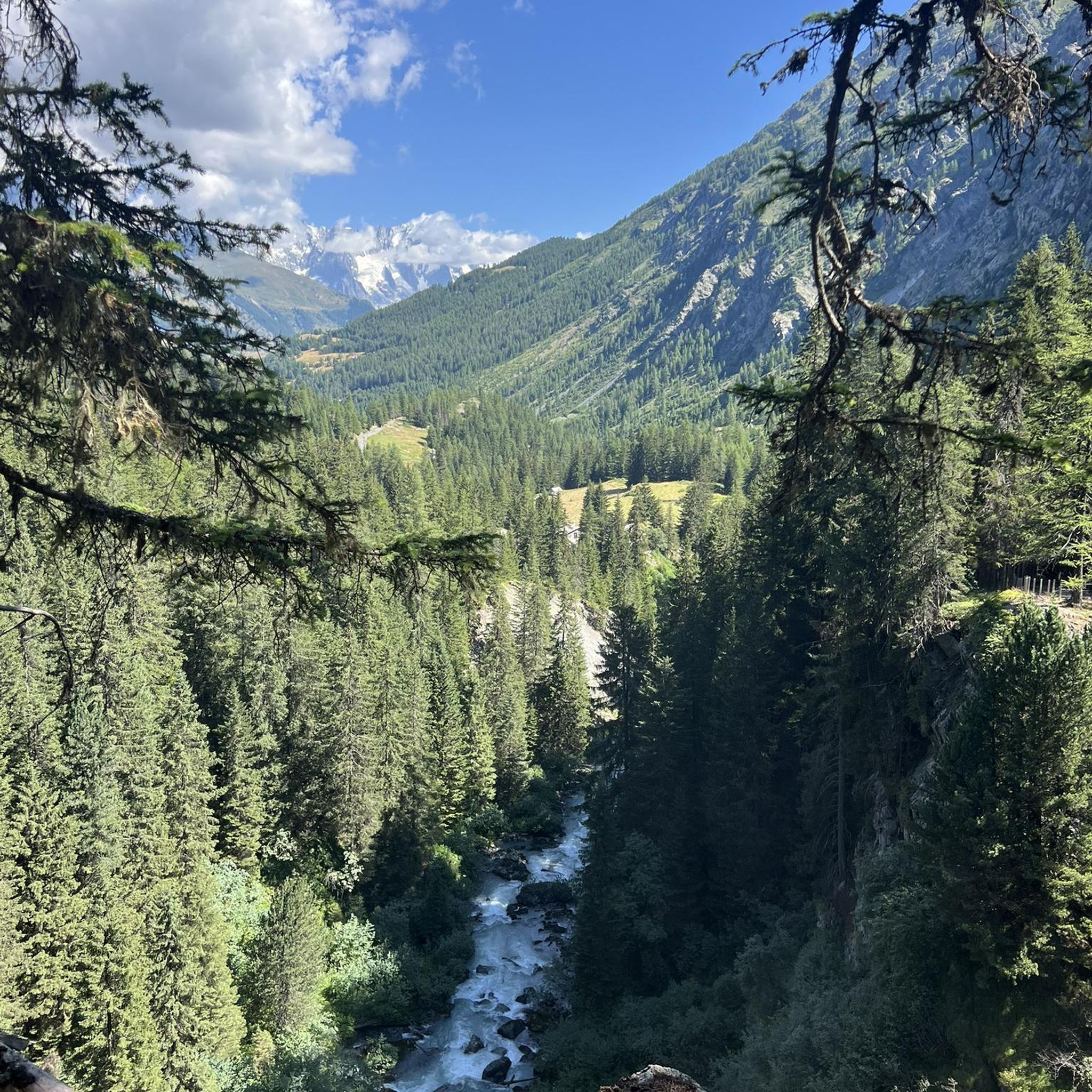
이 지역은 콩피에뉴 국유림(Forêt Domaniale de Compiègne)과의 근접성을 포함한 광범위한 숲길 네트워크가 특징이며, 수많은 비포장 도로와 숲길을 제공합니다. 또한 우아즈 강을 따라 이어지는 구간도 있어 즐거운 강변 라이딩을 즐길 수 있습니다. 두드러진 지형은 아니지만, 이 지역은 지질학적으로 '마르케글리즈의 마른'(Marnes de Marquéglise)이라는 퇴적암의 일종으로 알려져 있습니다.
마르케글리즈의 자갈길 근처에 카페나 레스토랑 같은 편의 시설이 있나요?
코스 바로 옆에 있는 특정 편의 시설은 자세히 나와 있지 않지만, 마르케글리즈와 주변 마을에는 재충전할 수 있는 현지 카페와 레스토랑이 있습니다. 라이딩 전에 운영 시간과 위치를 확인하려면 현지 정보를 확인하는 것이 좋습니다.
마르케글리즈 주변에서 자갈길 자전거를 타기 가장 좋은 계절은 언제인가요?
마르케글리즈가 위치한 우아즈 데파르트망은 다양한 계절에 즐거운 자갈길 자전거 라이딩을 제공합니다. 봄과 가을은 일반적으로 쾌적한 기온과 아름다운 풍경을 제공합니다. 여름은 특히 숲이 우거진 지역에서 좋을 수 있으며, 겨울 라이딩도 가능하지만 비포장 구간의 추운 날씨나 잠재적인 진흙탕 상태에 대비한 적절한 장비가 필요할 수 있습니다.
마르케글리제 주변에서 가장 인기 있는 명소


더 살펴보기
다른 지역의 최고의 그래블 라이딩를 살펴보세요.
