방카 주변 최고의 그래블 라이딩 코스
4.8
(11)
60
자전거 타는 사람
8
라이딩
방카 주변의 엄선된 그래블 라이딩 코스에서 거친 라이딩의 매력을 경험하세요. 도전정신을 자극하는 업힐 코스이든 아름다운 풍경 트레일이든, 방카 주변 최고의 그래블 라이딩 경로를 살펴보세요.
마지막 업데이트: 10월 7, 2026
4.0
(1)
13
자전거 타는 사람
37.3km
02:31
680m
680m
어려운 자갈길 타기. 우수한 체력 필요. 대부분 포장된 지면. 실력과 관계없이 누구나 갈 수 있음.
4.6
(5)
22
자전거 타는 사람
51.6km
04:00
1,320m
1,320m
어려운 자갈길 타기. 우수한 체력 필요. 대부분 포장된 지면. 실력과 관계없이 누구나 갈 수 있음.

5.0
(1)
7
자전거 타는 사람
60.4km
04:30
1,380m
1,380m
어려운 자갈길 타기. 우수한 체력 필요. 대부분 포장된 지면. 실력과 관계없이 누구나 갈 수 있음.
5.0
(2)
2
자전거 타는 사람
33.6km
02:42
940m
940m
어려운 자갈길 타기. 우수한 체력 필요. 투어 중 자전거를 끌고 가야 하는 구간이 있을 수 있음.
5.0
(1)
5
자전거 타는 사람
40.8km
02:49
720m
720m
어려운 자갈길 타기. 우수한 체력 필요. 대부분 포장된 지면. 실력과 관계없이 누구나 갈 수 있음.
더 다양한 경로와 다른 탐험가들의 추천을 살펴보세요.
이미 komoot 계정이 있나요?
투어 추천은 다른 사람들이 komoot에서 완료한 수천 개의 활동을 바탕으로 구성되어 있습니다.
오늘 무료 계정으로 시작하세요
다음 모험이 기다리고 있어요.



커뮤니티 팁

Roncesvalles에 도착하는 것은 유명한 순례자 숙소(albergue de peregrinos)에서 진짜 침대에서 자는 사치를 누리는 것을 의미했습니다. Saint-Jean-Pied-de-Port에서 스페인으로 이어지는 전설적인 Camino Francés의 첫 번째 구간의 끝을 알리는 이 인상적이고 잘 조직된 시설은 네덜란드 자원봉사자들에 의해 훌륭하게 운영됩니다. Roncesvalles 자체에는 식료품점이 없으므로, 필요한 5km 왕복 도보로 재고를 확보해야 했고, 앞으로 험난한 날들을 위해 5번의 아침 식사, 7번의 점심 식사, 5번의 저녁 식사를 위한 충분한 보급품으로 배낭을 채웠습니다.
2
0
피레네 산맥 기슭, 스페인 국경 쪽에 위치한 론세스바예스는 산티아고 순례길 전체에서 가장 상징적이고 역사적인 장소 중 하나입니다. 13세기 로열 콜레기아타 데 산타 마리아로 유명한 이 작은 마을은 수세기 동안 생장피에드포르에서 산길을 넘어온 지친 순례자와 하이커들을 맞이해 왔습니다. 풍부한 중세 역사와 롤랑의 노래와의 전설적인 연결 외에도, 론세스바예스는 오늘날 순례자 숙소, 따뜻한 식사, 그리고 휴식을 취하고, 성찰하며, 앞으로의 여정을 준비할 수 있는 깊은 분위기의 성역 등 여행객에게 필수적인 편의 시설을 제공합니다.
2
0

Orreaga-Roncesvalles는 캄포스텔라로 가는 길에 영웅들의 노래, 고대의 길, 지친 순례자들의 기억을 간직하고 있습니다. 왕들은 병원, 교회, 수도원, 예배당을 세웠고, 숙박업자들은 이방인을 환대하는 것을 신성하게 여겼으며, 그들의 성모에 대한 사랑, 그들의 형제애, 순례자들, 그리고 그들의 많은 십자가들이 있었습니다. 10세기부터 론세스바예스는 산티아고 데 캄포스텔라로 가는 순례길의 순례자들이 힘든 오르막길 후 쉴 수 있는 곳이었습니다. 산타 마리아 데 론세스바예스는 무엇보다도 영성과 순례의 장소입니다. 순례자 미사, 순례, 누에스트라 세뇨라 형제회. 해발 1057m의 론세스바예스 고개에 1130년 아우구스티노 수도사들이 콜레기아타 데 론세스바예스 수도원을 세웠습니다. 이미 778년에 이곳에서 샤를마뉴 대왕이 이끄는 프랑크족과 바스크족 사이에 전투가 벌어졌습니다. 이 전투에서 전사 롤랑이 전사했으며, 롤랑의 노래가 탄생했습니다.
0
0

It's the first road sign indicating the distance to Santiago. It's worth a photo.
0
0

Even if you don't plan or have the ability to walk the entire Camino Frances, the stage that reaches Roncesvalles is a must for the beauty of the landscapes and the evocative atmosphere it offers, especially when—descending from the Ibañeta Pass—the boundless Spanish landscape suddenly opens up before your eyes in the golden light of sunset. It's a magical moment, ideally shared with other pilgrims and then enhanced with a visit to the Collegiate Church. The stamp on the Credencial is also beautiful.
1
0

Don't miss a visit to the Pilgrims' Hospital and the Collegiate Church of Santa María. Also, learn about the history of Roncesvalles, as it's very interesting.
0
0

There is a restaurant upstairs (actually several, but only one was open in July)
0
0

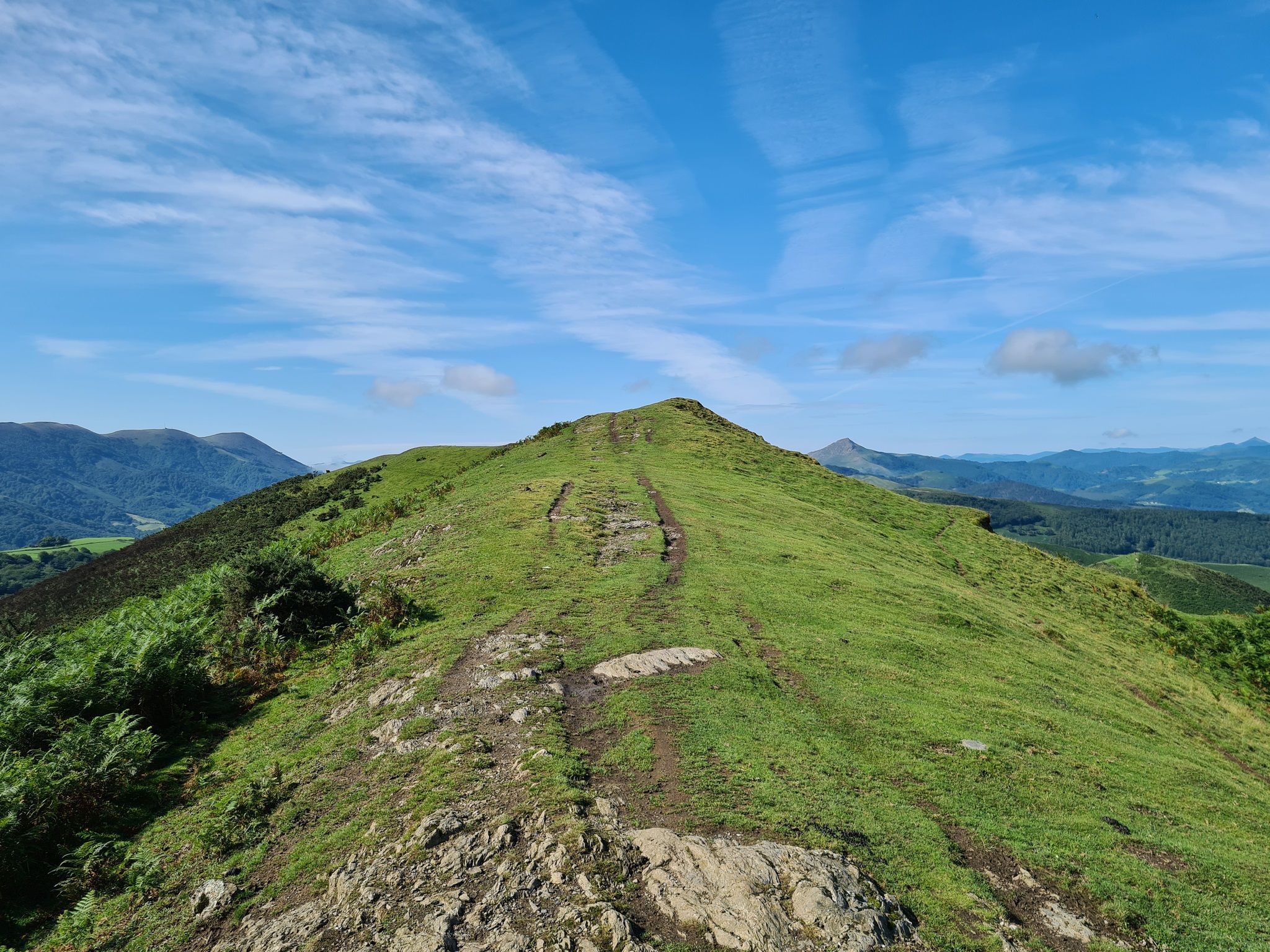
Walk from the Ispeguy pass, narrow path, best worn in hiking shoes, some scree slopes, magnificent view!
2
0
방카 주변에서 가장 인기 있는 명소


더 살펴보기
다른 지역의 최고의 그래블 라이딩를 살펴보세요.
