20의 클레어가지 명소 & 주요 장소
클레어에는 둘러볼 만한 장소가 많답니다. 하이킹 또는 사이클링을 좋아한다면 클레어에 숨겨진 20
가지 보석을 만날 수 있을 거예요. 이 지역의 주요 명소를 살펴보면서 다음 모험을 계획해보세요.
마지막 업데이트: 10월 10, 2026
클리프스 오브 모허 해안 트레일
하이라이트 (구간) • 트레일
번역자 Google •
팁에 의해


이런 장소를 발견하려면 지금 가입하세요
최고의 싱글 트랙, 봉우리 및 다양한 흥미로운 야외 장소에 대한 추천을 받아보세요.
버렌 국립공원의 석회암 테라스
하이라이트 • 자연 기념물
번역자 Google •
팁에 의해


클리프스 오브 모허의 오브라이언 타워 미니어처
하이라이트 • 기념물
번역문 보기
팁에 의해

모허 절벽 방문자 센터
하이라이트 • 휴식 공간
번역자 Google •
팁에 의해

러프 아발라 성수정과 래그 트리
하이라이트 • 종교적 장소
팁에 의해


두나고어 성
하이라이트 • 성
en.m.wikipedia.org/wiki/Doonagore_Castle
de.m.wikipedia.org/wiki/Doonagore_Castle
“… The castle is a private holiday home and not open to the public. …”
National Inventory of Architectural …
팁에 의해

무료로 가입하여 클레어의 더 많은 명소를 발견하세요.
이미 komoot 계정이 있나요?
오늘 무료 계정으로 시작하세요
다음 모험이 기다리고 있어요.
클레어 주변 인기 장소
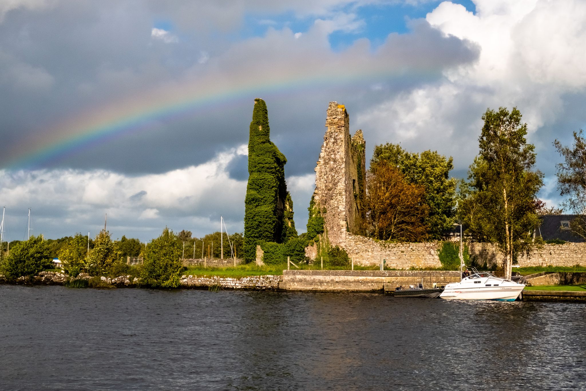
러프 더그 웨이
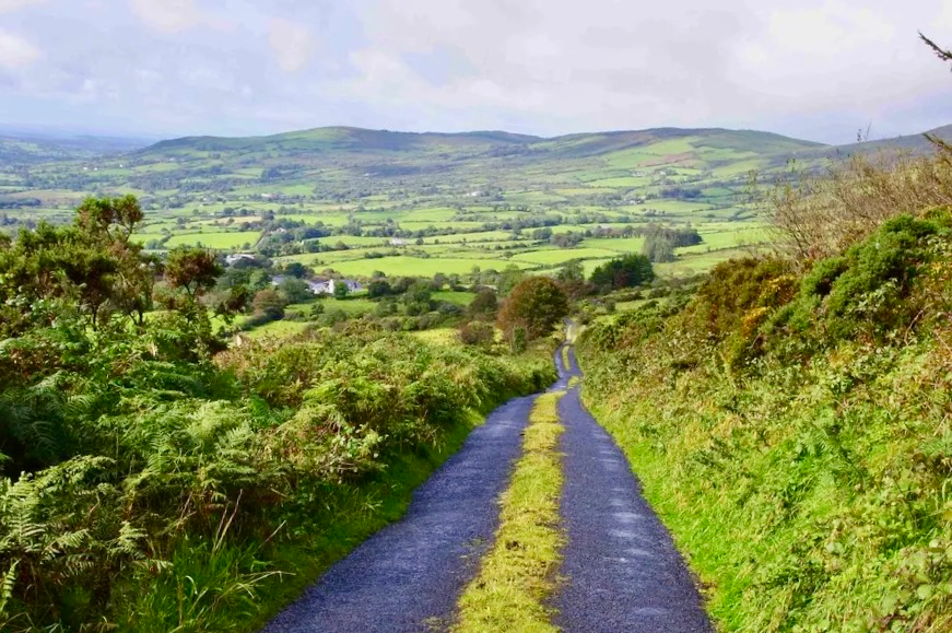
이스트 클레어 웨이 - 아일랜드의 숨겨진 심장부 탐험하기
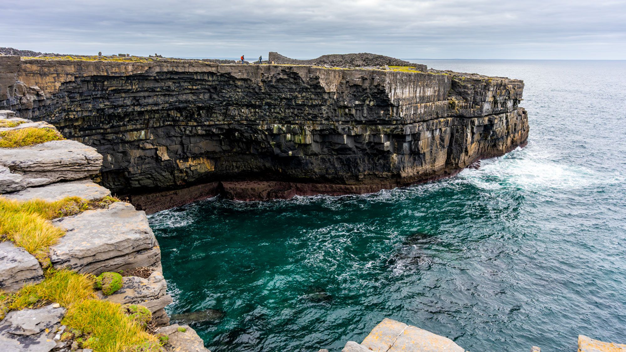
아란 제도
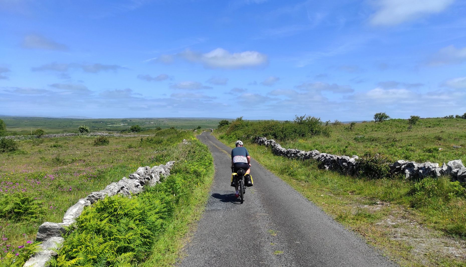
아일랜드의 험난한 놀이기구 - 클레어 그림 8
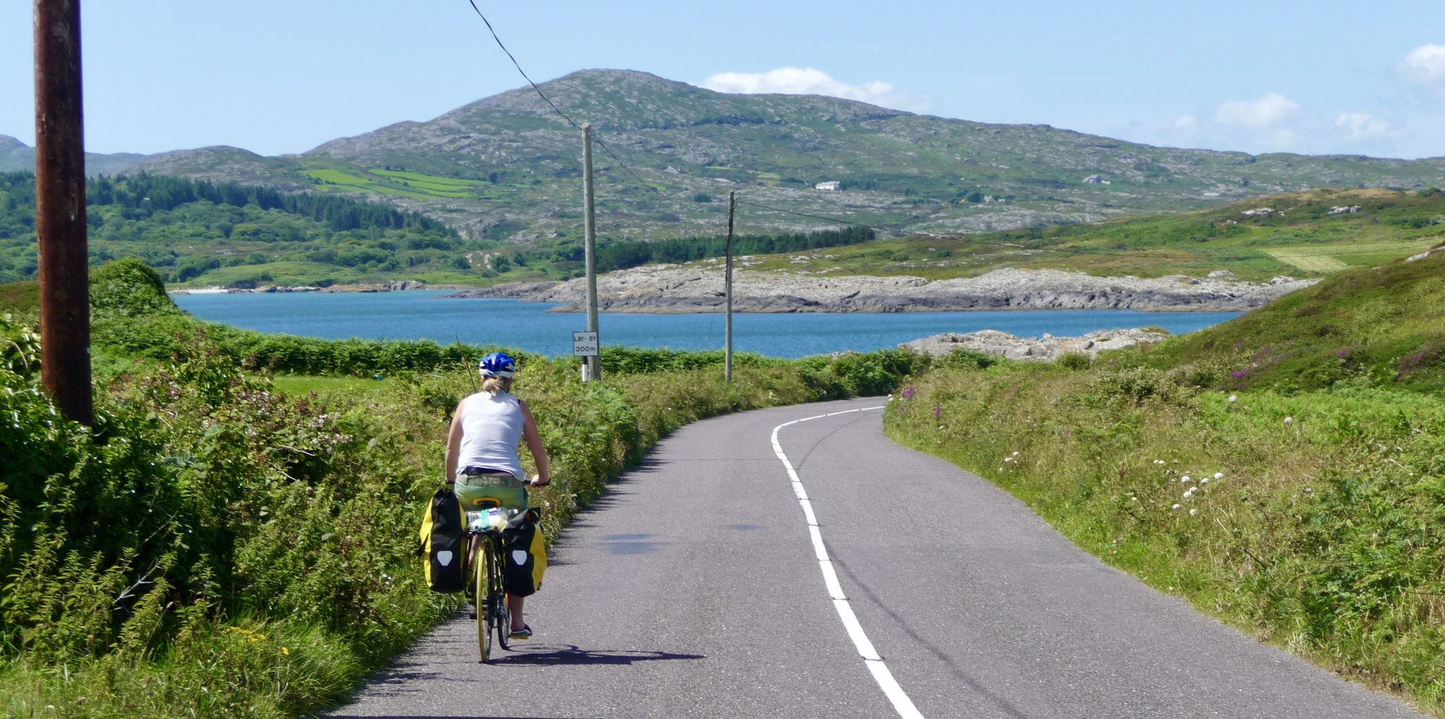
아이러랜의 아름다움을 발견하세요 - Mizen에서 Malin까지 끝에서 끝까지 자전거를 타세요
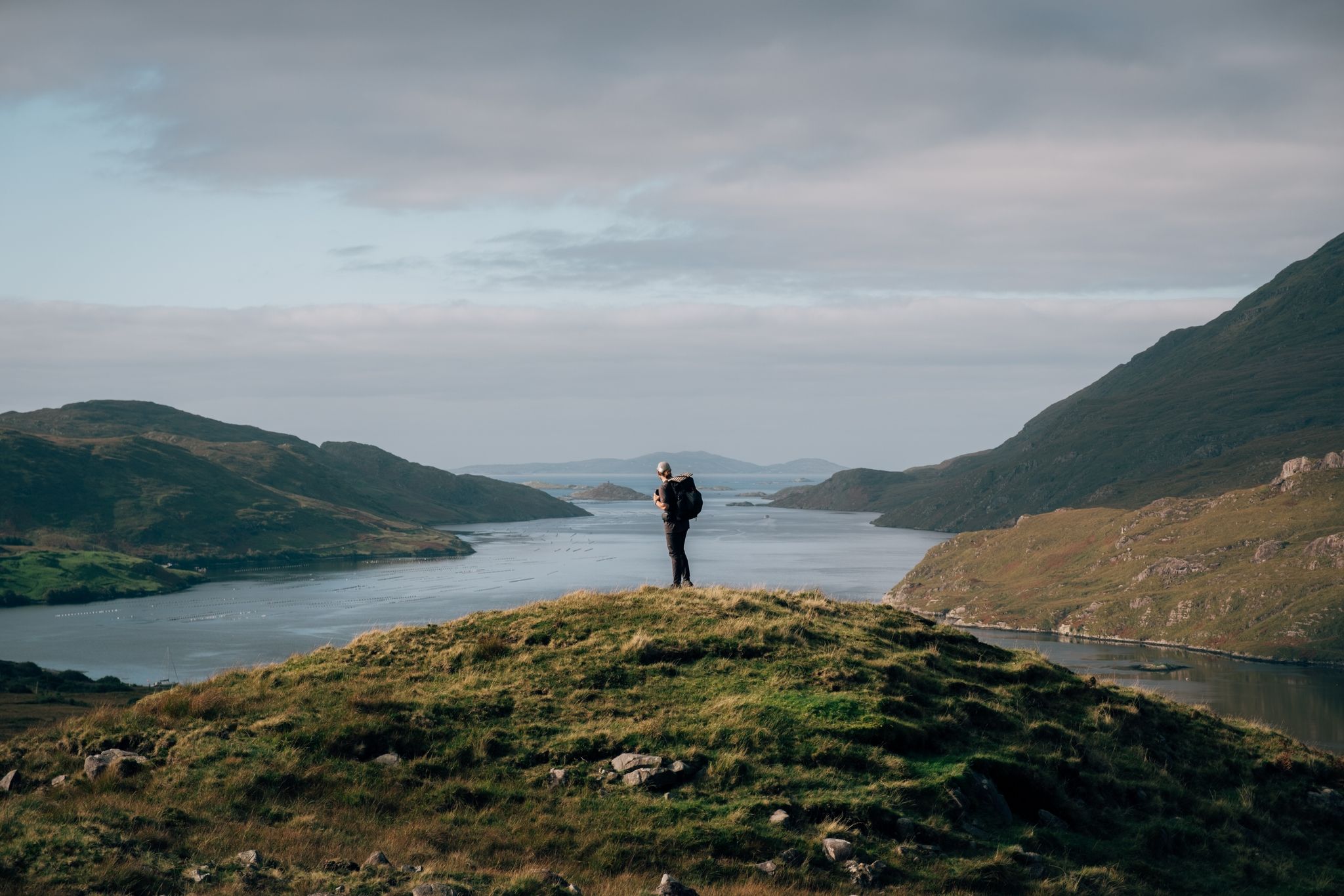
Wild and pristine – hiking along western Ireland’s cliffs & islands

물을 따라가세요 - 아일랜드의 강과 호수를 따라
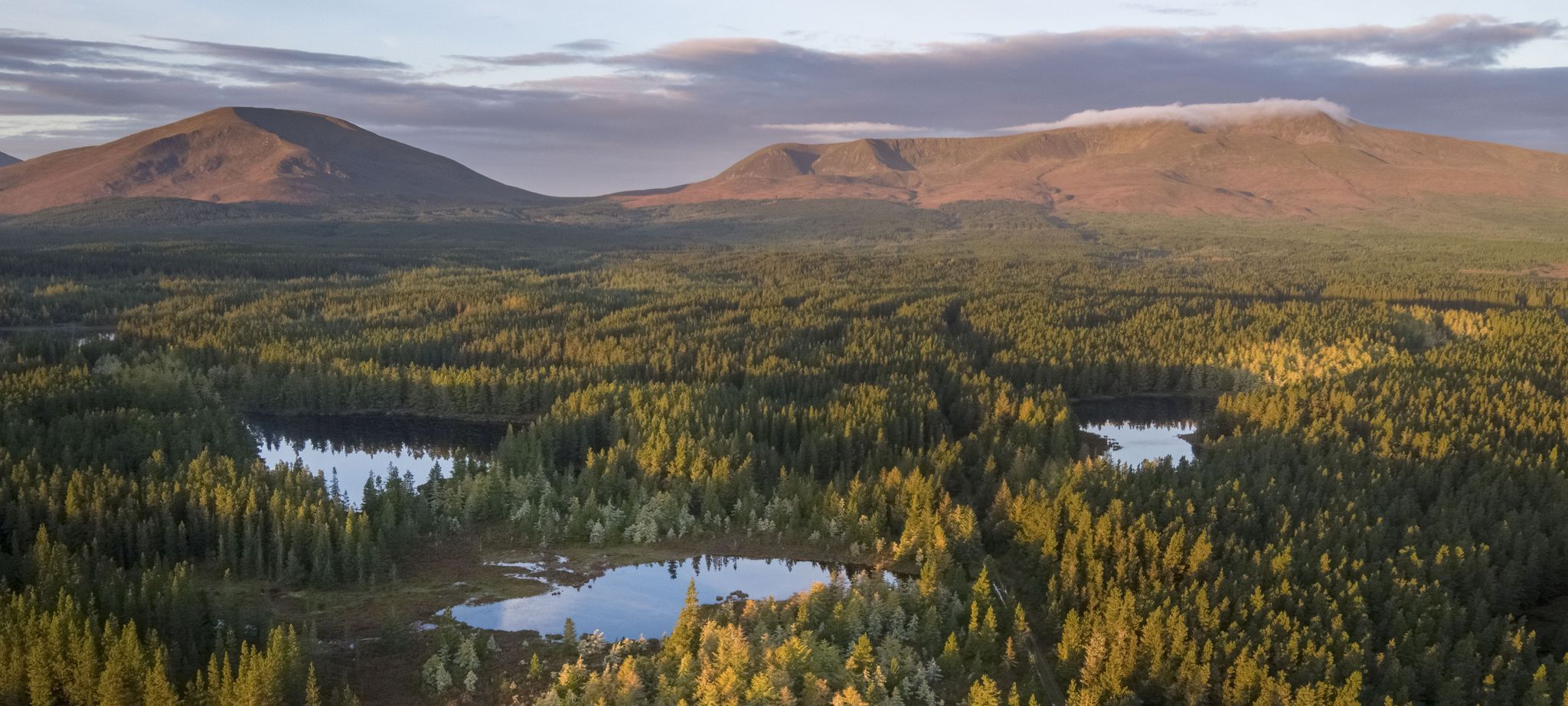
Discover Ireland's unspoilt nature in its national parks

Discover Ireland's past – historical walks on the Emerald Isle

Between waves and peaks — to the best views in Ireland
클레어의 다른 모험


커뮤니티 팁


모허 절벽(Cliffs of Moher)의 산책로를 따라 설치된 오브라이언 타워(O’Brien’s Tower)의 작은 돌 복제품입니다. 이 미니어처는 절벽 가장 가까이에 있으며 방문자 센터 주변의 중앙 고원 지대에서 알아보기 쉬운 지점을 형성하고 있으며, 조금 더 떨어진 곳에 있는 더 높은 절벽 부분과 메인 타워를 볼 수 있습니다.
6
0
절벽 가장자리를 따라 이어지는 해안선 도로로, 절벽 전체의 탁 트인 전망을 감상할 수 있습니다. 이 경로는 해안선의 자연스러운 윤곽을 따라 구불구불 이어지며 절벽 가장자리 가까이 지나가기 때문에 모허 절벽의 높이 차이와 수직 구조가 뚜렷하게 드러납니다. 이 도로는 Hag’s Head의 남쪽 끝과 Doolin의 북쪽 부분을 연결하는 주요 경로입니다.
5
0
1835년에 지어진 둥근 돌 전망대는 Cornelius O’Brien이 모허 절벽(Cliffs of Moher)의 가장 높은 지점에 세웠습니다. 이 탑은 대서양과 절벽의 남북선을 가로지르는 탁 트인 전망을 자랑하며, 절벽 가장자리를 따라 가장 알아볼 수 있는 장소 중 하나를 표시합니다.
7
0

Bunratty Castle은 아일랜드에서 가장 잘 보존된 중세 성 중 하나입니다. 15세기에 O'Brien 가문이 Shannon 강에 전략적 요새로 건설했습니다. 오늘날 이 성은 19세기 아일랜드 생활을 보여주는 야외 박물관인 Bunratty Folk Park의 일부입니다. 방문객들은 원래대로 꾸며진 방을 탐험하고 중세 연회에 참여할 수 있습니다. Shannon 강 근처에 위치하여 관광객들에게 인기 있는 목적지입니다.
4
0
Bunratty Castle is one of the best-preserved medieval castles in Ireland. It was built in 1425 by the MacNamara family. Today it is part of the Bunratty Folk Park open-air museum. Visitors can experience historic buildings, traditional Irish music, and medieval banquets. The castle is located near the River Shannon.
7
0
Well-integrated into the landscape, the Cliffs of Moher Visitor Centre boasts a comprehensive information desk, well-designed thematic and interactive exhibitions, shops, and a café. The site is the starting point for hiking trails to wilder corners, where you can observe guillemots, puffins, gulls, eels, and fulmars with binoculars. To the west, the path to Hags Head★★ offers a striking view of this series of towering walls, on which visitors look like ants. Continuing north, you pass O'Brien's Tower to continue this coastal section of the Burren Way***.
4
0

클레어에서 가장 인기 있는 명소


찾고 계신 것을 찾지 못하셨나요?
근처의 멋진 장소를 더 탐험하고 싶으신가요? 우리의 가이드를 살펴보세요:
