살레-올라-크라이스 주변 최고의 폭포 하이킹 & 워킹 코스
4.6
(15513)
47,921
등산객
23
하이킹
살레-올라-크라이스의 엄선된 폭포 하이킹과 워킹 코스를 통해 경이로운 자연을 경험하세요. 시원하게 떨어지며 장관을 이루는 폭포부터 조용히 흘러가는 귀여운 시냇물까지, 폭포가 있는 살레-올라-크라이스 최고의 하이킹 트레일을 살펴보세요.
마지막 업데이트: 10월 26, 2026
4.6
(14)
39
등산객
5.13km
01:24
80m
80m
초급용 하이킹. 쉽게 걸을 수 있는 길.
4.2
(10)
26
등산객
10.5km
02:50
140m
140m
보통 하이킹. 좋은 체력 필요. 쉽게 걸을 수 있는 길.

4.7
(3)
15
등산객
13.8km
03:42
170m
170m
보통 하이킹. 좋은 체력 필요. 쉽게 걸을 수 있는 길.
4.4
(35)
96
등산객
5.89km
01:36
90m
90m
초급용 하이킹. 쉽게 걸을 수 있는 길.
4.8
(5)
19
등산객
8.41km
02:17
120m
120m
보통 하이킹. 좋은 체력 필요. 쉽게 걸을 수 있는 길.
더 다양한 경로와 다른 탐험가들의 추천을 살펴보세요.
이미 komoot 계정이 있나요?
투어 추천은 다른 사람들이 komoot에서 완료한 수천 개의 활동을 바탕으로 구성되어 있습니다.
오늘 무료 계정으로 시작하세요
다음 모험이 기다리고 있어요.
살레-올라-크라이스 주변 인기 장소
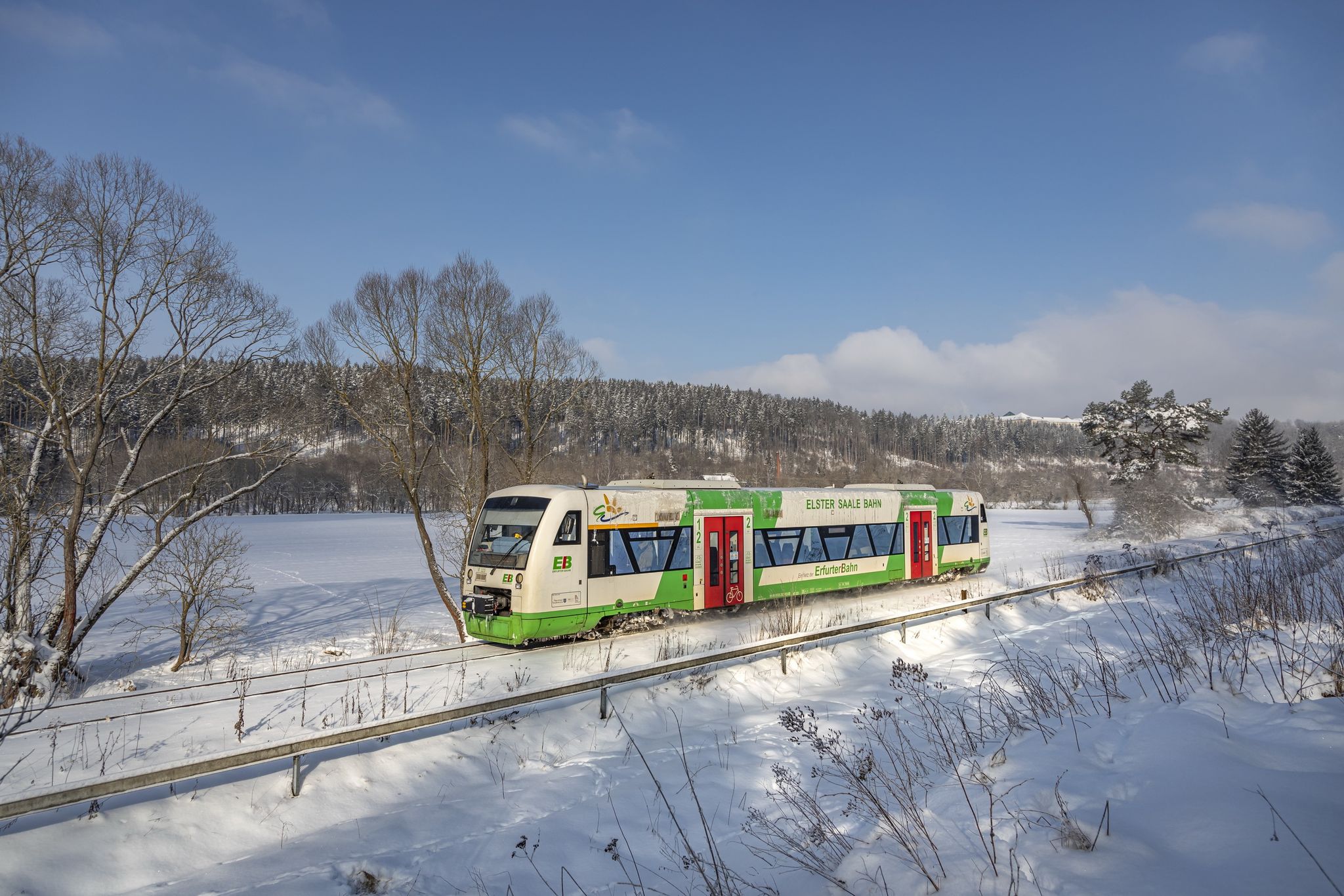
Discover Thuringia – winter hiking with the Erfurter Bahn
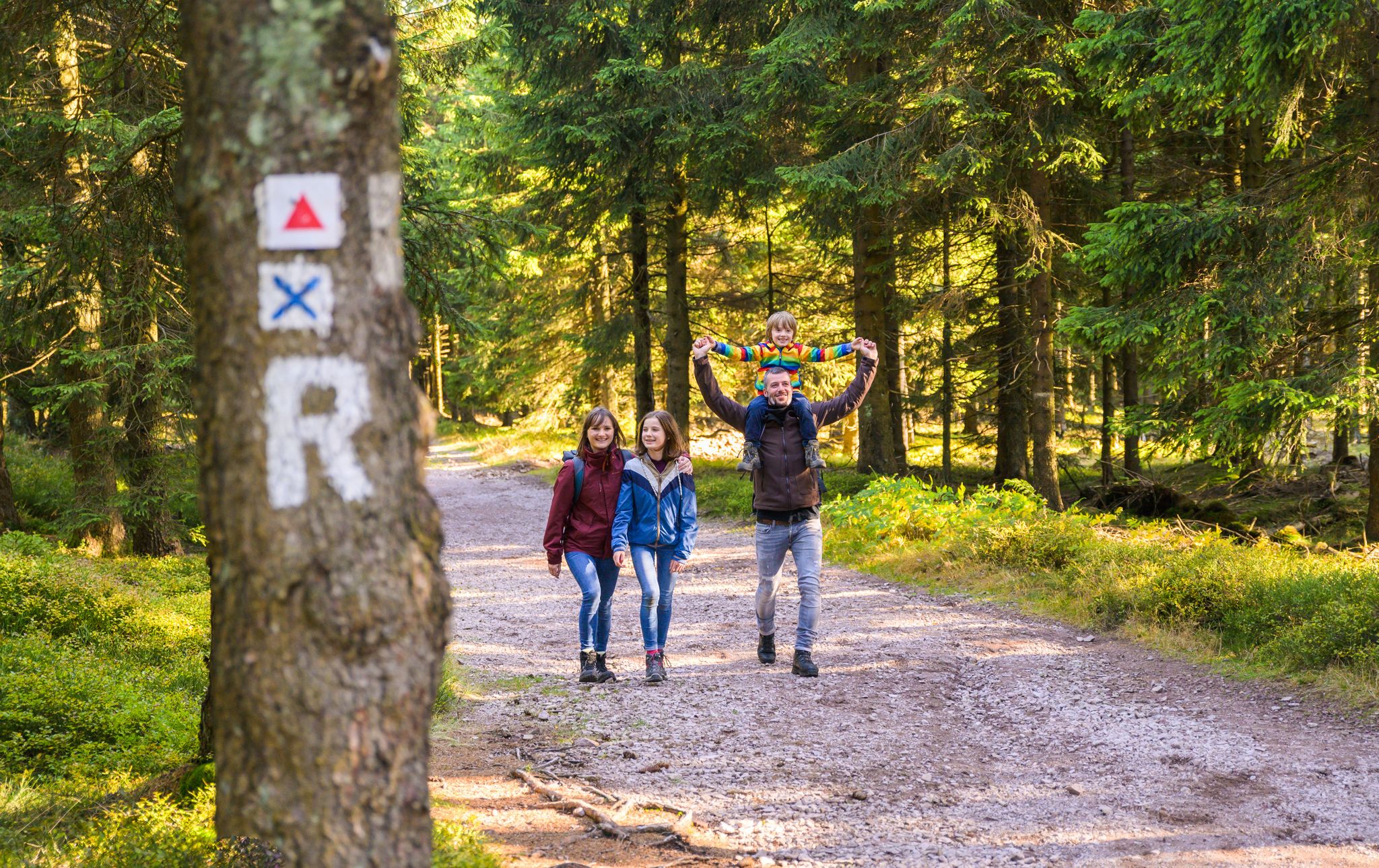
Play, nature and good fun – family hikes in the Thuringian Forest
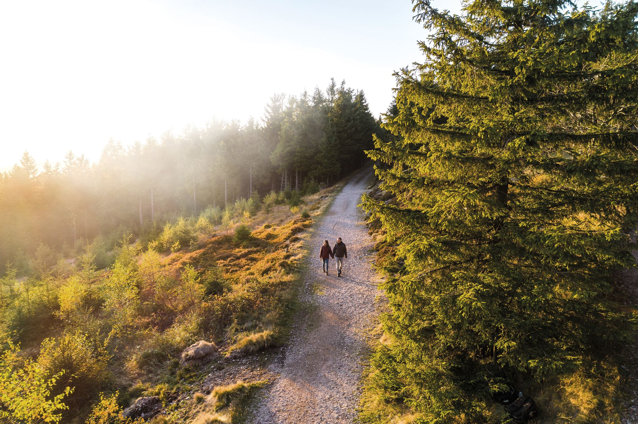
Outdoor time – hikes to help you unwind in Thuringia
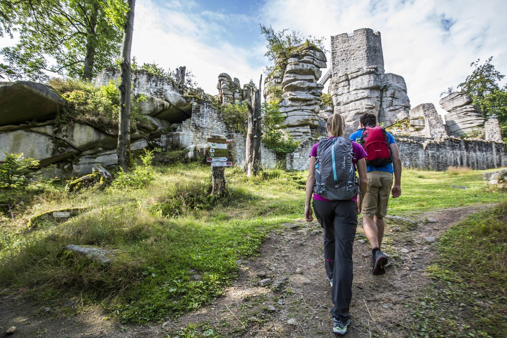
Thousands of kilometres of hiking fun – long-distance hiking trails in Bavaria
역사가 자연을 만나다 – 에르츠게비르게-포그틀란트 산악 등산로
아름다운 녹색 띠
트리를아이 마스타일 오르
Long distance hiking trails in the Thuringian Forest
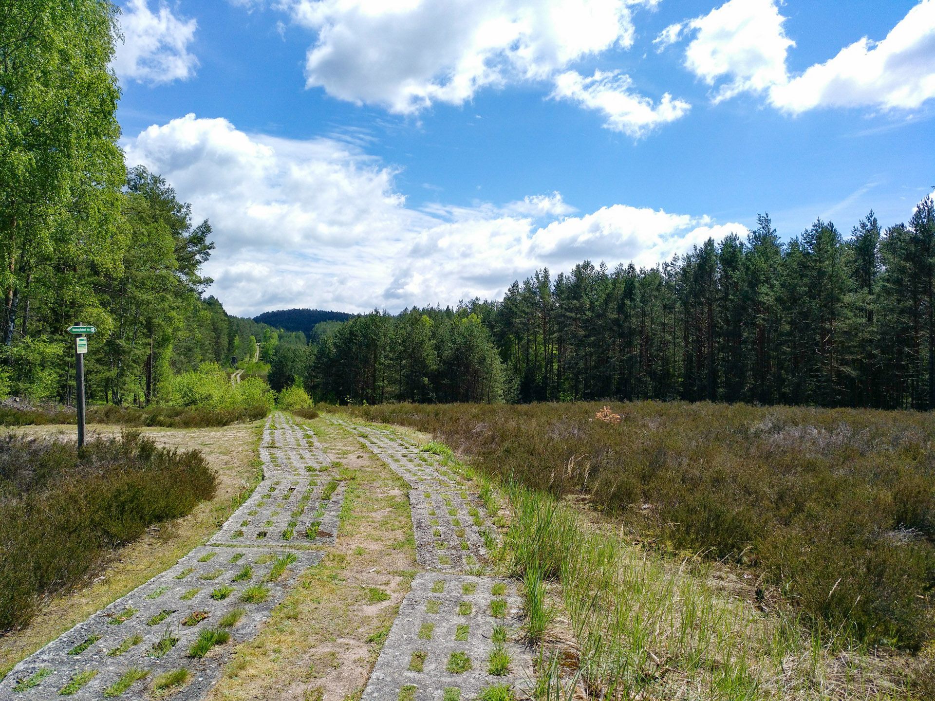
Discover the Green Belt in Germany’s Thuringian Slate Mountains with BUND
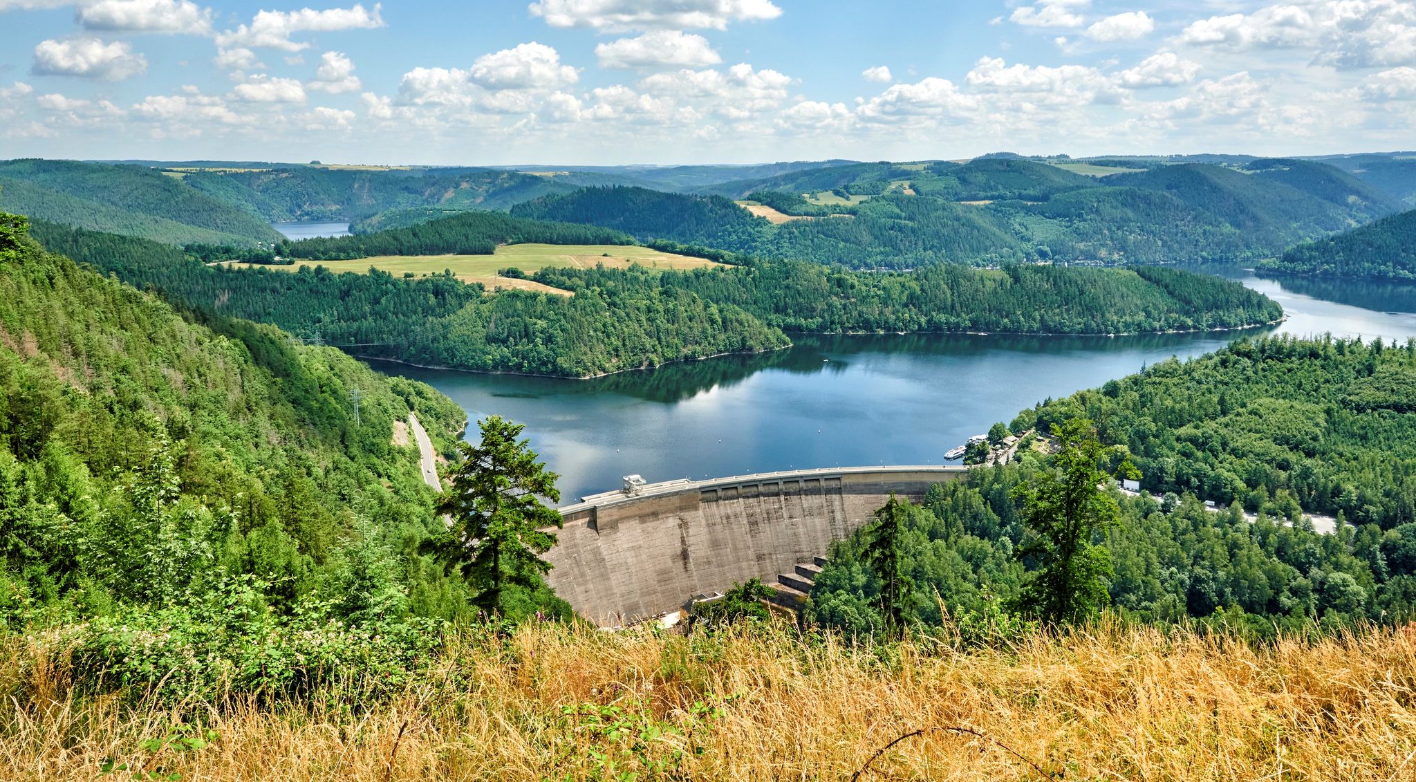
At home in the outdoors – hiking with a view in Thuringia in central Germany
살레-올라-크라이스의 다른 모험


커뮤니티 팁

A hall church with a polygonal west end. A square east tower with a slated, curved dome and closed lantern. Inside, a floating baptismal font from the 18th century.
0
0
A hall church with a polygonal west end. A square east tower with a curved dome and closed lantern. A baptismal angel hovers inside.
0
0

Coming from Hermsdorf, this is essentially the last mill in the Zeitzgrund region. Abandoned, dilapidated. It's probably been there since 1989 and is now a refuge for birds, bats, and other wildlife. Video surveillance. A warning is issued against entry.
1
0

The monastery was the house monastery and burial place of the Lords of Lobdeburg, the founding family.
18
0

겨우살이가 많이 자란 이 나무는 휴식 공간에 특별한 매력을 더해줍니다. 여기에 Markersdorf의 아름다운 전망까지 더해져 더욱 좋습니다.
0
0

A narrow and romantic path leads through the Nossengrund, past the Amselfall and into the Zeitzgrund.
0
0
The present hall church was built on a chapel in 1755.
0
0
Easy to miss 😅 The orchid meadow is located very close to the waterfall.
6
0


