브라운발트에서 가장 멋진 20개의 산길
브라운발트에서 가장 멋진 산길을 아래에서 살펴보세요. 풍경을 감상하기에도 좋고, 오르막길/내리막길을 따라 걷기에도 좋은 곳이랍니다. 커뮤니티가 특별 도움을 통해 공유한 콘텐츠인 만큼 믿을 수 있는 정보이니 마음에 드는 산길이 있다면 바로 다음 모험 계획에 추가해서 바로 방문해보세요.
마지막 업데이트: 9월 2, 2026


이런 장소를 발견하려면 지금 가입하세요
최고의 싱글 트랙, 봉우리 및 다양한 흥미로운 야외 장소에 대한 추천을 받아보세요.
무료 회원 가입

글라루스–우리 경계석
하이라이트 • 기념물
The most important basis for reconstructing historical traffic routes in Switzerland is the Siegfried map, which has been published in countless (new) editions since 1870. The surprise …
번역자 Google •
팁에 의해

오르트슈톡의 푸르겔레 고개
하이라이트 • 산악 고개
번역자 Google •
팁에 의해

무료로 가입하여 브라운발트 주변의 더 많은 산악 고개를 발견하세요.
무료 회원 가입
이미 komoot 계정이 있나요?
오늘 무료 계정으로 시작하세요
다음 모험이 기다리고 있어요.
로그인 또는 가입하기

커뮤니티 팁

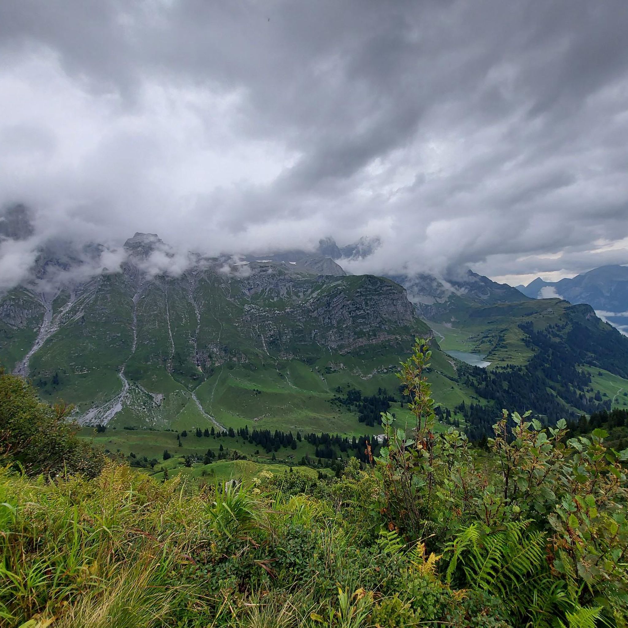
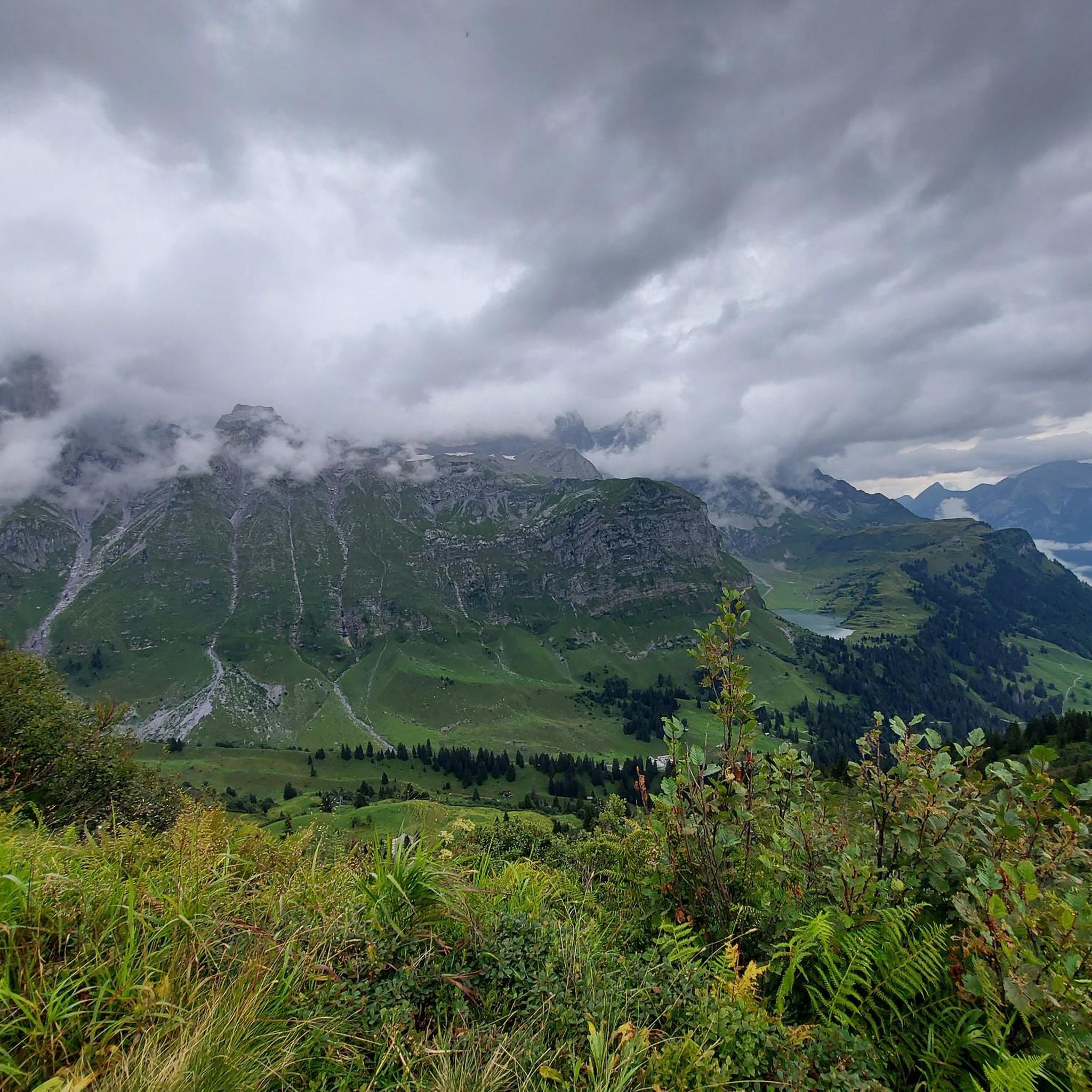
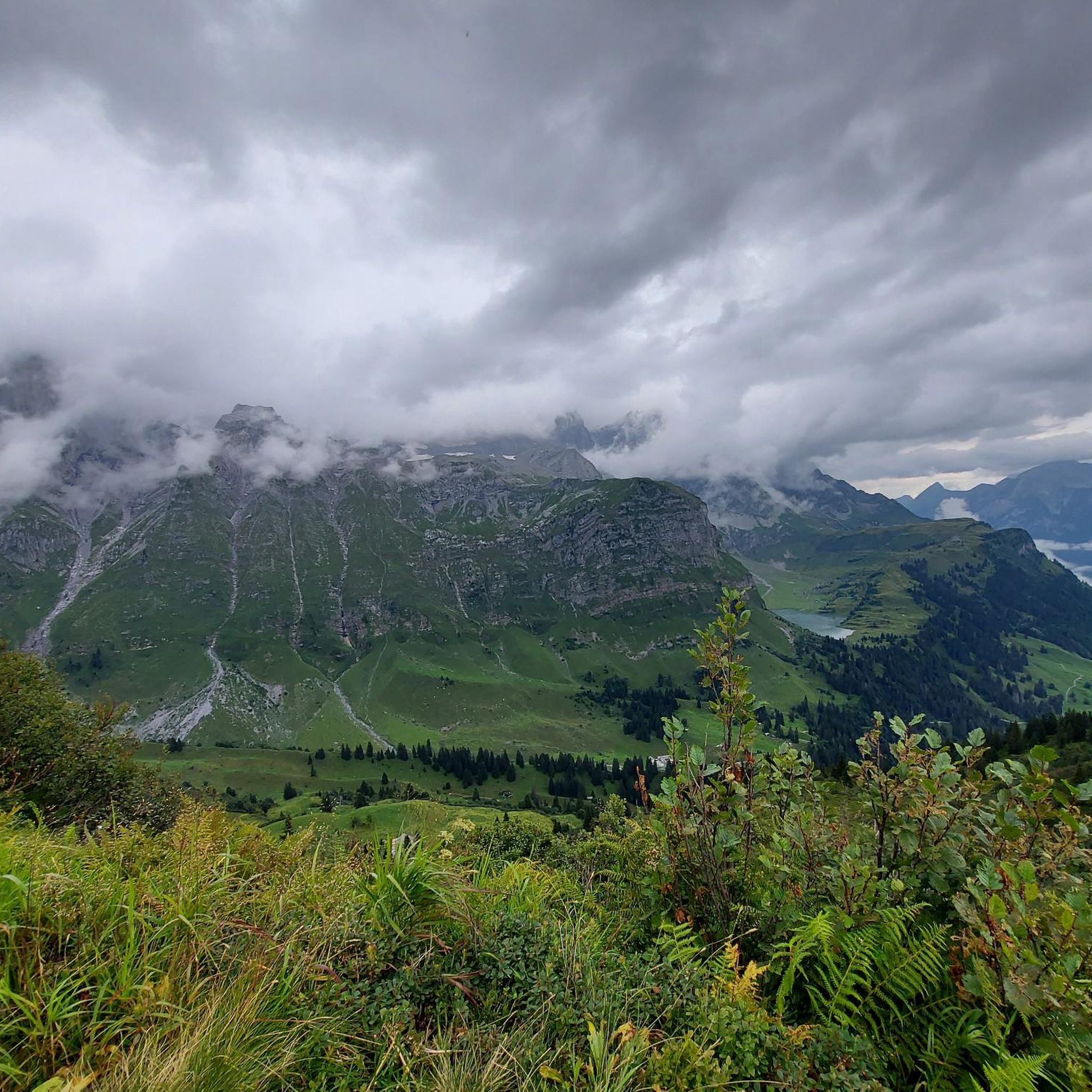
The Richetli Pass is a wonderful pass between Linthal and Elm. The Linthal side is significantly steeper than the Elm side. Coming from Linthal, you'll have your first glimpse of the Glarus Thrust here, before admiring the entire spectacle from the Wichlenmatt.
0
0

The Richetli Pass (2,261 m above sea level) is a high mountain pass in the Glarus Alps and connects the towns of Linthal and Elm in the canton of Glarus. The pass lies between the valley of the Linth River and the valley of its tributary, the Sernf. The Richetli Pass is the lowest point between the Hausstock and Kärpf peaks. Source: https://share.google/5uPMLWragfRQhSfx8
1
0

Great view, several benches to sit and enjoy. I would definitely climb through the forest myself instead of taking the gondola – it's so much more beautiful up there...and the path through the forest is really beautiful.
1
0

The path from Lauchboden to the top of the pass is partly covered with large areas of rubble and snow fields. The line is not visible/present from the upper half. It is very steep but doable. You should be particularly careful on the descent.
0
0

The trail that A. Villiger means is "Grenzstei S1 - S2 Trail" and is no more difficult than S2 :-)
1
0

From Vorder Stafel/Hinter Stafel a hiking trail leads down to the pass road and ends at the boundary stone. The path is difficult for MTB (S2 and S3). PS: to the boundary stone: the people of Uri simply wanted the big alp for themselves.
1
0

Delightful experience coming from the west side. Almost half of the distance in the double-digit percentage range, between 18 and 22... terrific. A great round trip together with the Klausen Pass.
1
0

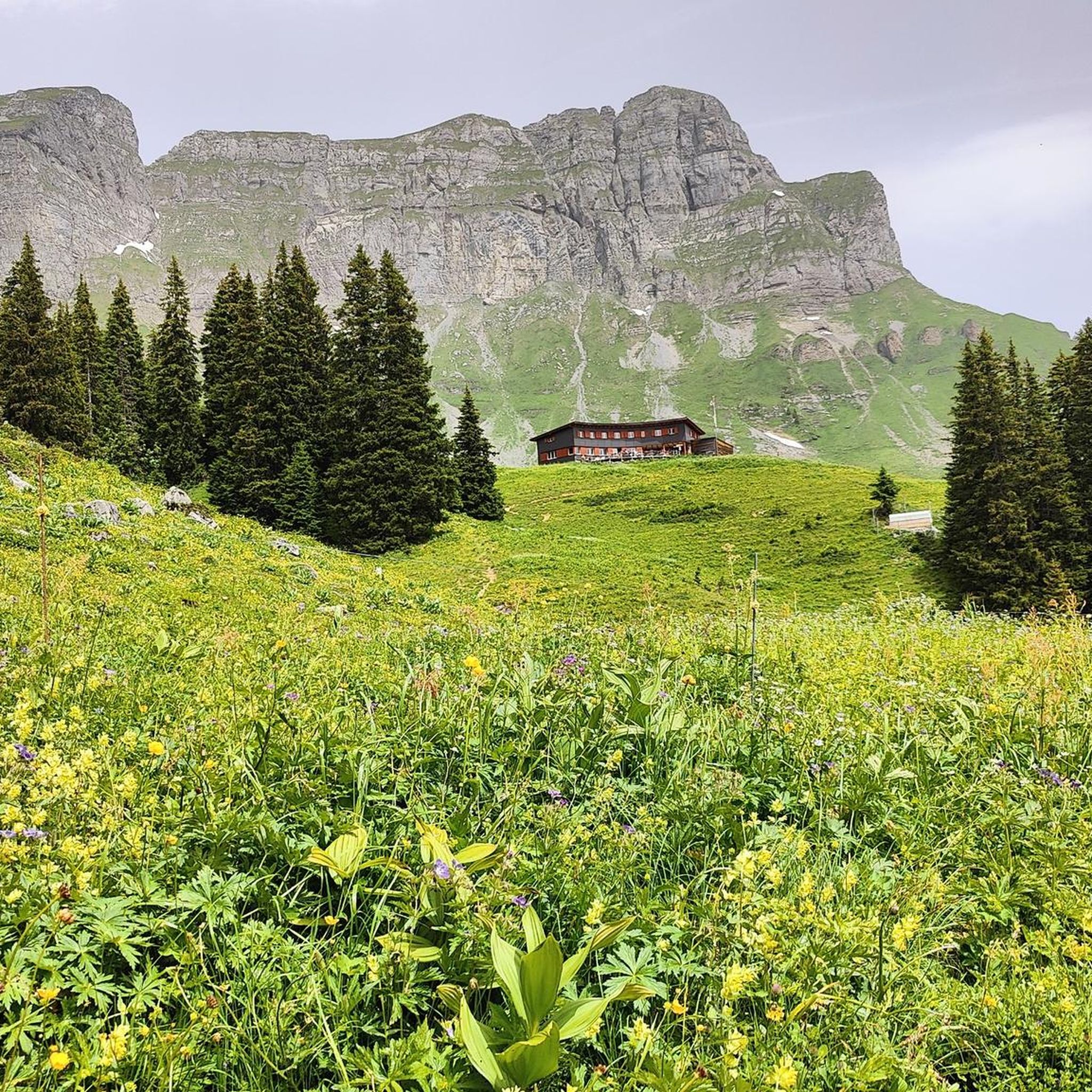
Fisetenpass 2023 m The Fisetenpass is a mountain pass in the municipality of Spiringen (Urnerboden exclave) in the canton of Uri. Its pass is at an altitude of 2036 meters above sea level between the Gemsfairenstock (2971m) in the southwest and the Fisetengrat or the Chamerstock (2123m) in the east. The easiest way to reach the pass is to take the mountain cable car from Urnerboden to the Fisetengrat mountain station and from there in a few minutes to the top of the pass. You hike over the pass from the Urnerboden to the Fiseten area and on to the Claridenhütte and Tierfehd. The specified hiking time from the Fisetenpass to the Claridenhütte is 2h40min, down to Linthal 4h55min and also down the valley to the Urnerboden 3h10min. In a four-hour mountain hike from the top of the pass you can also reach the Klausen Pass (Clariden high-altitude trail). Text / source: Fuorcla.ch https://fuorcla.ch/fisetenpass/
14
0


