자모라에서 가장 멋진 9개의 산 정상
자모라의 산 정상에 오르면 이 지역의 아름다운 모습을 제대로 구경할 수 있어요. 다만, 9
곳이나 되는 산 정상 중에서 어떤 곳을 가야 할 지 고민된다는 게 문제죠. 자모라에서 가장 멋진 산 정상을 살펴본 후에 마음에 드는 산 정상을 다음 모험 계획에 추가해보세요.
마지막 업데이트: 10월 17, 2026
페냐 트레빈카 정상
하이라이트 • 정상
번역자 Google •
팁에 의해

크루스 다 포르텔라
하이라이트 • 정상
번역자 Google •
팁에 의해
이런 장소를 발견하려면 지금 가입하세요
최고의 싱글 트랙, 봉우리 및 다양한 흥미로운 야외 장소에 대한 추천을 받아보세요.
Peña Mira 정상
하이라이트 • 정상
번역자 Google •
팁에 의해

Teso Santo의 풍력 터빈
하이라이트 • 기념물
번역자 Google •
팁에 의해


Las Suertas
하이라이트 • 전망대
번역자 Google •
팁에 의해
카르푸리아스 산맥 능선
하이라이트 (구간) • 정상
번역자 Google •
팁에 의해
페냐 베네이타 암각화
하이라이트 • 역사적 장소
번역자 Google •
팁에 의해
라스 수에르타스에서 바라본 에리아강과 오르비고강의 베가 전망
하이라이트 • 전망대
번역자 Google •
팁에 의해
오늘 무료 계정으로 시작하세요
다음 모험이 기다리고 있어요.
자모라 주변 인기 장소
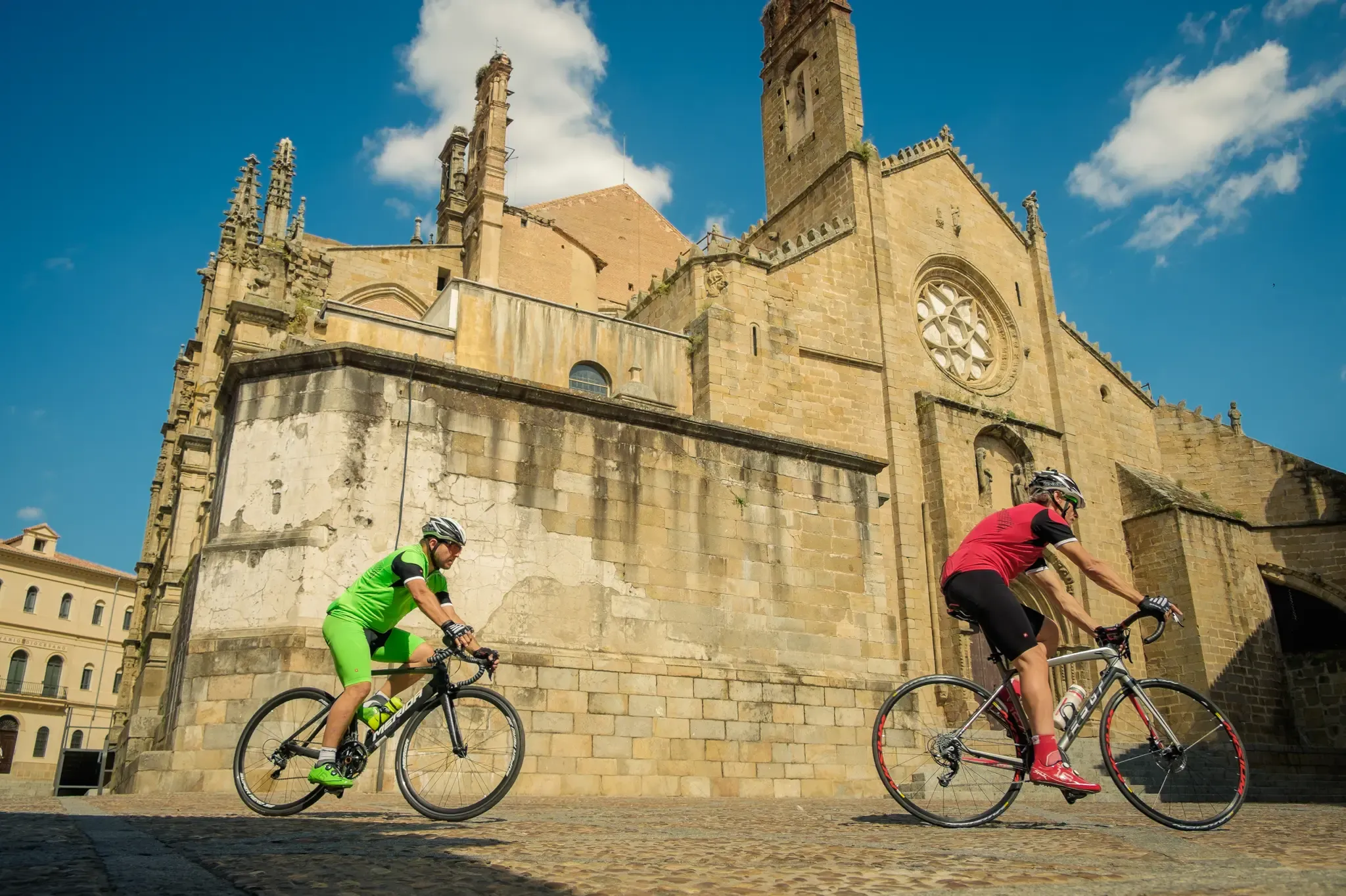
라 루타 데 라 플라타
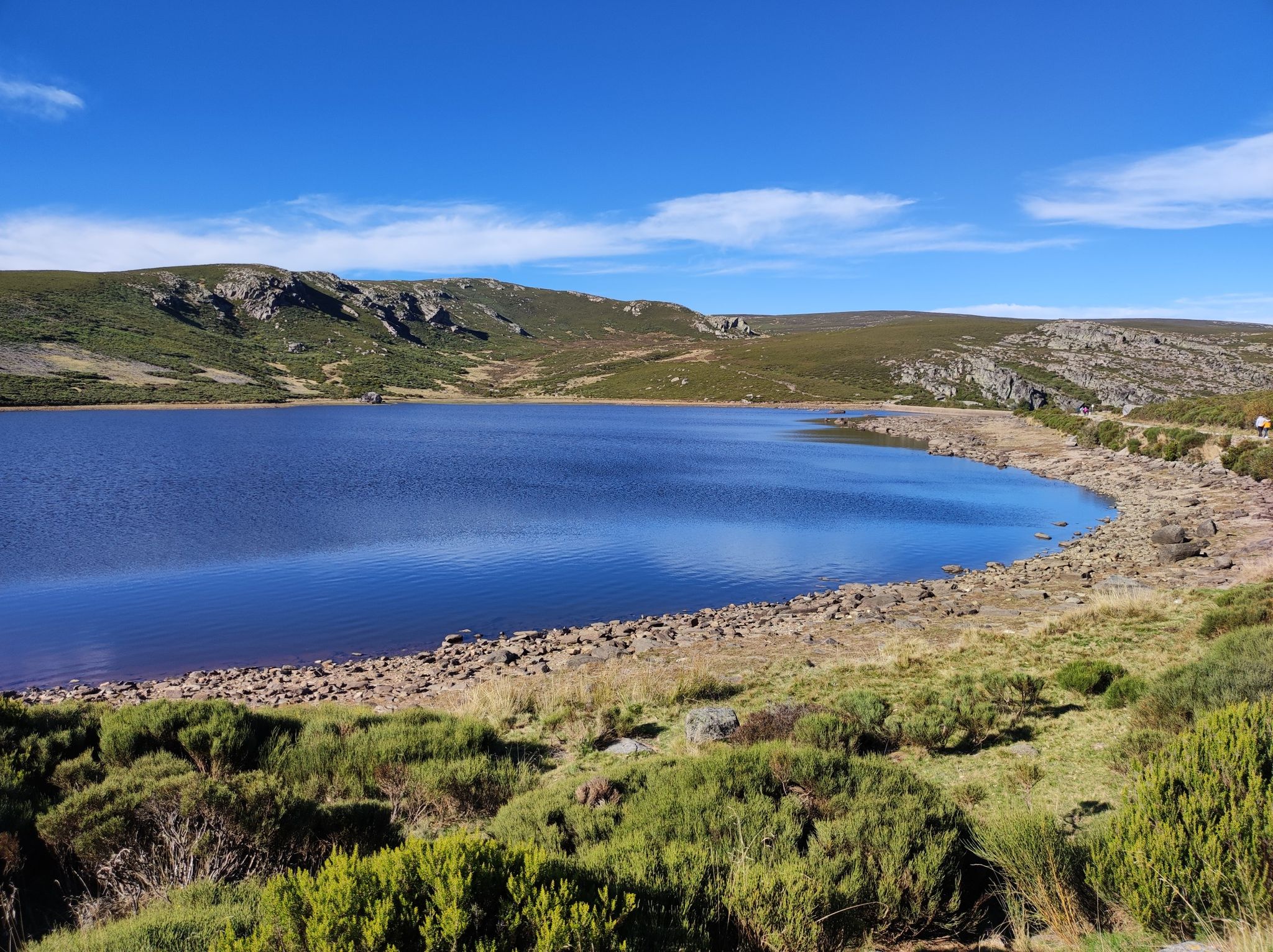
빙하 호수와 영원한 산 - 산브리아 산 (GR 84)
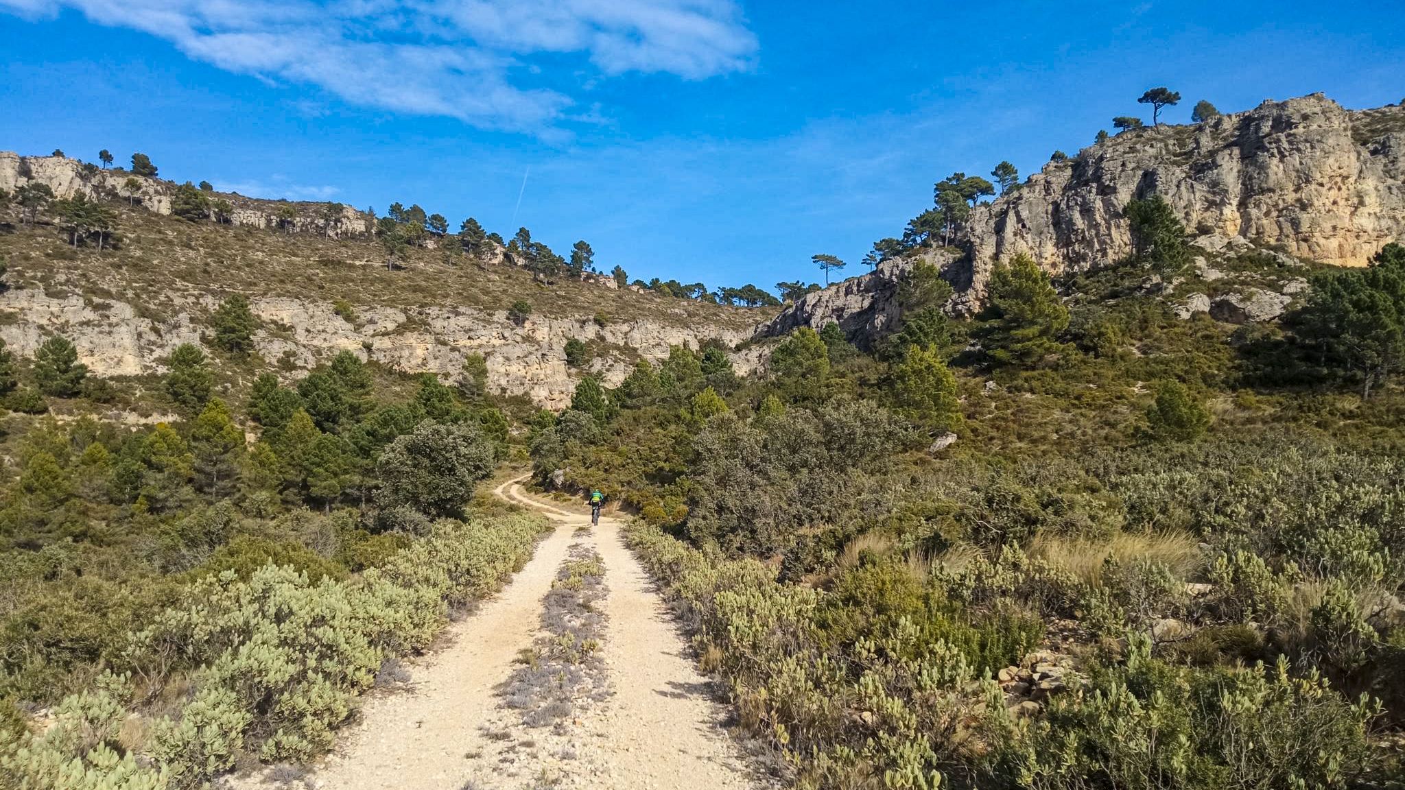
10 gravel routes to discover hidden gems in Spain
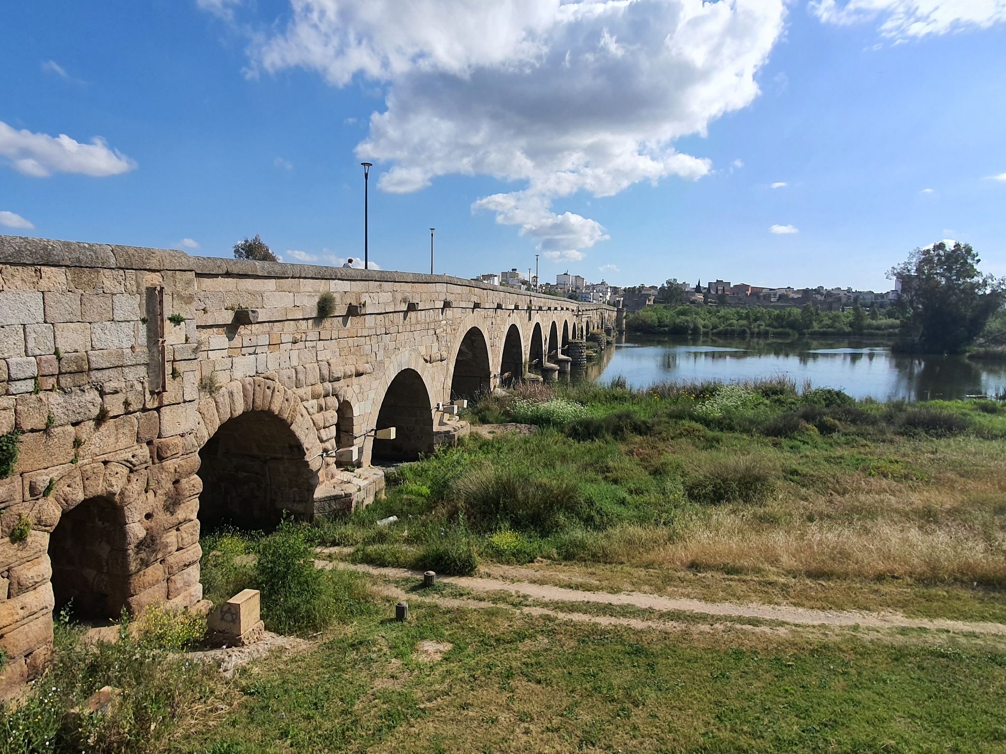
스페인 히호ん에서 세비야까지 – 비아 데 라 플라타 (GR 100)
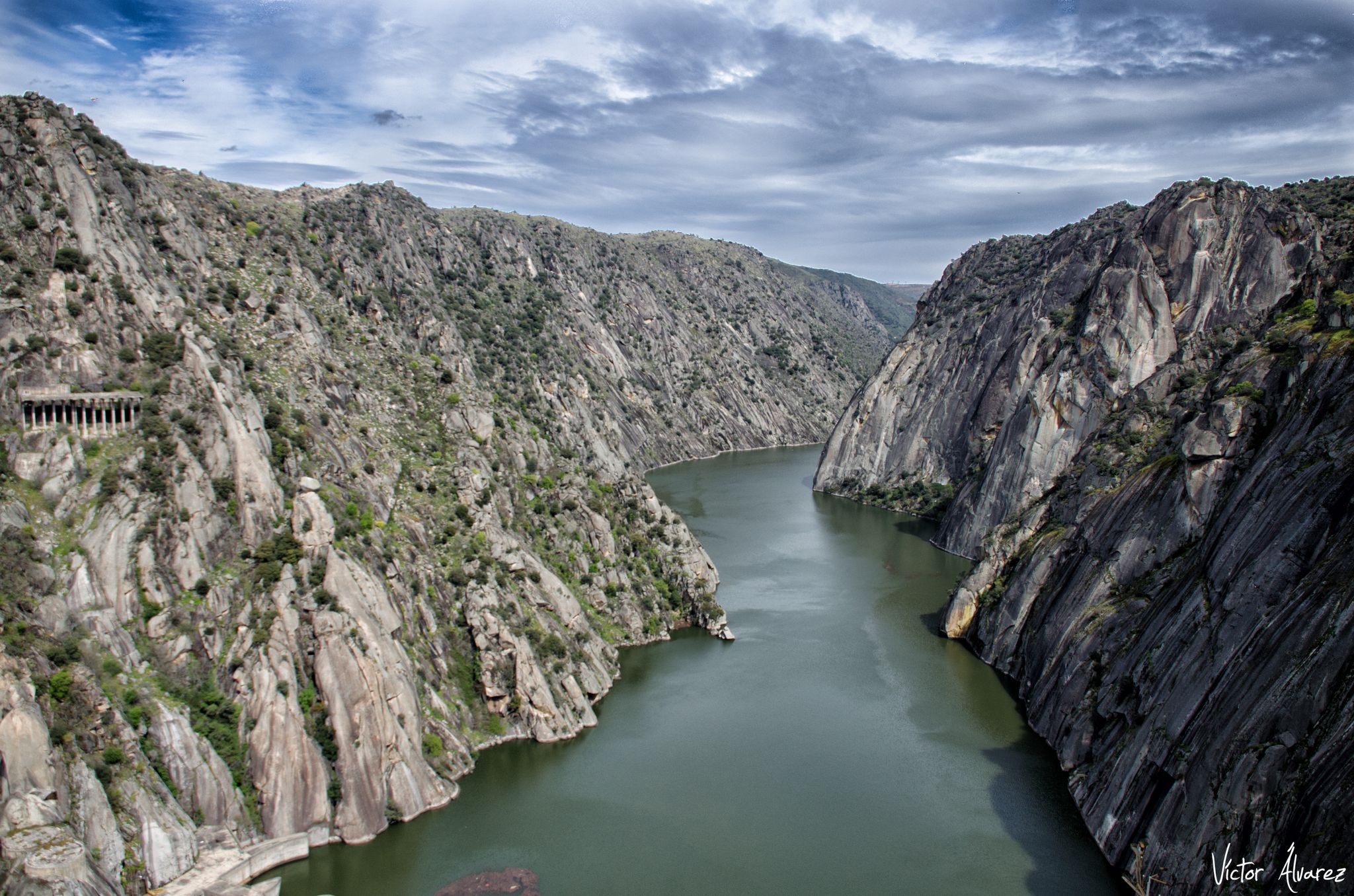
사모라 및 살라만카 하류 - 서부 두에로 트레일 (GR 14)
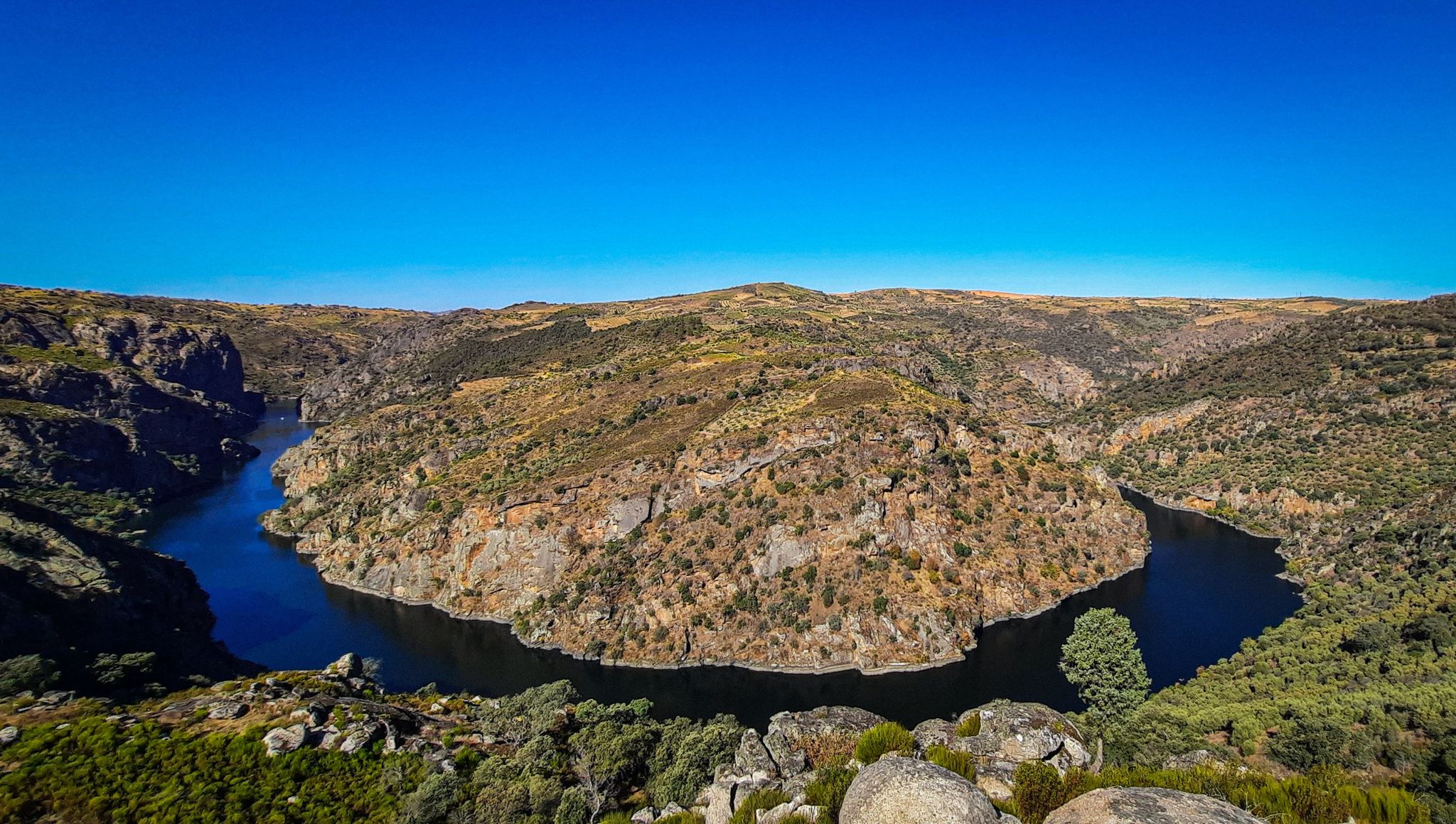
그레이트 카스티리안 리버 – 듀에로 MTB 트레일
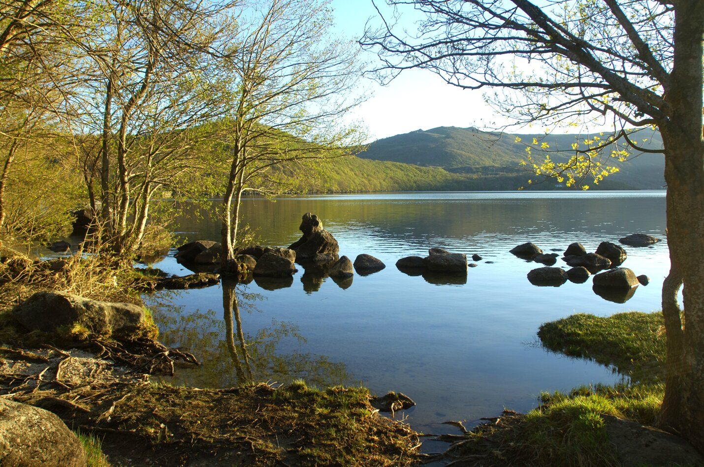
빙하유산의 경관 - Alta Sanabria의 여왕님 gwangye (MTB로)
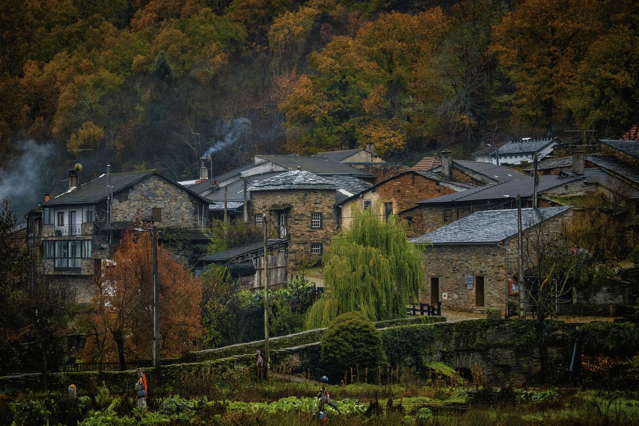
늑대의 자취를 따라 - Sierra de la Culebra MTB
이베리아 반도 내륙으로의 여정 - Levante Way (GR 239)
로마인의 자황에 따른 로맨틱한 여정 - Via de la Plata
자모라의 다른 모험


커뮤니티 팁


이 언덕은 엘 쿠에토라고 불리며 카사세카 데 캄페안 지역에 있습니다. 이 지역에서 가장 높은 곳이기 때문에 여러 안테나가 있습니다.
0
0

The summit of Galicia, with very good 360º views
0
0

If you have the chance, explore these trails and discover the natural beauty and history that are intertwined in the Lubián region.
2
1

A beautiful hiking route along the crest of the Sierra de Carpurias. Panoramic views of the surrounding valleys. The road reaches a small wild rock settlement, called the robbers' fort, at an altitude of 1,000 meters above sea level.
2
0
Beautiful gravel path that skirts the ridge until reaching the highest point of the Teso Santo, where the communication antennas are located. The trail continues following the wind farms.
1
0
Spectacular view from the top. Reaching 1,240 meters above sea level, on a clear day you can have a panoramic view of the surrounding landscape.
1
0
Located to the east of the province of Ourense, the Pena Trevinca mountains are a protected natural space that occupies almost 25,000 hectares. Its peaks, over 2,000 m high and snow-capped in winter, are crowned by glacial lakes such as O Celo or Lagoa da Serpe, with their purest, crystalline waters.
10
0
자모라에서 가장 인기 있는 명소


찾고 계신 것을 찾지 못하셨나요?
자모라의 최고의 봉우리와 정상들을 지역별로 발견해보세요:
