20의 모라비아-실레시아가지 명소 & 주요 장소
모라비아-실레시아에는 둘러볼 만한 장소가 많답니다. 하이킹 또는 사이클링을 좋아한다면 모라비아-실레시아에 숨겨진 20
가지 보석을 만날 수 있을 거예요. 이 지역의 주요 명소를 살펴보면서 다음 모험을 계획해보세요.
마지막 업데이트: 7월 20, 2026
카르비나의 마사리크 광장
하이라이트 • 정착지
번역자 Google •
팁에 의해


이런 장소를 발견하려면 지금 가입하세요
최고의 싱글 트랙, 봉우리 및 다양한 흥미로운 야외 장소에 대한 추천을 받아보세요.
무료 회원 가입
그레이트 찬토리아 전망대
하이라이트 • 전망대
번역자 Google •
팁에 의해

쉘터 스토크
하이라이트 • 산장
stozek.com.pl
번역자 Google •
팁에 의해
프리슈타트 성
하이라이트 • 성
More info: zamek-frystat.cz
번역자 Google •
팁에 의해
Praděd 정상과 전망대
하이라이트 • 정상
Adršpach-Teplice Rock City - Eagle Mountains & Jeseníky Mountains
A Travel Guide for Bohemia & Moravia
with travel & hiking sections for:
Adršpach-Teplice Rock City & Broumov Rocks
번역자 Google •
팁에 의해

란덱 파크 광산 박물관
하이라이트 • 역사적 장소
Mining museum of a former hard coal mine north of Ostrava on the Oder. exhibitions and visits. Recreational area worth seeing.
restaurant and bistro.
More information: dolnivitkovice.cz/en/landek-park
번역자 Google •
팁에 의해
보제나 넴초바 공원
하이라이트 • 자연
번역자 Google •
팁에 의해

오늘 무료 계정으로 시작하세요
다음 모험이 기다리고 있어요.
로그인 또는 가입하기



커뮤니티 팁


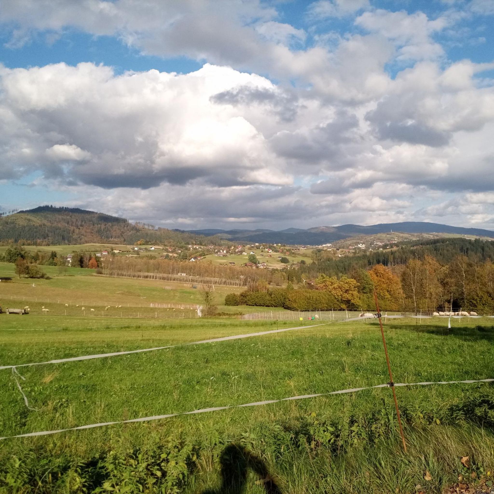
Stunning views of the surrounding area from the observation tower on Wielka Czantoria. Czantoria itself is the highest peak in the Cieszyn Beskids (995 m), and now add the tower's 29 meters.
1
0
The oldest Polish mountain shelter in the Silesian Beskids. Beautiful views, food, accommodations – it's all here. https://stozek.com.pl/
1
0


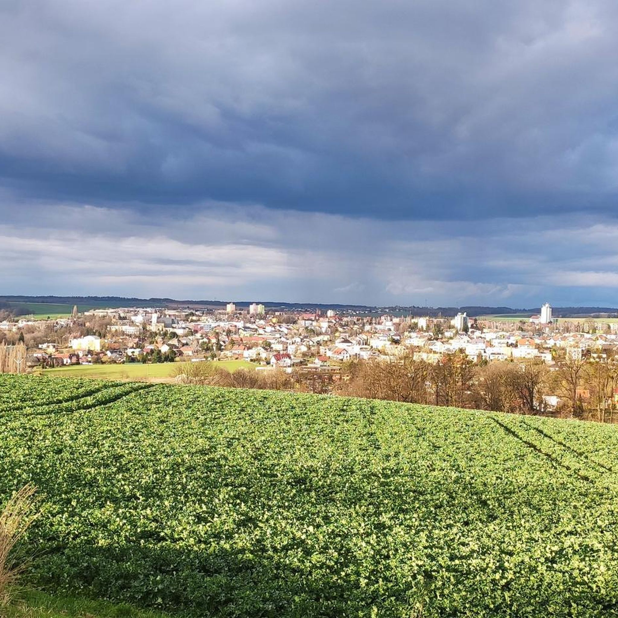
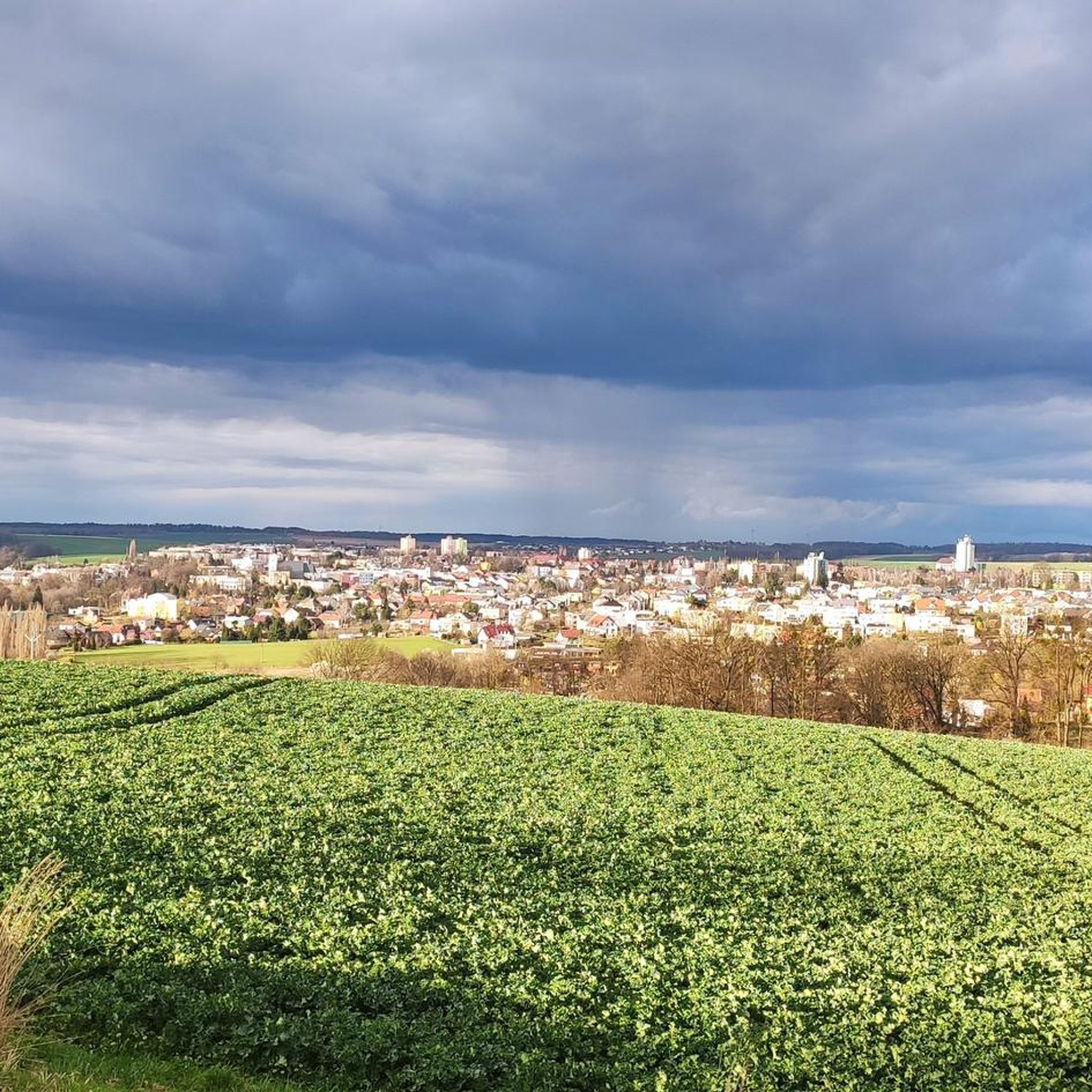
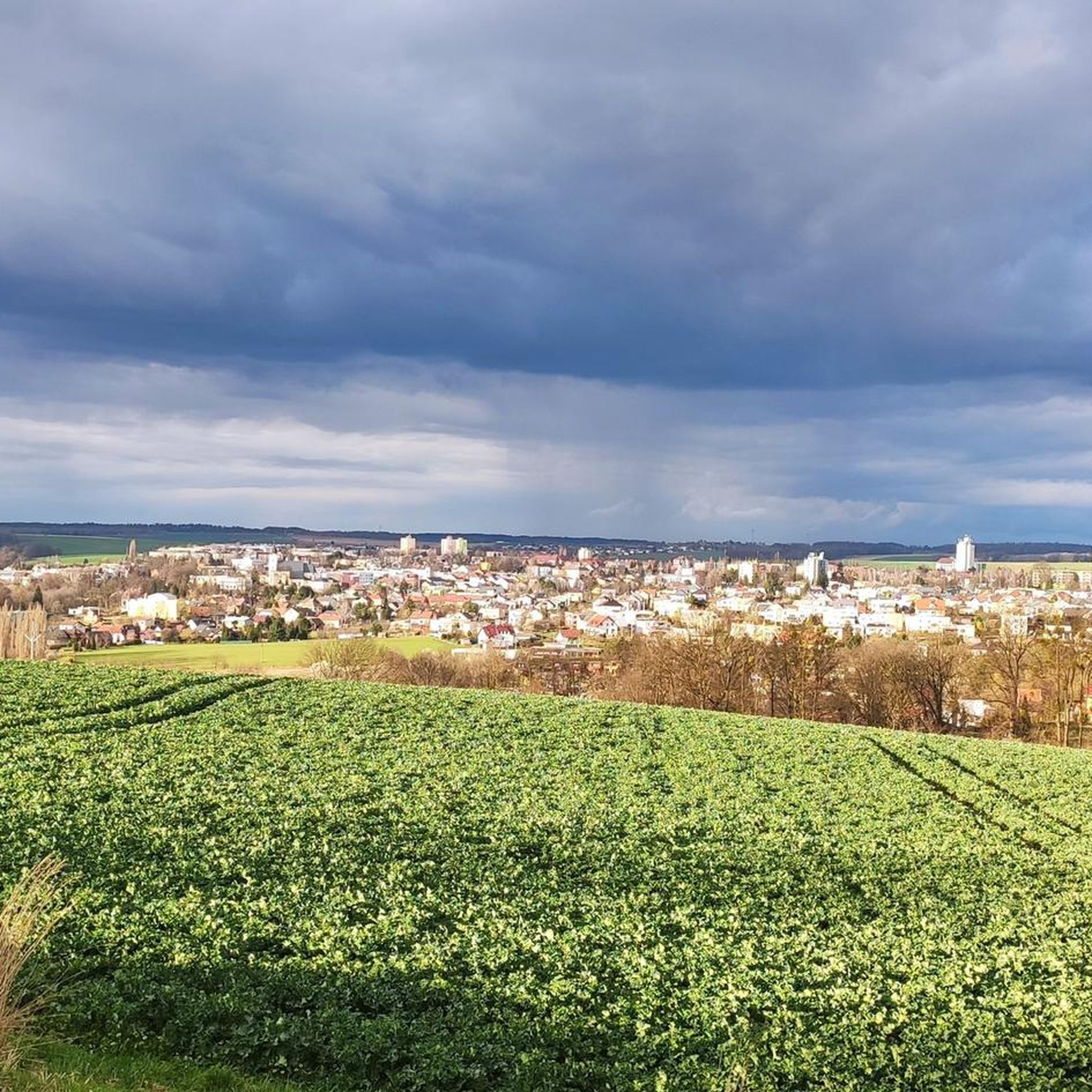
The Karviná square is a quiet place with the atmosphere of a small Czech town. Here you will find a historic town hall, colorful townhouses and several cozy cafes ideal for a break during the route. It is a good place to stop during the Iron Cycling Trail trip - you can replenish your supplies, have a coffee and feel the local atmosphere. The surfaces around the square are paved, but you can easily get there by road bike.
1
0
Fryštát Castle in Karviná is a beautiful classicist chateau located in the Czech region of Moravia-Silesia. It once belonged to the aristocratic Larisch-Mönni family and is one of the few well-preserved residences in this mining region. The interior of the chateau features richly decorated halls with original furniture and art collections, and visitors can feel the atmosphere of the old aristocracy. The chateau is surrounded by a picturesque English park, which is a great place to walk or relax. Cyclists can take advantage of the well-developed network of cycle routes in the area, connecting Karviná with other attractions in the region.
1
0
Wielka Czantoria is one of the most popular places for mountain runs and trips in the Silesian Beskids, with an attractive approach from both Ustroń and the Czech Nýdek. The route to the summit is about 5 km long in one direction and offers demanding approaches, technical descents and beautiful views of the surrounding ranges. At the top, there is a viewing tower, a shelter and the possibility of replenishing supplies. Light trail shoes with aggressive tread will be best for the route, because in wet weather the trail can be slippery and the rocks treacherous.
0
0

TIP: The following book describes the hikes in the Adršpach-Teplice Rock City, Braunau Country, Eagle Mountains & Jeseníky Mountains and the entire region in detail: Adršpach-Teplice Rock City - Eagle Mountains & Jeseníky Mountains A travel guide for Bohemia & Moravia with travel & hiking sections for: Adršpach-Teplice Rock City & Braunau Walls, Stoře Mountains National Park - with the Wild Holes (Błędne Skały), Eagle Mountains, Jeseníky Mountains with the Kłodzko Sněžník Mountain and with 43 hikes from Trutnov on the edge of the Giant Mountains to Ostrava in Moravian Silesia and from Olomouc to Hradec Králové & Pardubice ISBN: 978-3-9816577-3-9 Information about the book & possibility to Order: www.reise-karhu.de/reisebuecher/adersbacher-felsen-adlergebirge.html
0
0
모라비아-실레시아에서 가장 인기 있는 경로
모라비아-실레시아에서 가장 인기 있는 명소


찾고 계신 것을 찾지 못하셨나요?
근처의 멋진 장소를 더 탐험하고 싶으신가요? 우리의 가이드를 살펴보세요:
더 살펴보기
찾고 있는 하이라이트를 아직 못 찾으셨나요? 다른 지역의 주요 명소 가이드를 확인해보세요:
