20의 포무르스카가지 명소 & 주요 장소
포무르스카에는 둘러볼 만한 장소가 많답니다. 하이킹 또는 사이클링을 좋아한다면 포무르스카에 숨겨진 20
가지 보석을 만날 수 있을 거예요. 이 지역의 주요 명소를 살펴보면서 다음 모험을 계획해보세요.
마지막 업데이트: 10월 9, 2026
슈타이어러브뤼케(무어 보행자 다리)
하이라이트 • 다리
번역자 Google •
팁에 의해

오스트리아–헝가리–슬로베니아 3국 경계지점
하이라이트 • 기념물
번역자 Google •
팁에 의해

이런 장소를 발견하려면 지금 가입하세요
최고의 싱글 트랙, 봉우리 및 다양한 흥미로운 야외 장소에 대한 추천을 받아보세요.
예루살렘 마을과 포도밭
하이라이트 • 정착지
번역문 보기
팁에 의해

티시나 성모 탄생 교회
하이라이트 • 종교적 장소
번역자 Google •
팁에 의해
셀로의 성 니콜라스 원형 교회
하이라이트 • 종교적 장소
팁에 의해

슬로베니아–크로아티아 국경 펜스
하이라이트 • 구조물
번역자 Google •
팁에 의해


무르스카 소보타 복음교회
하이라이트 • 종교적 장소
번역문 보기
팁에 의해
렌다바 극장 및 문화 센터
하이라이트 • 기념물
번역자 Google •
팁에 의해

세계 최대 보그라치 – 기네스 세계 기록, 렌다바
하이라이트 • 기념물
번역자 Google •
팁에 의해
무료로 가입하여 포무르스카의 더 많은 명소를 발견하세요.
이미 komoot 계정이 있나요?
오늘 무료 계정으로 시작하세요
다음 모험이 기다리고 있어요.

커뮤니티 팁

Avstrijska stran je ravninska in pot lepo urejena.
0
0

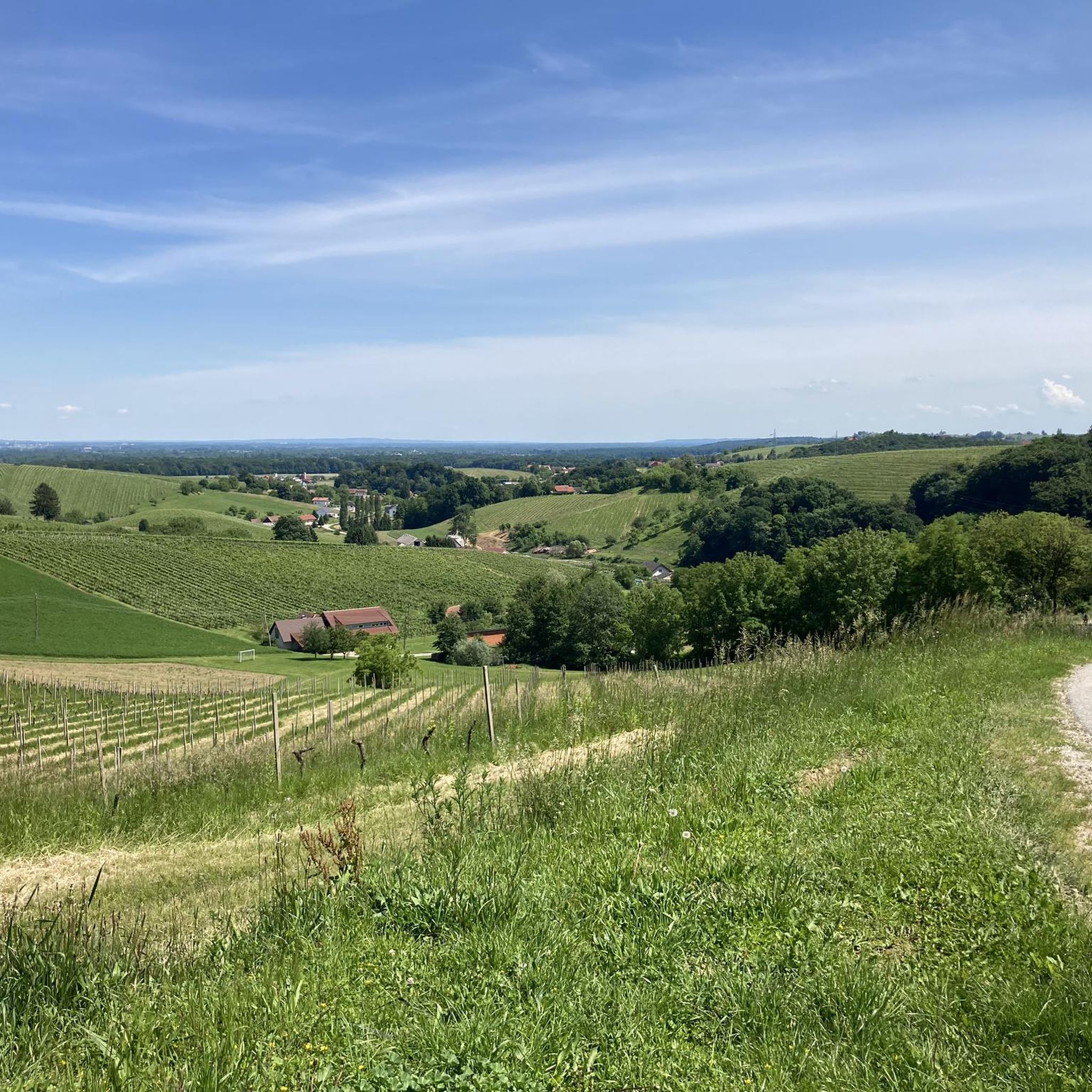
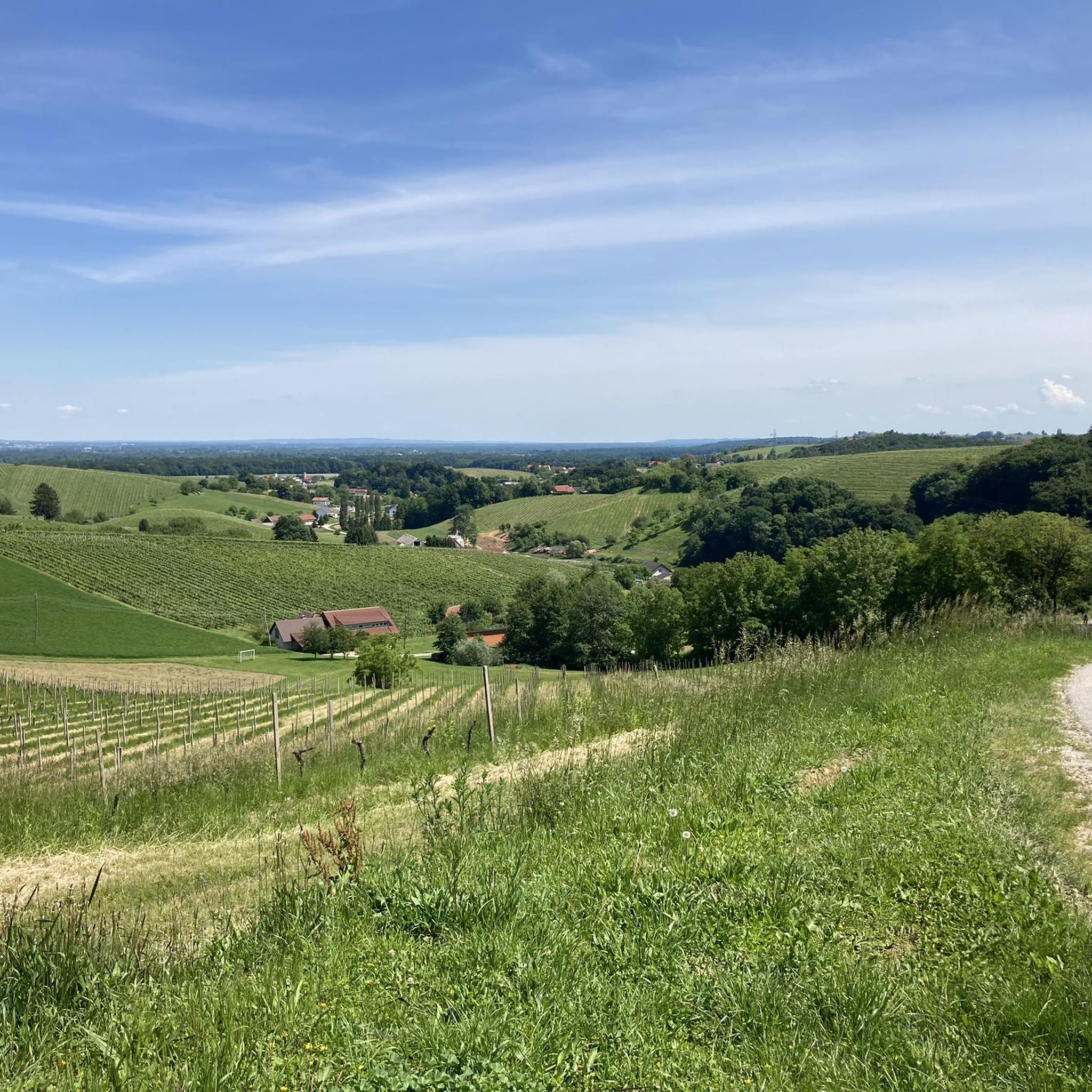
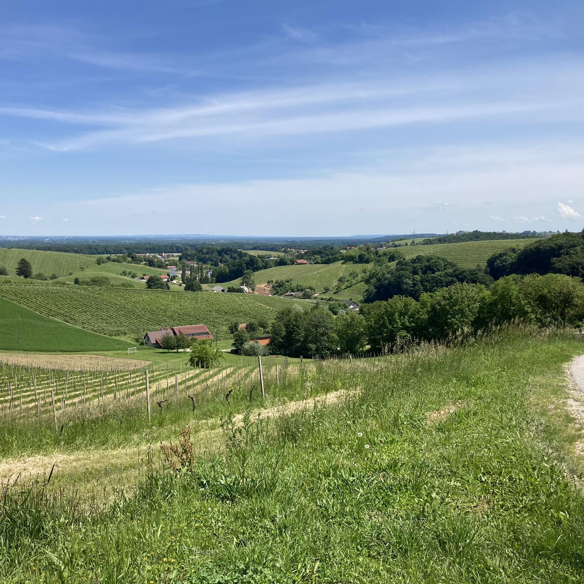
아름다운 교회와 함께하는 아름다운 작은 와인 생산 마을
3
0

The water is drinkable, but contains impurities, which is why it has a distinct smell and taste. It contains natural CO2 and iron oxide, which oxidizes upon contact with air, hence the red color around the spring. The well is said to be about 50 meters deep. Interestingly, iron oxide was once used in painting and can be found in the surrounding church frescoes.
0
0
A super nice tour, lots of asphalt roads, but also gravel paths, partly along the Mur, great views, beautiful towns, good food, great lakes and ponds, a short ride on the Mur ferry (free), highly recommended
4
0
A super nice tour, all asphalt roads, highly recommended, unfortunately in Slovenia few places to stop for refreshments
3
0

The largest portion of bograč, a traditional dish from Prekmurje, was cooked in Lendava on September 4, 2021, as officially confirmed by the Guinness Book of Records on Monday. The culinary team prepared 1,801 kilograms of the dish in a single cauldron. Six chefs and 20 helpers took 16 hours to prepare the dish, which typically consists of three types of meat, wine, and potatoes. The team consisted of professional chefs, members of the town and local communities, the local tourism authority, and firefighters. It took more than three hours to roast the 400 kilograms of onions. The world's largest portion of bograč also included four kilograms of garlic, 220 kilograms of beef, 160 kilograms of venison, 300 kilograms of pork, 400 kilograms of potatoes, 22 kilograms of spices, and 12 liters of local wine. Approximately 3,500 portions were distributed to visitors. The cauldron was borrowed from the municipality of Velika Polana, which produced the world's largest batch of sour beet stew in 2013, cooking 1,089.5 kilograms of the dish. Lendava was declared the world capital of bograč in 2011, and bograč is part of Slovenian tradition and gastronomic heritage.
2
0
In the heart of Lendava stands the striking building designed by the world-renowned Hungarian architect Imre Makovecz. The artist was a proponent of organic architecture, hence the frequent use of natural materials in his buildings. This organic construction method is also evident in the case of the Lendava Cultural Center. The theater and concert hall has 444 seats. The large stage and the hall's professional equipment allow for the hosting of various concerts, theater performances, operettas, and conference events. Various exhibitions are regularly presented in the building's foyer. The square in front of the building is adorned with a bust of the local sculptor György Zala. At the end of the year, Christmas and New Year's events provide entertainment on cold days, where everyone can find something to their liking. In addition to the varied entertainment program and festive atmosphere, mulled wine and Christmas delicacies await, while children will be entertained with a musical program, creative workshops, and the arrival of Santa Claus. One of the most mysterious events is certainly the torchlit hike on New Year's Eve, where an illuminated "snake" of hikers slowly winds its way through the town and snow-covered vineyards of Lendava in the magical torchlight.
0
0
포무르스카에서 가장 인기 있는 명소


찾고 계신 것을 찾지 못하셨나요?
근처의 멋진 장소를 더 탐험하고 싶으신가요? 우리의 가이드를 살펴보세요:
더 살펴보기
찾고 있는 하이라이트를 아직 못 찾으셨나요? 다른 지역의 주요 명소 가이드를 확인해보세요:
