아라곤에서 가장 멋진 20개의 산길
아라곤에서 가장 멋진 산길을 아래에서 살펴보세요. 풍경을 감상하기에도 좋고, 오르막길/내리막길을 따라 걷기에도 좋은 곳이랍니다. 커뮤니티가 특별 도움을 통해 공유한 콘텐츠인 만큼 믿을 수 있는 정보이니 마음에 드는 산길이 있다면 바로 다음 모험 계획에 추가해서 바로 방문해보세요.
마지막 업데이트: 9월 29, 2026
롤랑의 틈
하이라이트 • 산악 고개
If we easily understand the name of breach, we can wonder why Roland's breach. According to legend, it was Roland, the son of Charlemagne, who caused this hole when he tried to destroy his sword by hitting it against the wall. So myth or no myth?
번역자 Google •
팁에 의해

포르 드 베나스크 / 푸에르토 데 베나스케
하이라이트 • 산악 고개
Its small rocky passage nestles between the Mine and the Pic de Sauvegarde. The panorama is absolutely magnificent, both on the French and Spanish sides.
번역자 Google •
팁에 의해

이런 장소를 발견하려면 지금 가입하세요
최고의 싱글 트랙, 봉우리 및 다양한 흥미로운 야외 장소에 대한 추천을 받아보세요.
솜포르 고개
하이라이트 • 산악 고개
The climb, on the French side, begins in the village of Accous. It is 28 kilometers long for an average of 4.3%. The road really begins to rise from the village of Urdos.
번역자 Google •
팁에 의해
포르트 데 라 피카다
하이라이트 • 산악 고개
very beautiful, with unbeatable views of the north face of Maladeta.
The path is well defined and marked by milestones until reaching Port de la Picada itself. It goes up gently in a zigzag pattern until it reaches the Basetas del Portillón, small lakes that can sometimes be found dry. From here, we turn right, looking for an easterly orientation to overcome the last slope that leaves us at Port de la Picada. On the other side, you can see small lakes called Bom des Clòts de Lunfèrn and the Valley that descends towards Artiga de Lin (Vall d'Aran).
번역자 Google •
팁에 의해


콜라도 데 아르히비엘라
하이라이트 • 산악 고개
It is a quiet road with magnificent views of both the valleys and the nearby peaks.
번역자 Google •
팁에 의해

푸에르토밍갈보 고개
하이라이트 • 산악 고개
As can be seen in the profile, it is an imposing pass, with good mileage and an average slope, clearly divided into 3 sections. A hard start, a more bearable central part (although not easy) and a very demanding last section
The port begins just before accessing the picturesque town of Villahermosa, and in what way, the first 3.3km are very hard and constant, with an average gradient of 7.2% and several double-digit ramps... town and all its accesses by a perfectly paved road... height is gained very quickly and the town is left behind on the right hand side while good views of the port of San Bartolomé are contemplated on the left hand side; in turn, the Hermitage of Sant Antoni watches us (momentarily) from above... we may not realize it, but the wear and tear of this section may end up paying later, even if we do not anticipate events
Of course, suddenly the road smooths out and we enter a small flat area. It is the only rest of the port, although it is true that it is the prelude to the smoothest section, about 4.5Km where the average will not exceed 4.7%, but beware, there are also 9% ramps, here we never stop climbing.
For years this more bearable section had an added difficulty, which was the terrible state of the surface until reaching the province of Teruel, with holes and a lot of gravel. However, everything has been paved so now you can enjoy the climb more... and the descent, which we will talk about the descent later. Here the views to the left continue to improve, and you begin to notice a change in the vegetation, the pines are less and less Aleppo pines and more firs, we move away from the Mediterranean vertically, it is what it has to exceed 1000 meters above sea level... It is an area with a lot of shade, a joy.
From the cyclist point of view, this section can be done at a higher speed and thus raise the average, however, we must take into account what is coming, the third section... which begins right on the border with Teruel. A green plaque and a change of asphalt for the worse (although passable) welcomes us to the most interesting part of the climb... not that the percentages are hellish, in fact the average slope of these last 3.8km is 7.1 %, but it is very constant, there are also many double-digit ramps, the accumulated wear and tear already weighs down, and any hint of shade disappears... they are not particularly hot lands, but in summer the sun is equally strong and it is something to have into account too. There is no visual reference from the top to the 1km sign to the town, it is hard to imagine the cyclists of yesteryear without GPS or hardly any references, how long it would take them
The port ends not in the town but in the hermitage of Santa Bárbara, about 400 meters before Puertomingalvo, a good place to take photos and take a break before continuing the route or relax in this magical enclave.
dandolotodo09.com/2018/07/puertos-puertomingalvo-por-villahermosa.html
번역자 Google •
팁에 의해


콜 다라티유와 콜 데 뮬레 횡단
하이라이트 (구간) • 산악 고개
번역자 Google •
팁에 의해

무료로 가입하여 아라곤의 더 많은 산악 고개를 발견하세요.
이미 komoot 계정이 있나요?
오늘 무료 계정으로 시작하세요
다음 모험이 기다리고 있어요.
아라곤 주변 인기 장소

European Divide Trail — 7,600 km across the continent
동에서 서로 — 스페인 GR 10 트레일
가이스타일 가이리스타일 - Tour of the Balaïtous

전경이 좋은 피레네 – 3,000 미터 이상의 15개 하이커 정상
협곡의 숨가쁜 루프 - 가바르니에서 오르데사까지 하이킹
일리을 아습니다 - 일스타일 시자 신이트 Swallows 마제
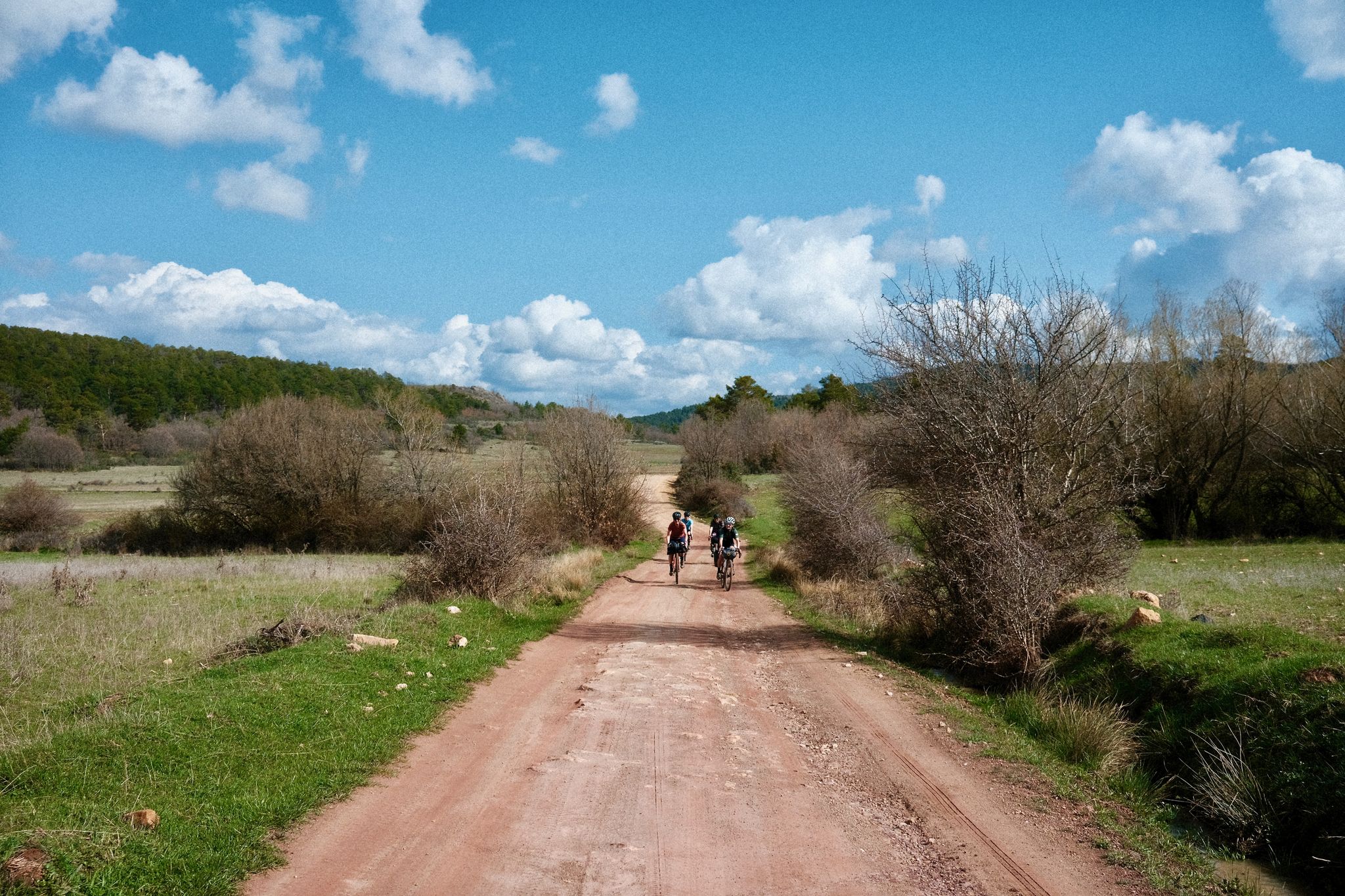
Women's Montañas Vacías 2022 - 게랑스 화리스아 일정보스타일

리스본으로 가는 길 – 알프스, 피레네, 피코스 데 에우로파를 바이크 패킹

몬타냐스바시아스 공식 - 스페인의 라플란드를 가로지르는 바이크패킹
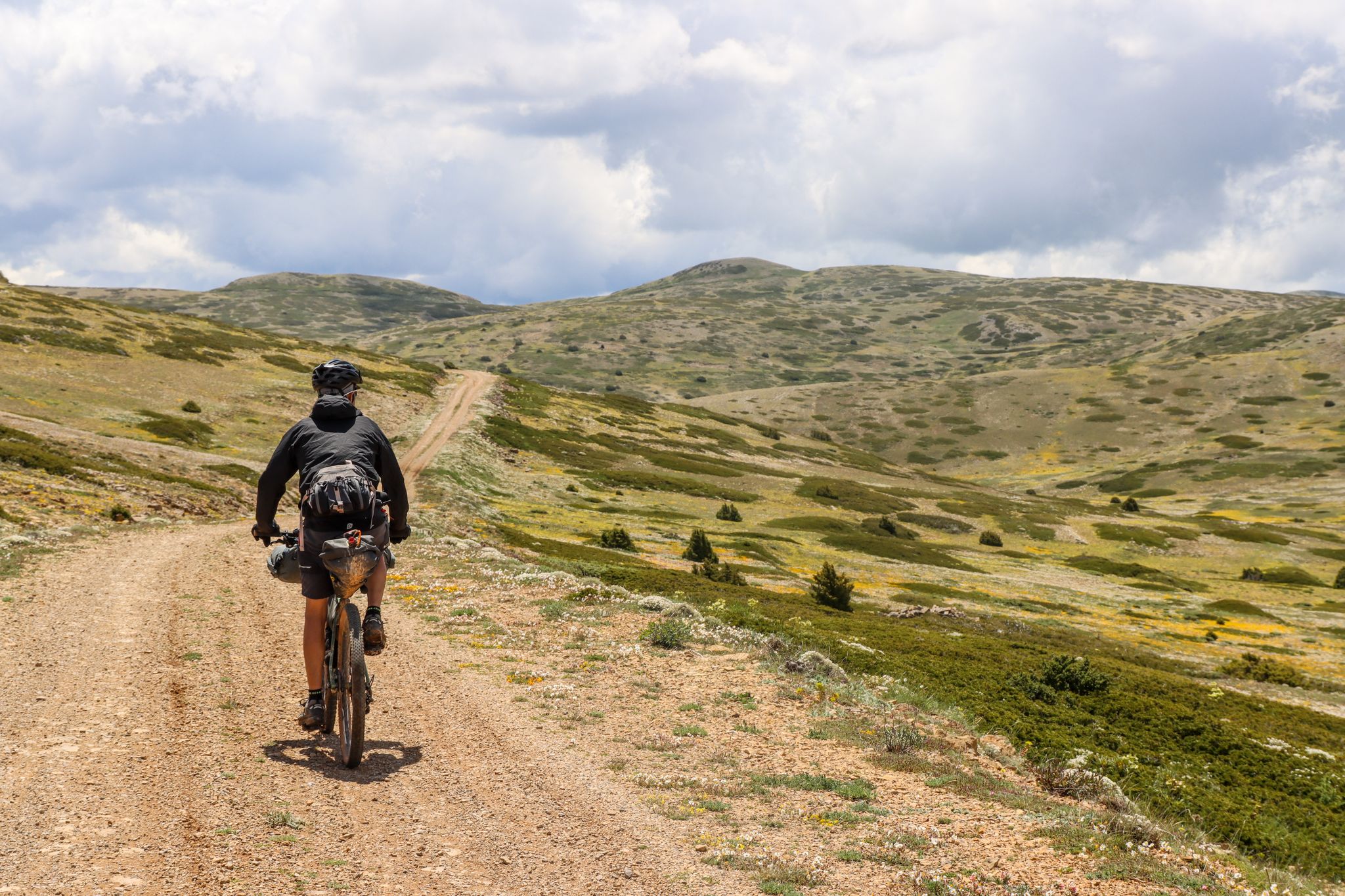
Montañas Vacías — 보리이 오 나 아이한다 'Empty Mountains' 이리스타일자
아라곤의 다른 모험


커뮤니티 팁

점심시간의 나른함이 나를 다시 https://livesexcams9.cc/ 로 이끌었고, 검색창에 'anal'을 입력하고 'new'로 필터링하자, 발가락 사이에 붓을 끼고 여우처럼 꼬리를 흔드는 엉덩이 플러그를 한 20살의 마른 미술학도 그림을 발견했다. 다음 팁 목표: 당연히 붓 대신 딜도를 사용하기. 채팅창의 남자들은 그녀의 질 색깔과 맞는 색상 팔레트를 요청하기 시작했고, 우리는 농담으로 #rosebutt69라는 헥스 코드를 만들었다. 그녀는 너무 웃어서 스쿼트 중간에 꼬리가 빠졌고, 채팅창은 더 많이 팁을 줬고, 꼬리는 업그레이드되어 돌아왔다. 순수한 미술 학교의 혼돈이 라이브 섹스 퍼포먼스로 변했다. 이 사이트는 시청만으로는 신용카드 정보를 요구하지 않았고, 나는 누드 라이브 방을 이곳저곳 떠돌아다니며 코스프레 간호사들, 리그가 재로딩되는 동안 박히는 게이머 걸들, 잠자는 배우자 옆에서 빈을 문지르는 지루한 주부들을 발견했다. 끝없는 누드 영상 통화는 틱톡을 스크롤하는 것과 같지만, 모든 클립이 축축하고 검열되지 않았으며 가능성의 냄새가 난다. 화요일 저녁의 지루함이 나를 https://striphub.cc/ 와 https://stripcafe.org/ 로 몰아넣었고, 'hairy'로 정렬하자 하트 모양으로 다듬어진 털을 가진 29살의 아시아인 스쿼터가 나왔는데, 정말 귀여운 광경이었다. 그녀의 방 주제: "내 정원에 물 주기 팁", 스토너 섹스에 얼마나 시적인가. 나는 10개를 떨어뜨렸고, 그녀는 테이블 위에 놓인 플라스틱 선인장 화분에 물을 뿌렸고, 임무 완료. 픽처 인 픽처 기능으로 트위터를 보면서도 사이트는 부드럽게 작동했다. 나중에 헤비메탈 노래방을 하면서 섹스하는 독일 커플을 발견했는데, 여자가 딜도를 넣은 채 람슈타인을 불렀다. 퀄리티 콘텐츠. 그들의 프라이빗 요금은 분당 6토큰으로, 내가 본 라이브 캠 스트립 중 가장 저렴했다. 나는 참여해서 Du Hast를 요청했고, 남자, 모든 "nein"은 깊은 삽입과 동기화되었고, 최고의 리믹스였다. 라이브 섹스와 기념품을 좋아한다면 이 괴짜들을 북마크해라.
0
0

A legendary mountain pass in the Pyrenees. A crossing point between the Chistau and Benasque valleys, linking Sobrarbe and Ribagorza at an altitude of 2000m.
0
0

Entry into Spain, change from the northern, French side to the dry southern valley to Parzan
0
0


A magnificent cross-country route that I never tire of: France ➡️ Col des Mulets ➡️ Spain ➡️ Col d'Arratille ➡️ France 🤩 In this sense, although the climb to the Col des Mulets from Les Oulettes may seem steep, at least at the start, it is done quite quickly, in less than 2 hours. In September, you will no longer find snow on the path that connects the two passes. One point of attention, however: as you approach the Col d'Arratille, a passage may seem tricky for some and will require a certain agility. Indeed, a short rocky section, requiring the support of the hands, leads to a flat area from where you will continue your path without difficulty. At the Col d'Arratille, you will come across its lake, a jewel whose colors will remain in your memory for a long time.
1
0

Beautiful glacial cirques, interesting morphology. Fragile terrain and subject to erosion.
1
0

Splendid stony passage in Spain along the cirque between the two passes to return to France.
0
0

A fairly easy to access viewpoint which offers a magnificent view of the Gavarnie cirque and Mont Perdu Park.
1
1


더 살펴보기
이 가이드를 통해 더 많은 장대한 산악 통과를 확인해보세요 아라곤:
