케리 최고의 워킹 & 하이킹 경로
4.5
(7024)
33,954
등산객
604
하이킹
케리에서 하이킹하며 뮌스터 구석 부분까지 살펴볼까요? 케리에 있는 모든 하이킹 및 워킹 경로 컬렉션 중 가장 멋진 하이킹 경로를 엄선하여 소개해드릴게요. 다른 하이커가 공유한 실제 팁과 사진을 살펴보고 후기를 읽으며 마음에 드는 케리 워킹 경로를 찾아보세요.
마지막 업데이트: 10월 8, 2026
4.7
(943)
3,229
등산객
13.9km
03:43
170m
170m
보통 하이킹. 좋은 체력 필요. 실력과 관계없이 누구나 쉽게 갈 수 있는 길.
4.8
(247)
1,336
등산객
9.75km
03:32
430m
430m
보통 하이킹. 좋은 체력 필요. 대부분 갈 수 있는 길. 미끄러지지 않게 조심해야 함.

4.6
(192)
838
등산객
12.5km
05:26
840m
840m
어려운 하이킹. 우수한 체력 필요. 튼튼한 신발을 신고 미끄러지지 않게 조심해야 하며, 높은 산을 오른 경험이 있어야 함.
4.7
(216)
1,105
등산객
12.7km
03:29
200m
200m
보통 하이킹. 좋은 체력 필요. 실력과 관계없이 누구나 쉽게 갈 수 있는 길.
4.7
(172)
650
등산객
8.90km
02:59
320m
320m
보통 하이킹. 좋은 체력 필요. 대부분 갈 수 있는 길. 미끄러지지 않게 조심해야 함.
4.8
(192)
701
등산객
7.75km
02:08
130m
130m
보통 하이킹. 좋은 체력 필요. 대부분 갈 수 있는 길. 미끄러지지 않게 조심해야 함.
4.6
(145)
595
등산객
6.13km
01:36
40m
40m
초급용 하이킹. 모든 체력 수준에 적합. 실력과 관계없이 누구나 쉽게 갈 수 있는 길.
4.6
(111)
466
등산객
7.13km
02:04
190m
190m
보통 하이킹. 좋은 체력 필요. 실력과 관계없이 누구나 쉽게 갈 수 있는 길.
4.9
(39)
291
등산객
12.6km
08:20
980m
980m
어려운 하이킹. 우수한 체력 필요. 튼튼한 신발을 신고 미끄러지지 않게 조심해야 하며, 높은 산을 오른 경험이 있어야 함.
4.8
(130)
532
등산객
20.6km
05:45
370m
370m
어려운 하이킹. 우수한 체력 필요. 실력과 관계없이 누구나 쉽게 갈 수 있는 길.
더 다양한 경로와 다른 탐험가들의 추천을 살펴보세요.
이미 komoot 계정이 있나요?
투어 추천은 다른 사람들이 komoot에서 완료한 수천 개의 활동을 바탕으로 구성되어 있습니다.
오늘 무료 계정으로 시작하세요
다음 모험이 기다리고 있어요.
케리 주변 인기 장소
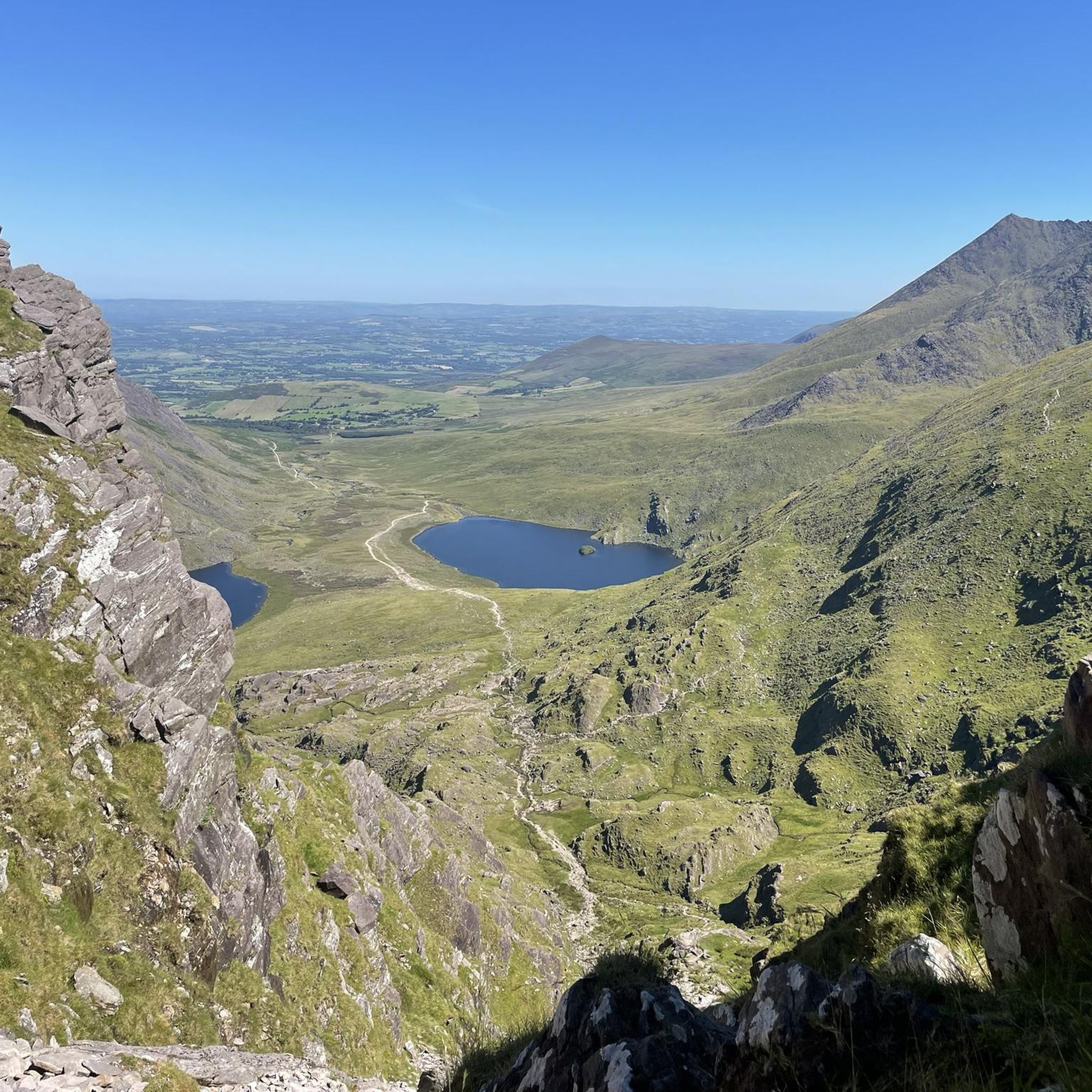
Kenmare 하이킹
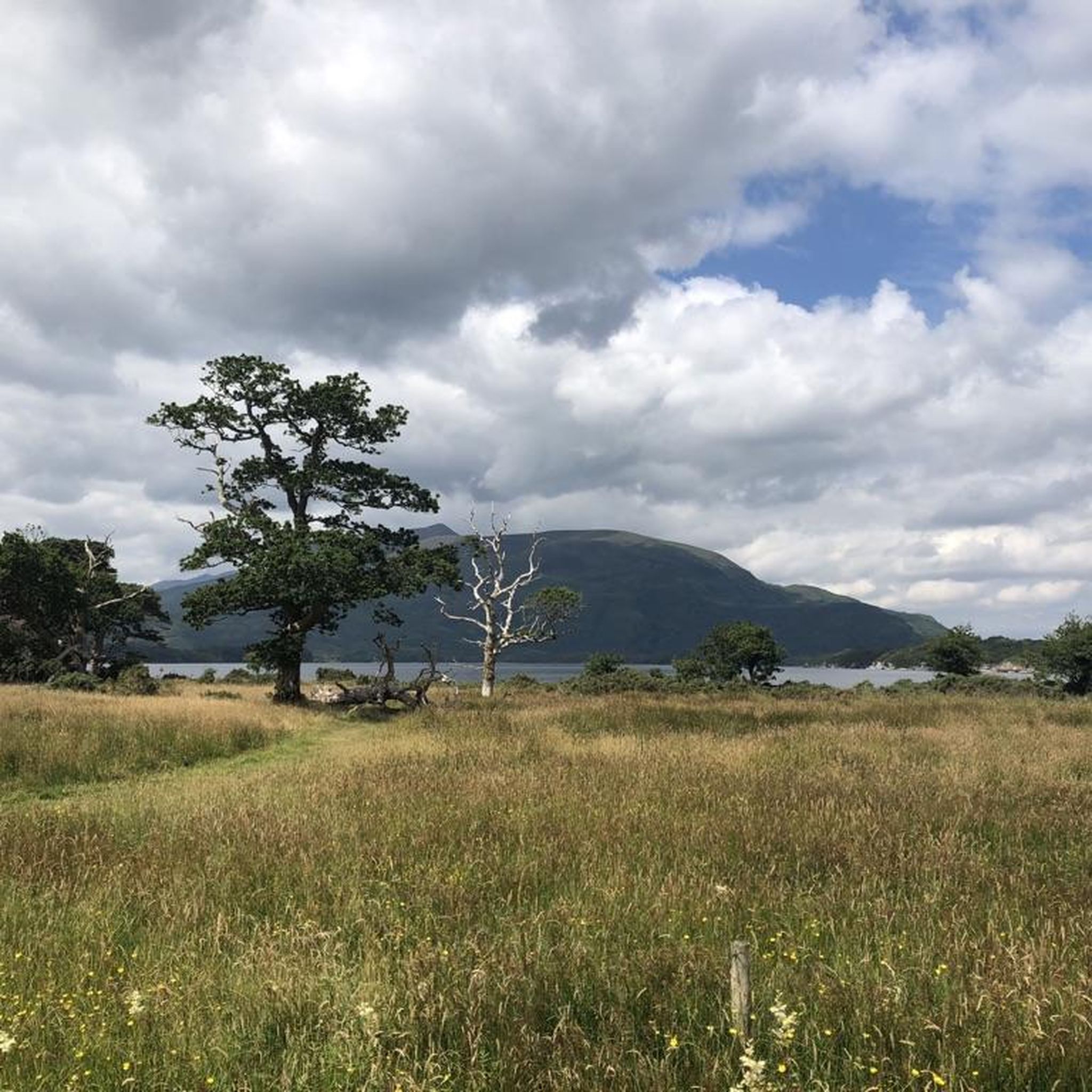
Killarney 하이킹
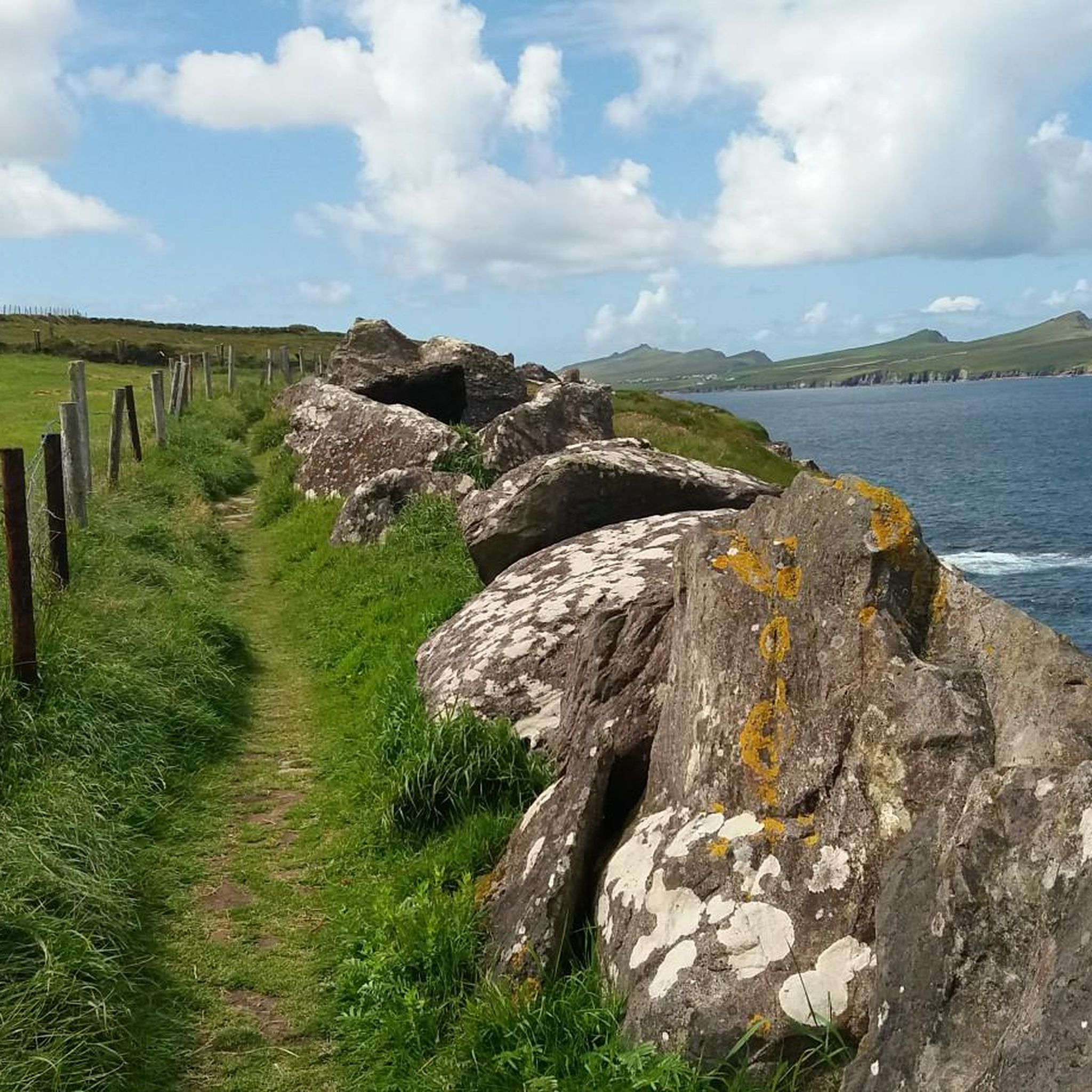
Castleisland-Corca Dhuibhne 하이킹
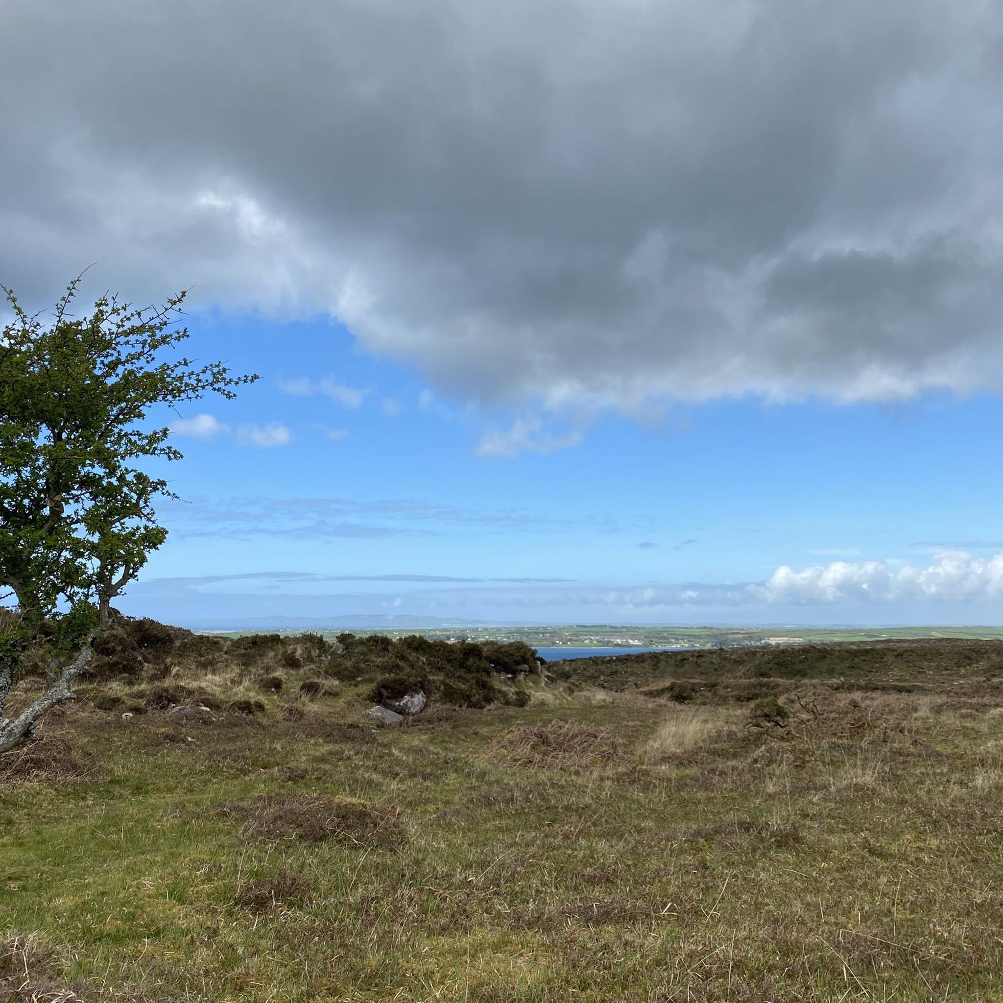
Tralee 하이킹
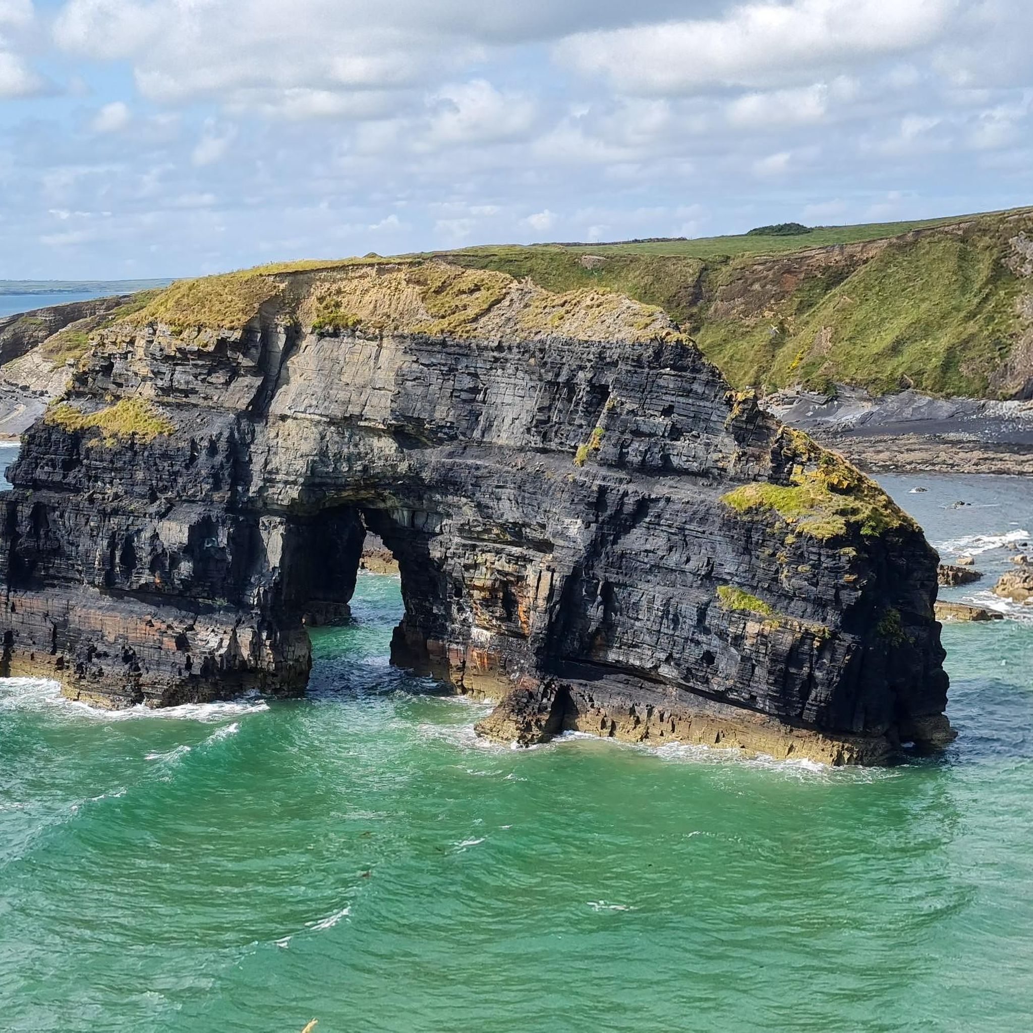
Listowel 하이킹
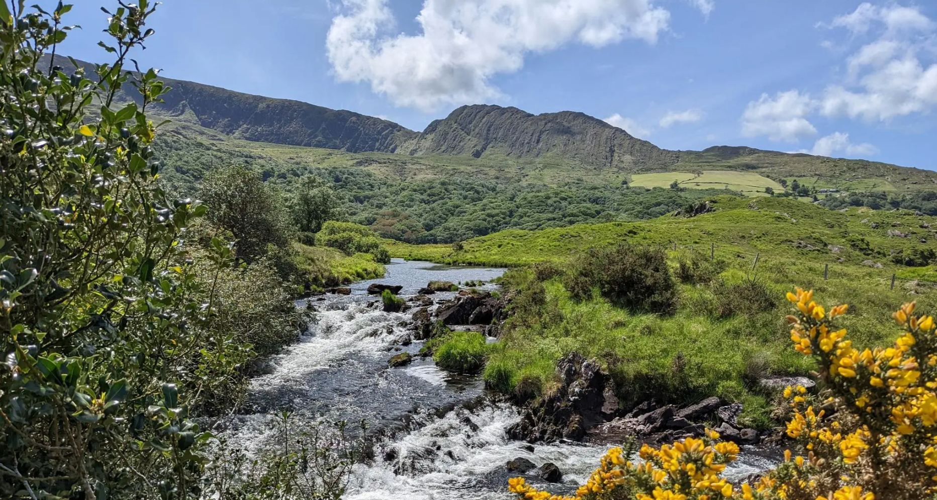
The Atlantic, 울퉁불퉁한 Mountains와 눈부신 Coast – Beara Way
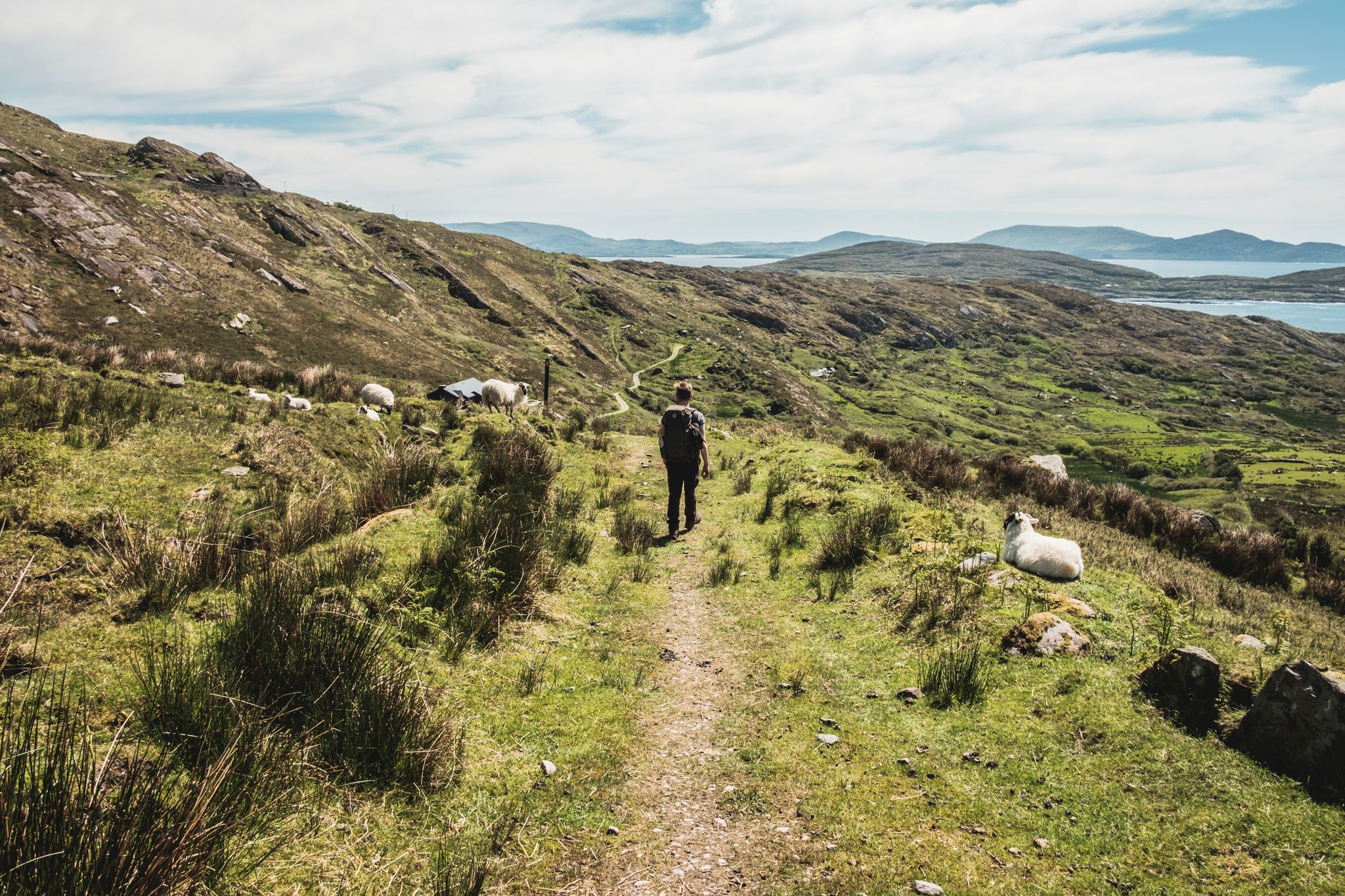
The Kerry Way — 9 MOUNTAINOUS STAGES in south west Ireland
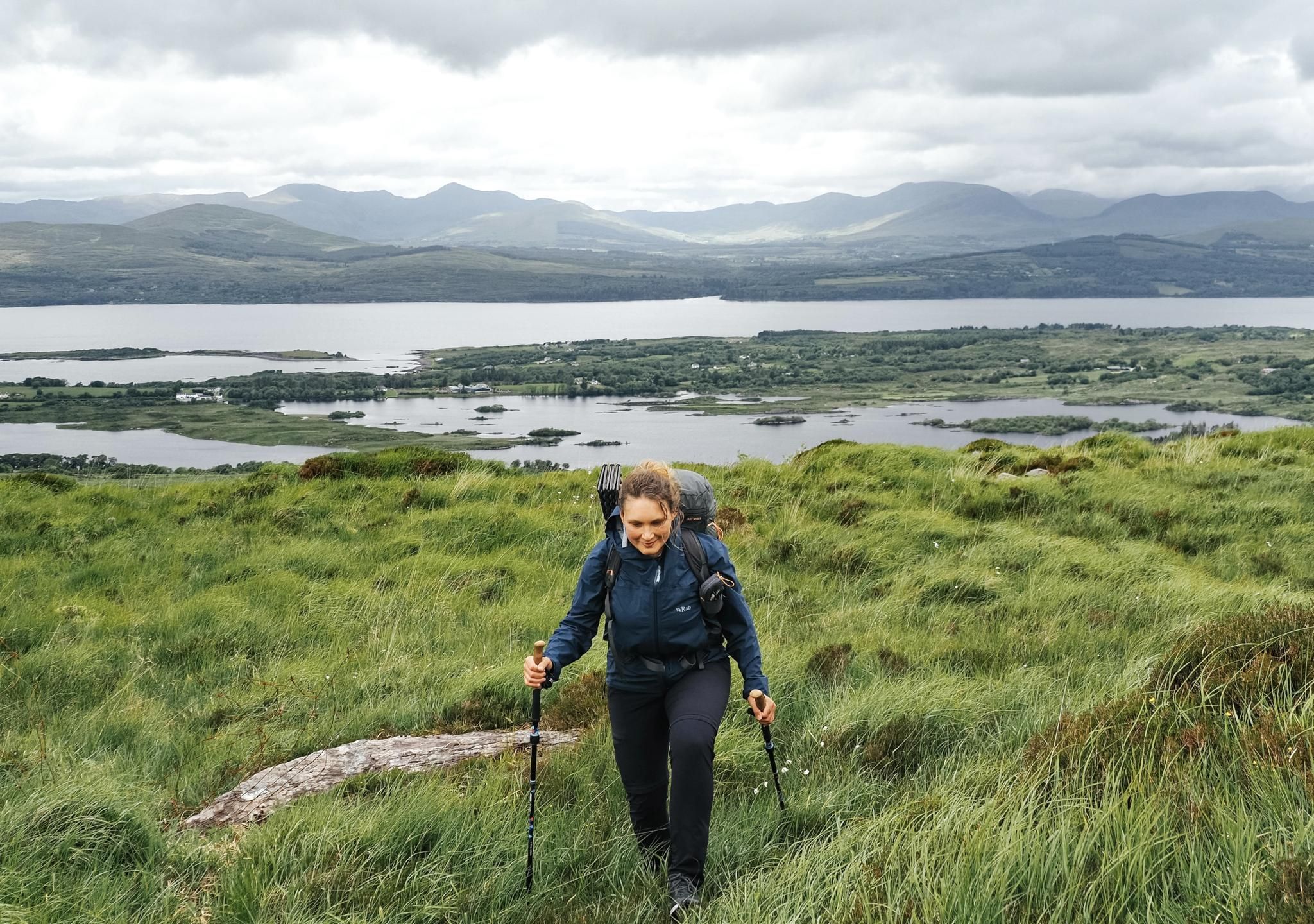
Beara Way – Kenmare to Glengarriff
Ireland's finest – three days along the Kerry Way Loop

물을 따라가세요 - 아일랜드의 강과 호수를 따라
케리의 다른 모험


커뮤니티 팁

정말 인상적인 풍경입니다. (예: 자전거 타기!) 그곳까지 가는 노력할 가치가 있습니다.
0
0


In the heart of a beautiful park planted with rare species, you can visit the house where Daniel O'Connell—the "Liberator," as he is known—spent his childhood before attending school in Cobh and then in France. This 19th-century residence contains touching reminders of the famous patriot: personal objects, documents, furniture, and family paintings, including a stunning painting depicting him as Hercules breaking his chains!
8
0

Gap of Dunloe is a narrow mountain pass between the MacGillycuddy Reeks and Purple Mountain, amazing 11 kilometres of it! The spectacularly winding road here descends into The Black Valley passing five lakes. The Head of the Gap is its highest point.
0
0


찾고 계신 것을 찾지 못하셨나요?
케리에서 더 많은 하이킹를 확인하고 목적지에서 완벽한 경로를 찾아보세요.
