타르브 최고의 등산 경로
5.0
(1)
18
등산객
3
하이킹
타르브에서 하이킹하며 옥시타니아 구석 부분까지 살펴볼까요? 타르브에 있는 모든 하이킹 및 워킹 경로 컬렉션 중 가장 멋진 하이킹 경로를 엄선하여 소개해드릴게요. 다른 하이커가 공유한 실제 팁과 사진을 살펴보고 후기를 읽으며 마음에 드는 타르브 워킹 경로를 찾아보세요.
마지막 업데이트: 8월 23, 2026
5.0
(1)
6
등산객
8.70km
03:01
500m
500m
보통 등산 코스. 좋은 체력 필요. 실력과 관계없이 누구나 쉽게 갈 수 있는 길.
2
등산객
6.69km
02:50
570m
570m
보통 등산 코스. 좋은 체력 필요. 실력과 관계없이 누구나 쉽게 갈 수 있는 길.

무료 회원 가입
2
등산객
4.55km
01:56
330m
330m
보통 등산 코스. 좋은 체력 필요. 대부분 갈 수 있는 길. 미끄러지지 않게 조심해야 함.
투어 추천은 다른 사람들이 komoot에서 완료한 수천 개의 활동을 바탕으로 구성되어 있습니다.
오늘 무료 계정으로 시작하세요
다음 모험이 기다리고 있어요.
로그인 또는 가입하기
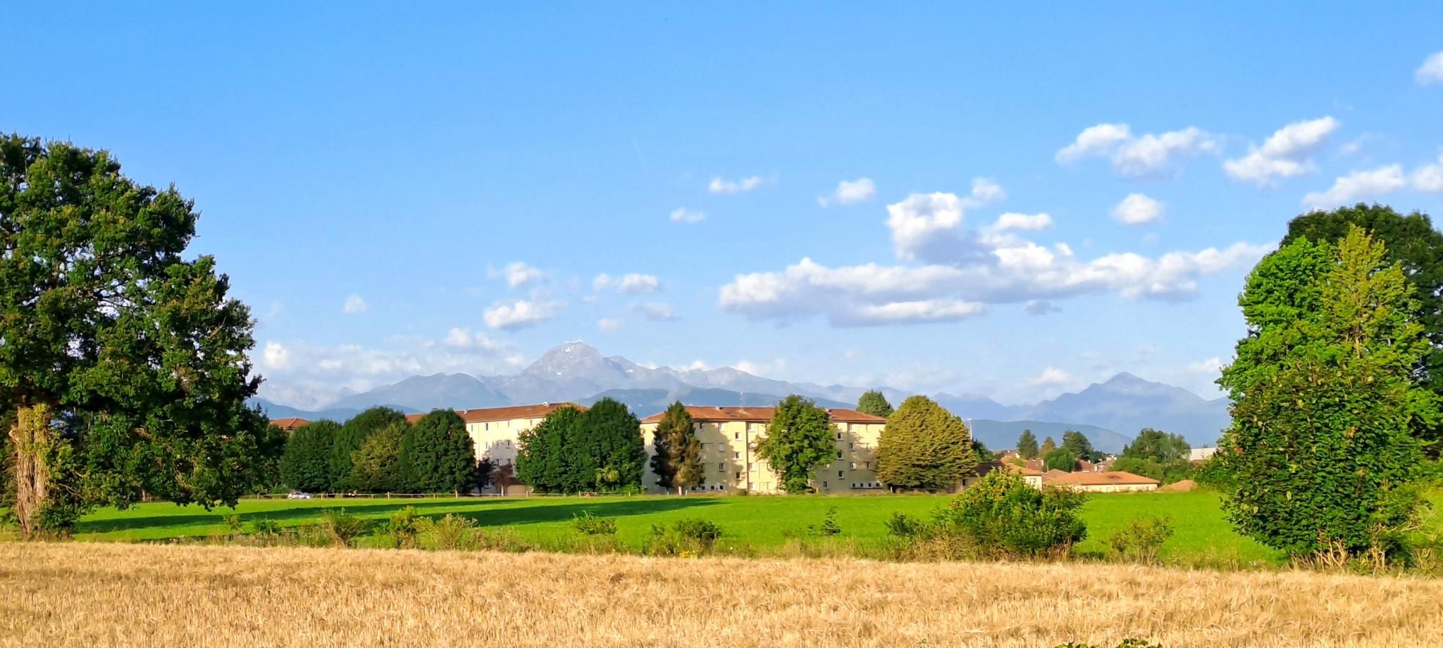
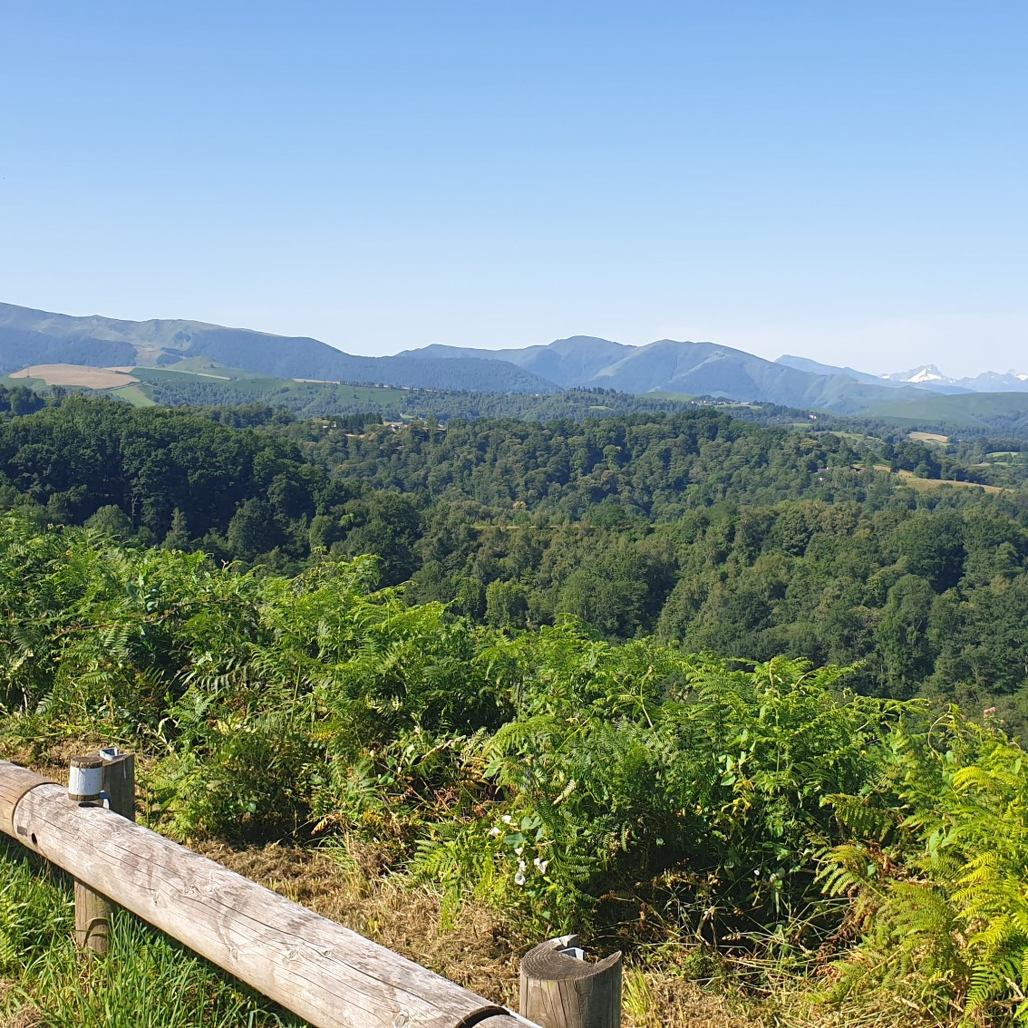
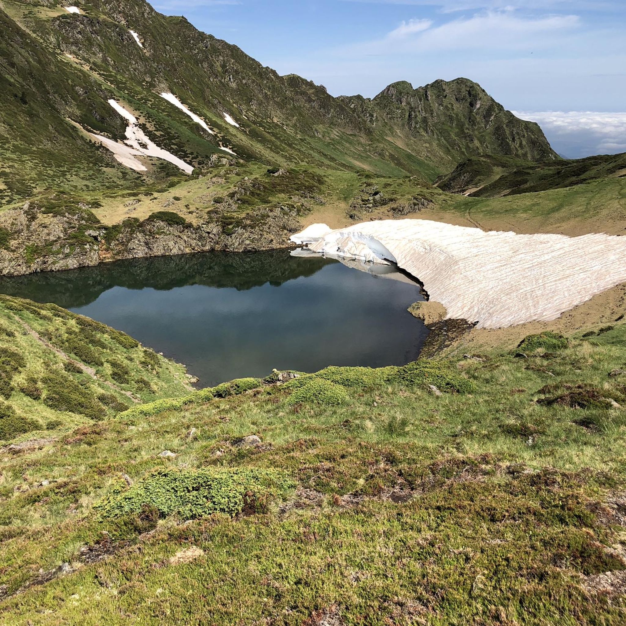
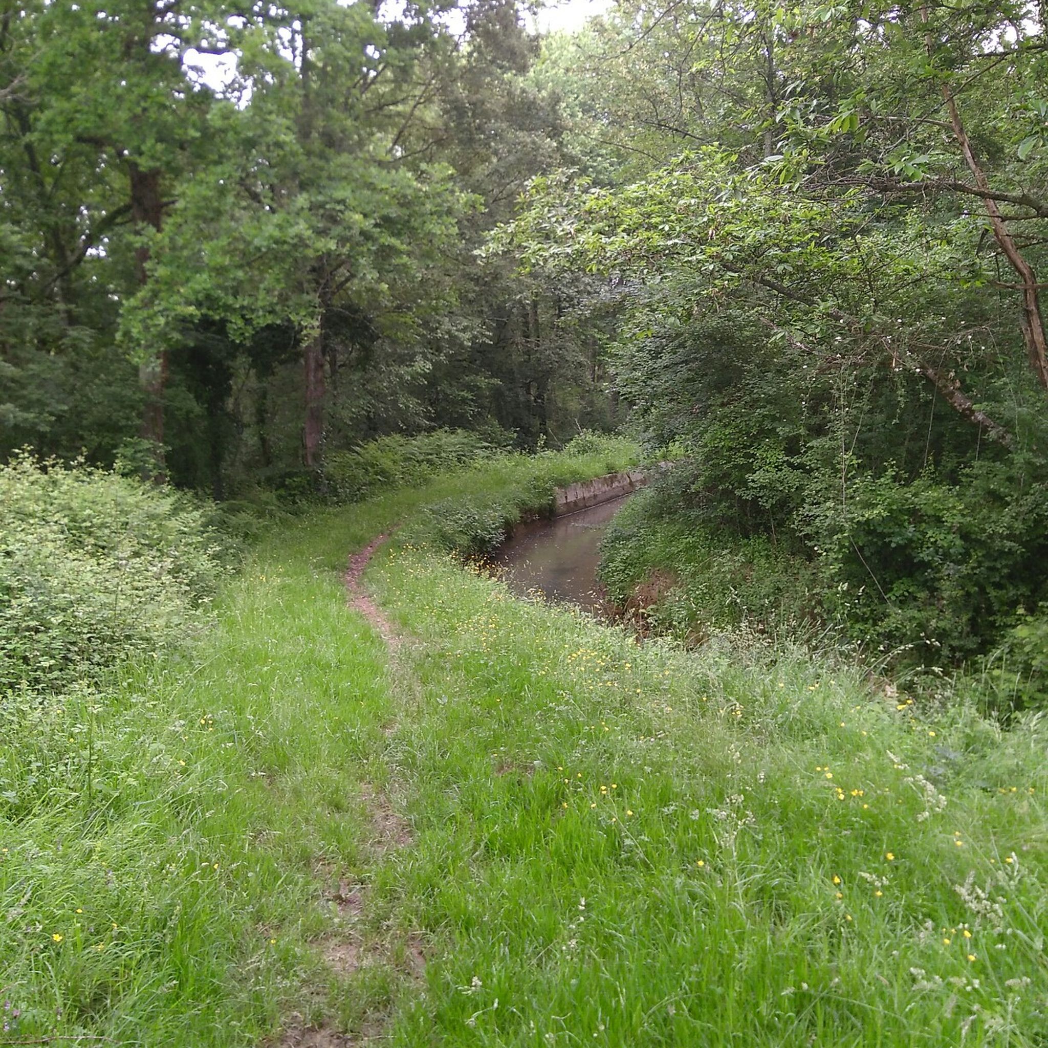
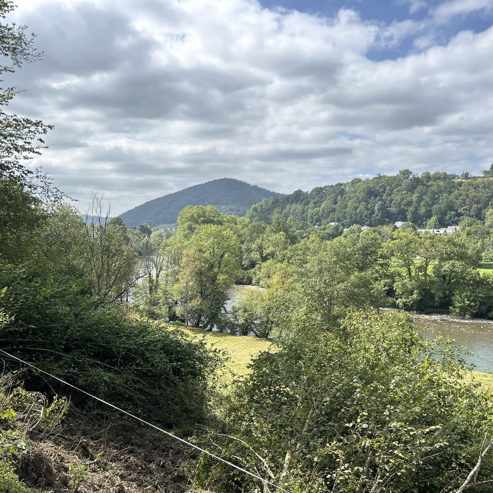
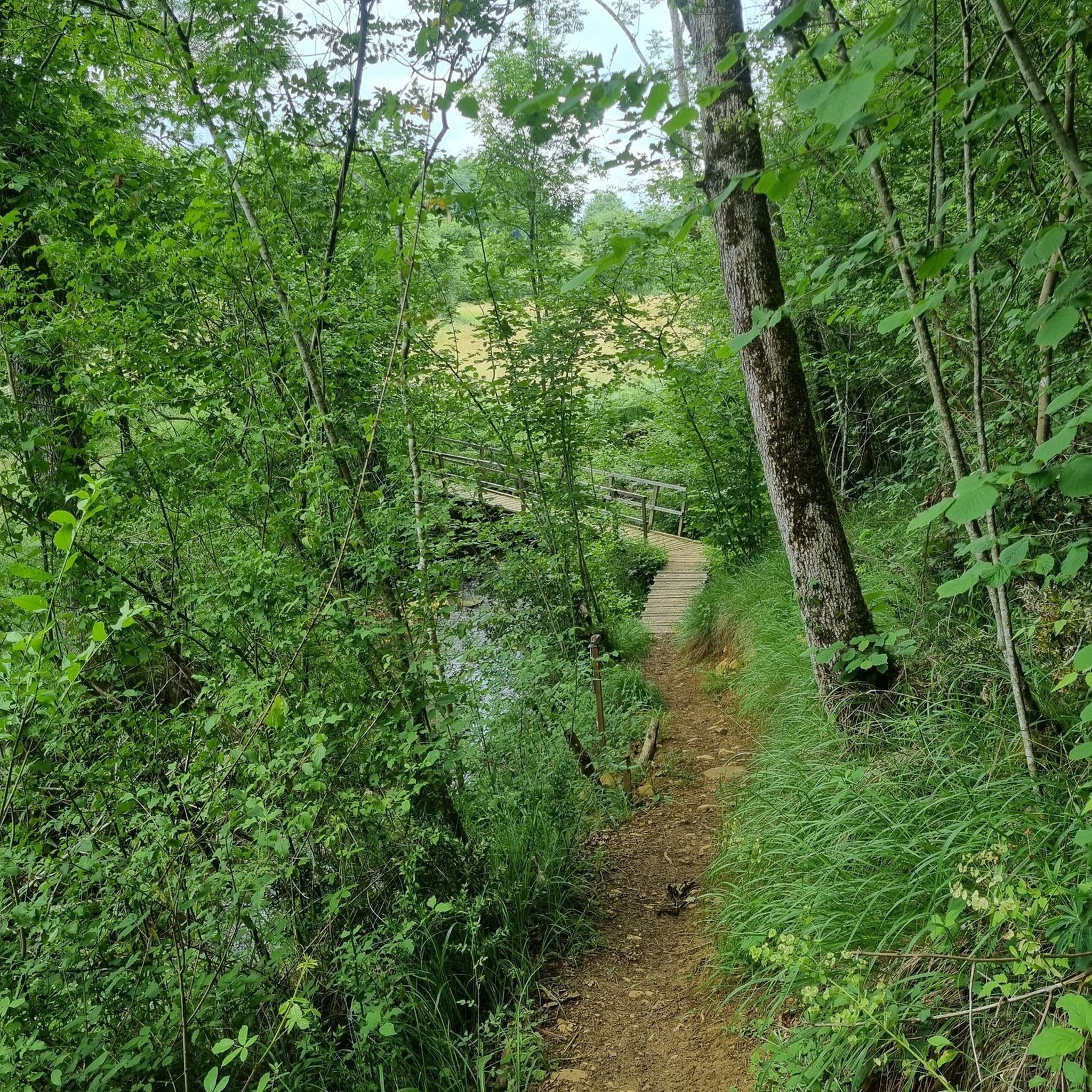
타르브 주변의 다른 모험

커뮤니티 팁

For your information, historically this was the arrival station for the cable car. It operated until the installation of the television and radio relay. After a storm, it's not uncommon for the relay to go into standby mode. TDF has a contract that runs from Monday to Friday. In case of a power outage, the weekend is reserved for reading or playing board games.
0
0

nice relaxing hike (down the mountain) not far from Lourdes
0
0
hike to do in dry weather, with a magnificent view of the Pic du Jer at the summit
0
0


The Jer peak peaks at 948 meters, overlooking the emblematic city of Lourdes. Also accessible by funicular, it offers a superb view of the city and its valley.
1
0

Magnificent view over the plain and the Gaves valley. On the other hand, it is not an old luxury hotel at the top, but the old cable car station. There is indeed a project to transform it into a shelter, but the funding is not forthcoming.
1
0

Magnificent viewpoint once at the top but DO NOT take the route that leaves from Parking Boissarie!! From the old cable car down to the river the hiking trail no longer exists. No choice but to go down but in the middle of brambles, nettles and a few slips. As the old hiking trail is no longer maintained, it has become dangerous. With the "good" surprise of coming face to face with hunters...
2
0
This is BY FAR the WORST route I have ever walked there. This so-called "walking path" is a 10 cm narrow dirt furrow that the cows use. What I have never had before is that a path is drawn that is qua non-existent. I was standing in front of a rocky cliff while descending and had two options 1. Call a helicopter 2. Somehow get down there without sustaining life-threatening injuries. I then slid almost 20 meters down the slope with my butt first. It should be mentioned in passing that the remaining “paths” are completely overgrown with nettles, small fir trees and other thorny plants. I cut myself EVERYTHING and can only hope I don't end up in the hospital with a tetanus infection. Please, please people, AVOID this route at ALL costs.
5
1
타르브 주변에서 가장 인기 있는 명소


더 살펴보기
다른 지역의 최고의 산악 하이킹 & 경로를 살펴보세요.
