비스바덴 최고의 등산 경로
5.0
(1)
8
등산객
8
하이킹
비스바덴에서 하이킹하며 다름슈타트 지구 구석 부분까지 살펴볼까요? 비스바덴에 있는 모든 하이킹 및 워킹 경로 컬렉션 중 가장 멋진 하이킹 경로를 엄선하여 소개해드릴게요. 다른 하이커가 공유한 실제 팁과 사진을 살펴보고 후기를 읽으며 마음에 드는 비스바덴 워킹 경로를 찾아보세요.
마지막 업데이트: 9월 4, 2026
2
등산객
8.35km
02:21
180m
180m
보통 등산 코스. 좋은 체력 필요. 실력과 관계없이 누구나 쉽게 갈 수 있는 길.
12.7km
03:43
340m
340m
보통 등산 코스. 좋은 체력 필요. 대부분 갈 수 있는 길. 미끄러지지 않게 조심해야 함.

무료 회원 가입
2
등산객
11.9km
03:28
310m
310m
보통 등산 코스. 좋은 체력 필요. 실력과 관계없이 누구나 쉽게 갈 수 있는 길.
1
등산객
3.63km
01:05
110m
110m
초급용 등산 경로. 모든 체력 수준에 적합. 실력과 관계없이 누구나 쉽게 갈 수 있는 길.
1
등산객
10.2km
03:06
350m
350m
보통 등산 코스. 좋은 체력 필요. 실력과 관계없이 누구나 쉽게 갈 수 있는 길.
5.52km
01:41
180m
180m
보통 등산 코스. 모든 체력 수준에 적합. 대부분 갈 수 있는 길. 미끄러지지 않게 조심해야 함.
1
등산객
12.8km
03:42
340m
340m
보통 등산 코스. 좋은 체력 필요. 실력과 관계없이 누구나 쉽게 갈 수 있는 길.
5.0
(1)
1
등산객
14.1km
04:20
500m
500m
보통 등산 코스. 좋은 체력 필요. 대부분 갈 수 있는 길. 미끄러지지 않게 조심해야 함.
투어 추천은 다른 사람들이 komoot에서 완료한 수천 개의 활동을 바탕으로 구성되어 있습니다.
오늘 무료 계정으로 시작하세요
다음 모험이 기다리고 있어요.
로그인 또는 가입하기
비스바덴 주변 인기 장소
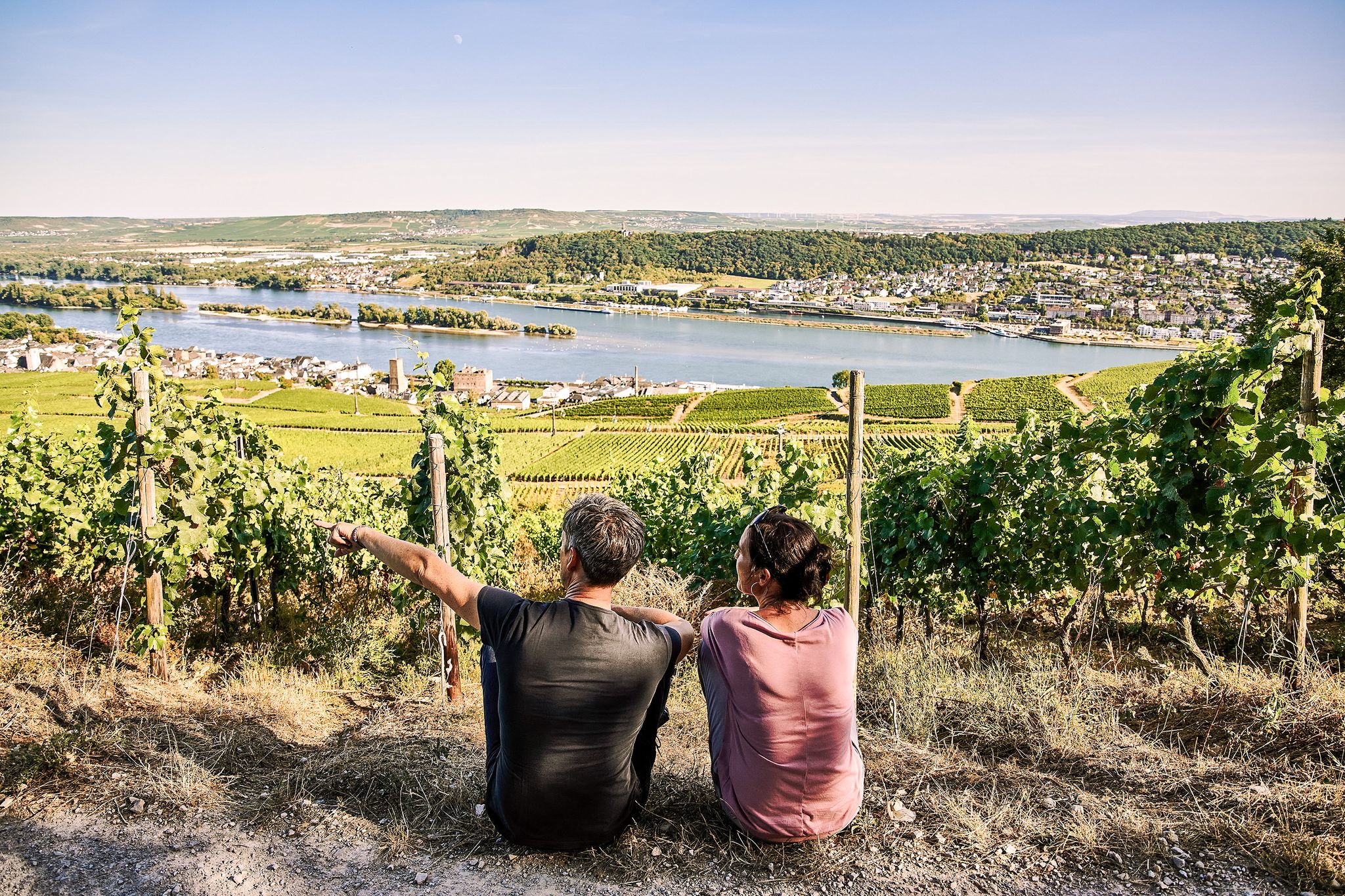
Riesling Loops – 14 routes rich in wine and history

Spring is here – hiking with family by bus & train in Rhine-Main
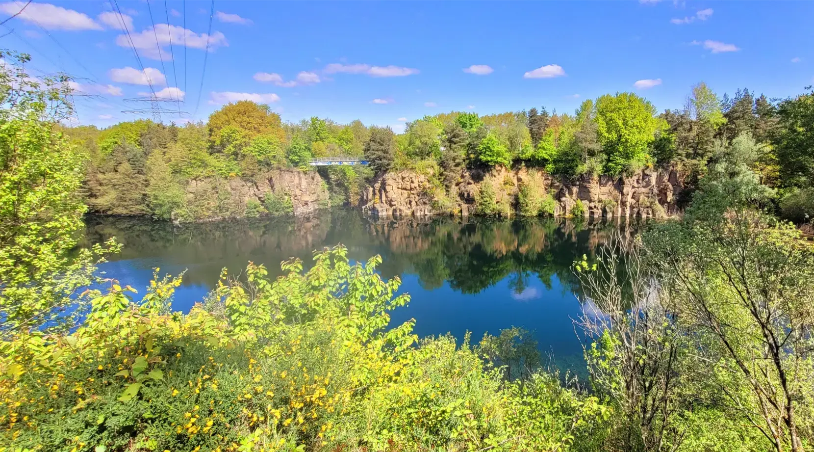
Stadt aus, Natur an im Rhein-Main-Gebiet – Mit Magnesium-Diasporal®
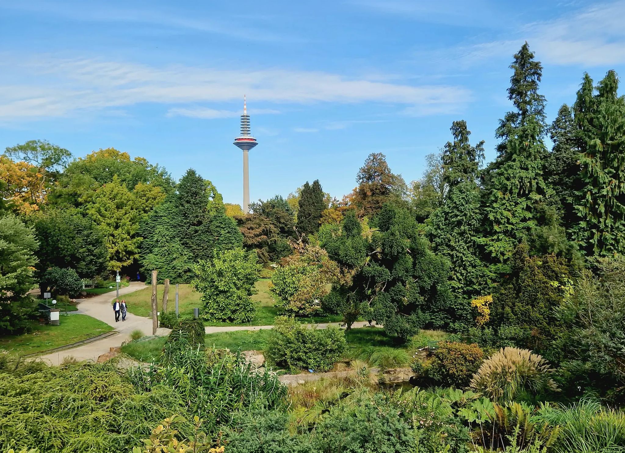
Einfach durch Wiesbaden, Mainz, Darmstadt und Frankfurt am Main
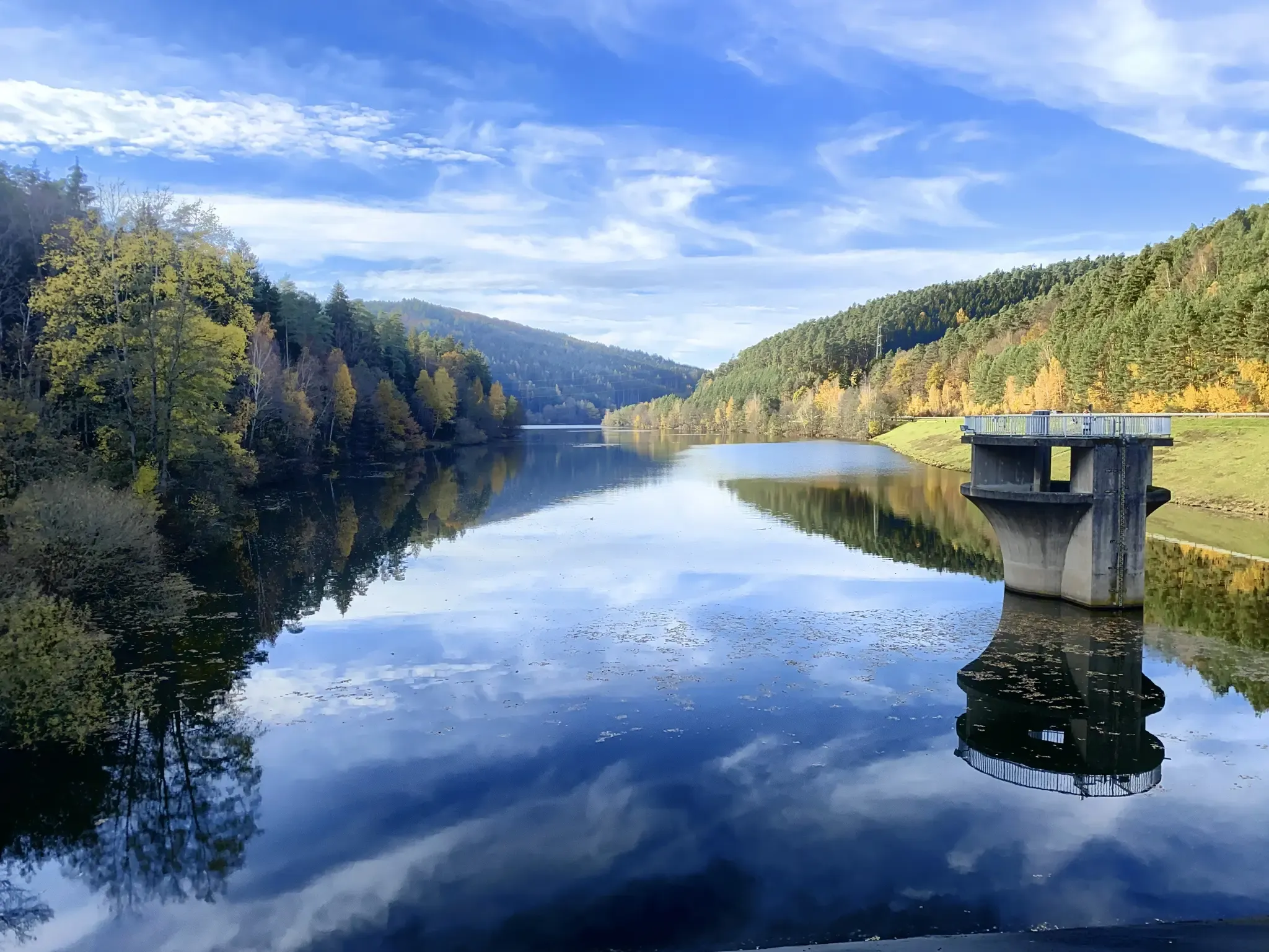
Mit Rosbacher auf Tour im Rhein-Main-Gebiet
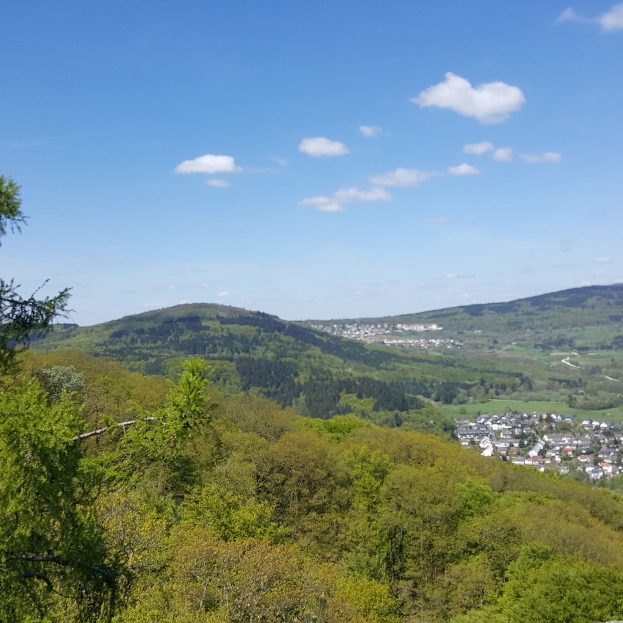
비스바덴 하이킹
비스바덴 사이클링
비스바덴 러닝 트레일
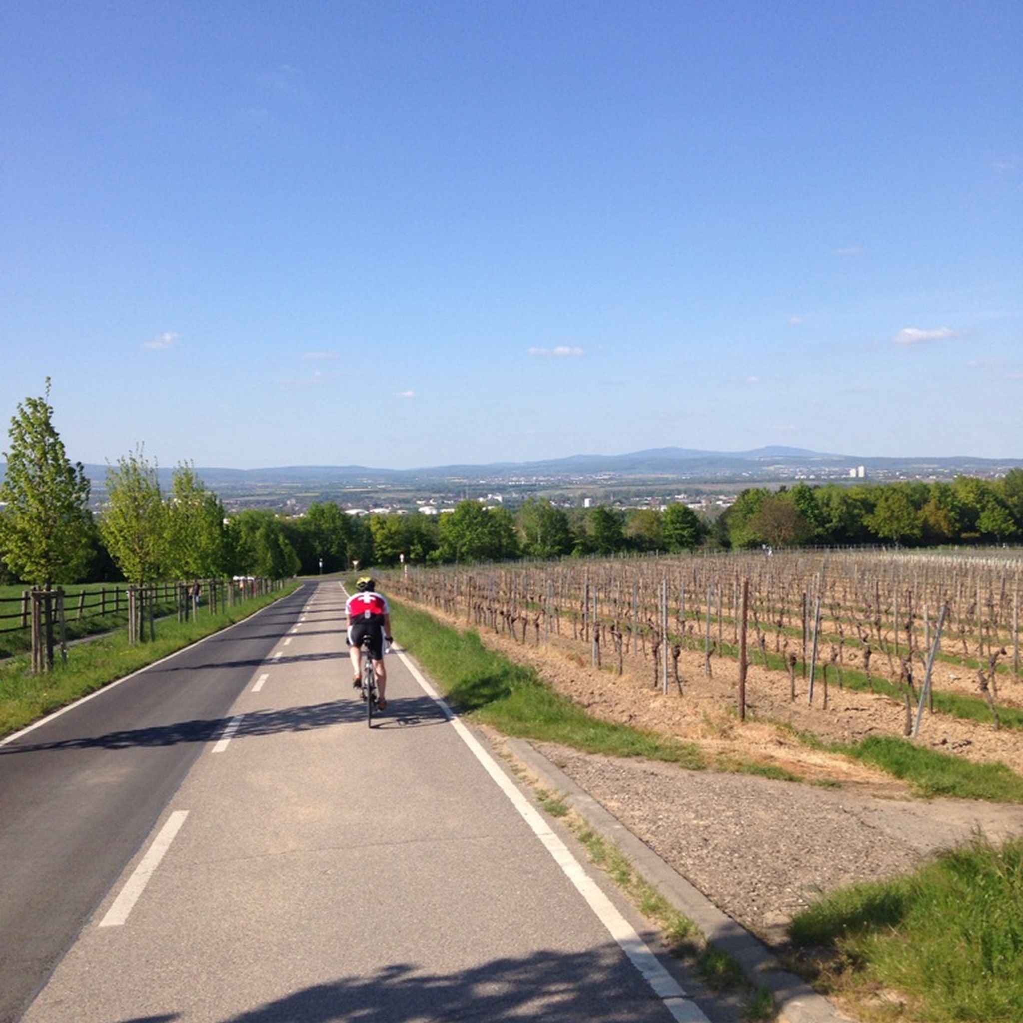
비스바덴 로드 사이클링 경로
비스바덴 MTB 트레일
비스바덴 주변의 다른 모험


커뮤니티 팁


„Alte Burg“ 정착지내부의 정착지는 후기 할슈타트기부터 초기 라텐기까지 거슬러 올라가며, 기원전 600년에서 450년 사이에 켈트족이 거주했습니다. 헤센 고고학(Hessen-Archäologie)과 같은 기관의 최근 고고학적 조사에 따르면, 이곳에는 나무와 진흙으로 지어진 토착 가옥들이 있었던 인공적으로 조성된 평평한 테라스가 있었습니다. 연구자들은 10명에서 100명 사이의 작은 공동체가 이곳에 영구적으로 거주했다고 추정합니다. 장소 선택은 전략적으로 매우 뛰어났습니다. 로르스바흐 계곡(Lorsbachtal)은 이미 철기 시대에 타우누스 산맥을 통과하는 중요한 교통로 역할을 했으며, 주변에는 귀중한 철광석 매장지가 있었습니다. 또한, 현재의 삼림이 없었을 때는 크론베르크 근처 알트쾨니히(Altkönig)의 강력한 환호 주변으로 직접적인 시야가 확보되어, 연기 및 불 신호 전달을 가능하게 했을 것으로 추정됩니다. 한편, 이곳 위쪽에는 사냥꾼이 그의 높은 좌석을 설치했으며, 그는 이 역사적인 장소에 야생 동물을 배치하고 있습니다
15
1
산 능선의 정상은 타원형의 주성으로 둘러싸여 있습니다. 원래 이곳은 나무 기둥으로 지지된 거대한 돌과 흙으로 된 벽이었으며, 고지대 정착지에 보호를 제공했습니다. 오늘날 이 구조물은 눈에 띄게 인식 가능한, 식물로 뒤덮인 흙더미로 지형에 보입니다.
15
0
산 능선이 한쪽으로 완만하게 안장으로 이어지고 그곳에서부터 특히 공격하기 쉬웠기 때문에 켈트족은 약 130미터 길이의 추가적인 전방 방벽을 세웠습니다. 이것은 인공적인 장벽처럼 안장을 완전히 차단했습니다.
15
0
The tower at the ringfort stands at the top of a meadow slope northwest of Lorsbach. From there, one has a panoramic view over Lorsbach and the Lorsbach Valley. The tower takes its name from the Alteburg rampart located further up the hilltop. The wooden tower is 8.60 meters high. The viewing platform is at a height of 4.50 meters. The tower and the surrounding area are owned by the Lorsbach Local History Society. It was built according to plans by the late society member Emanuel Winkelmann. The tower was inaugurated on December 18, 2005. The tower at the ringfort is a popular destination for hikers and walkers. It is also easily accessible from Langenhain and Eppstein via hiking trails. The shortest route there leads from Lorsbach along the Alteburgweg trail.
14
1
Many of you probably know the Gimbach estate primarily as a popular destination for day trips, complete with a fantastic playground, a tractor for climbing, horses, paddocks, and orchards. But the Gimbach estate is much more than that. It's a historically significant site in Kelkheim, likely the location of the first church in what is now the town of Kelkheim. The name Gimbach comes from the word "Gyn," derived from the male name "Ginno." The Gynnenbach stream, which originates in the Johannesborn spring about 400 meters south of the Gimbach estate, was first documented in 1287 in connection with a chapel dedicated to St. John. Since the "Roteldisstein," a 7th-century gravestone, was discovered at this location in 1868—600 years later—it is believed that a church building with a churchyard existed there as early as the Merovingian period. It was likely an early medieval baptismal church dedicated to John the Baptist.
14
0


더 살펴보기
다른 지역의 최고의 산악 하이킹 & 경로를 살펴보세요.
