지역 공원 몬티 루크레틸리 주변 최고의 폭포 하이킹 & 워킹 코스
4.4
(2330)
8,718
등산객
46
하이킹
지역 공원 몬티 루크레틸리 주변의 엄선된 폭포 하이킹과 워킹 코스를 통해 경이로운 자연을 경험하세요. 시원하게 떨어지며 장관을 이루는 폭포부터 조용히 흘러가는 귀여운 시냇물까지, 폭포가 있는 지역 공원 몬티 루크레틸리 주변 최고의 하이킹 트레일을 살펴보세요.
마지막 업데이트: 7월 7, 2026
3.9
(7)
12
등산객
19.5km
06:35
790m
780m
어려운 하이킹. 우수한 체력 필요. 튼튼한 신발을 신고 미끄러지지 않게 조심해야 하며, 높은 산을 오른 경험이 있어야 함.
3.8
(6)
26
등산객
9.21km
02:49
300m
300m
보통 하이킹. 좋은 체력 필요. 실력과 관계없이 누구나 쉽게 갈 수 있는 길.

무료 회원 가입
5.0
(4)
24
등산객
29.4km
09:40
1,240m
1,240m
어려운 하이킹. 우수한 체력 필요. 대부분 갈 수 있는 길. 미끄러지지 않게 조심해야 함.
4.0
(5)
13
등산객
5.04km
01:40
240m
240m
초급용 하이킹. 모든 체력 수준에 적합. 실력과 관계없이 누구나 쉽게 갈 수 있는 길.
3.0
(3)
11
등산객
13.4km
04:58
550m
550m
보통 하이킹. 좋은 체력 필요. 대부분 갈 수 있는 길. 미끄러지지 않게 조심해야 함.
더 다양한 경로와 다른 탐험가들의 추천을 살펴보세요.
무료 회원 가입
이미 komoot 계정이 있나요?
투어 추천은 다른 사람들이 komoot에서 완료한 수천 개의 활동을 바탕으로 구성되어 있습니다.
오늘 무료 계정으로 시작하세요
다음 모험이 기다리고 있어요.
로그인 또는 가입하기
지역 공원 몬티 루크레틸리 주변 인기 장소
지역 공원 몬티 루크레틸리 주변의 다른 모험

커뮤니티 팁


Flat spot before the ascent of Monte Gennaro
0
0

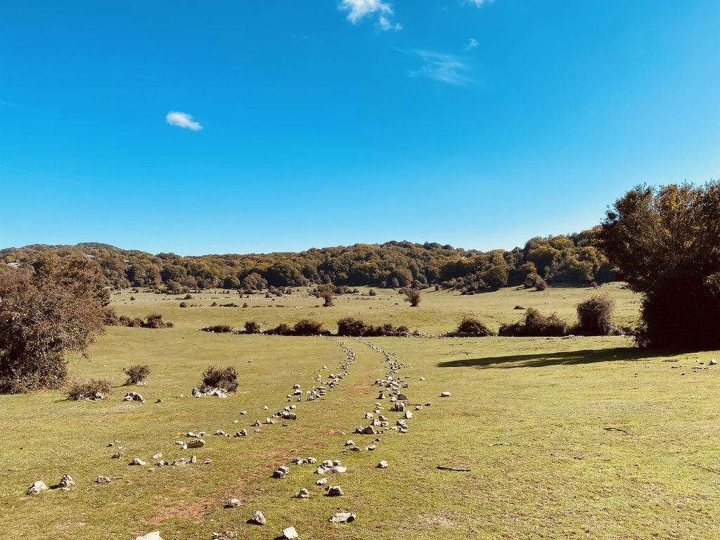
Suggestive to say the least, very low grass and populated by cows and horses. An excellent refreshment point before the summit!
0
1
Pratone landmark. Unfortunately for the conditions in which it concerns, full of manure and plastic.
0
0
Path to Pratone and Monte Gennaro, very well laid out and easy to follow. The path to Mount Morra is currently closed by a gate so conditions are uncertain. In the woods, pay attention to the path called "L Uva Spina" which connects the meadow to the Falicchio meadow. It is very well marked with BLUE CIRCLES rather than the classic white and red trail markers.
0
1

"This farmhouse may have been a typical agricultural residence and it seems to have undergone various vicissitudes over the centuries. During the period of the agrarian reform, part of its land was redistributed, while in more recent times it has seen progressive abandonment and degradation. The name "Burned" could derive from war events or fires that damaged its structure in the past. Today the site represents an example of rural architecture and offers ideas for the historical and tourist valorization of the area." (to check)!
0
0

Centuries-old elephant-shaped tree
0
0
지역 공원 몬티 루크레틸리 주변에서 가장 인기 있는 경로
지역 공원 몬티 루크레틸리 주변에서 가장 인기 있는 명소


더 살펴보기
다른 지역의 최고의 하이킹를 살펴보세요.
