시온 주변 최고의 폭포 하이킹 & 워킹 코스
4.6
(5466)
45,681
등산객
6
하이킹
폭포 하이킹 트레일은 론 계곡(Rhône Valley)에 자리 잡고 있으며 알프스 산맥과 광활한 포도밭으로 둘러싸여 있습니다. 이 지역은 비스(bisses)라고 알려진 역사적인 관개 수로를 따라 이어지는 완만한 길부터 숲을 통과하고 더 높은 고도로 올라가는 도전적인 코스까지 다양한 지형을 특징으로 합니다. 자연 경관으로는 인상적인 암석 지형과 수정처럼 맑은 수역이 있어 탐험을 위한 다채로운 풍경을 제공합니다.
시옹 주변 최고의 폭포 하이킹 트레일
- 가장 인기 있는 폭포 하이킹 코스는 겔텐바흐 폭포 – 라우에넨 호수에서 출발하는 폭포 전망 루프로, 5.3마일(8.5km) 길이이며 완료하는 데 3시간 38분이…
마지막 업데이트: 10월 10, 2026
4.9
(56)
388
등산객
8.46km
03:38
660m
660m
보통 하이킹. 좋은 체력 필요. 대부분 갈 수 있는 길. 미끄러지지 않게 조심해야 함.
4.7
(6)
195
등산객
9.45km
03:47
690m
690m
보통 하이킹. 좋은 체력 필요. 대부분 갈 수 있는 길. 미끄러지지 않게 조심해야 함.

5.0
(2)
41
등산객
17.5km
08:52
1,610m
1,610m
어려운 하이킹. 우수한 체력 필요. 튼튼한 신발을 신고 미끄러지지 않게 조심해야 하며, 높은 산을 오른 경험이 있어야 함.
14
등산객
17.6km
06:30
1,080m
1,080m
어려운 하이킹. 우수한 체력 필요. 실력과 관계없이 누구나 쉽게 갈 수 있는 길.
5.0
(8)
103
등산객
16.2km
05:49
820m
820m
어려운 하이킹. 우수한 체력 필요. 대부분 갈 수 있는 길. 미끄러지지 않게 조심해야 함.
투어 추천은 다른 사람들이 komoot에서 완료한 수천 개의 활동을 바탕으로 구성되어 있습니다.
오늘 무료 계정으로 시작하세요
다음 모험이 기다리고 있어요.
시온 주변 인기 장소

앉다 주변 폭포 하이킹 코스
발레의 신성한 물 - 르 슈민 데 비세
우리아 포를이 이미지 일자리 - Sanetsch-Muveran-Weg 제도 선랑
Endless mountain panoramas – themed hikes in Switzerland’s Valais
The closest place to the sun in Switzerland – multiday Tours in Valais
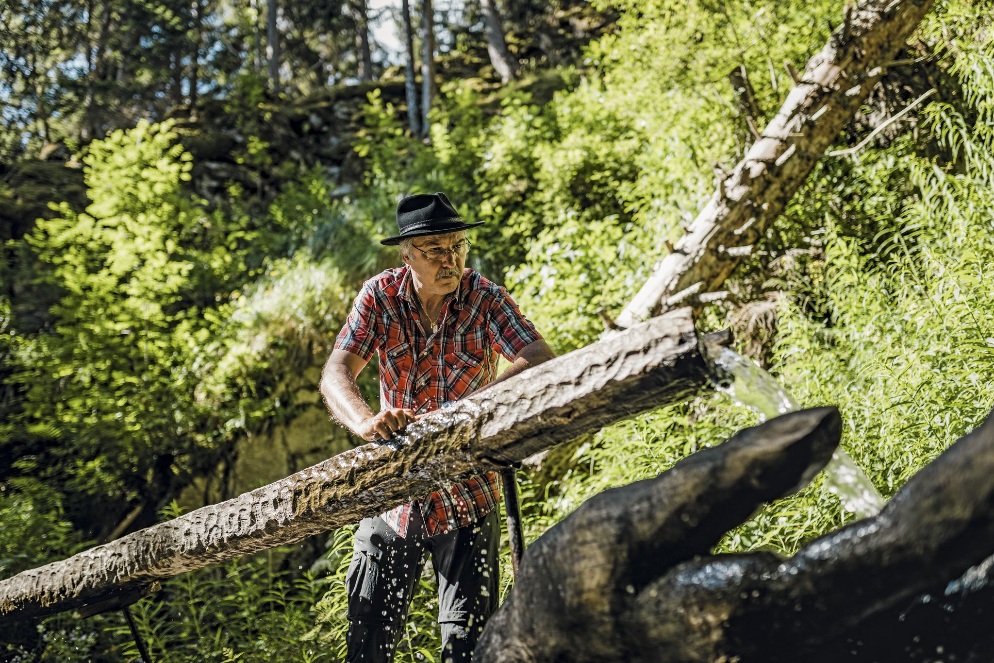
Liquid gold from Nendaz-Veysonnaz
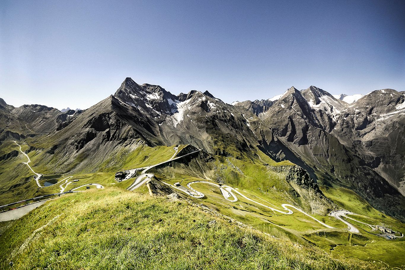
Three Peaks Bike Race — 비엔나에서 니스

Every cycling trip is a little holiday – bike to work Challenge 2026
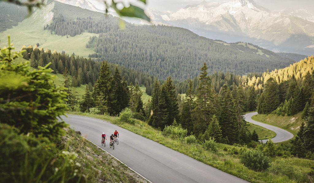
"Coop Ride the Alps"— a spectacular cycling experience

20 Schweizer Städte, 20 Laufstrecken – Laufen nach Plan mit Atupri
시온 주변의 다른 모험


커뮤니티 팁

The Réchy Valley is a listed natural site of national importance. It has been listed in the Federal Inventory of Landscapes, Sites, and Monuments (IFP) since 1998. This guarantees a very high level of protection to preserve its flora and fauna intact. By taking the Bisse de Vercorin, you can discover all the wonders of this nature reserve.
0
0

beautiful well maintained
0
0

The Tungelschuss waterfall plunges roaring water from the Tungelbach stream over several cascades into the depths – particularly spectacular after snowmelt. The viewing point on the western shore of Lake Lauenen, about 400m from the parking lot, offers a clear view of the waterfall – often accompanied by a loud roar. 🥾 Hike & Access Access: From the parking lot at Lake Lauenen, a well-marked hiking trail takes about 5–10 minutes to the observation point. A popular circular hike (approximately 9–12km, 3–5 hours) connects Lake Lauenen, Tungelschuss, Geltenschuss, and the Geltenhütte SAC – a moderately difficult hike with an elevation gain of around 700m. 📌 Facts at a Glance Altitude approx. 1430m above sea level. M. Distance from the parking lot to the waterfall observation point: approx. 400 m Hiking route: Circular route with Geltenschuss and Geltenhütte possible Duration: Circular route: approx. 3–5 hours, moderate difficulty (T2–T3)
0
0
The hike from Lauenensee to the Geltenhütte SAC is a fantastic mountain hike with waterfalls, alpine scenery, and spectacular scenery ⛰️💧🌿. Route: Starts at the Lauenensee parking lot (CHF 15). The trail initially leads leisurely along the lake, then steadily ascends through the Gelten and Lauibach valleys. Impressive waterfalls and rock faces abound. You reach the Geltenhütte (2,002 m) after about 2.5 to 3 hours (approx. 620 m elevation gain). Highlights: ✅ Idyllic Lauenensee right at the start ✅ Wild waterfalls ✅ Quiet, well-marked mountain trail ✅ Refreshments & overnight stay at the Geltenhütte SAC 🛏️🍲 ✅ Possibility of extending the hike, e.g. B. to the Arpelistock Equipment: Sturdy hiking boots 🥾, weather protection 🧥, plenty of water & snacks 💧🥪, and possibly walking poles 🦯. In early summer, there may be patches of snow – surefootedness is required. Recommendation: Set off early in the morning ⏰, especially on warm days – the trail is exposed to the sun.
1
1

Below the highest peaks of the Bernese Alps, this path passes through a beautiful forest crossed by the Louwibach. The reflections of the sun on the trees and the stream create a magical atmosphere.
0
0

The place is called Buvette de la Lé, not Buvette du Valon de Réchy. Nice place, very friendly service.
0
0

Attention: The last 100 mUp from Sanetsch are T4
0
0
자주 묻는 질문
시옹 주변에는 다양한 경험을 제공하는 여러 전용 폭포 하이킹 트레일이 있습니다. Komoot에는 폭포를 특별히 강조하는 6개의 루트가 있으며, 중간 난이도부터 어려움까지 다양하여 지역의 자연의 아름다움을 탐험할 수 있습니다.
시옹 주변에는 어떤 폭포 하이킹 트레일이 있나요?
나열된 폭포 하이킹은 중간 난이도에서 어려운 편이지만, 시옹 지역에는 역사적인 <em>비쓰</em>(관개 수로)를 따라가는 등 가족에게 일반적으로 적합한 더 쉬운 경로가 많이 있습니다. 이러한 경로는 완만한 경사와 독특한 문화 체험을 제공하지만 항상 주요 폭포로 직접 이어지지는 않을 수 있습니다. 중간 난이도 옵션으로는 <a href="https://www.komoot.com/ko-kr/smarttour/38369896" target="_blank" rel="noopener">겔텐바흐 폭포 – 라우엔제에서 바라본 폭포 루프</a>가 인기 있는 선택이지만, 가족의 편안함을 위해 8.5km 거리와 고도 상승을 평가해 보세요.
시옹 근처에 가족 친화적인 폭포 하이킹이 있나요?
시옹 주변의 많은 발레(Valais) 지역 트레일은 개와 함께 하이킹하기 좋습니다. 하지만 특히 보호 구역, 가축 근처 또는 붐비는 길에서는 항상 개를 목줄에 매는 것이 좋습니다. 애완동물을 위한 물을 항상 휴대하고 현지 규정을 준수하십시오. <a href="https://www.komoot.com/ko-kr/smarttour/1499993" target="_blank" rel="noopener">퉁겔슈스 폭포 – 라우엔제에서 겔텐바흐 폭포 루프</a>는 다양한 풍경을 제공하며 반려견과 함께 중간 난이도 하이킹을 즐기기에 좋은 옵션입니다.
시옹에서 폭포 하이킹 시 개를 데려갈 수 있나요?
시옹 주변의 폭포를 방문하기 가장 좋은 시기는 일반적으로 늦봄과 초여름(5월~7월)으로, 주변 알프스의 눈이 녹아 강으로 흘러들어 가장 강력하고 인상적인 폭포를 볼 수 있습니다. 가을에는 단풍이 아름답지만 수량이 적을 수 있습니다. 겨울 하이킹은 그림 같지만 얼음 상태에 대비한 적절한 장비가 필요합니다.
시옹 근처 폭포를 방문하기 가장 좋은 시기는 언제인가요?
네, 시옹 주변의 여러 폭포 하이킹은 시작점과 끝점이 같은 순환 루트로 설계되었습니다. 예를 들어, <a href="https://www.komoot.com/ko-kr/smarttour/38369896" target="_blank" rel="noopener">겔텐바흐 폭포 – 라우엔제에서 바라본 폭포 루프</a>는 중간 난이도의 8.5km 순환 트레일입니다. 또 다른 옵션은 9.5km의 중간 난이도 루프인 <a href="https://www.komoot.com/ko-kr/smarttour/1499993" target="_blank" rel="noopener">퉁겔슈스 폭포 – 라우엔제에서 겔텐바흐 폭포 루프</a>입니다.
순환 폭포 루트가 있나요?
시옹 주변의 폭포 하이킹 트레일을 따라가면 숨막히는 론 계곡(Rhône Valley)과 알프스 풍경에 둘러싸이게 됩니다. 특정 트레일에 따라 <a href="https://www.komoot.com/ko-kr/highlight/500919" target="_blank" rel="noopener">라크 드 사네치(Lac de Sanetsch)</a>와 같은 그림 같은 호수나 역사적인 유적지를 만날 수 있습니다. 시옹 자체에는 <a href="https://www.komoot.com/ko-kr/highlight/964372" target="_blank" rel="noopener">시옹 대성당(Cathedral of Our Lady of Sion)</a>과 매력적인 <a href="https://www.komoot.com/ko-kr/highlight/964215" target="_blank" rel="noopener">시옹 구시가지(Sion Old Town)</a>와 같은 상징적인 랜드마크가 있어 하이킹 전후 탐험하기 좋습니다.
폭포 트레일 근처의 주목할 만한 랜드마크나 명소는 무엇인가요?
시옹 주변의 폭포 하이킹 트레일은 komoot 커뮤니티에서 높은 평가를 받고 있으며, 900개 이상의 리뷰에서 평균 별점 4.5점을 받았습니다. 하이커들은 극적인 알프스 주변 환경부터 고요한 계곡까지 다양한 풍경과 강력한 폭포를 발견하는 상쾌한 경험을 자주 칭찬합니다. 잘 관리된 길과 역사적인 비쓰와 같은 문화적 요소와의 조합이 자주 강조됩니다.
시옹의 폭포 하이킹에 대해 다른 하이커들이 가장 즐기는 점은 무엇인가요?
네, 도전을 추구하는 숙련된 하이커를 위한 더 어려운 폭포 루트가 있습니다. <a href="https://www.komoot.com/ko-kr/smarttour/1801915" target="_blank" rel="noopener">부베트 드 라 레(Buvette de La Lé) – 샬레(Chalais)에서 출발하는 레쉬 계곡(Réchy Valley) 루프</a>는 상당한 고도 상승이 있는 18km의 어려운 트레일로, 아름다운 레쉬 계곡을 통과합니다. 또 다른 어려운 옵션은 라우엔(Lauenen)에서 출발하는 16.2km의 <a href="https://www.komoot.com/ko-kr/smarttour/16233620" target="_blank" rel="noopener">항넨팡 조각 트레일(Hangenenfang Sculpture Trail) – 라우엔제(Lauenensee) 루프</a>입니다.
숙련된 하이커를 위한 어려운 폭포 하이킹이 있나요?
시옹은 스위스 내 대중교통으로 잘 연결되어 있습니다. 일부 트레일 시작점은 버스나 기차로 직접 접근할 수 있지만, 특히 더 외딴 알프스 지역의 다른 곳은 대중교통과 짧은 택시 또는 긴 도보를 조합해야 할 수 있습니다. 라우엔제 또는 샬레와 같은 특정 출발점으로 가는 지역 버스 시간표와 연결편을 여행 계획 전에 확인하는 것이 좋습니다. 이 지역의 일반적인 하이킹 정보는 <a href="siontourisme.ch/en/hiking" target="_blank" rel="noopener">siontourisme.ch</a>에서 확인할 수 있습니다.
폭포 하이킹 시작점까지 대중교통으로 갈 수 있나요?
주차 가능 여부는 트레일 시작점마다 다릅니다. 라우엔제 또는 샬레 근처와 같은 인기 있는 출발점에는 종종 지정된 주차장이 있지만 성수기에는 빨리 찰 수 있습니다. 일부 작은 트레일 시작점에는 제한된 도로변 주차 공간이 있을 수 있습니다. 항상 현지 표지판에서 주차 규정 및 요금을 확인하십시오. 주차 어려움을 피하려면 일찍 도착하거나 가능한 경우 대중교통을 이용하는 것을 고려하십시오.
시옹 근처 폭포 트레일 주차는 어디서 할 수 있나요?
시옹 주변의 폭포 하이킹 지형은 지역의 다양한 풍경을 반영하여 다양합니다. 비쓰를 따라 잘 관리된 자갈길부터 더 높은 알프스 지역의 거칠고 바위가 많은 구간까지 다양한 길을 예상할 수 있습니다. 숲길, 탁 트인 초원, 때때로 가파른 오르막과 내리막이 일반적입니다. 트레일은 종종 인상적인 암석 지형을 특징으로 하며 론 계곡과 주변 산의 탁 트인 전망을 제공합니다.
시옹 주변 폭포 하이킹 시 어떤 종류의 지형을 예상할 수 있나요?
인기 있는 트레일은 붐빌 수 있지만, 18km의 <a href="https://www.komoot.com/ko-kr/smarttour/1801915" target="_blank" rel="noopener">부베트 드 라 레(Buvette de La Lé) – 샬레(Chalais)에서 출발하는 레쉬 계곡(Réchy Valley) 루프</a>와 같이 더 길거나 더 어려운 루트를 탐험하면 더 한적한 경험을 할 수 있습니다. 또한, 평일에 하이킹하거나 성수기(7월-8월) 외에 하이킹하면 군중을 피하고 폭포의 고요함을 즐길 수 있습니다.
시옹 근처에 덜 붐비는 폭포 하이킹이 있나요?
시옹 주변의 폭포 하이킹 기간은 트레일의 길이와 난이도에 따라 크게 달라집니다. 11.5km인 <a href="https://www.komoot.com/ko-kr/smarttour/27792571" target="_blank" rel="noopener">올덴바흐 폭포(Oldenbach Waterfall) – 레쉬 탈슈타티온(Reusch Talstation)에서 출발하는 올데네그(Oldenegg) 루프</a>와 같은 중간 난이도 루트는 약 4~5시간이 소요될 수 있습니다. 18km의 <a href="https://www.komoot.com/ko-kr/smarttour/1801915" target="_blank" rel="noopener">부베트 드 라 레(Buvette de La Lé) – 샬레(Chalais)에서 출발하는 레쉬 계곡(Réchy Valley) 루프</a>와 같은 더 어렵고 긴 트레일은 완료하는 데 6~7시간 이상 걸릴 수 있습니다.
시옹 주변 폭포 하이킹은 보통 얼마나 걸리나요?
시온 주변에서 가장 인기 있는 명소


찾고 계신 것을 찾지 못하셨나요?
시온에서 더 많은 하이킹를 확인하고 목적지에서 완벽한 경로를 찾아보세요.
