비앙뎅 캔톤 주변 최고의 폭포 하이킹 & 워킹 코스
4.4
(19222)
78,158
등산객
1
하이킹
비앙뎅 캔톤의 엄선된 폭포 하이킹과 워킹 코스를 통해 경이로운 자연을 경험하세요. 시원하게 떨어지며 장관을 이루는 폭포부터 조용히 흘러가는 귀여운 시냇물까지, 폭포가 있는 비앙뎅 캔톤 최고의 하이킹 트레일을 살펴보세요.
마지막 업데이트: 10월 29, 2026
4.7
(95)
331
등산객
12.6km
03:42
350m
350m
보통 하이킹. 좋은 체력 필요. 쉽게 걸을 수 있는 길.
4.0
(13)
50
등산객
19.1km
05:21
370m
370m
어려운 하이킹. 우수한 체력 필요. 쉽게 걸을 수 있는 길.

3.8
(6)
16
등산객
13.2km
03:47
310m
310m
보통 하이킹. 좋은 체력 필요. 쉽게 걸을 수 있는 길.
투어 추천은 다른 사람들이 komoot에서 완료한 수천 개의 활동을 바탕으로 구성되어 있습니다.
오늘 무료 계정으로 시작하세요
다음 모험이 기다리고 있어요.
비앙뎅 캔톤 주변 인기 장소
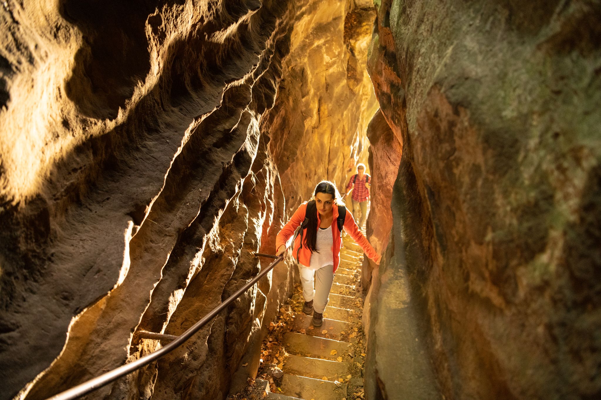
Lakes, castles and rocks – hiking in the NaturWanderPark delux
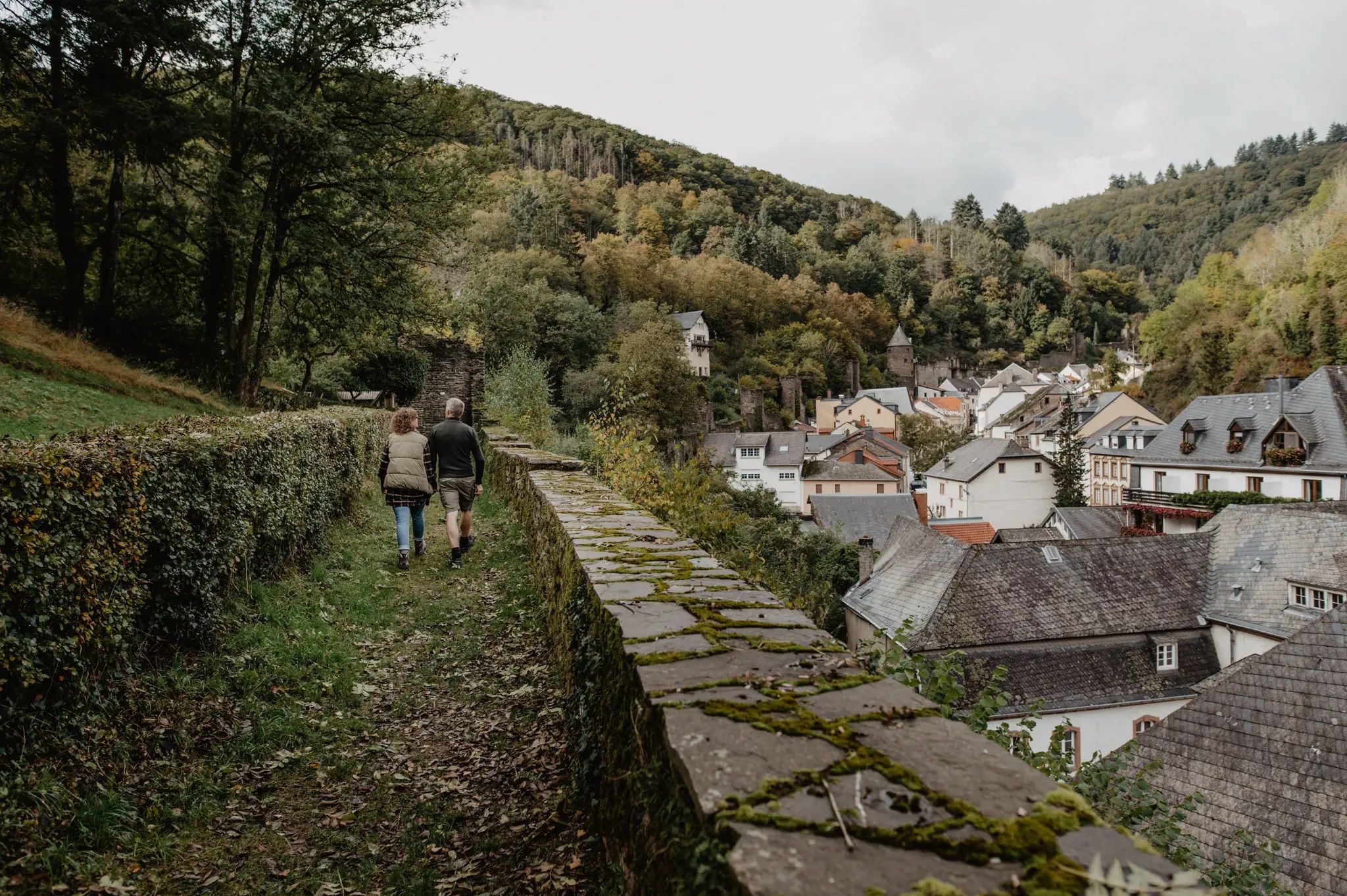
Enjoy the silence – autumn and winter hiking in Luxembourg
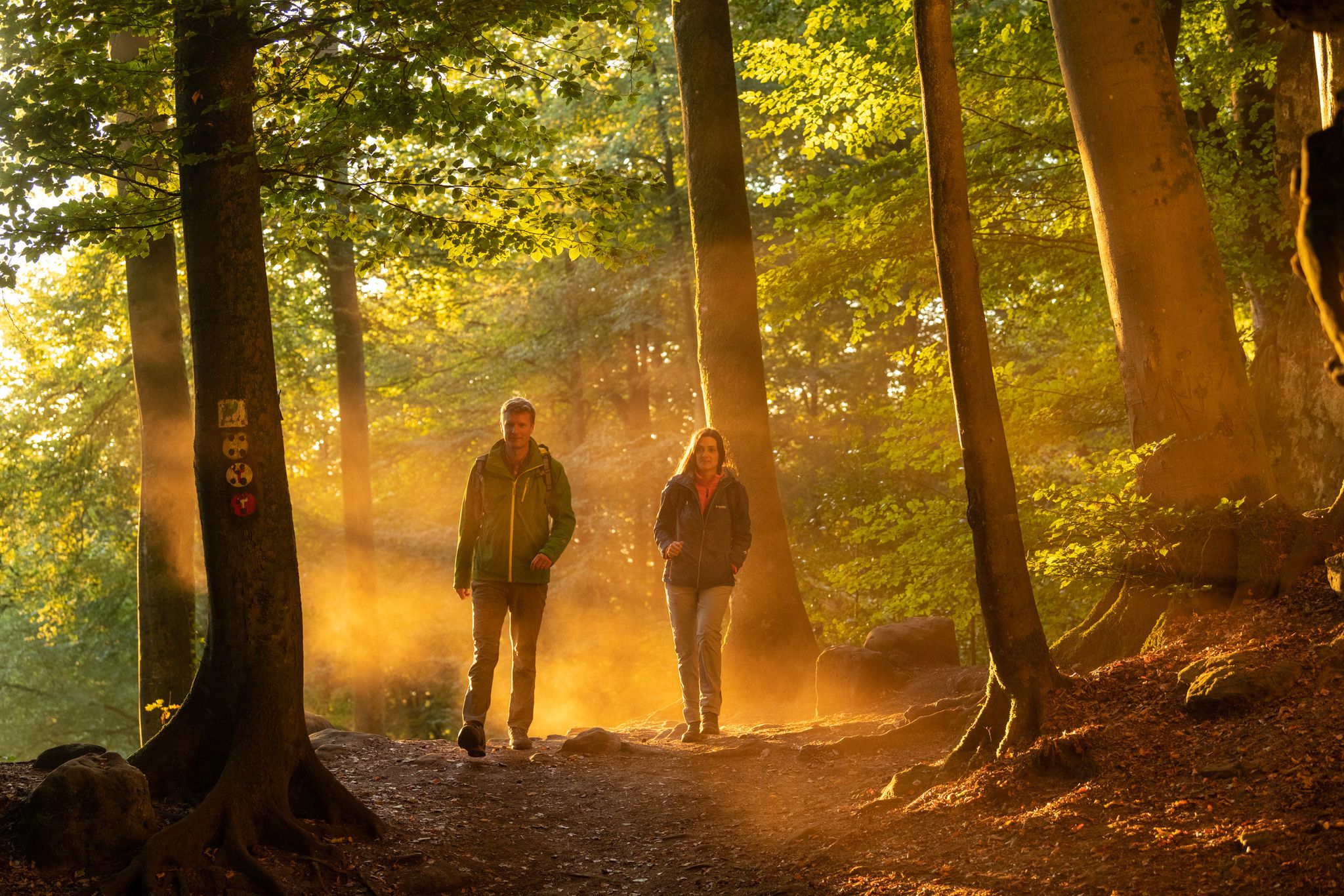
Mysterious forests and gorges — South Eifel and Luxembourg
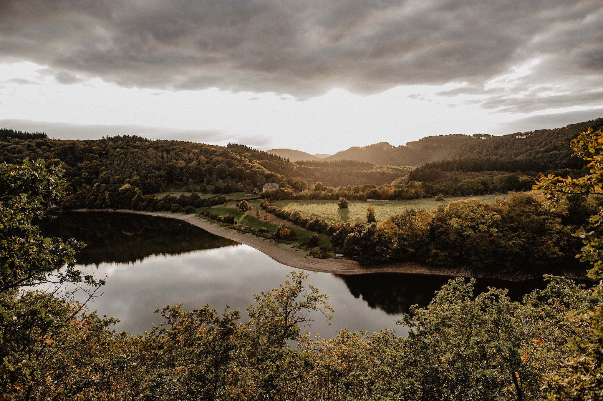
Éislek Wanderlust – The most beautiful hiking trails in the north of Luxembourg
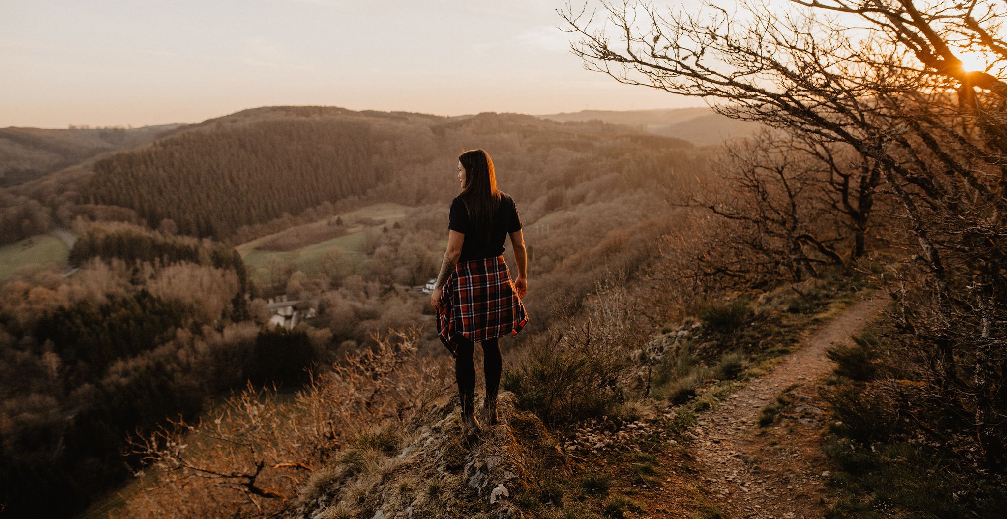
Éislek Pied - 18 top hiking trails in the north of Luxembourg
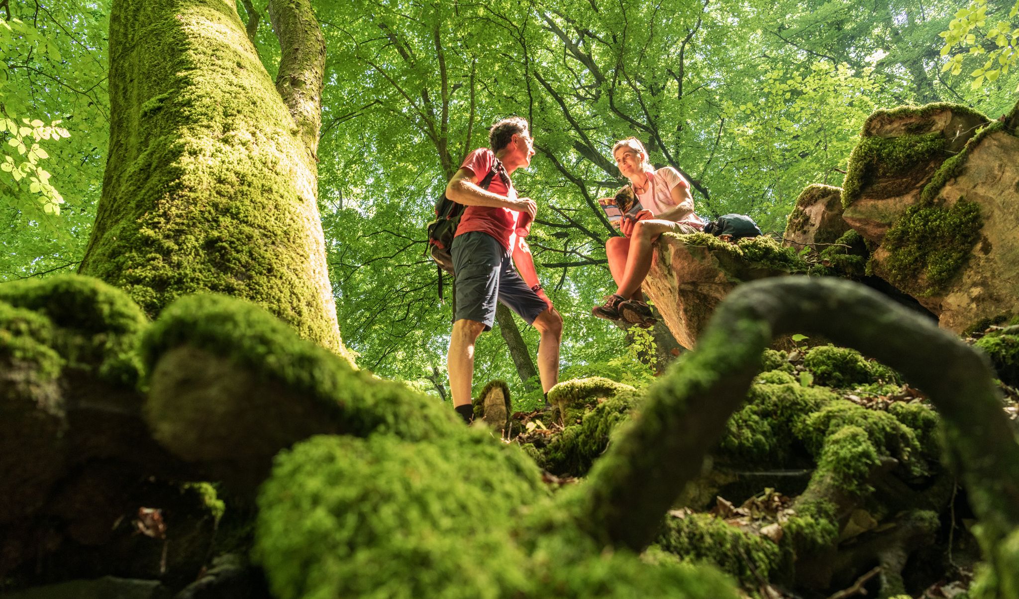
Ancient forests in the DeLux Nature Park
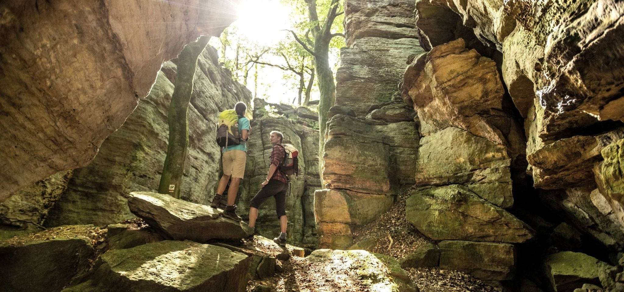
Giant trees & rocky canyons — hiking in the Southern Eifel
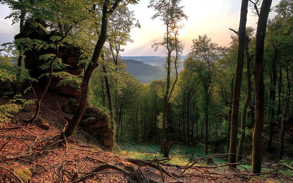
Mystical gorges and deep forests — hiking in Southern Eifel and in Luxembourg
비앙뎅 캔톤의 다른 모험


커뮤니티 팁


Stones to cross the river; be careful, it can be slippery if you don't have good shoes.
0
0

Small cave in a rock crevice, accessible from two sides.
0
0

nice relaxed hike near the road
0
0

It was fun to cross the river several times over the stones 🤩
2
0

A hike along the wildly romantic, bubbling Haupeschbaach and Halerbaach streams leads through typical V-shaped valleys. This shape is created by the weathering of the rock faces. The weathered material that falls from the rock faces covers the base of the steep sandstone cliffs with sandy and stony debris. Numerous springs emerge from the sandstone and feed the streams, so that the landscape is dominated by water, and it is pleasantly cool in the valley, even on hot summer days. Hikers can enjoy numerous small wooden bridges crossing the streams and a unique landscape of mossy rocks. The Haupeschbaach and Halerbaach stream valleys are accessible on foot from Route 3 of the Mullerthal Trail. You can also hike on the local trails W4, W5, B1, and B7.
0
0


The stones are well spaced in the water. Any hiker should be able to get across without getting wet, except when the water level rises.
8
0


