몽라우준 최고의 러닝 경로
4.5
(2)
139
달리기 하는 사람
37
러닝
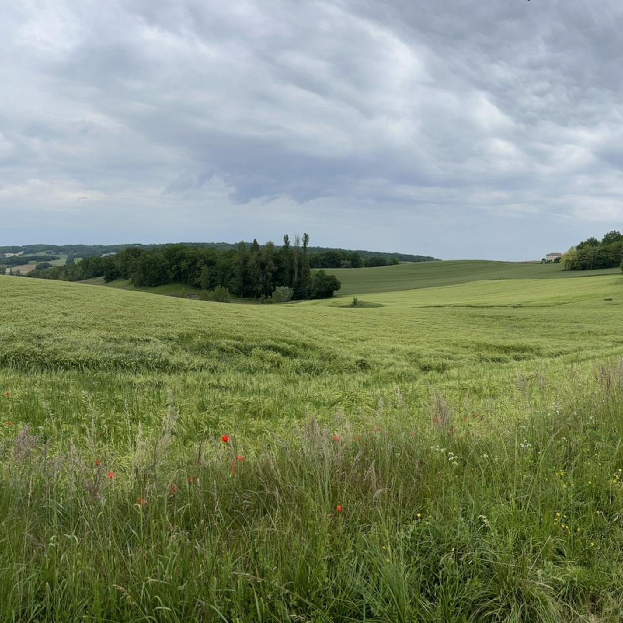
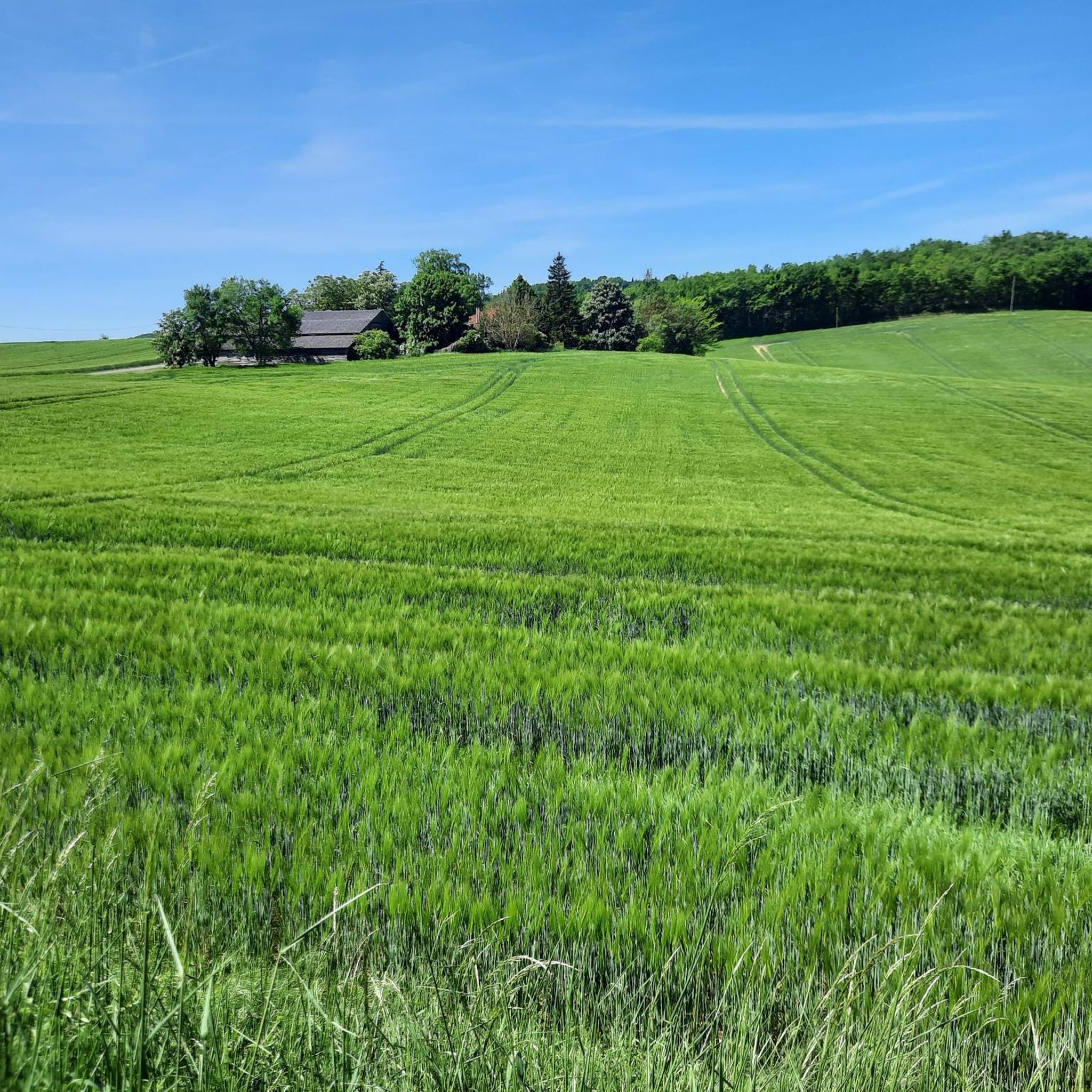
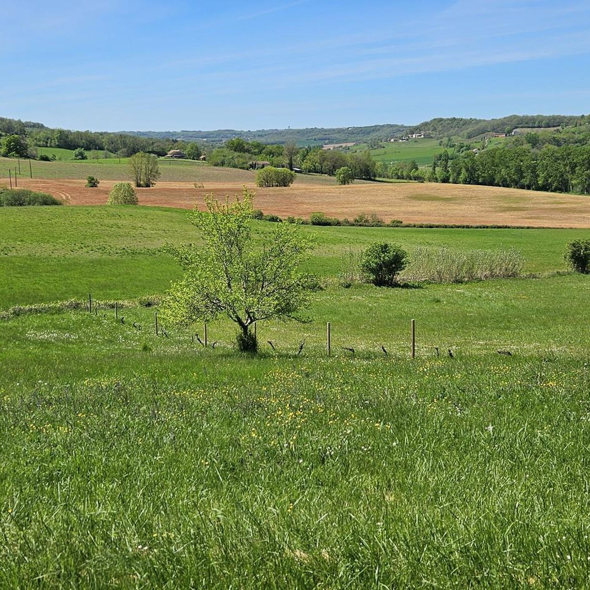
몽로잔 주변의 조깅 코스는 프랑스 남서부 로트 데파르트망의 시골 풍경을 가로지릅니다. 이 지역은 구불구불한 언덕과 다양한 지형이 특징이며, 고도는 124미터에서 250미터까지 다양하여 달리기 위한 다양한 경사를 제공합니다. 광활한 농지와 포도밭은 탁 트인 전망을 제공하며, "케르시 블랑" 지역의 독특한 흰색 석회암이 그림 같은 배경을 형성합니다. 장거리 트레일인 GR 65의 일부 구간도 달리기에 적합한 잘 관리된 길을 제공합니다.
몽로잔 최고의 조깅 코스
- 가장 인기 있는 조깅 코스는 몽퀴크 발 조깅 루프로, 6.1km(3.8마일) 길이이며 완료하는 데 42분이 걸립니다. 이 코스는 주변 시골과…
마지막 업데이트: 9월 12, 2026
4.0
(1)
15
달리기 하는 사람
9.88km
01:14
230m
230m
보통 조깅. 좋은 체력 필요. 대부분 포장된 지면. 실력과 관계없이 누구나 갈 수 있음.
10
달리기 하는 사람
29.5km
03:28
740m
730m
어려운 조깅. 우수한 체력 필요. 대부분 포장된 지면. 실력과 관계없이 누구나 갈 수 있음.

4
달리기 하는 사람
6.87km
00:49
110m
120m
보통 조깅. 좋은 체력 필요. 대부분 포장된 지면. 실력과 관계없이 누구나 갈 수 있음.
3
달리기 하는 사람
7.65km
00:49
100m
100m
보통 조깅. 좋은 체력 필요. 대부분 포장된 지면. 실력과 관계없이 누구나 갈 수 있음.
3
달리기 하는 사람
10.4km
01:10
150m
150m
보통 조깅. 좋은 체력 필요. 대부분 포장된 지면. 실력과 관계없이 누구나 갈 수 있음.
더 다양한 경로와 다른 탐험가들의 추천을 살펴보세요.
이미 komoot 계정이 있나요?
투어 추천은 다른 사람들이 komoot에서 완료한 수천 개의 활동을 바탕으로 구성되어 있습니다.
오늘 무료 계정으로 시작하세요
다음 모험이 기다리고 있어요.

커뮤니티 팁

13세기 말에 지어졌으며 1562년 화재 이후 18세기에 개조되었고, 1881년에 다시 개조된 마을 교회는 단일 신도석과 다각형 성단으로 이루어진 석조 본당을 형성합니다. 성가대석(방사형 고딕 양식)은 지붕이 있습니다. 스테인드글라스 창문은 매우 생생한 색상으로 그리스도와 성 힐라리우스의 삶을 묘사합니다.
0
0
Montcuq는 Quercy Blanc의 중심부에 풍부한 유산을 지닌 멋진 중세 마을입니다: La Tour de Montcuq: 마을을 자랑스럽게 지배하는 12세기 장엄한 돈존입니다. 툴루즈 백작의 권위 아래 12세기 말과 13세기 초 사이에 세워졌습니다. 성의 파괴: 알비 십자군 원정 중 프랑스 왕과의 조약에 따라 지역 영주는 성벽을 해체해야 했습니다. 이 주탑만이 살아남았습니다. 특징: 직사각형(또는 사다리꼴) 모양이며 독특한 나선형 계단이 있는 정사각형 탑이 있습니다. 과학적으로 이 이름은 저속한 것과는 아무 관련이 없습니다. 오크어 Moncuc에서 유래했으며, 단순히 원뿔 모양의 산 또는 요새화된 언덕을 의미합니다.
0
0
Lauzerte는 12세기 암석 돌출부에 자리 잡은 아름다운 중세 바스티드입니다. Lauzerte는 Via Podensis(르 푸앵블레의 길) 순례자들에게 꼭 들러야 할 신화적인 장소입니다. 툴루즈 백작이 설립한 이 오래된 전략적 도시는 남서부 바스티드 특유의 체스판 같은 건축 양식을 자랑합니다.
0
0
Lauzerte는 12세기 암석 돌출부에 자리 잡은 아름다운 중세 바스티드입니다. Lauzerte는 Via Podensis(Le Puy-en-Velay 경로) 순례자들에게 꼭 들러야 할 상징적인 휴게소입니다. 툴루즈 백작이 설립한 이 오래된 전략 도시는 남서부 바스티드의 전형적인 격자형 건축 양식을 자랑합니다.
0
0
Lauzerte는 바위 능선 위에 자리한 12세기 아름다운 중세 바스티드입니다. Lauzerte는 Via Podensis(Le Puy-en-Velay 순례길) 순례자들에게 꼭 들러야 할 신화적인 장소입니다. 툴루즈 백작이 설립한 이 고대 전략 도시는 남서부 바스티드의 전형적인 격자형 건축 양식을 특징으로 합니다.
0
0


in Montcuq observe the sculptures of the St-Hilaire church, built around 1250/1270 in La COUnco (Conca in written oc, the SHELL) OUTSIDE the first ramparts (it replaced a primitive St-Sernin, located at the foot of the tower , Place del Plàn, west, therefore prior to Charlemagne) The church, said OUTSIDE the WALLS again in 1350, is marked by interior sculptures (transept, choir, apse) of the most esoteric...their hidden meanings are foreign to Christianity. ..Other old medieval houses are also rich in sculptures with secret meanings: house with the sign "Four 4", shortly after the town hall going up towards St-Hilaire, on the right, 13th century house at the bottom and on the right from the rue du Plàn, Very old names have been preserved: Pàtus (= small square) del Potz/Pouttss, Carriéro (= Rue) de l'Aste (de la Lance en oc: Asto), Carriéro Dréytsho (rue Droite) d 'others, known: quarry of the Fourns, fourn nàut é fourn batch, quarry of the Gatsharîo, quarry of the Ribiéyro de Mouncuc, Fîu Soubiràn (Sovereign Fief "or--Sup Latin eranus--- "from the top of the town"), Cantou de Quantard, Cantou de VillaBorgonh--Billobourgounn--, Plàça de la Caminada (from the Old Presbytery after 1450, below the Parish House): under the Mediatheque , Prat del Gassàyrou, Bàrri (district) of Valeta, de Rozet, Camy de Pènn..etc..), have not had the happiness of being formalized, replaced by falsely "occitanizing" names! of Montcuq of the "vanellas (banéllos), empty spaces separate the houses and wide of 75cms, two and a half feet, a distance dating from the Roman Empire! Montcuq was legendaryly founded in the year of the Millennium of Rome, a combe bears the name de Vielha Roma" (Byélyo Roumo) OLD ROME,..the house at the bottom of the Rue du Plàn seems to have been a Jewish house, even of a rabbi and descendant of the tribe of Judah...In the Tower the points of the horizon indicated by the median axes of the openings, windows and door, correspond to places loaded with myths and related to sunrises and sunsets s solar, lunar, stars, constellations, on key dates of the year and therefore of the Old Calendar of the "Old Religion", as said of the secret and mysterious depths of old Quercy, the real one, not the one Tourists, such as "More-Than-Healer" of the Pays de Montcuq..
2
0
The problem is that Montcuq is a village in the OC region and that the pronunciation of the name follows the rules of OCCITAN, and southern French, region (33 departments in the south of France...) and languages ( Occitan and southern French) where ALL the LETTERS are PRONOUNCED!!....in all the Oc countries and in Quercy in particular (White or other!) we therefore pronounce "Monkükkk" by stating very clearly the last consonant.. .and if you want to be, or pass for being, from the country you will even pronounce "Mounnkükk" or even MounKütt"..as for the inhabitants, they are not the Montcuquois but the Mountcuquiols..and Quercy is pronounced Càrci (tonic accent on Cà ,Rroulé) and Quercy Blanc is called, in Oc, Càrci Albènc (albènnkk)...As for Barguelonne, we do not know it under the name of Barguelonnette...but, in Oc, of bargoLOUno...The name de Quercy-Blanc is very recent, it has no historical roots...it is a creation of geographers...the only old name is "Pàis dels Valls" (Country dellss Ballss: Spanish style)Country Valleys...(direct tributaries of the Middle Garonne) in a North-East to South-West direction... The causses are invaded by spontaneous Mediterranean vegetation, wild fig trees, pistachio trees, terebinths, asphodels, wild asparagus, Montpelleier maples, Phillyres (sub-Saharan shrubs!) attest that ..the environment lends itself to it...the great master of the sky in these regions is the Autan Wind..coming from the Balearic Islands...and the culture is all Occitan...
2
0
몽라우준 주변에서 가장 인기 있는 명소


더 살펴보기
다른 지역의 최고의 러닝 트레일 & 경로를 살펴보세요.
