알튀테 최고의 등산 경로
9
등산객
5
하이킹
알튀테에서 하이킹하며 Rems-Murr-Kreis 구석 부분까지 살펴볼까요? 알튀테에 있는 모든 하이킹 및 워킹 경로 컬렉션 중 가장 멋진 하이킹 경로를 엄선하여 소개해드릴게요. 다른 하이커가 공유한 실제 팁과 사진을 살펴보고 후기를 읽으며 마음에 드는 알튀테 워킹 경로를 찾아보세요.
마지막 업데이트: 9월 8, 2026
2
등산객
12.9km
03:30
180m
180m
보통 등산 코스. 좋은 체력 필요. 실력과 관계없이 누구나 쉽게 갈 수 있는 길.
2
등산객
14.2km
03:50
180m
180m
보통 등산 코스. 좋은 체력 필요. 실력과 관계없이 누구나 쉽게 갈 수 있는 길.

2
등산객
12.9km
03:29
160m
160m
보통 등산 코스. 좋은 체력 필요. 실력과 관계없이 누구나 쉽게 갈 수 있는 길.
1
등산객
10.0km
02:50
210m
210m
보통 등산 코스. 좋은 체력 필요. 실력과 관계없이 누구나 쉽게 갈 수 있는 길.
2
등산객
12.7km
03:33
230m
230m
보통 등산 코스. 좋은 체력 필요. 실력과 관계없이 누구나 쉽게 갈 수 있는 길.
투어 추천은 다른 사람들이 komoot에서 완료한 수천 개의 활동을 바탕으로 구성되어 있습니다.
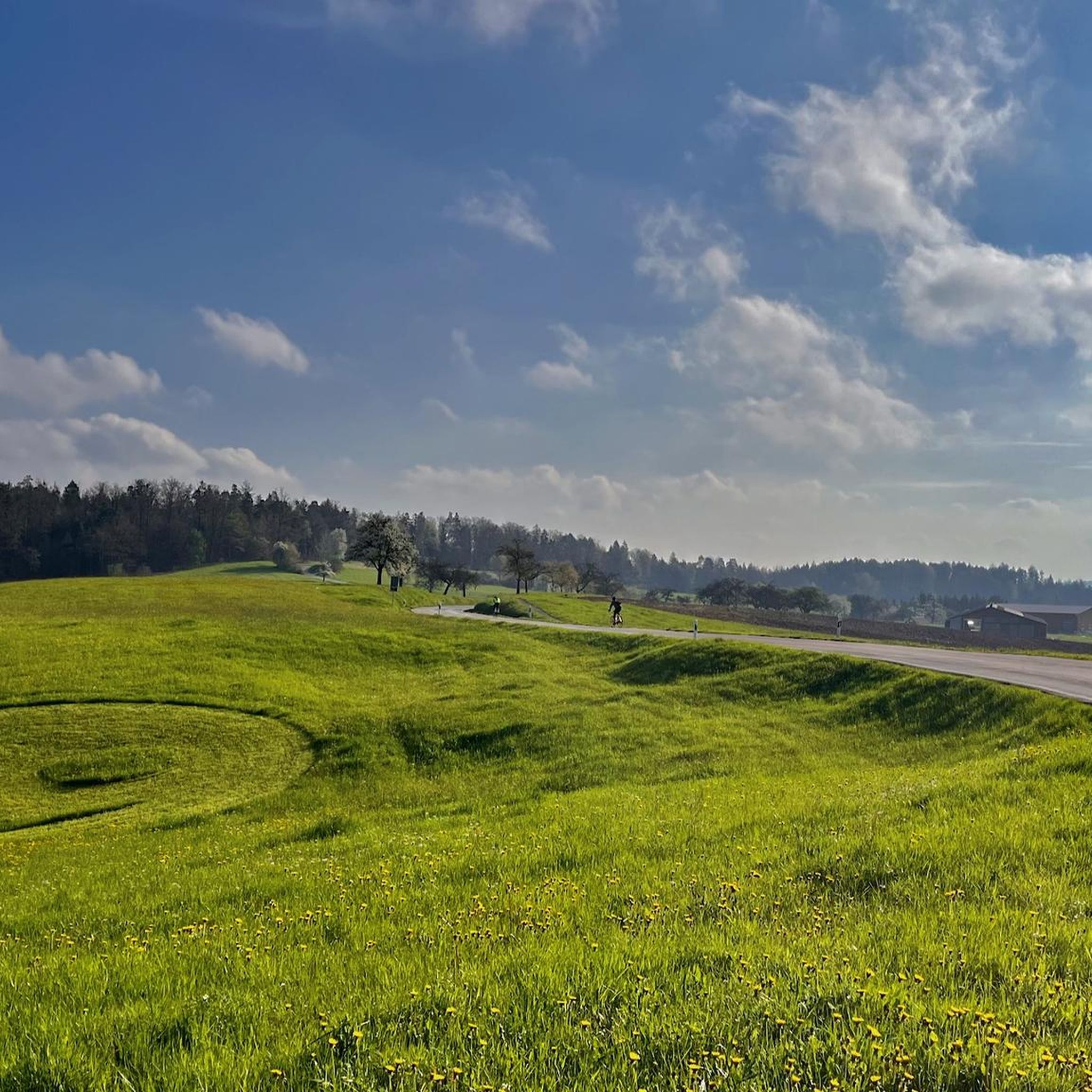
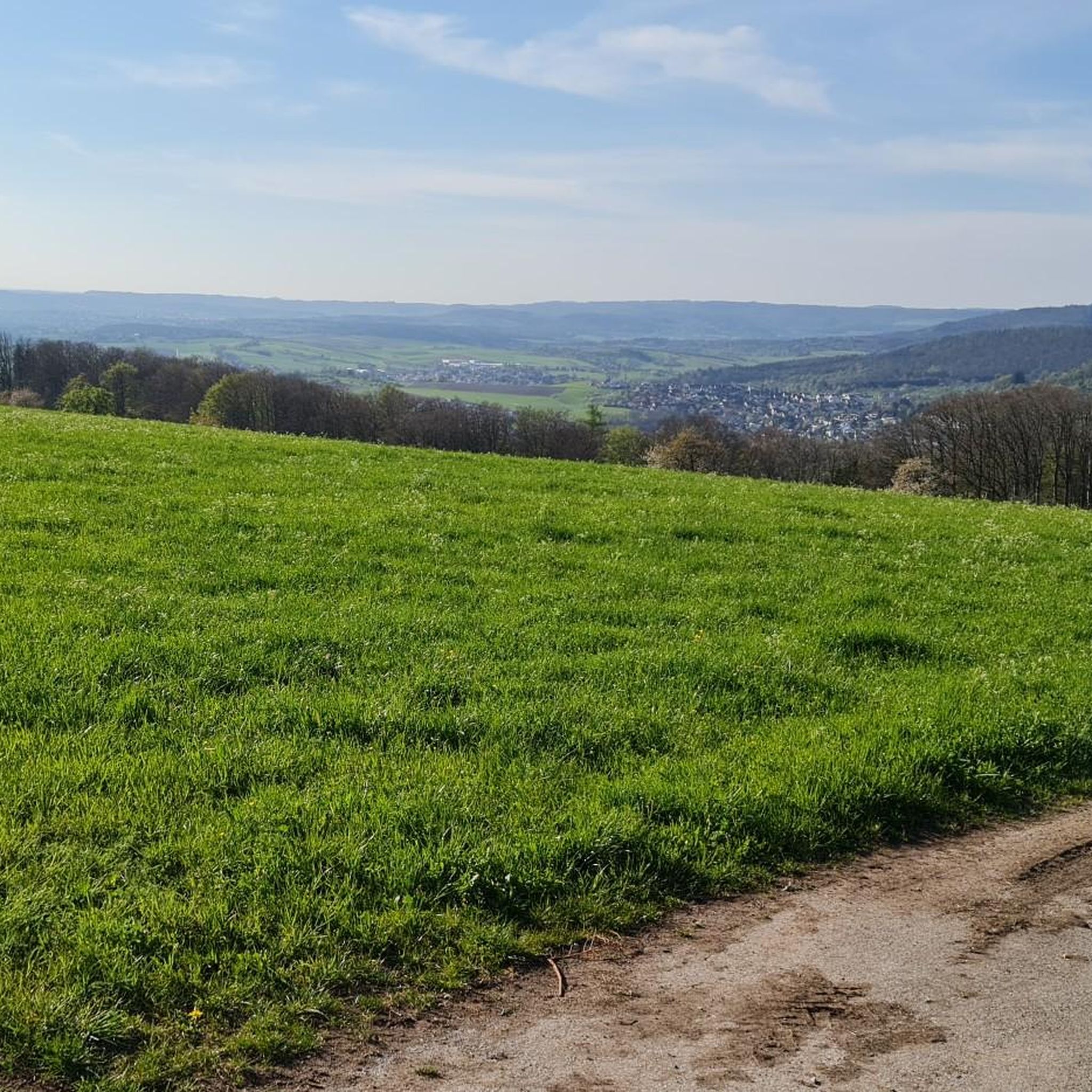
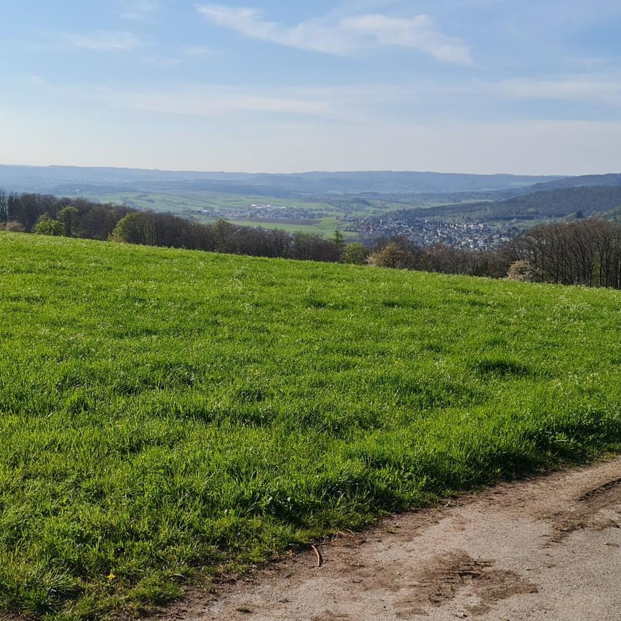
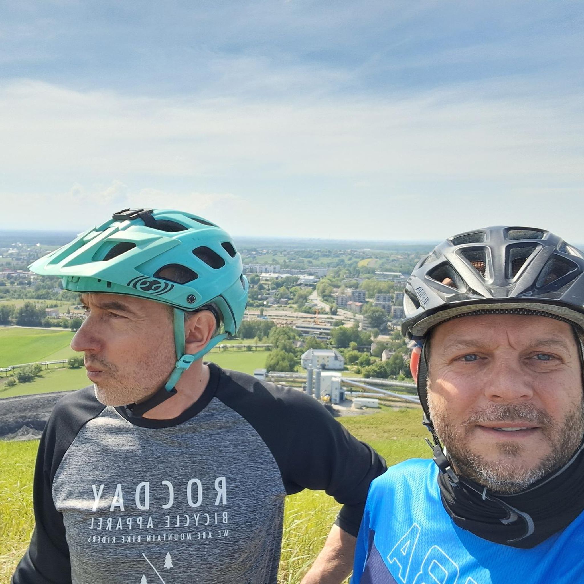


커뮤니티 팁

이곳에서 방문객들은 노를 젓는 보트, 페달 보트, 작은 전기 보트를 빌려 잔잔하고 자연 친화적인 관점에서 호수를 경험할 수 있습니다.
6
0

언덕 너머와 같은 이름의 Käsbühlstraße를 통과하는 유명한 루트로는 순환 하이킹 코스인 Schützenhausweg 또는 근처의 Haube를 넘는 광범위한 투어가 있습니다. Käsbühlstraße의 놀이터는 가족들을 위한 랜드마크 역할을 합니다.
0
0

The telecommunications tower is located on the Hohe Brach, the highest point in the Rems-Murr district, between the villages of Erlach and Grab in the municipality of Großerlach. The tower itself is 133 meters high, with its summit reaching a total elevation of over 719 meters above sea level. Visitor Information Accessibility: Unfortunately, entering the telecommunications tower is not permitted; there is no publicly accessible viewing platform. Reaching the Tower: The tower is very impressive from below and can be a worthwhile destination for a trip to the Hohe Brach. The area is very secluded and situated in the forest, which ensures clean air. Accessibility: ...
1
0


In the drained lake you can see the sandbank as a hill
0
1


더 살펴보기
다른 지역의 최고의 산악 하이킹 & 경로를 살펴보세요.
