우스터 카운티 최고의 그래블 라이딩 코스
4.5
(14)
162
자전거 타는 사람
24
라이딩
우스터 카운티의 엄선된 그래블 라이딩 코스에서 거친 라이딩의 매력을 경험하세요. 도전정신을 자극하는 업힐 코스이든 아름다운 풍경 트레일이든, 우스터 카운티 최고의 그래블 라이딩 경로를 살펴보세요.
마지막 업데이트: 10월 14, 2026
4.5
(2)
15
자전거 타는 사람
26.7km
01:43
160m
160m
보통 자갈길 타기. 좋은 체력 필요. 대부분 포장된 지면. 실력과 관계없이 누구나 갈 수 있음.
11
자전거 타는 사람
27.5km
02:01
240m
240m
보통 자갈길 타기. 좋은 체력 필요. 대부분 포장된 지면. 실력과 관계없이 누구나 갈 수 있음.

9
자전거 타는 사람
보통 자갈길 타기. 좋은 체력 필요. 대부분 포장된 지면. 실력과 관계없이 누구나 갈 수 있음.
5.0
(1)
10
자전거 타는 사람
21.0km
01:24
120m
120m
초급용 그래블 라이딩. 모든 체력 수준에 적합. 대부분 포장된 지면. 실력과 관계없이 누구나 갈 수 있음.
4.0
(1)
5
자전거 타는 사람
33.4km
02:25
260m
260m
보통 자갈길 타기. 좋은 체력 필요. 대부분 포장된 지면. 실력과 관계없이 누구나 갈 수 있음.
4.0
(1)
5
자전거 타는 사람
32.5km
02:42
290m
290m
보통 자갈길 타기. 좋은 체력 필요. 대부분 포장된 지면. 실력과 관계없이 누구나 갈 수 있음.
4.0
(1)
2
자전거 타는 사람
32.4km
02:35
330m
330m
보통 자갈길 타기. 좋은 체력 필요. 대부분 포장된 지면. 실력과 관계없이 누구나 갈 수 있음.
6
자전거 타는 사람
어려운 자갈길 타기. 우수한 체력 필요. 투어 중 자전거를 끌고 가야 하는 구간이 있을 수 있음.
5
자전거 타는 사람
36.7km
03:02
180m
180m
보통 자갈길 타기. 좋은 체력 필요. 대부분 포장된 지면. 실력과 관계없이 누구나 갈 수 있음.
5
자전거 타는 사람
105km
07:54
1,000m
1,000m
어려운 자갈길 타기. 우수한 체력 필요. 대부분 포장된 지면. 실력과 관계없이 누구나 갈 수 있음.
더 다양한 경로와 다른 탐험가들의 추천을 살펴보세요.
이미 komoot 계정이 있나요?
투어 추천은 다른 사람들이 komoot에서 완료한 수천 개의 활동을 바탕으로 구성되어 있습니다.
오늘 무료 계정으로 시작하세요
다음 모험이 기다리고 있어요.
우스터 카운티 주변 인기 장소

around Rutland 그래블 라이딩

Rutland State Park 그래블 라이딩

Moore State Park 그래블 라이딩

Eagle Lake Wildlife Refuge 그래블 라이딩

around Athol 그래블 라이딩
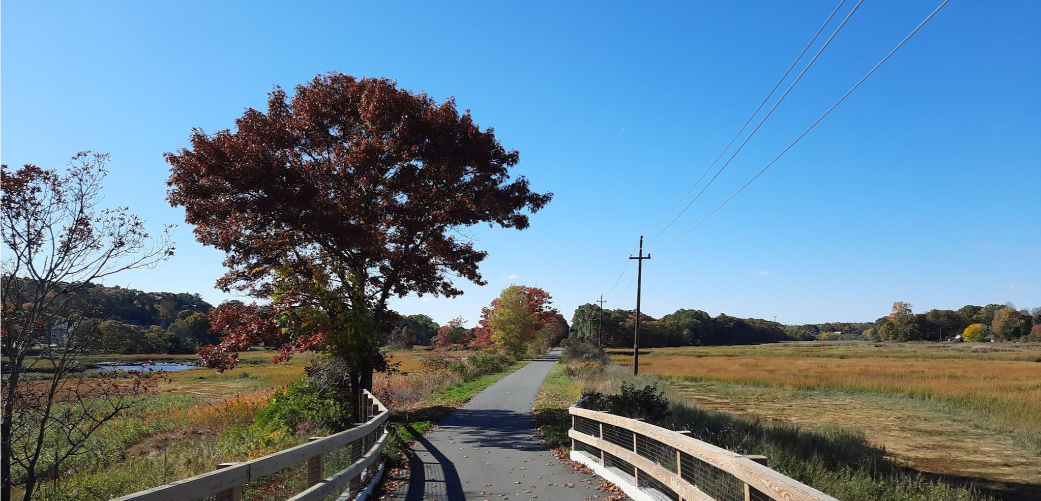
East Coast Greenway — Atlantic Seaboard를 따라 잊을 수 없는 Ride
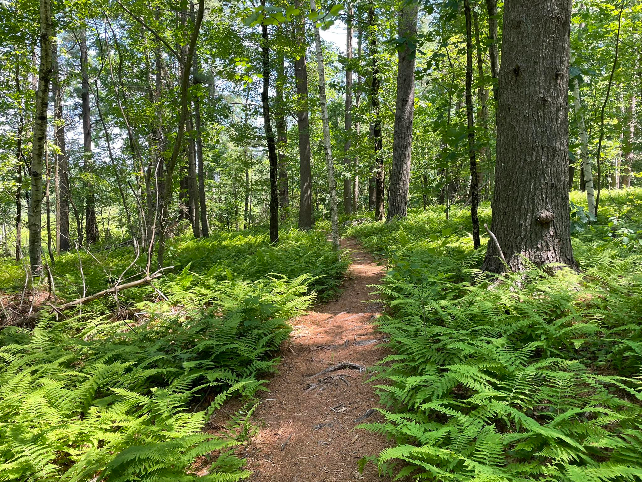
Bay Circuit Trail과 Greenway — Walking the Emerald Necklace
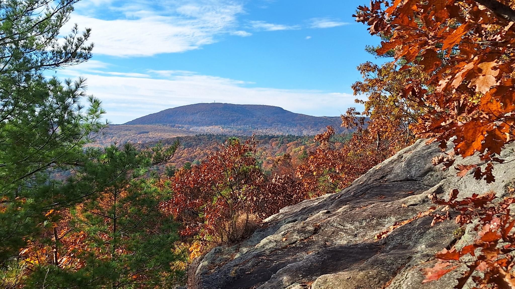
Midstate Trail — 매사추세츠주의 중심을 관통하는 92마일
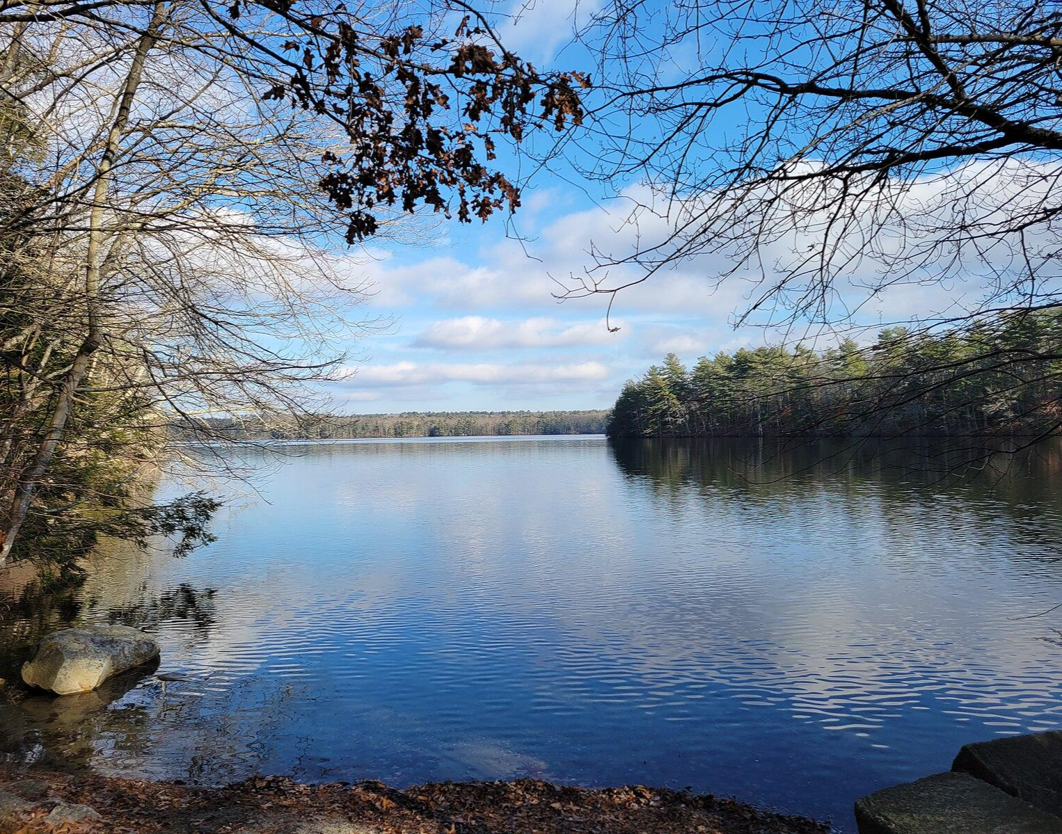
North-South Trail — The Smallest State's Longest Walk
우스터 카운티 하이킹


커뮤니티 팁


This section of the Mass Central Rail Trail passes under the interstate bridge built to cross the Quinapoxet River. There is some greenery surrounding the path, and it looks up towards the bridge way above.
0
0

The second-largest water body in Massachusetts, the Wachusett Reservoir is as beautiful as it is huge. It can hold a whopping 65 billion US gallons of water. The Quinapoxet and Stillwater rivers and the Quabbin Aqueduct feed into the reservoir. Bear in mind that camping and swimming isn't allowed in some places around the reservoir.
0
0

This trail is part of a planned 104 mile path from Boston to Northampton. It is laid over an old rail bed that was destroyed during a hurricane in 1938. This section is mostly hard packed crushed stone that is great for biking, running and walking. There are some short segments of grassy double track.
0
0

Thayer Pond WMA is a 131-acre outdoor playground with the Central Mass Rail Trail running through it. You can enjoy wildlife viewing, hunting, and fishing in this natural landscape. The eastern part of the preserve is home to Thayer Pond, while the western part has a mixed hardwood forest with gray foxes and squirrels. Mill Brook flows through it, where you can spot several beaver impoundments along its banks.
0
0
This 280-acre pond is used to protect the natural wetlands in this area. It is a popular spot for birdwatching and fishing. It is a great spot for a break to enjoy the wonderful setting.
1
0

Wallum Pond Hill is a 663-foot hill just off of Wallum Lake Road. This is a nice climb through a pretty area, ending at the Douglas State Forest-managed Wallum Lake. If you head north from here and are looking to add a little gravel to your road ride, you can link up with the Southern New England Trunkline Trail.
0
0
우스터 카운티에서 가장 인기 있는 명소


찾고 계신 것을 찾지 못하셨나요?
우스터 카운티에서 더 많은 그래블 라이딩를 확인하고 목적지에서 완벽한 경로를 찾아보세요.
더 살펴보기
다른 지역의 최고의 그래블 라이딩를 살펴보세요.
