아슈어-아슈렛 주변 최고의 그래블 라이딩 코스
4.7
(16)
59
자전거 타는 사람
29
라이딩
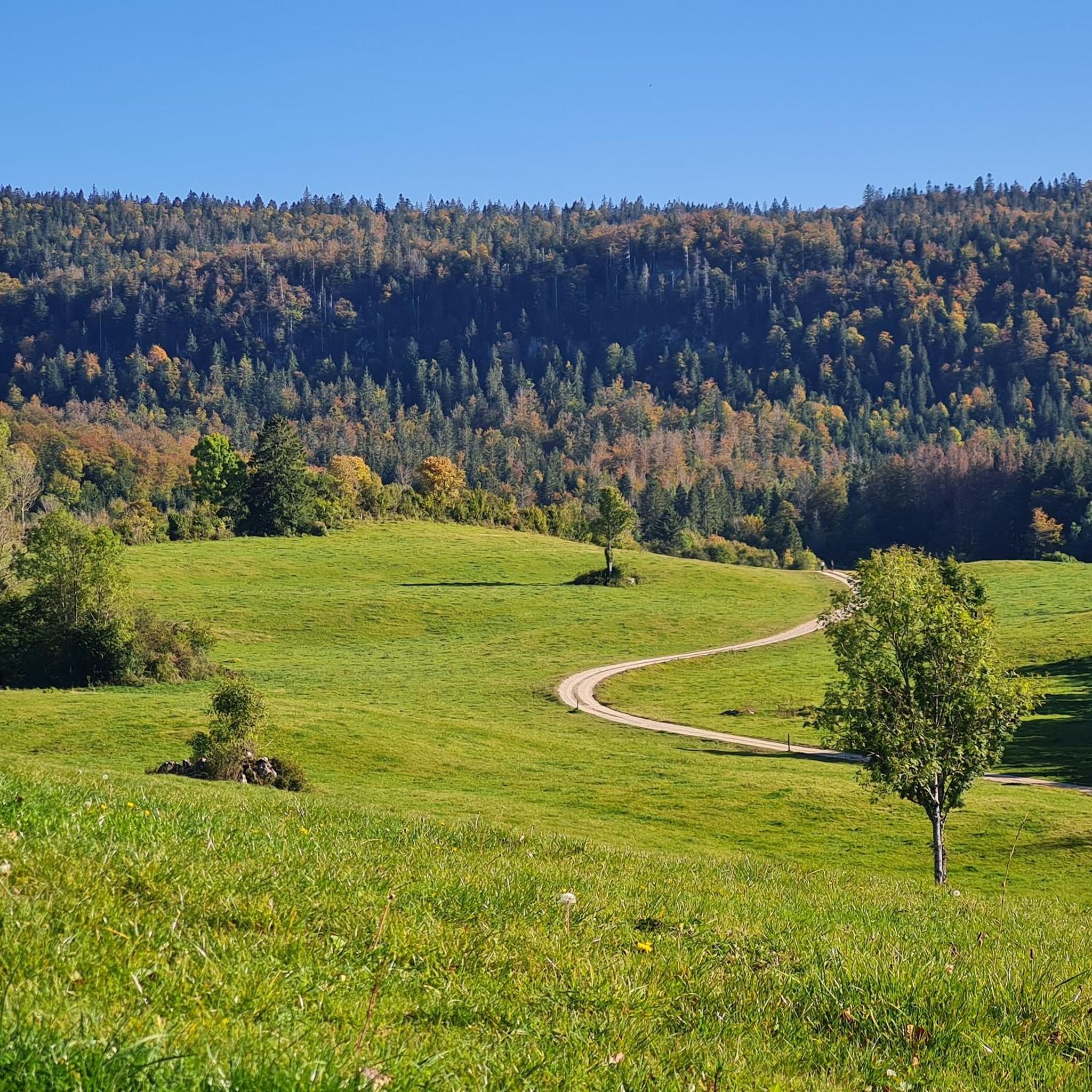
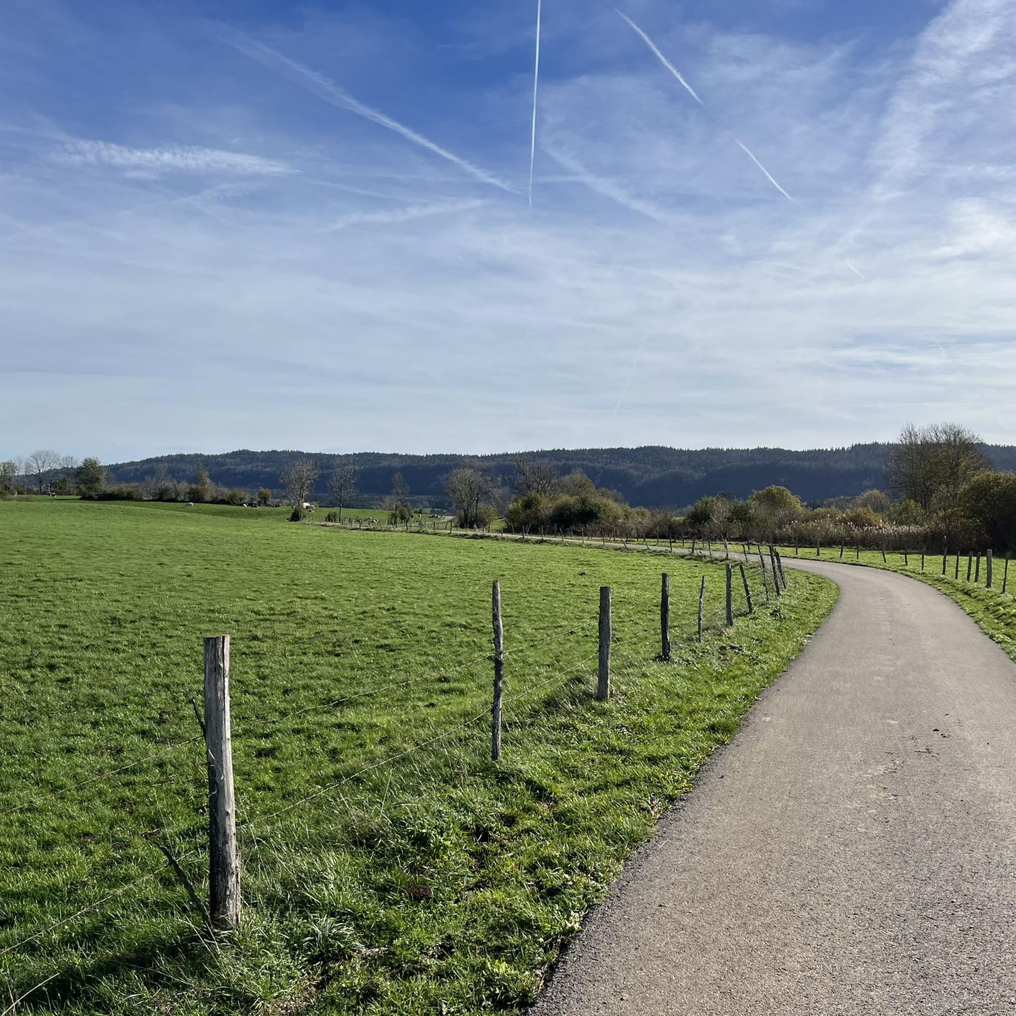
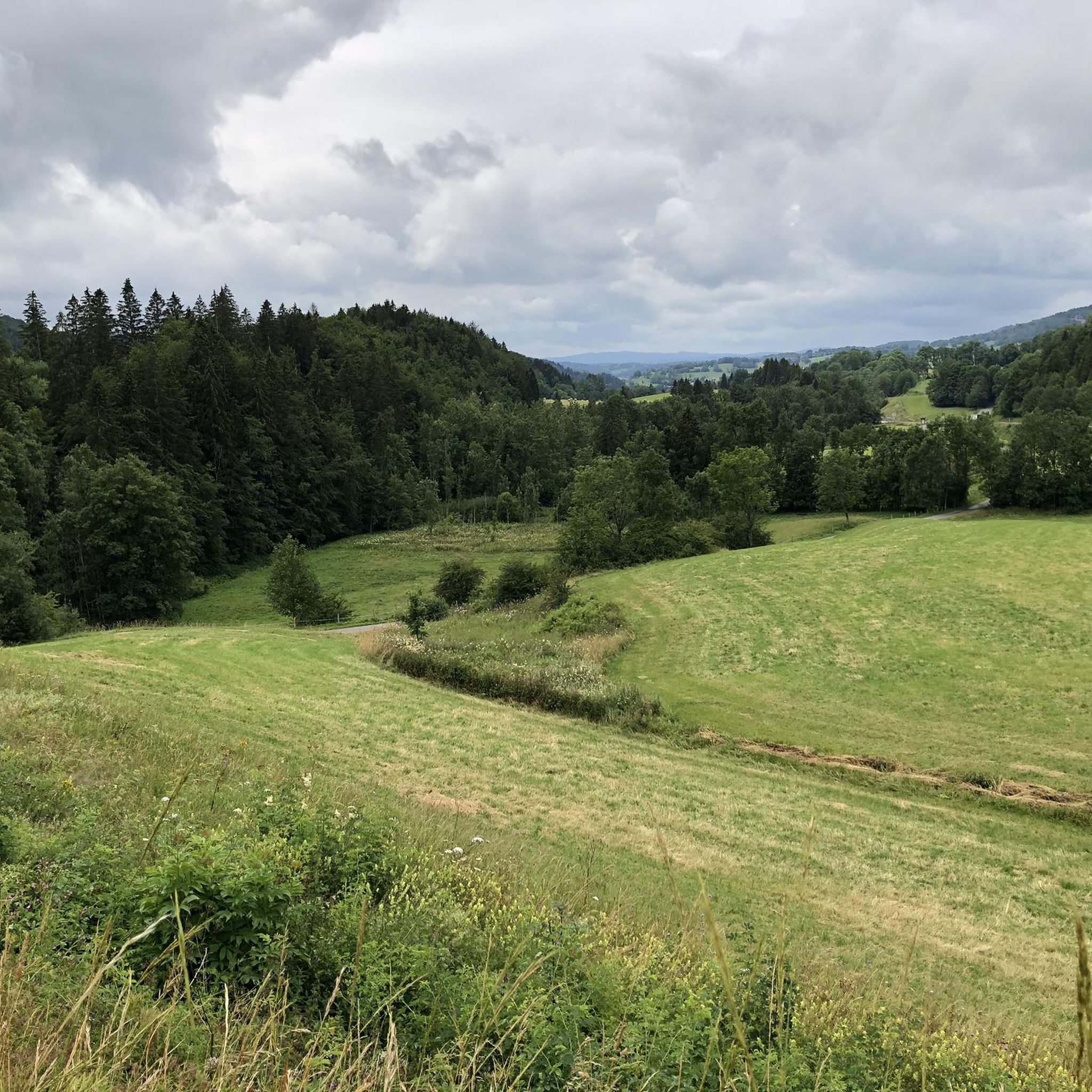
그래블 바이크를 타고 아르쉬르-아르쉬레트(Arsure-Arsurette) 주변을 달리면 쥐라 산맥(Jura Mountains) 내의 다양한 풍경을 경험할 수 있습니다. 이곳은 숲, 계곡, 물가 풍경이 어우러진 곳입니다. 지형은 고도 변화가 다양하며, 일부 코스는 상당한 오르막 구간을 포함하고 있습니다. 또한 오프로드 사이클링에 적합한 다양한 길들이 있습니다. 라이더들은 돌길, 농로, 녹색 도로, 숲길 등을 달리게 될 것입니다. 이 지역의 자연 환경은 도우브 강(Doubs)을 포함한 호수와 강 근처 지역을 탐험할 기회를 제공합니다.
아르쉬르-아르쉬레트 주변 최고의 그래블 바이크 코스
- 가장 인기 있는 그래블 바이크 코스는 페티트-쇼(Petite-Chaux)에서 출발하는 샤펠-데-부아(Chapelle-des-Bois) –…
마지막 업데이트: 10월 19, 2026
4.8
(6)
14
자전거 타는 사람
50.3km
03:29
870m
870m
어려운 자갈길 타기. 우수한 체력 필요. 대부분 포장된 지면. 실력과 관계없이 누구나 갈 수 있음.
5.0
(1)
8
자전거 타는 사람
19.6km
01:31
270m
270m
보통 자갈길 타기. 좋은 체력 필요. 대부분 포장된 지면. 실력과 관계없이 누구나 갈 수 있음.

6
자전거 타는 사람
27.0km
02:05
400m
400m
보통 자갈길 타기. 좋은 체력 필요. 대부분 포장된 지면. 실력과 관계없이 누구나 갈 수 있음.
3.7
(3)
8
자전거 타는 사람
36.2km
02:25
520m
520m
어려운 자갈길 타기. 우수한 체력 필요. 대부분 포장된 지면. 실력과 관계없이 누구나 갈 수 있음.
5.0
(1)
7
자전거 타는 사람
43.5km
03:02
910m
910m
어려운 자갈길 타기. 우수한 체력 필요. 대부분 포장된 지면. 실력과 관계없이 누구나 갈 수 있음.
더 다양한 경로와 다른 탐험가들의 추천을 살펴보세요.
이미 komoot 계정이 있나요?
투어 추천은 다른 사람들이 komoot에서 완료한 수천 개의 활동을 바탕으로 구성되어 있습니다.
오늘 무료 계정으로 시작하세요
다음 모험이 기다리고 있어요.
커뮤니티 팁


Viewpoint above the Doubs source with beautiful views through a forest clearing to Mouthe and the Doubs river.
6
0
The source of the Doubs River is a powerful karst spring in a heavily karstified area of the Jura Mountains. It lies at an altitude of 937 meters at the foot of the forested, up to 1,419-meter-high Mont Risoux mountain range, which straddles the border between France and Switzerland. The Doubs River rises from a small, approximately five-meter-deep spring basin in a cave in the rock.
6
0
The Bief de la Ruine waterfall is located in the spectacular Malvaux Gorge. One of the most astonishing features of this waterfall is the fact that it only comes alive after heavy rainfall or during snowmelt. When it dries, it gives way to the spectacle of the carved stone, revealing the "Creux des Joyaux," a natural cave where the water swirls with varying degrees of vigor, polishing a multitude of limestone pebbles thanks to the force of its current.
7
0

아슈어-아슈렛 주변에서 가장 인기 있는 명소


더 살펴보기
다른 지역의 최고의 그래블 라이딩를 살펴보세요.
