프라이멘겐-멜렌바흐 주변 최고의 그래블 라이딩 코스
4.3
(3)
100
자전거 타는 사람
30
라이딩
프라이멩겐-메를렌바흐 주변의 그래블 바이크 라이딩은 산업 역사와 자연 환경을 결합한 다양한 풍경을 제공합니다. 이 지역은 자연 복원된 채석장, 포레 뒤 바른트(Forêt du Warndt)와 같은 광활한 숲, 오프로드 탐험에 적합한 고도 변화가 있는 다양한 지형을 특징으로 합니다. 독일 국경 근처에 위치하여 국경을 넘는 자전거 타기 기회를 제공하며, 자르 강(Saar River)을 따라가는 경로도 포함됩니다. 이러한 물리적 특징은 자갈 표면, 숲길, 조용한 시골길의 네트워크를 만듭니다.
프라이멩겐-메를렌바흐 주변 최고의 그래블 바이크 트레일
- 가장 인기 있는 그래블 바이크 트레일은 베닝 출발 마지노 요새(Maginot Fort) –…
마지막 업데이트: 10월 20, 2026
4
자전거 타는 사람
31.4km
02:25
330m
330m
보통 자갈길 타기. 좋은 체력 필요. 대부분 포장된 노면.
8
자전거 타는 사람
46.3km
03:15
430m
430m
어려운 자갈길 타기. 좋은 체력 필요. 투어 중 자전거를 끌고 가야 하는 구간이 있을 수 있음.

12
자전거 타는 사람
45.4km
03:00
390m
390m
보통 자갈길 타기. 좋은 체력 필요. 대부분 포장된 노면.
5
자전거 타는 사람
57.9km
03:47
670m
670m
어려운 자갈길 타기. 우수한 체력 필요. 대부분 포장된 노면.
2
자전거 타는 사람
17.6km
01:14
200m
200m
보통 자갈길 타기. 좋은 체력 필요. 대부분 포장된 노면.
더 다양한 경로와 다른 탐험가들의 추천을 살펴보세요.
이미 komoot 계정이 있나요?
투어 추천은 다른 사람들이 komoot에서 완료한 수천 개의 활동을 바탕으로 구성되어 있습니다.
오늘 무료 계정으로 시작하세요
다음 모험이 기다리고 있어요.
커뮤니티 팁


Viewpoint from one of the many bunkers along the Marginot Line. On a clear day, the view from here is fantastic, stretching all the way to the nearby Vosges Mountains. Even the Donon and Dabo peaks are easily visible to the naked eye. This shady spot with its bench is also perfect for a short break.
0
0

Distant view as far as the Vosges Mountains
0
0


Always fresh drinking water, highly recommended. Fill up your water bottle and continue on to the beautiful Warndt.
0
0

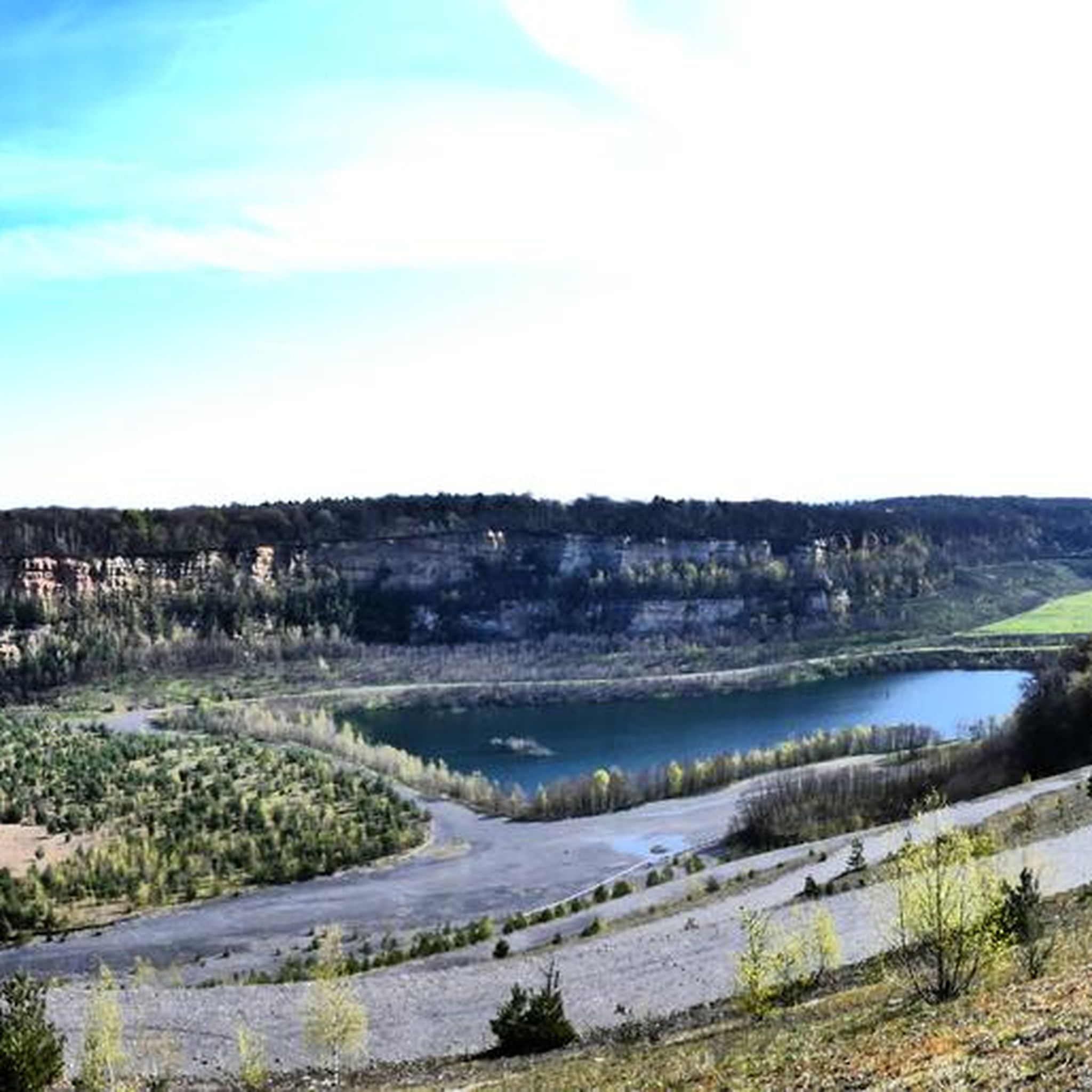
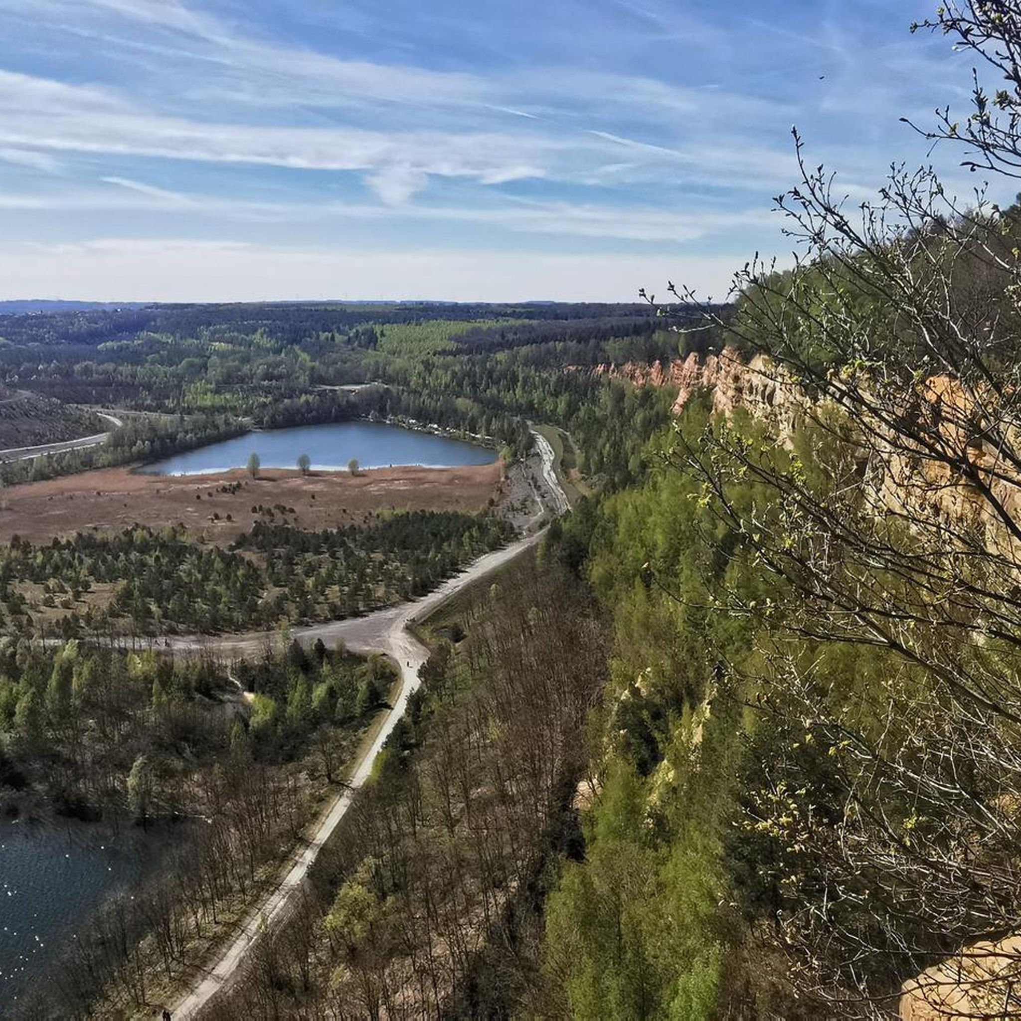
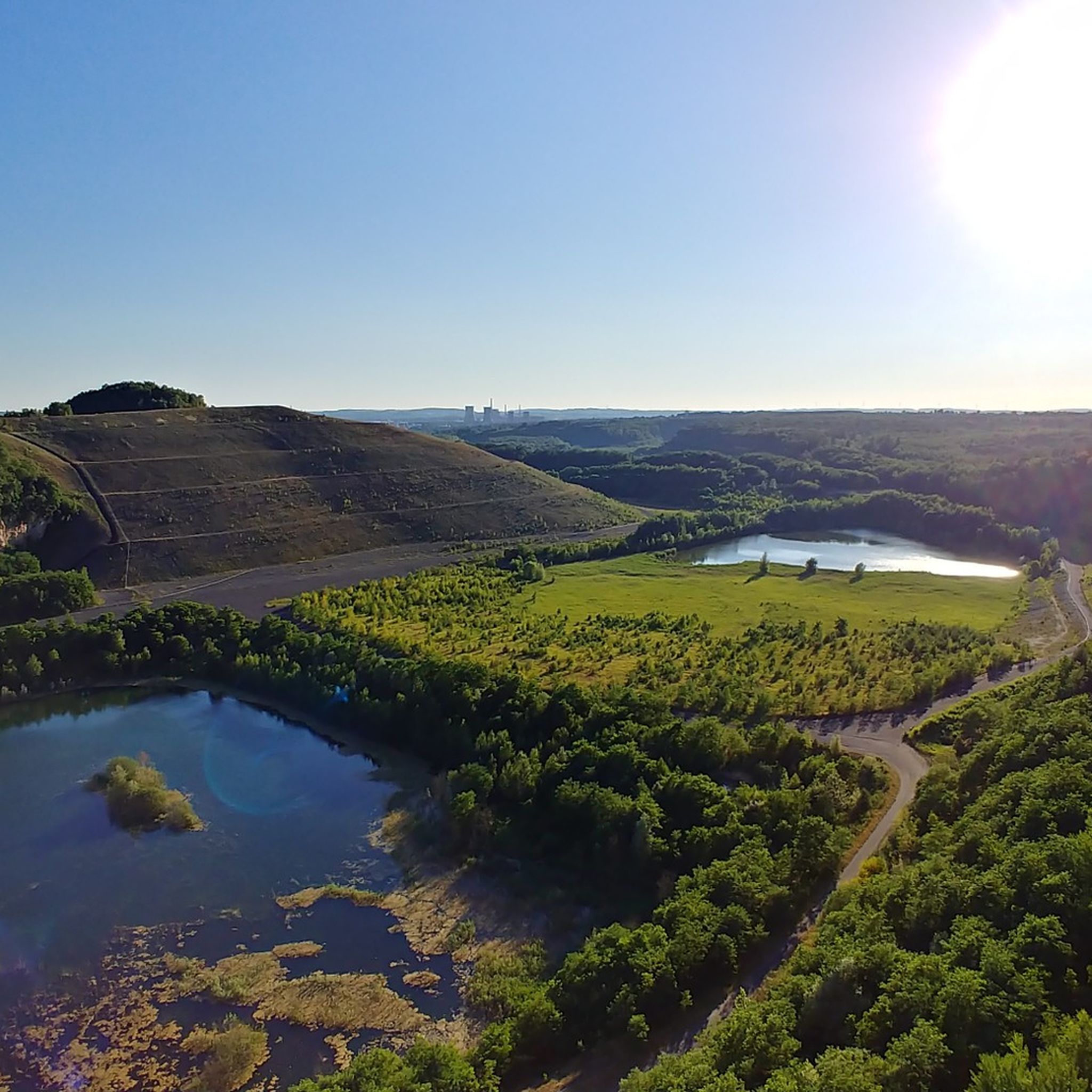
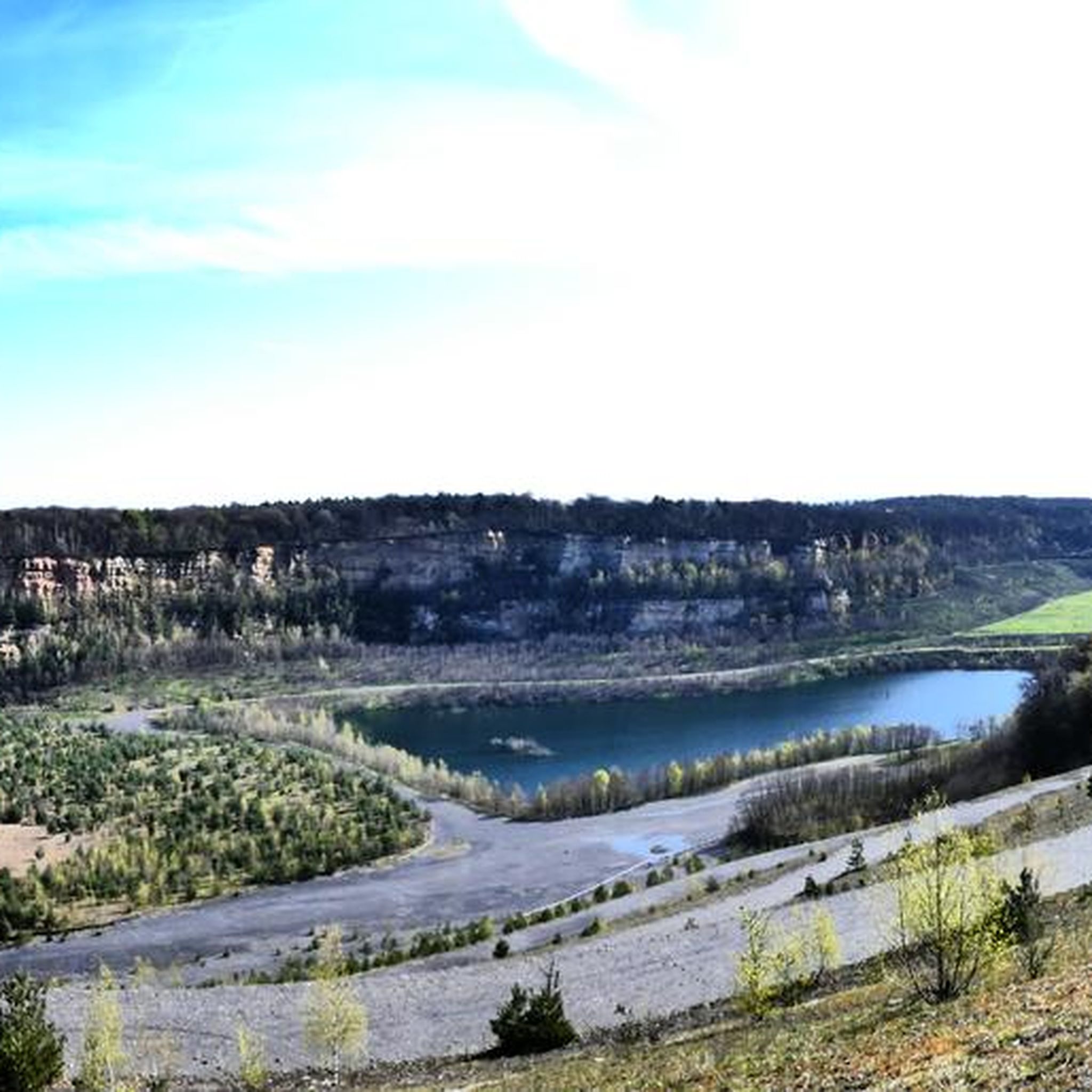
A very beautiful renaturalized pit or quarry. A cool gateway for cyclists.
0
0

The Maginot Line: The French Wall | ARTE https://youtu.be/Bvtxa08ysgc For those who would like to know more about the Maginot Line: de.wikipedia.org/wiki/Liste_der_Ouvrages_der_Maginot-Linie
1
0

The Hoste Bas pond borders the Hoste Haut pond. It was part of the Maginot Line defense system. Today, they are home to numerous species of fish, much to the delight of anglers.
0
1
프라이멘겐-멜렌바흐 주변에서 가장 인기 있는 명소


더 살펴보기
다른 지역의 최고의 그래블 라이딩를 살펴보세요.
