비누에사 주변 최고의 그래블 라이딩 코스
4.9
(6)
59
자전거 타는 사람
14
라이딩
그래블 바이크를 타고 비누에사 주변을 달리면 두에로 강, 쿠에르다 델 포조 저수지, 주변의 소나무 숲으로 특징지어지는 다양한 풍경을 가로지르는 코스를 경험할 수 있습니다. 이 지역은 완만한 경사와 적당한 오르막과 내리막이 혼합된 지형으로, 그래블 사이클리스트에게 다양한 조건을 제공합니다. 트레일은 종종 자연 공원과 시골길을 통과하며 작은 마을들을 연결하고 소리아 주의 풍경을 조망할 수 있게 합니다. 이 지역은 그래블 바이크로 자연 환경을 탐험하기에 적합한 길의 네트워크를 제공합니다.
비누에사 주변 최고의 그래블 바이크 코스
- 가장 인기 있는 그래블 바이크 코스는 카브레하스 델 피나르 출발…
마지막 업데이트: 8월 26, 2026
4.7
(3)
18
자전거 타는 사람
44.6km
04:10
1,090m
1,090m
어려운 자갈길 타기. 우수한 체력 필요. 대부분 포장된 지면. 실력과 관계없이 누구나 갈 수 있음.
5.0
(1)
6
자전거 타는 사람
51.7km
04:38
880m
880m
어려운 자갈길 타기. 우수한 체력 필요. 대부분 포장된 지면. 실력과 관계없이 누구나 갈 수 있음.

무료 회원 가입
5.0
(1)
10
자전거 타는 사람
19.3km
01:24
230m
230m
보통 자갈길 타기. 좋은 체력 필요. 대부분 포장된 지면. 실력과 관계없이 누구나 갈 수 있음.
8
자전거 타는 사람
55.1km
05:23
1,240m
1,240m
어려운 자갈길 타기. 우수한 체력 필요. 대부분 포장된 지면. 실력과 관계없이 누구나 갈 수 있음.
6
자전거 타는 사람
20.9km
01:41
170m
170m
보통 자갈길 타기. 좋은 체력 필요. 대부분 포장된 지면. 실력과 관계없이 누구나 갈 수 있음.
더 다양한 경로와 다른 탐험가들의 추천을 살펴보세요.
무료 회원 가입
이미 komoot 계정이 있나요?
투어 추천은 다른 사람들이 komoot에서 완료한 수천 개의 활동을 바탕으로 구성되어 있습니다.
오늘 무료 계정으로 시작하세요
다음 모험이 기다리고 있어요.
로그인 또는 가입하기


커뮤니티 팁


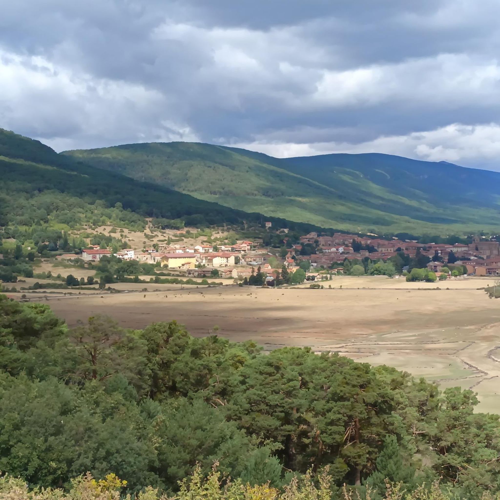
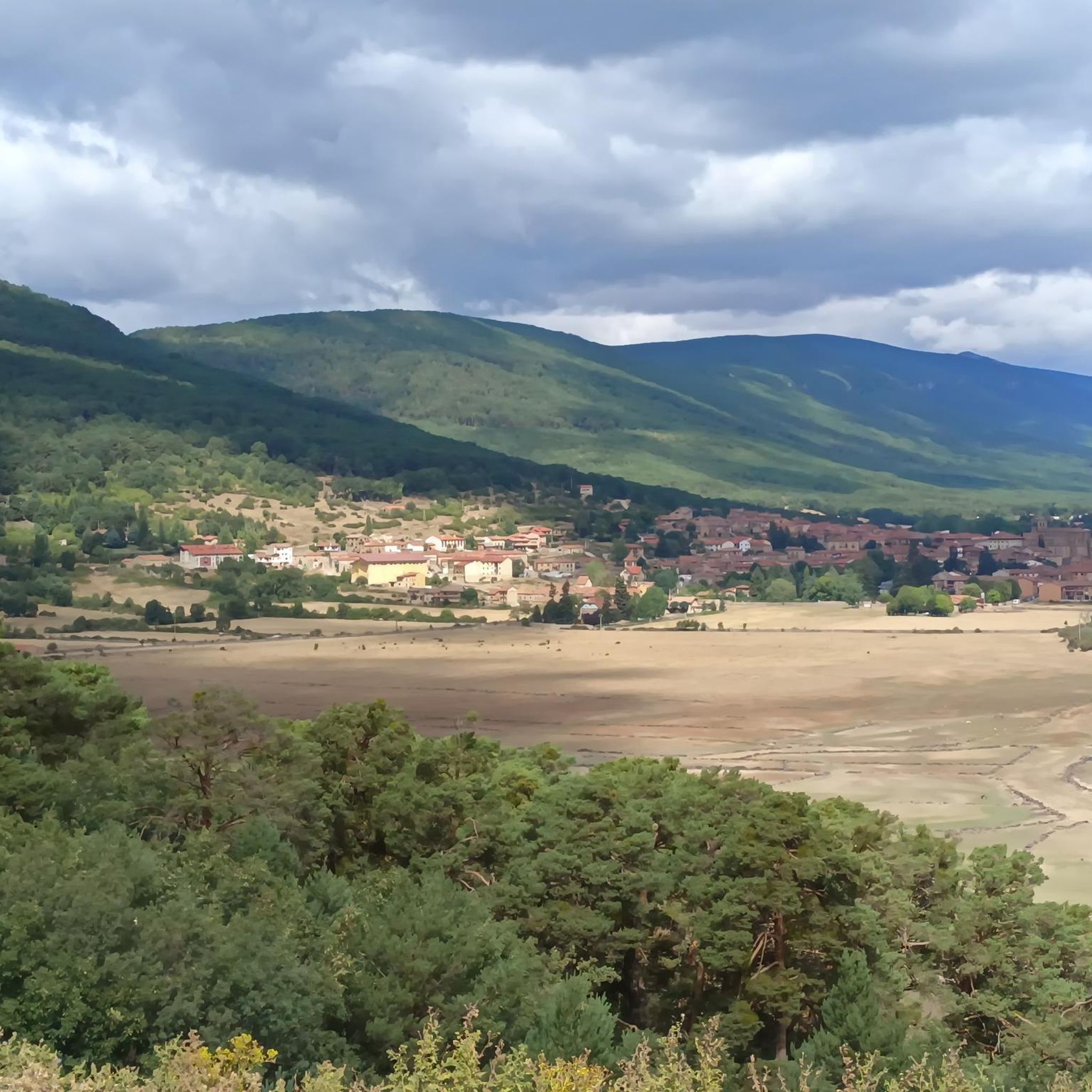
Molinos, located at the entrance to the valley through which the Duero River descends, amidst thick pine forests, was the most important cart-making center in the country for centuries. A monument today reminds visitors of the great impact this activity had on the area. The wool trade significantly stimulated muleteering and transport, leading the Catholic Monarchs to found the Royal Cart-Workers' Cabin in 1497, granting it substantial privileges and franchises that successive monarchs maintained until its abolition in 1836. A result of the wealth this activity brought is the collection of beautiful stone mansions scattered throughout the town.
0
0

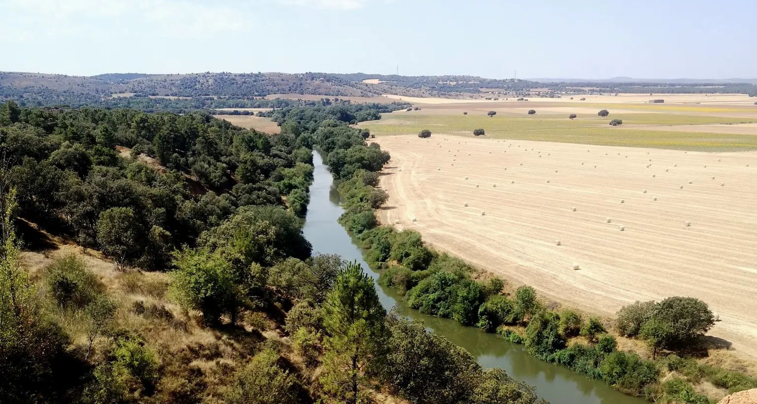
Stage 2. Duruelo de la Sierra/Soria 69 kilometers. 510 meters of elevation gain. Duruelo has hotels, restaurants, and grocery stores. It is the town where the Duero River originates at the foot of the Urbión Peaks. The Senda del Duero Nature Trail begins at Fuentes del Duero, where the river officially originates, at an altitude of 2,100 meters, a landscape of crushed granite shaped by the fierceness of the high mountains. The route leaves the town along the Senda del Duero. The posts are located at a cattle gate, and there are hiking and mountain bike trail signs in several directions. The path is also marked with the red and white stripes of the GR-14 trail. It crosses a small, inconspicuous slope on a grassy slope and descends some steps to the fantastic path that runs along the riverbank—the perfect way to start this cycle tour. The river path is about seven kilometers long, with the tricky sections at the end, where rain and flooding have stripped the road bare, requiring careful adjustment to squeeze gravel tires between the stones. There's also a short stretch of stairs that isn't suitable for cycling. The path passes over the Soria Bridge (17th century) and climbs the slopes of Mount Peña Rubia, far from the river. It's the longest and steepest climb of the cycling day. The end is impossible; the path is ridden with roots and rills from runoff, but it only takes a few minutes. Soon, the forest track appears, descending at full speed to Molinos de Duero, another iconic village of pine-forest architecture with its May pine tree in the square and a landmark for road cycling. The red markers of the Duero Path pass under the road and continue toward Vinuesa along the route of an ancient Roman road, which is quite difficult for gravel bikes due to the poor condition of the surface. The comfortable option for bicycles with panniers is the road. Vinuesa is a good place to grab a snack, a section of a branch of the Cañada Real Segoviana (Royal Segovian Trail) that reaches from the Cameros region of Rioja via the Puerto de Santa Inés. The pines of the Revinuesa Valley are magnificent; they have always been renowned for their high-quality wood and their proud, solemn bearing. For centuries, they have shaped the economic pulse of forest resources in the Pinares region.
0
0
A curious large stone, it moves but cannot be dragged.
0
0
비누에사 주변에서 가장 인기 있는 명소


더 살펴보기
다른 지역의 최고의 그래블 라이딩를 살펴보세요.
