산트 에스테베 데 라 사르가 주변 최고의 그래블 라이딩 코스
4.0
(4)
67
자전거 타는 사람
6
라이딩
산트 에스테베 데 라 사르가 주변의 엄선된 그래블 라이딩 코스에서 거친 라이딩의 매력을 경험하세요. 도전정신을 자극하는 업힐 코스이든 아름다운 풍경 트레일이든, 산트 에스테베 데 라 사르가 주변 최고의 그래블 라이딩 경로를 살펴보세요.
마지막 업데이트: 9월 9, 2026
19
자전거 타는 사람
40.3km
03:08
640m
640m
어려운 자갈길 타기. 우수한 체력 필요. 대부분 포장된 지면. 실력과 관계없이 누구나 갈 수 있음.
9
자전거 타는 사람
21.9km
02:23
720m
720m
어려운 자갈길 타기. 우수한 체력 필요. 대부분 포장된 지면. 실력과 관계없이 누구나 갈 수 있음.

5.0
(1)
5
자전거 타는 사람
35.0km
03:22
820m
820m
어려운 자갈길 타기. 우수한 체력 필요. 대부분 포장된 지면. 실력과 관계없이 누구나 갈 수 있음.
3.0
(2)
6
자전거 타는 사람
104km
08:45
2,230m
2,230m
어려운 자갈길 타기. 우수한 체력 필요. 대부분 포장된 지면. 실력과 관계없이 누구나 갈 수 있음.
3
자전거 타는 사람
67.1km
05:45
1,270m
1,270m
어려운 자갈길 타기. 우수한 체력 필요. 대부분 포장된 지면. 실력과 관계없이 누구나 갈 수 있음.
투어 추천은 다른 사람들이 komoot에서 완료한 수천 개의 활동을 바탕으로 구성되어 있습니다.
오늘 무료 계정으로 시작하세요
다음 모험이 기다리고 있어요.
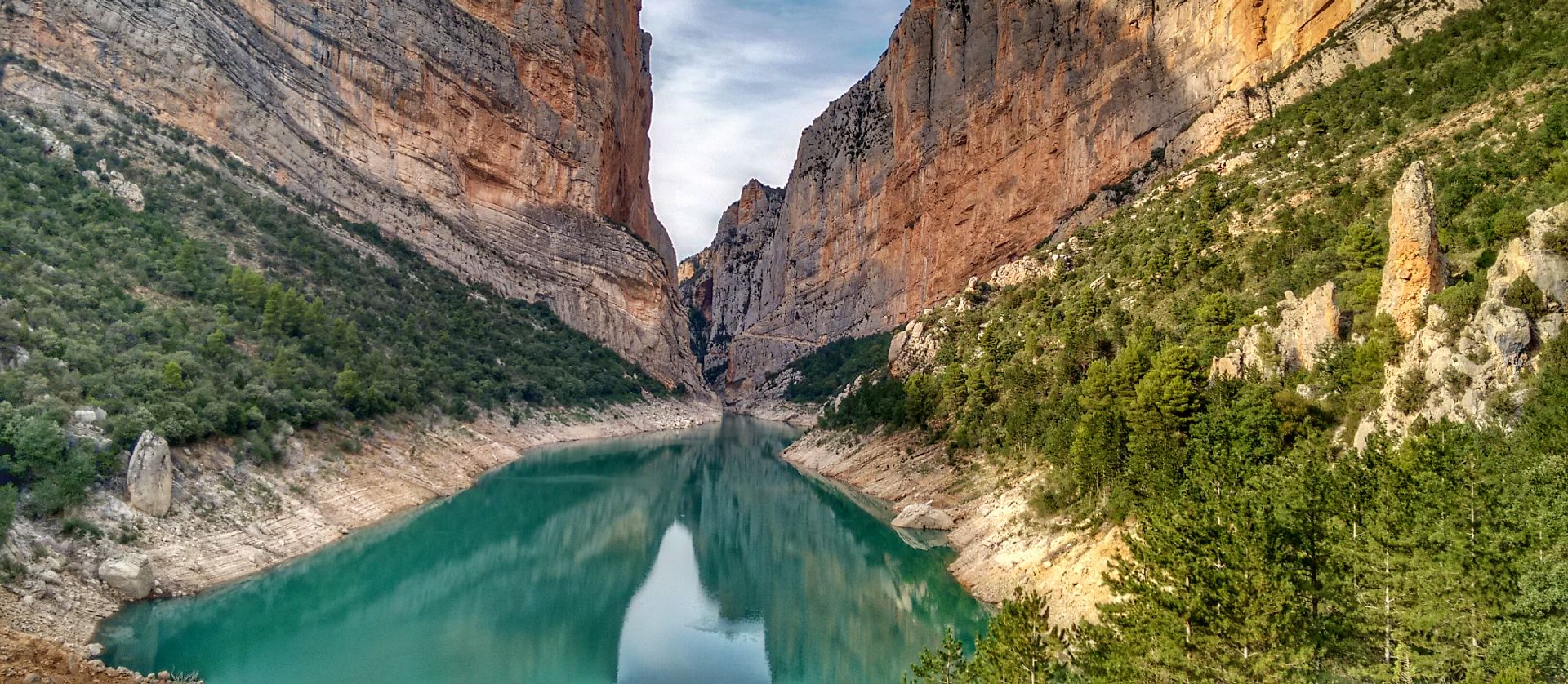
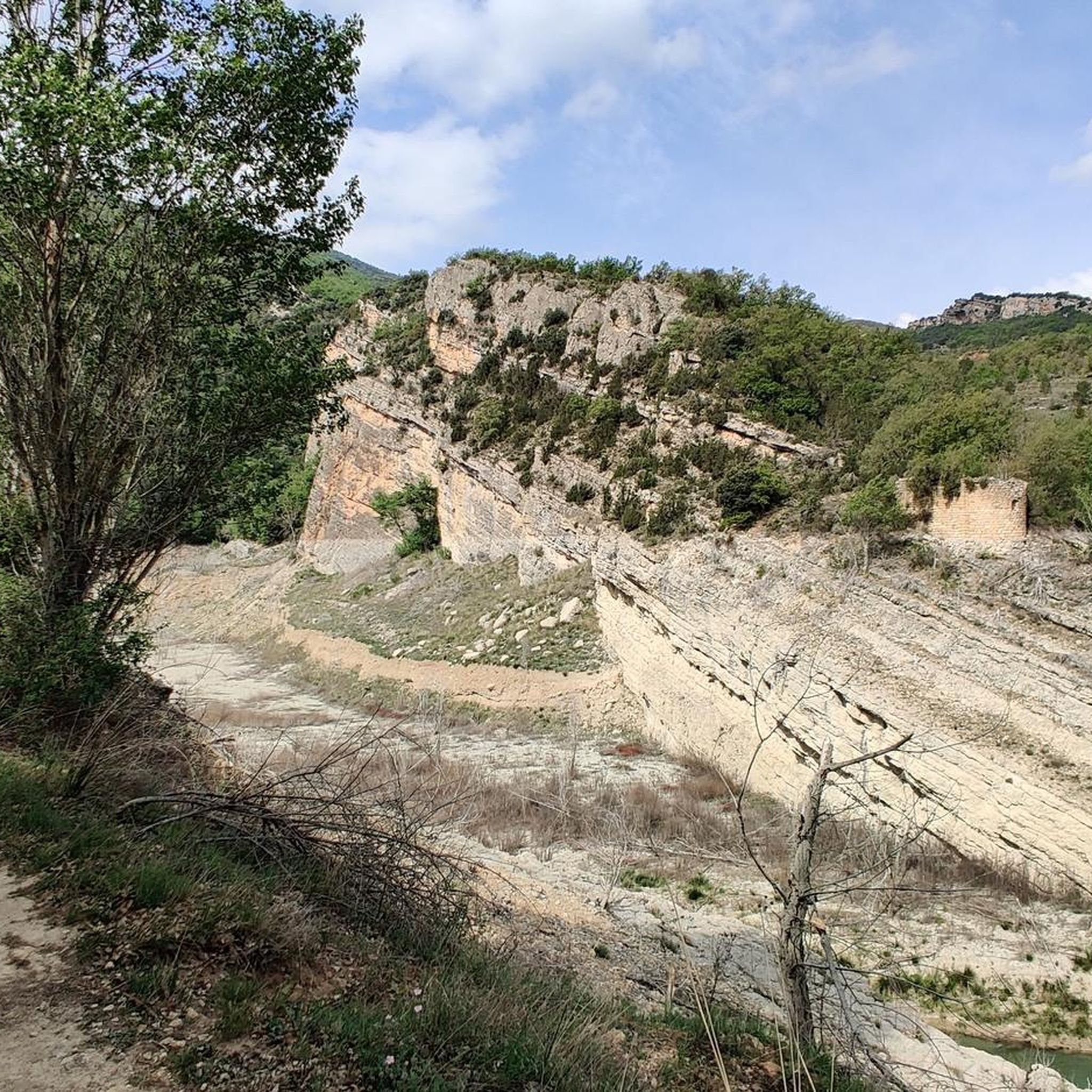
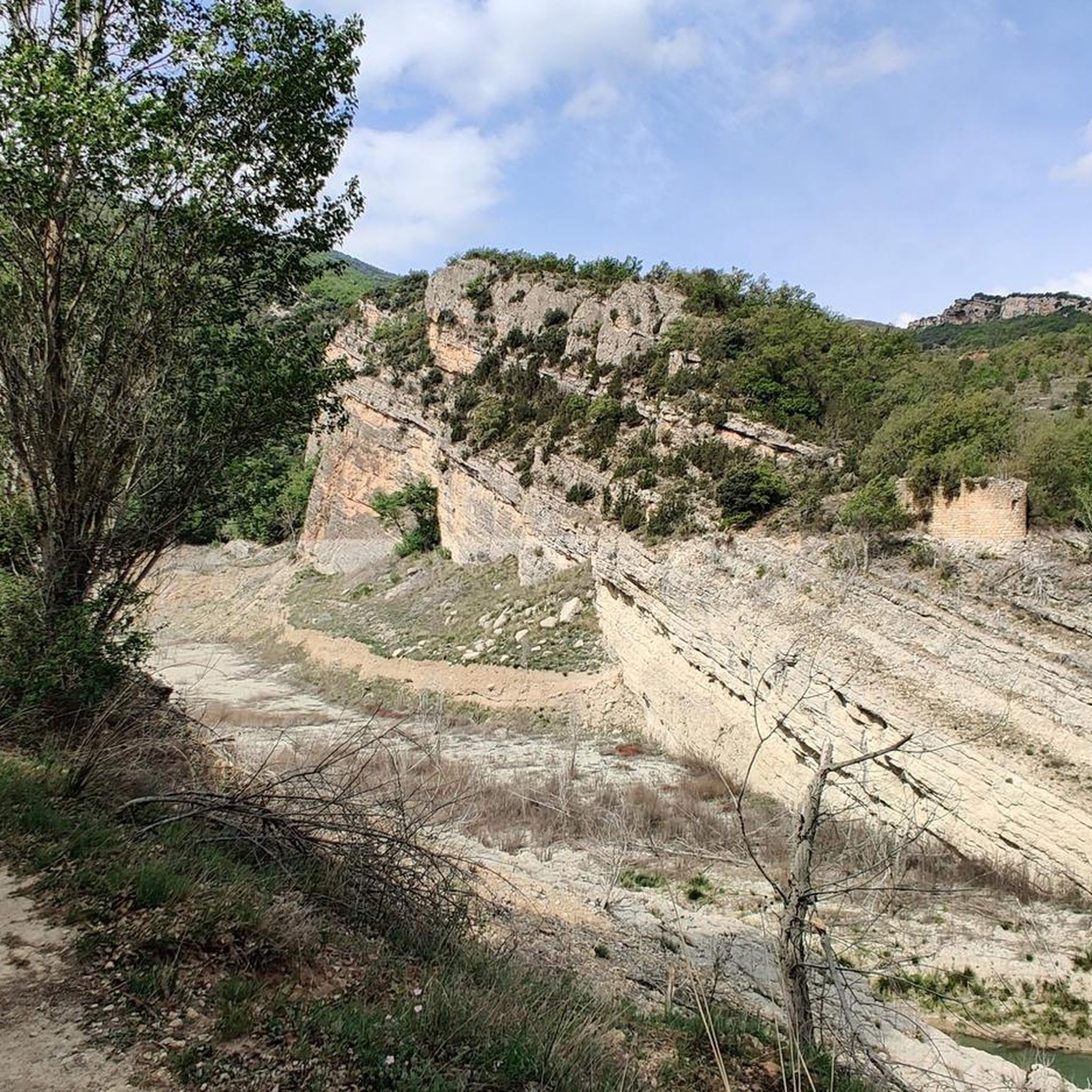
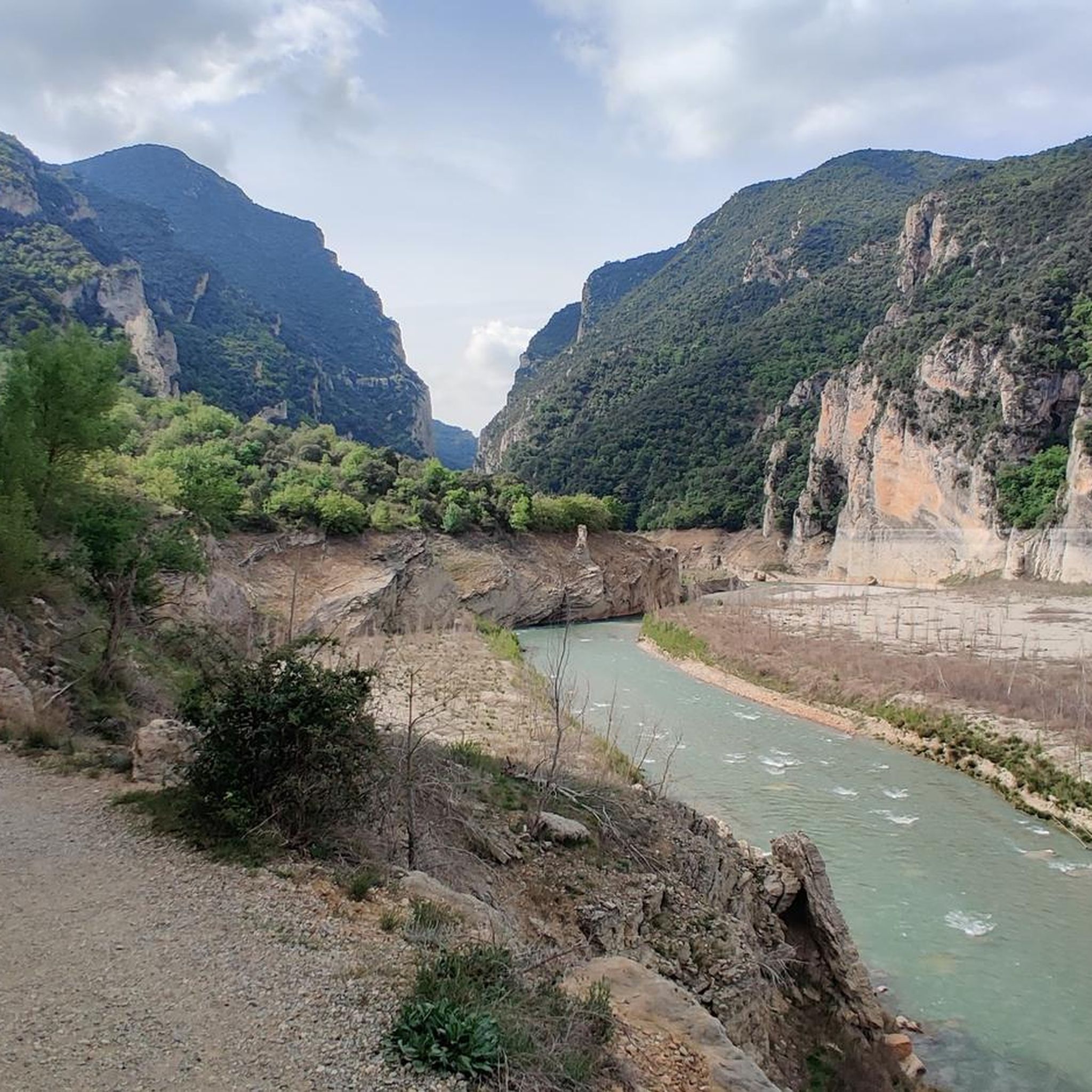
산트 에스테베 데 라 사르가 주변의 다른 모험

커뮤니티 팁

와, 이곳은 놓치면 안 됩니다! 이곳은 11세기로 거슬러 올라가는 요새화된 중세 마을입니다. 아헤르(Àger)는 몬트섹 산맥 기슭의 극적인 위치와 로마네스크 및 고딕 건축물의 보존으로 유명합니다.
0
0

One of the tallest dams in all of Europe. A crossing point between Aragon and Catalonia and the gateway to the Serra del Montsec.
0
0

Industrial remains of the building and headframe of the old manganese mine in Estopiñán del Castillo.
0
0

Good path for mountain bikes, doable with gravel bikes but not very nice
0
0
Ermita closed, but has space for tent on the meadow in front of it. Tower next to it is open and has space for a 2 person tent (against bugs) but it's really cold in it. Okay for sudden rain, thunderstorms
0
0

At the top of the climb there is an old church with rest area and small meadow great for picnic.
0
0

Don't miss the return to Tremp via the Abella trail. Simply magical ;-)
0
0

It is a port in the Montsec mountain range that allows access to the beautiful valley where the town of Àger is located, with imposing vertical mountains that give a lot of charm and spectacularity to the valley, especially in spring where the green of the trees, the red of poppies and the warm yellow of wheat. The port is very stinky on both sides since the road is very wide, normally with 3 lanes, and with long straights, which take away any type of cycling attraction. However, the views from the port, especially towards the Àger valley, are spectacular. I climbed it on the southern slope, the one that begins in Balaguer. From Balaguer it is almost 25 km, with continuous ups, downs and flat areas. The final uphill section is 5.5 km at 6 - 7%, with a rest section when crossing the town of Sant Josep de Fontdepou
0
0
산트 에스테베 데 라 사르가 주변에서 가장 인기 있는 명소


더 살펴보기
다른 지역의 최고의 그래블 라이딩를 살펴보세요.
