우드셋 주변 최고의 그래블 라이딩 코스
4.5
(19)
121
자전거 타는 사람
19
라이딩
우드셋 주변의 엄선된 그래블 라이딩 코스에서 거친 라이딩의 매력을 경험하세요. 도전정신을 자극하는 업힐 코스이든 아름다운 풍경 트레일이든, 우드셋 주변 최고의 그래블 라이딩 경로를 살펴보세요.
마지막 업데이트: 10월 19, 2026
4.4
(5)
27
자전거 타는 사람
24.7km
01:24
190m
190m
보통 자갈길 타기. 좋은 체력 필요. 대부분 포장된 노면.
4.5
(6)
33
자전거 타는 사람
20.1km
01:07
120m
120m
초급용 그래블 라이딩. 대부분 포장된 노면.

4.0
(1)
7
자전거 타는 사람
86.9km
05:04
700m
700m
어려운 자갈길 타기. 우수한 체력 필요. 대부분 포장된 노면.
4.0
(3)
18
자전거 타는 사람
43.7km
02:31
350m
350m
보통 자갈길 타기. 좋은 체력 필요. 대부분 포장된 노면.
5.0
(1)
12
자전거 타는 사람
51.6km
02:52
440m
440m
보통 자갈길 타기. 좋은 체력 필요. 대부분 포장된 노면.
더 다양한 경로와 다른 탐험가들의 추천을 살펴보세요.
이미 komoot 계정이 있나요?
투어 추천은 다른 사람들이 komoot에서 완료한 수천 개의 활동을 바탕으로 구성되어 있습니다.
오늘 무료 계정으로 시작하세요
다음 모험이 기다리고 있어요.
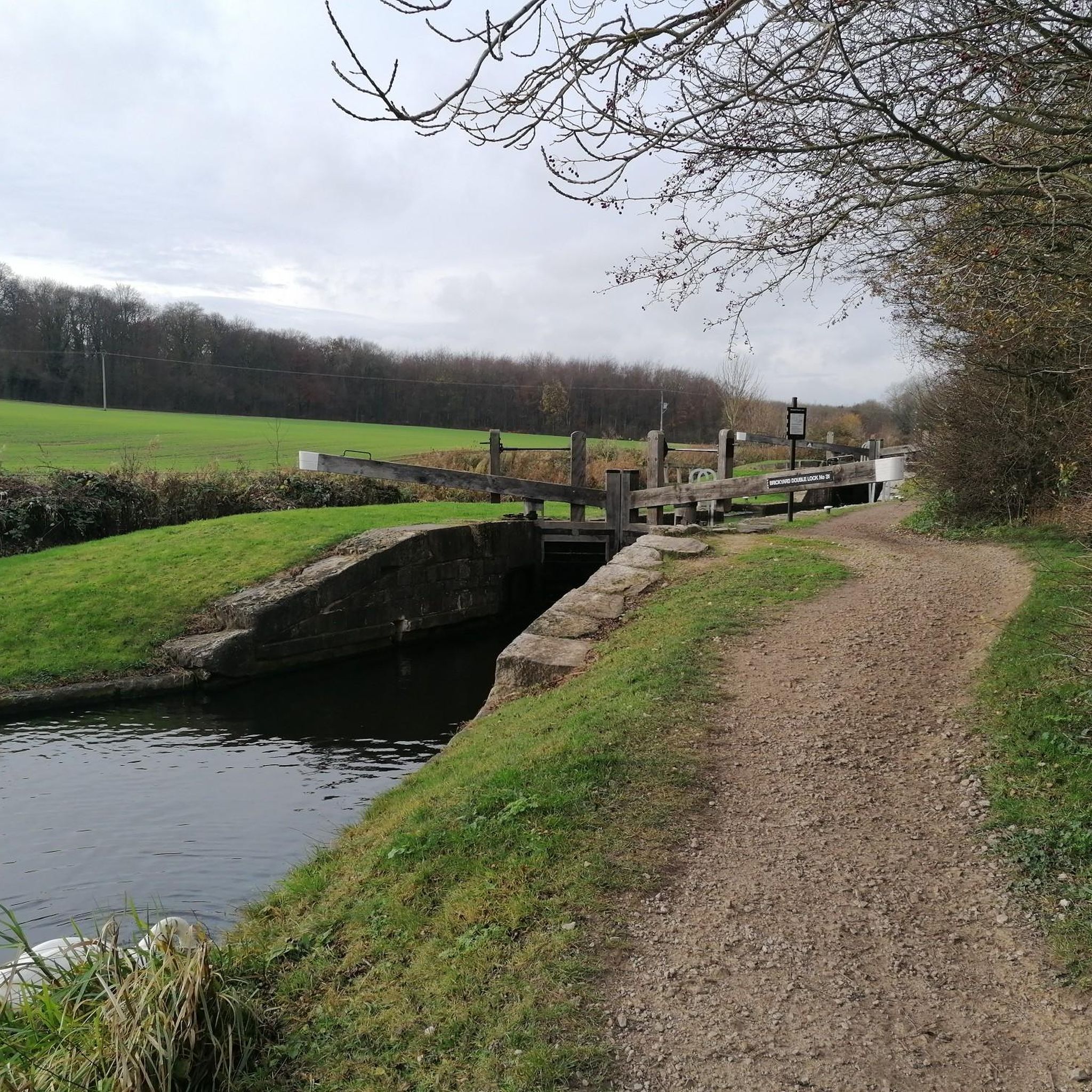
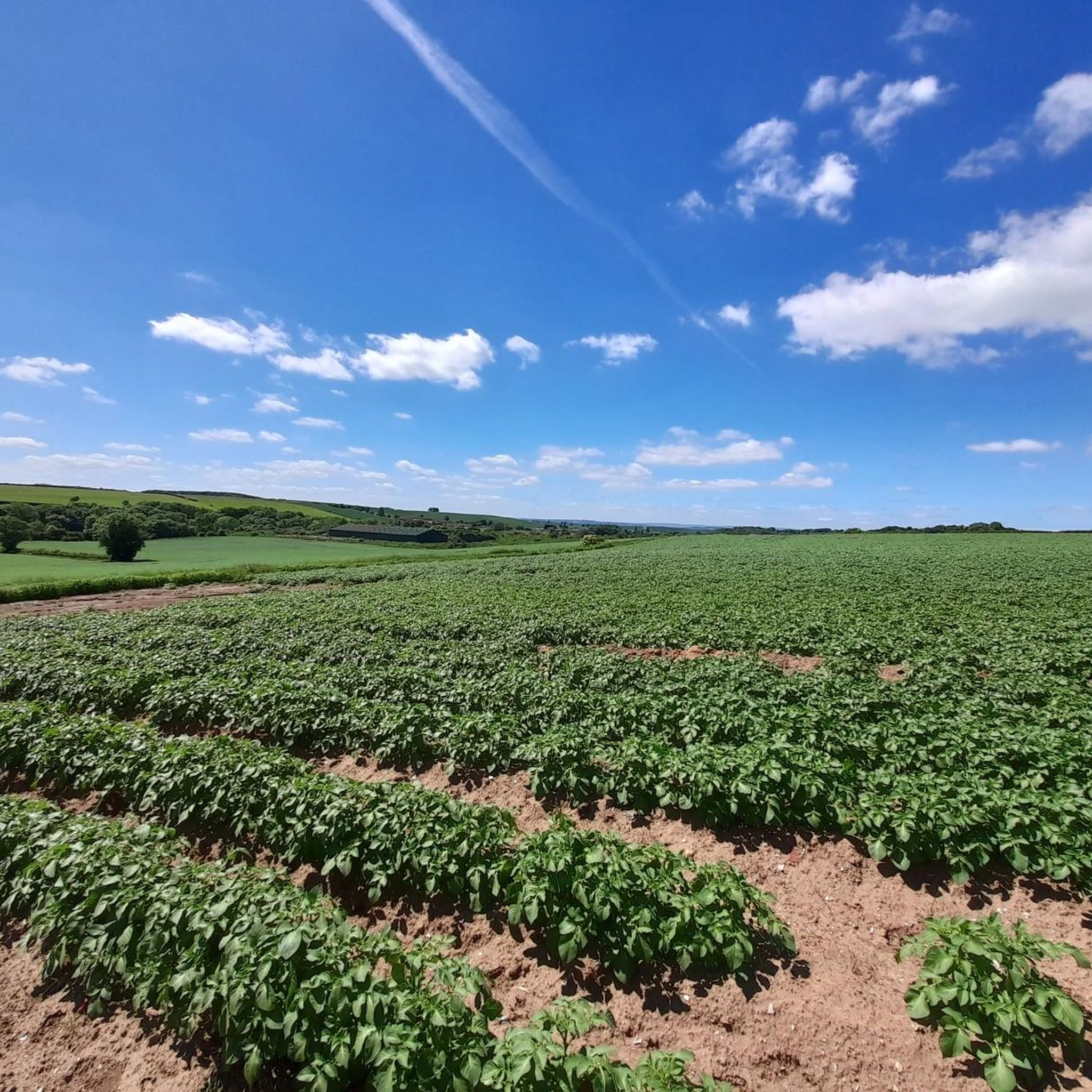
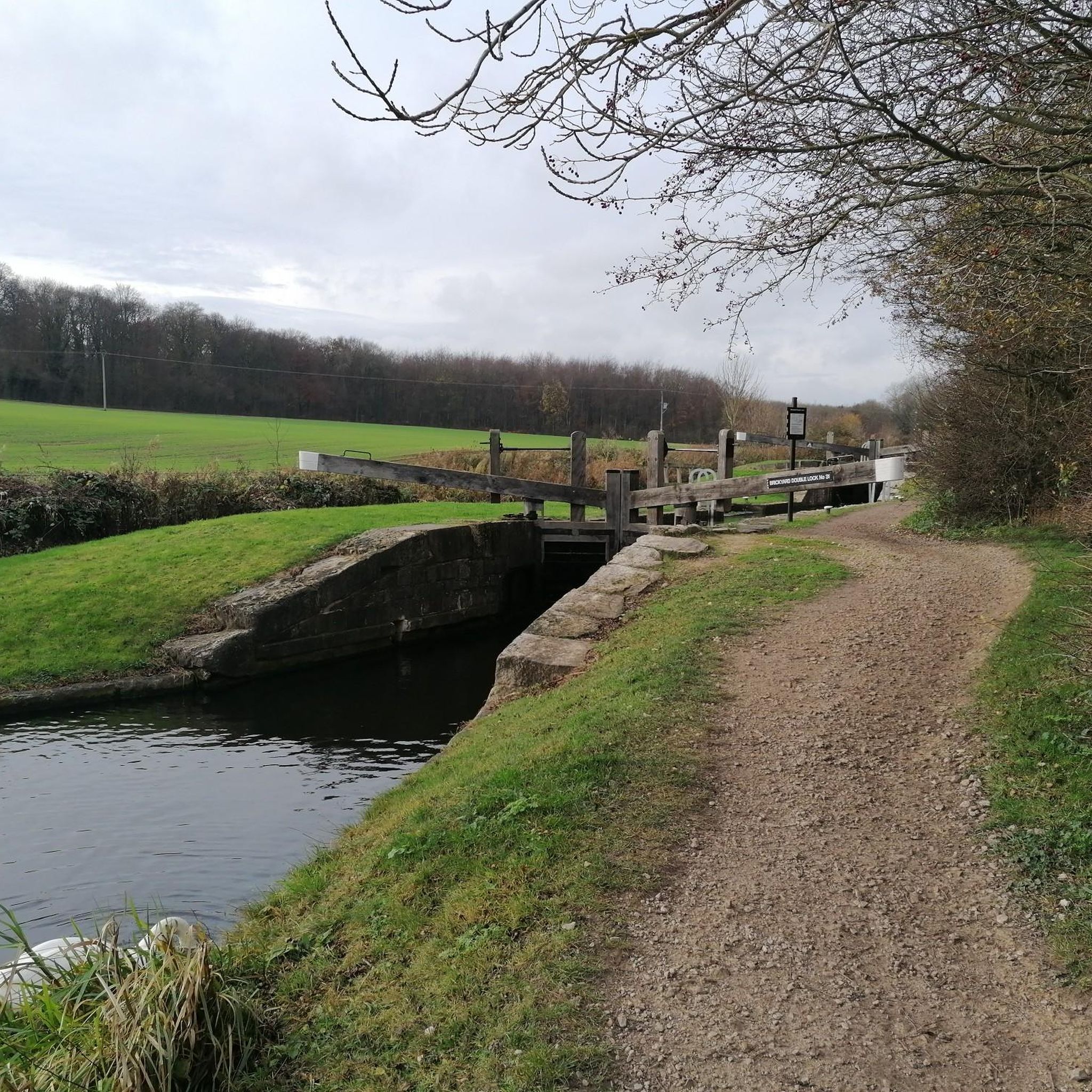
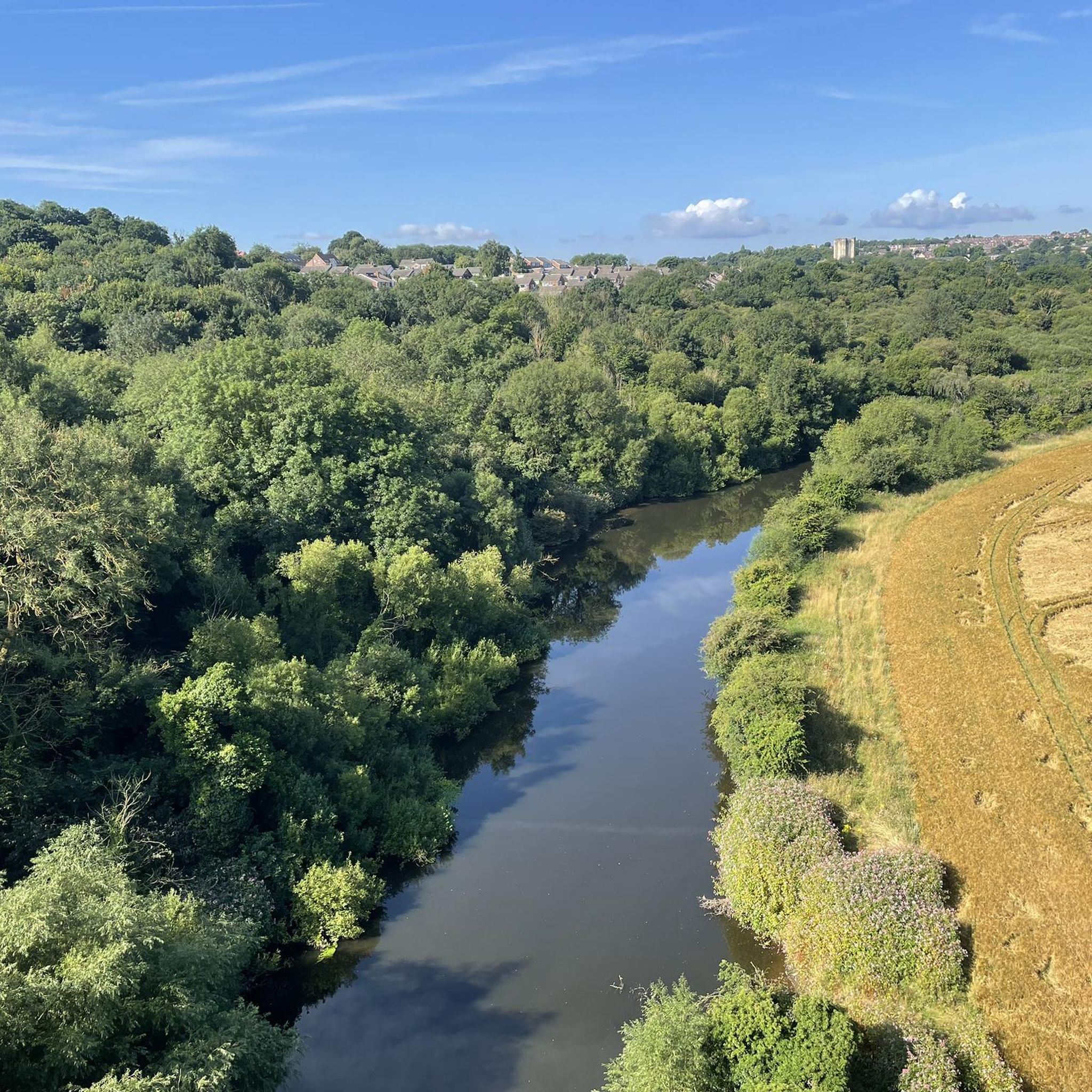
커뮤니티 팁

도로와 빠른 속도의 싱글 트랙 라이딩의 훌륭한 조합입니다. Sherwood Pines까지 포함한 다양한 지역 루트로 연결됩니다.
0
0


The weir at the end of Clumber Lake is the controlled overflow point for the estate's long ornamental water. Water gently flows over a low broad spillway continuing downstream into the lake. The steady sound of flowing water provides a natural pause point.
0
0

The station was opened without ceremony on 1 November 1888. The line was single track between Seymour Junction and Elmton and Creswell. Accordingly, the station had a single, curving platform and typical Midland Railway country station building very similar to those at Bolsover Castle and Glapwell. Remarkably, the station survived into the 21st Century, being demolished in 2000. On 4 July 1938 the station was renamed "Clown and Barlborough", then renamed again by British Railways on 18 June 1951, this time by adding a "e" to become "Clowne and Barlborough". The trackbed is now a greenway with the platform of Clowne and Barlborough as well as Clowne South Station visible. The station site forms a greenway between Staveley and Creswell via Clowne.
0
0

This wooden bridge can be very slippy when wet.
0
0

우드셋 주변에서 가장 인기 있는 경로
우드셋 주변에서 가장 인기 있는 명소


더 살펴보기
다른 지역의 최고의 그래블 라이딩를 살펴보세요.
