오베르모인 주변 최고의 그래블 라이딩 코스
4.6
(20)
50
자전거 타는 사람
13
라이딩
오베르모인 주변의 엄선된 그래블 라이딩 코스에서 거친 라이딩의 매력을 경험하세요. 도전정신을 자극하는 업힐 코스이든 아름다운 풍경 트레일이든, 오베르모인 주변 최고의 그래블 라이딩 경로를 살펴보세요.
마지막 업데이트: 10월 19, 2026
4.8
(12)
21
자전거 타는 사람
39.1km
02:41
520m
520m
어려운 자갈길 타기. 우수한 체력 필요. 대부분 포장된 지면. 실력과 관계없이 누구나 갈 수 있음.
3
자전거 타는 사람
60.1km
03:52
520m
520m
어려운 자갈길 타기. 우수한 체력 필요. 대부분 포장된 지면. 실력과 관계없이 누구나 갈 수 있음.

5.0
(2)
8
자전거 타는 사람
32.1km
02:13
430m
430m
보통 자갈길 타기. 좋은 체력 필요. 대부분 포장된 지면. 실력과 관계없이 누구나 갈 수 있음.
5.0
(1)
3
자전거 타는 사람
44.1km
02:58
380m
380m
보통 자갈길 타기. 좋은 체력 필요. 대부분 포장된 지면. 실력과 관계없이 누구나 갈 수 있음.
4.5
(2)
4
자전거 타는 사람
28.4km
02:02
310m
310m
보통 자갈길 타기. 좋은 체력 필요. 대부분 포장된 지면. 실력과 관계없이 누구나 갈 수 있음.
더 다양한 경로와 다른 탐험가들의 추천을 살펴보세요.
이미 komoot 계정이 있나요?
투어 추천은 다른 사람들이 komoot에서 완료한 수천 개의 활동을 바탕으로 구성되어 있습니다.
오늘 무료 계정으로 시작하세요
다음 모험이 기다리고 있어요.


커뮤니티 팁

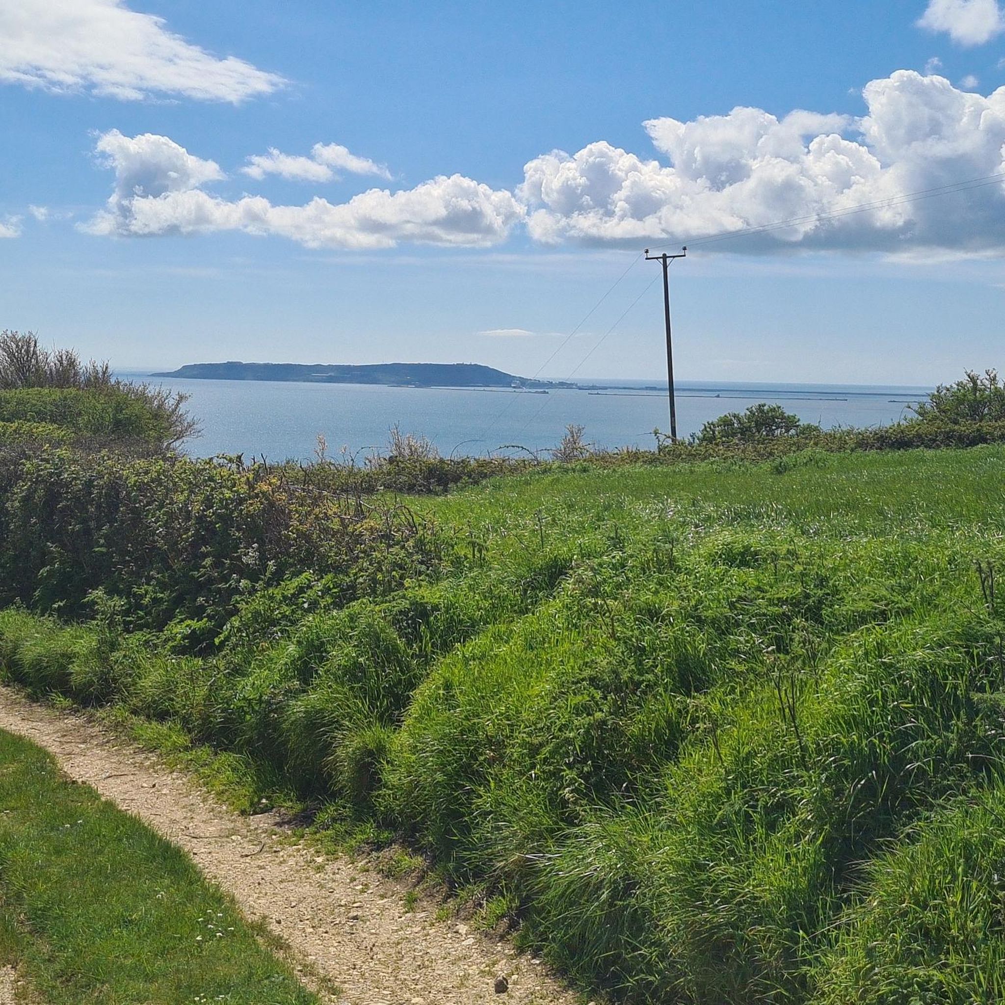
휴식을 취하고 경치를 감상하기에 좋은 곳입니다
0
0

멀리서 본 Maiden Castle? 기본적으로 도싯의 궁극의, 거대한 잔디 라자냐 접시입니다. 수평선에 있는 거대하고 울퉁불퉁한 녹색 물결은 "와, 켈트족은 정말 잔디 깎는 것을 싫어했구나."라고 생각하게 만듭니다.
0
0
Hardy's Monument: 120개의 계단을 올라 땀에 흠뻑 젖은 모습이 되세요. 그래야 Dorset, 바다, 팝콘처럼 보이는 양들을 볼 수 있습니다. 맑은 날에는 집도 보입니다!
0
0
The North Dorset Trailway Connection Today, Spetisbury Station is a popular access point for the North Dorset Trailway. Trailhead: The section of the Trailway running from Spetisbury north to Sturminster Newton, largely following the old railway bed, is a well-maintained, traffic-free path for walking, cycling, and riding. Visitor Stop: The former station site makes a perfect place to stop, rest, and picnic while exploring the Trailway, offering fine views over the Stour Valley. It's a wonderful example of local history being preserved and repurposed for community and recreation!
0
0
The Spetisbury Station Project Unlike the bridge at Blandford, which remains a preserved structure, the Spetisbury station site is being actively restored by volunteers. The Project: The Spetisbury Station Project Group was formed in 2012 by dedicated volunteers to clear and preserve the abandoned site. What You Can See: While the original station buildings were demolished shortly after the 1956 closure, the project has cleared the site to reveal the foundations of the station buildings, the booking office, and the signal box. Ambience: The site is now a peaceful, landscaped green space featuring picnic areas, benches, and information boards. Volunteers have added replica signage and restored the platforms to recreate the atmosphere of the former country station. Wildlife Haven: The site is also managed to be a haven for local wildlife, with features like a wildlife pond, bat boxes, and specific flower borders.
0
0
The Railway and Closure Original Line: Spetisbury Station was located on the Somerset & Dorset Joint Railway (S&DJR), which connected Bath to Bournemouth. Opening: It originally opened on November 1, 1860, as part of the Dorset Central Railway's line from Wimborne to Blandford. It initially had a single platform. Double Track: Around 1901, the line was doubled through the station, and a second platform and a signal box were added to handle the increased traffic. Downgrade: Like many rural stations seeking to cut costs, it was downgraded to an unstaffed "halt" in 1934. Passenger Closure: The station closed completely to passengers on September 17, 1956, one of the early closures on the S&D line. Line Closure: Although the station itself was closed, the main S&DJR line through the site continued to operate passenger services until the whole route closed in March 1966. Goods traffic ceased in 1969, and the track was lifted in 1970.
0
0
오베르모인 주변에서 가장 인기 있는 명소


더 살펴보기
다른 지역의 최고의 그래블 라이딩를 살펴보세요.
