즈베베젬 주변 최고의 그래블 라이딩 코스
4.3
(104)
683
자전거 타는 사람
23
라이딩
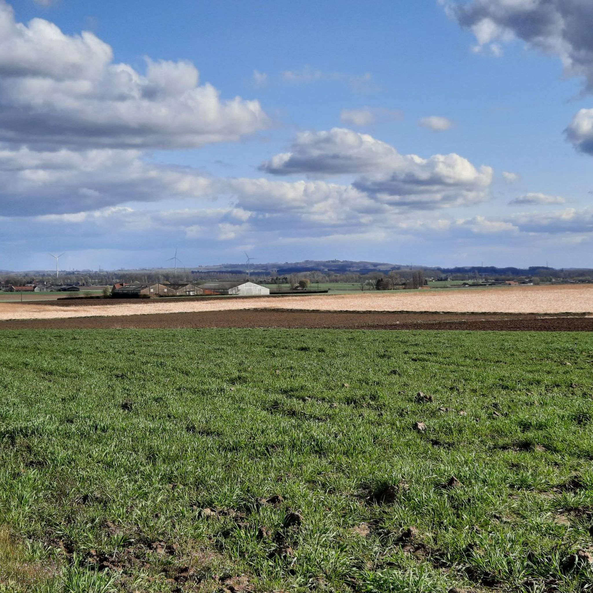
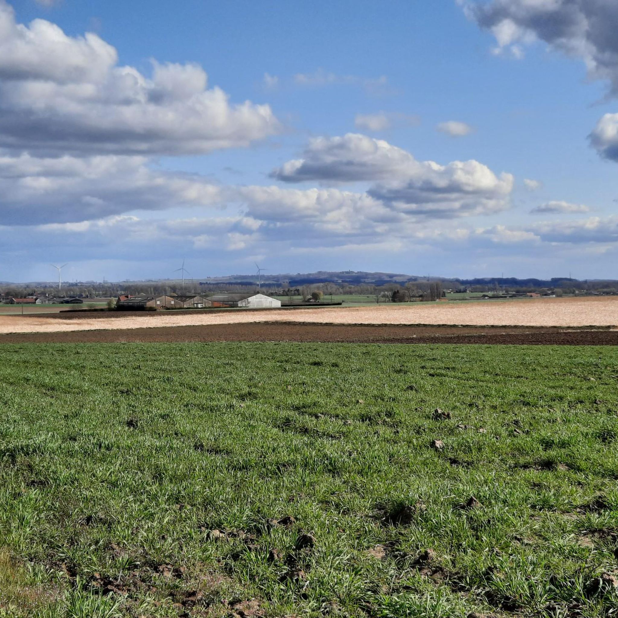
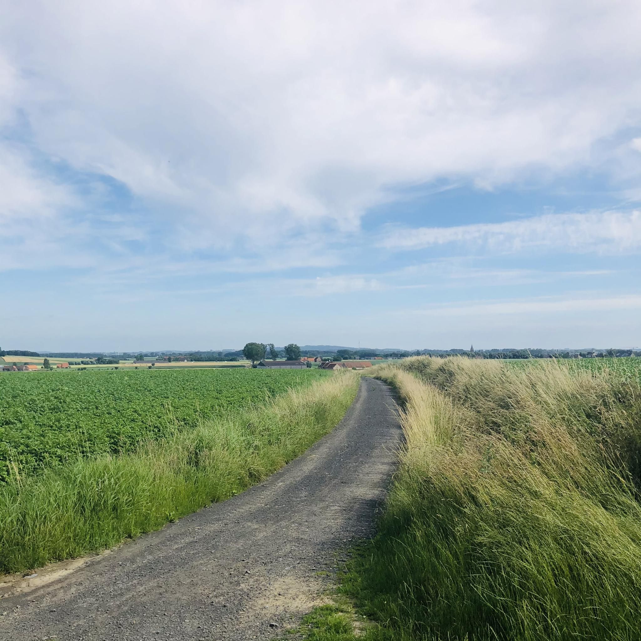
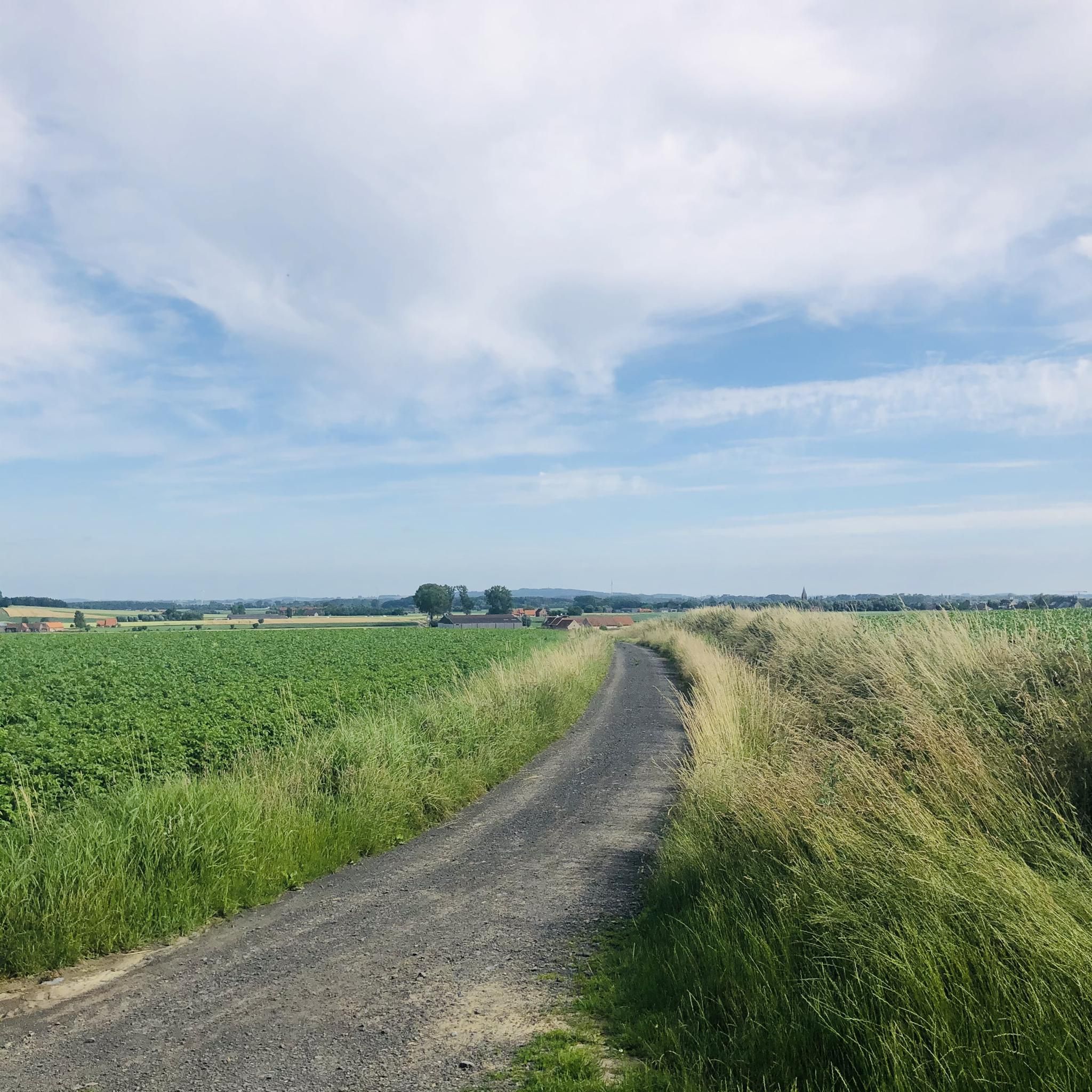
자벨 바이킹은 서플란데런 전역에 걸쳐 다양한 풍경을 제공하며, 포장되지 않은 도로, 흙길, 시골길의 네트워크가 특징입니다. 이 지역은 그림 같은 농경지, 매력적인 마을, 다양한 고도 변화를 특징으로 하여 사이클리스트에게 도전 과제를 제공합니다. 경로는 종종 다져진 자갈부터 더 험난한 구간까지 다양한 표면을 통합하며, 클루이스보스(Kluisbos)와 같은 넓은 숲을 통과하고 보쉬트-코트레이크 운하(Kanaal Bossuit-Kortrijk)를 따라 이어집니다. 이 풍경은 농업 지역을 통과하는 쉬운 라이딩과 오르막이 있는 더 힘든 모험 모두를 가능하게 합니다.
Zwevegem 주변 최고의 그래블 바이크 트레일
- 가장 인기 있는 그래블 바이크 트레일은 코트레이크 슈아우어스루트(Route…
마지막 업데이트: 8월 26, 2026
4.0
(5)
67
자전거 타는 사람
49.3km
03:29
290m
290m
보통 자갈길 타기. 좋은 체력 필요. 대부분 포장된 지면. 실력과 관계없이 누구나 갈 수 있음.
4.5
(2)
15
자전거 타는 사람
44.4km
03:02
110m
110m
어려운 자갈길 타기. 좋은 체력 필요. 투어 중 자전거를 끌고 가야 하는 구간이 있을 수 있음.

무료 회원 가입
4.8
(5)
54
자전거 타는 사람
58.1km
03:13
310m
310m
보통 자갈길 타기. 좋은 체력 필요. 대부분 포장된 지면. 실력과 관계없이 누구나 갈 수 있음.
4.0
(2)
47
자전거 타는 사람
54.2km
03:14
410m
410m
어려운 자갈길 타기. 좋은 체력 필요. 투어 중 자전거를 끌고 가야 하는 구간이 있을 수 있음.
25
자전거 타는 사람
34.1km
01:55
240m
240m
어려운 자갈길 타기. 좋은 체력 필요. 투어 중 자전거를 끌고 가야 하는 구간이 있을 수 있음.
더 다양한 경로와 다른 탐험가들의 추천을 살펴보세요.
무료 회원 가입
이미 komoot 계정이 있나요?
투어 추천은 다른 사람들이 komoot에서 완료한 수천 개의 활동을 바탕으로 구성되어 있습니다.
오늘 무료 계정으로 시작하세요
다음 모험이 기다리고 있어요.
로그인 또는 가입하기
커뮤니티 팁

Oude Scheldearm에 아름다운 피크닉 장소가 마련되었습니다. 그곳에서 물의 아름다운 전망을 즐길 수 있습니다.
7
0
플랑드르와 왈롱 지역 간의 자전거 이용자와 보행자를 위한 실용적이고 원활한 연결입니다.
6
0


안타깝게도 주변에 녹색 길이 많이 남아 있지 않습니다. 이 길을 거칠게 놔두고 포장하지 말아 주세요.
0
0

The castle and its outbuildings will soon be taken over by companies specializing in the renovation of historical monuments. Les Amis du Château d'En Haut (non-profit organization) specializes in estate rentals, and the proceeds are redistributed to restoration projects (Pineal Project: workshops, ceremonies, product presentations, exhibitions, performances, etc.). This is stated at: www.chateaudebossuit.com When I passed by, the gate on Kasteeldreef was simply open. There was nothing to indicate that the estate was inaccessible. For example, in the garden to the left of the castle, there seemed to be the remains of a pop-up bar or some kind of public event. When I left the estate on the Doorniksesteenweg side, the automatic gate gently opened for me. When I turned around, I saw a sign saying "Private / No Access."
2
0
The Kooigembospad winds from Kooigem to the Trimaarzate (the Green Axis that runs from Avelgem to Spiere on the bed of the former Kortrijk-Ronse railway line). As the name suggests, the path leads to the slightly higher Kooigembos, but narrowly misses it. The forest itself is not open to the public.
4
0
Tontestraat (and not 'Tontestraat' as this highlight was originally called) climbs towards Geitenberg, the highest point in Kooigem. There stands the 18th-century Tonte Chapel, which, together with its neighbor, the poplar, forms a landmark in this field-dominated area.
4
0


