그뢰베르너 호수 주변 최고의 그래블 라이딩 코스
4.8
(5)
29
자전거 타는 사람
4
라이딩
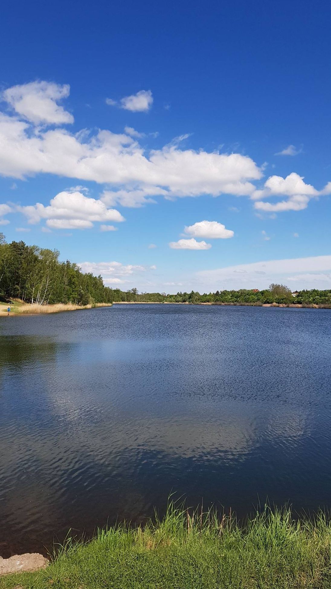
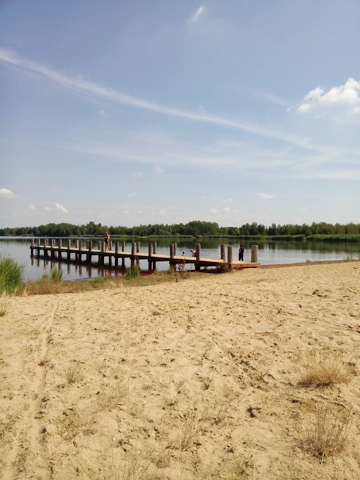
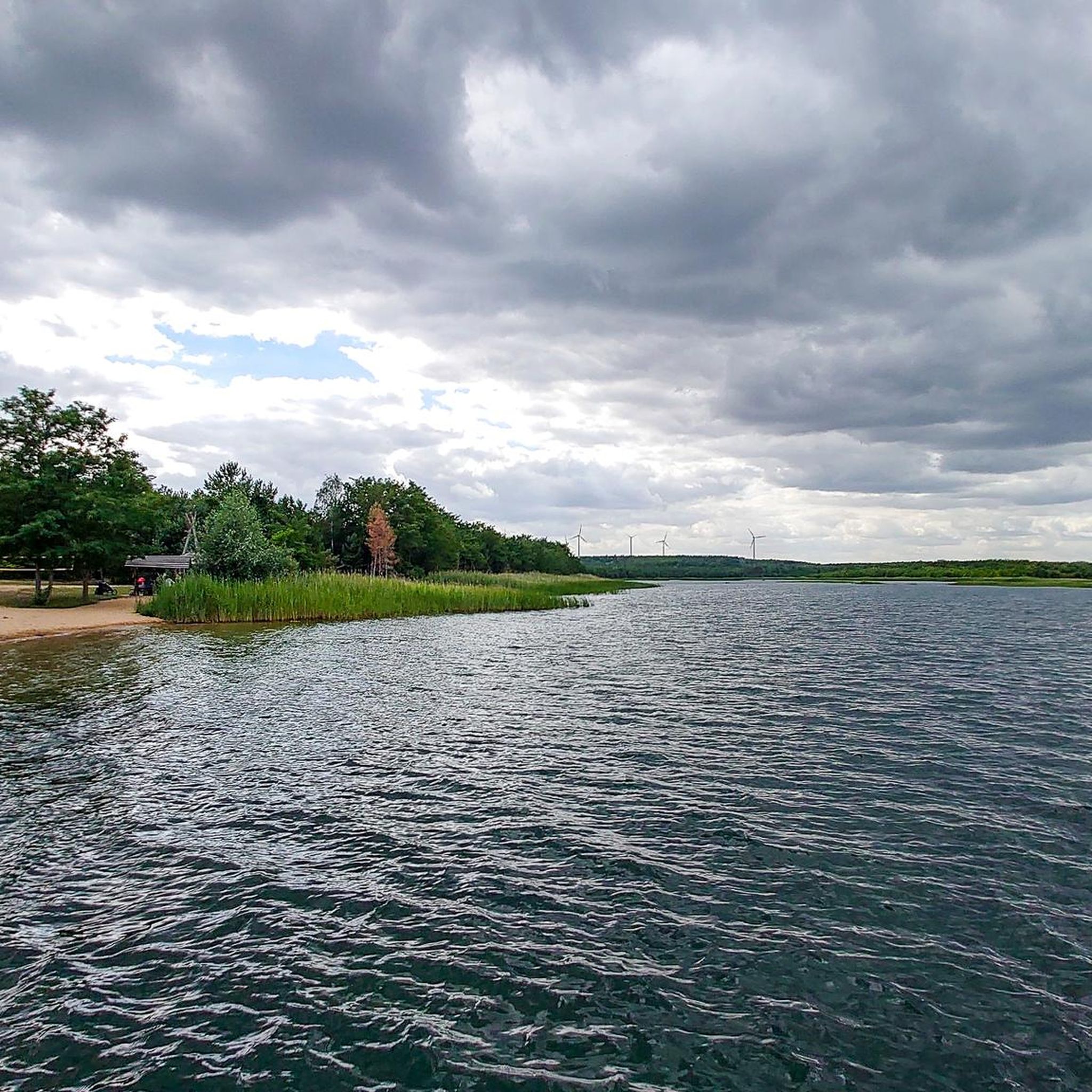
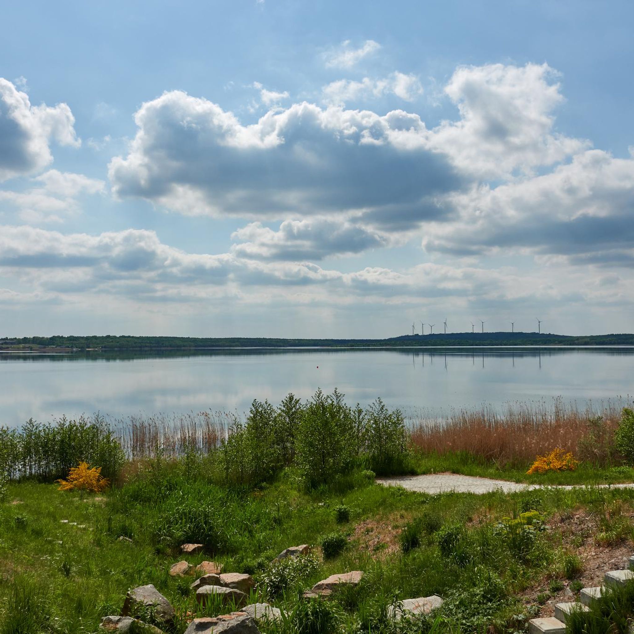
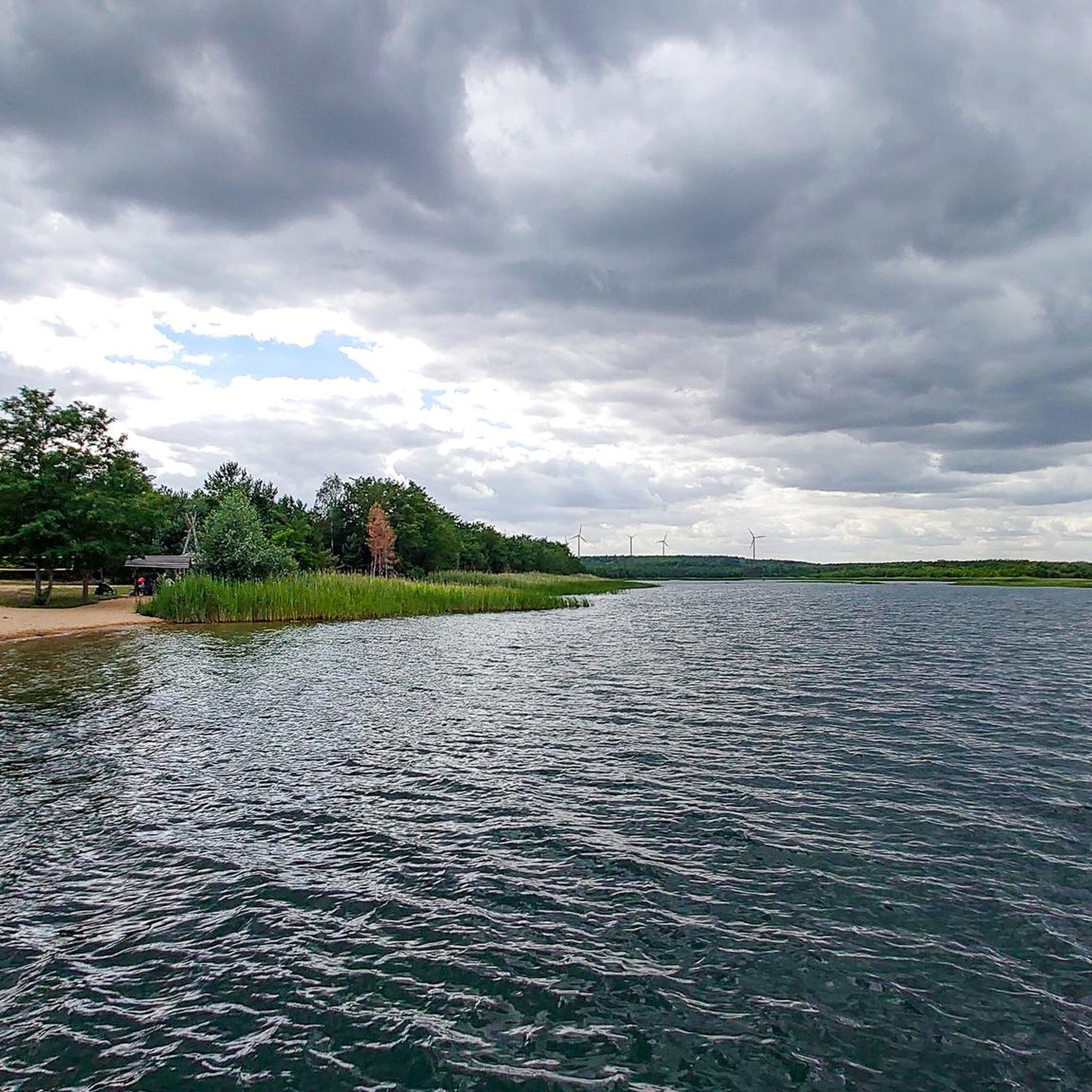
그래블 바이크를 타고 그뢰버너 호수(Gröberner Lake) 주변을 달리면 과거 갈탄 채굴로 형성된, 이제는 복구된 지역, 인공 호수, 주변 숲으로 특징지어지는 풍경을 가로지르는 코스를 즐길 수 있습니다. 지형은 일반적으로 다져진 자갈길, 숲길, 포장된 구간이 혼합되어 있어 그래블 바이크에 다양한 노면을 제공합니다. 고도는 대체로 완만하며, 호수 주변과 가까운 숲을 통과하는 완만한 오르막과 내리막이 있습니다. 이 지역은 독특한 산업 폐허 이후의 자연을 탐험하기에 적합한 트레일 네트워크를 제공합니다.
그뢰버너 호수 주변 최고의 그래블 바이크 트레일
- 가장 인기 있는 그래블 바이크 트레일은 베르크비츠 호수 –…
마지막 업데이트: 10월 6, 2026
6
자전거 타는 사람
41.0km
02:01
100m
100m
보통 자갈길 타기. 좋은 체력 필요. 대부분 포장된 지면. 실력과 관계없이 누구나 갈 수 있음.
5.0
(2)
2
자전거 타는 사람
26.7km
01:34
70m
70m
초급용 그래블 라이딩. 모든 체력 수준에 적합. 대부분 포장된 지면. 실력과 관계없이 누구나 갈 수 있음.

5.0
(2)
3
자전거 타는 사람
41.2km
02:19
140m
140m
보통 자갈길 타기. 좋은 체력 필요. 대부분 포장된 지면. 실력과 관계없이 누구나 갈 수 있음.
4.5
(2)
19
자전거 타는 사람
15.9km
00:49
40m
40m
초급용 그래블 라이딩. 모든 체력 수준에 적합. 대부분 포장된 지면. 실력과 관계없이 누구나 갈 수 있음.
1
자전거 타는 사람
26.3km
01:33
60m
60m
초급용 그래블 라이딩. 모든 체력 수준에 적합. 대부분 포장된 지면. 실력과 관계없이 누구나 갈 수 있음.
투어 추천은 다른 사람들이 komoot에서 완료한 수천 개의 활동을 바탕으로 구성되어 있습니다.
오늘 무료 계정으로 시작하세요
다음 모험이 기다리고 있어요.

커뮤니티 팁

풀버하위셴(Pulverhäuschen)은 과거 폭발물 저장에 사용되었던 역사적인 건물입니다. 그곳에 저장된 폭발물은 물데(Mulde) 강의 빙벽이나 얼음 장벽을 제거하는 데 사용되었습니다. 이 건물은 불규칙한 조약돌 쌓기 방식으로 지어졌으며, 첨두 아치형 통형 볼트로 덮여 있습니다. 건물 모서리의 각석, 받침대의 띠돌림, 돌출된 처마돌림, 그리고 이중 덮개는 붉은 벽돌로 만들어졌습니다. 통형 볼트의 외부 표면은 회반죽으로 마감되었습니다. 풀버하위셴은 수많은 손상을 보이고 있으며, 특히 벽돌 쌓기의 결손, 손상되었거나 부적절하게 보수된 줄눈, 통형 볼트의 회반죽 박리, 그리고 불충분한 기초로 인한 명확한 침하가 있습니다. 출처 https://www.raguhn-jessnitz.de/de/pulverhaeuschen.html
3
0

그뢰베르너 호수 주변에서 가장 인기 있는 명소


더 살펴보기
다른 지역의 최고의 그래블 라이딩를 살펴보세요.
