뫼제너 호수 주변 최고의 그래블 라이딩 코스
4.6
(6)
57
자전거 타는 사람
25
라이딩
그래블 바이크를 타고 뫼제너 호수 주변을 달리면 숲과 초원이 있는 완만하게 구릉진 풍경 속에서 다양한 지형을 경험할 수 있습니다. 이 지역은 젊은 빙퇴석 지형으로 특징지어지며, 평평한 빙퇴석과 구불구불한 빙퇴석이 모두 있어 사이클링에 다양한 노면을 제공합니다. 맑은 호숫물, 넓은 숲, 울창한 초원은 루트에 그림 같은 배경을 선사합니다. 이 환경에는 완만한 경사, 구불구불한 언덕, 자연 지역을 따라 조성된 잘 정비된 길이 포함됩니다.
뫼제너 호수 주변 최고의 그래블 바이크 코스
- 가장 인기 있는 그래블 바이크 코스는 2시간 16분이 소요되는 37.2km 길이의 바커 하이데…
마지막 업데이트: 7월 30, 2026
4.0
(1)
10
자전거 타는 사람
37.2km
02:17
120m
120m
보통 자갈길 타기. 좋은 체력 필요. 대부분 포장된 지면. 실력과 관계없이 누구나 갈 수 있음.
3
자전거 타는 사람
64.2km
03:27
170m
170m
보통 자갈길 타기. 좋은 체력 필요. 대부분 포장된 지면. 실력과 관계없이 누구나 갈 수 있음.

무료 회원 가입
5.0
(1)
8
자전거 타는 사람
59.4km
03:10
140m
140m
보통 자갈길 타기. 좋은 체력 필요. 대부분 포장된 지면. 실력과 관계없이 누구나 갈 수 있음.
4.0
(1)
8
자전거 타는 사람
30.6km
01:35
130m
130m
초급용 그래블 라이딩. 모든 체력 수준에 적합. 대부분 포장된 지면. 실력과 관계없이 누구나 갈 수 있음.
5.0
(1)
5
자전거 타는 사람
62.3km
03:31
290m
300m
보통 자갈길 타기. 좋은 체력 필요. 대부분 포장된 지면. 실력과 관계없이 누구나 갈 수 있음.
더 다양한 경로와 다른 탐험가들의 추천을 살펴보세요.
무료 회원 가입
이미 komoot 계정이 있나요?
투어 추천은 다른 사람들이 komoot에서 완료한 수천 개의 활동을 바탕으로 구성되어 있습니다.
오늘 무료 계정으로 시작하세요
다음 모험이 기다리고 있어요.
로그인 또는 가입하기
커뮤니티 팁

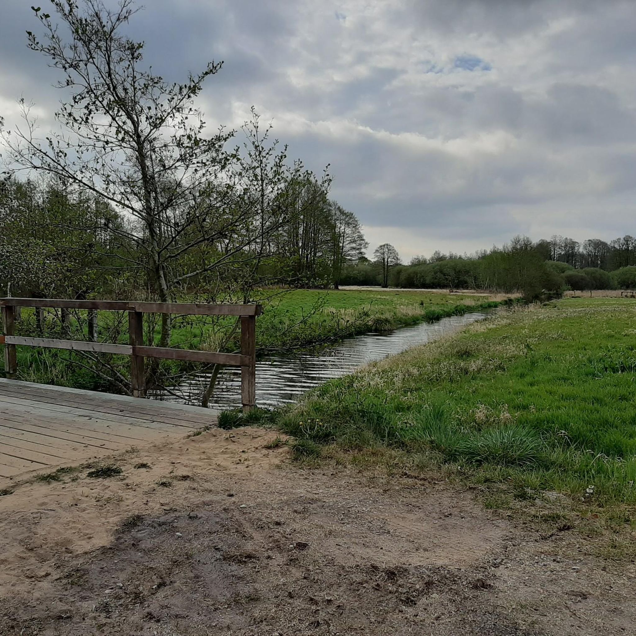
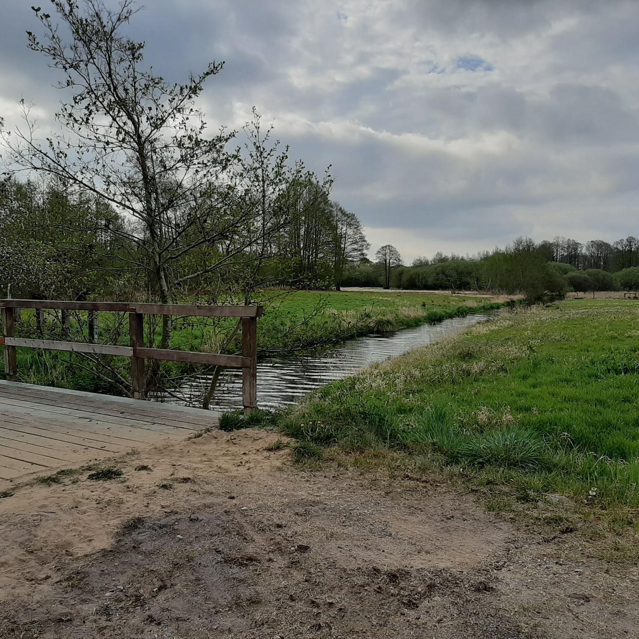
새로운 다리가 그다지 예쁘지는 않지만… 물론 유용하고, 아예 존재한다는 것이 좋습니다.
1
0


Construction of the new bridge began in November 2025.
0
0

Bridge over the Trave, wonderful view, invites you to relax.
0
0

The Nienwohlder Moor lies on the watershed between the North Sea and the Baltic Sea.[2] It drains to the west into the Lankau, to the south into the Alte Alster, and to the north into the Norderbeste. The nature reserve, which is managed by the Schleswig-Holstein State Hunting Association with the exception of the areas owned by the State Forestry Administration[5],[6] can be almost completely circumnavigated on hiking trails, along which information boards are posted at several locations. In the west, a hiking trail runs through the protected area in the area of the Lunden, a towering moraine ridge.
0
0
Today, typical raised moor vegetation can once again be found in the nature reserve, including round-leaved sundew, narrow-leaved cottongrass, bladderwort, white beak sedge, sedge cottongrass, cranberry, as well as cross-leaved heather, rosemary, and common heather. The nature reserve also represents an important habitat for birds. Various wading birds such as the curlew and the common snipe, as well as ducks such as the shoveler, teal, tufted duck, and garganey, as well as meadow pipits, whinchats, and stonechats, are native here. Marsh harriers and short-eared owls can also be found here. The undisturbed moorland is a refuge for cranes, which are now breeding here again. Various woodpecker species, red-backed shrikes, and songbirds are native to the wooded moorland areas. The nature reserve also provides a habitat for various amphibians and reptiles, as well as insects such as dragonflies and butterflies.
0
0
The moor was renaturalized in the 1980s through rewetting measures.[2][3] Today, in the area of former industrial use, it is an open raised bog with numerous water-filled peat pits, surrounded by a bog forest. The farmer's hand-cut peat pits at the edge of the moor are often water-filled. Sphagnum moss quaking grassland grows here, and the peat pits are slowly silting up. Further areas are occupied by grassland and forest. Some of the grassland is extensively grazed by robust cattle.[4] Some areas are still intensively used for agriculture, including one arable area.
0
0
Peat extraction, first documented in 1804, was initially carried out by peat-cutting by peat-farmers, and the peat was used as fuel. During the Napoleonic Wars of 1806–1813, peat was also shipped to Hamburg via the Alster. In the 20th century, peat extraction became an industrial operation. From 1951 to 1976, the white peat was extracted from an area of 84 hectares, initially by hand and later by machine.[2] East of Nahe, there was a peat loading point on the Elmshorn-Barmstedt-Oldesloe railway.
0
0
뫼제너 호수 주변에서 가장 인기 있는 명소


더 살펴보기
다른 지역의 최고의 그래블 라이딩를 살펴보세요.
