뉴사우스웨일즈 최고의 그래블 라이딩 코스
4.5
(65)
1,011
자전거 타는 사람
105
라이딩
뉴사우스웨일즈의 엄선된 그래블 라이딩 코스에서 거친 라이딩의 매력을 경험하세요. 도전정신을 자극하는 업힐 코스이든 아름다운 풍경 트레일이든, 뉴사우스웨일즈 최고의 그래블 라이딩 경로를 살펴보세요.
마지막 업데이트: 10월 24, 2026
4.5
(22)
75
자전거 타는 사람
23.0km
01:38
270m
270m
보통 자갈길 타기. 좋은 체력 필요. 대부분 포장된 노면.
34
자전거 타는 사람
78.5km
06:19
1,120m
1,120m
어려운 자갈길 타기. 우수한 체력 필요. 대부분 포장된 노면.

4.5
(2)
28
자전거 타는 사람
52.9km
04:07
840m
840m
어려운 자갈길 타기. 우수한 체력 필요. 대부분 포장된 노면.
3.0
(2)
33
자전거 타는 사람
50.0km
03:20
630m
630m
어려운 자갈길 타기. 우수한 체력 필요. 대부분 포장된 노면.
38
자전거 타는 사람
46.1km
02:58
530m
530m
어려운 자갈길 타기. 우수한 체력 필요. 대부분 포장된 노면.
16
자전거 타는 사람
55.1km
05:10
860m
860m
어려운 자갈길 타기. 우수한 체력 필요. 대부분 포장된 노면.
25
자전거 타는 사람
99.8km
08:02
1,500m
1,500m
어려운 자갈길 타기. 우수한 체력 필요. 대부분 포장된 노면.
20
자전거 타는 사람
104km
08:31
1,600m
1,600m
어려운 자갈길 타기. 우수한 체력 필요. 대부분 포장된 노면.
5.0
(1)
12
자전거 타는 사람
53.2km
04:29
1,120m
1,120m
어려운 자갈길 타기. 우수한 체력 필요. 대부분 포장된 노면.
4.0
(1)
20
자전거 타는 사람
74.6km
05:33
1,320m
1,320m
어려운 자갈길 타기. 우수한 체력 필요. 대부분 포장된 노면.
더 다양한 경로와 다른 탐험가들의 추천을 살펴보세요.
이미 komoot 계정이 있나요?
투어 추천은 다른 사람들이 komoot에서 완료한 수천 개의 활동을 바탕으로 구성되어 있습니다.
오늘 무료 계정으로 시작하세요
다음 모험이 기다리고 있어요.


커뮤니티 팁

비가 온 후에는 Waterboard Road 옆의 사암 절벽 위로 물이 넘쳐흘러 Prestons Gully의 이 조용한 구석을 작지만 사랑스러운 폭포로 만듭니다. 건기에는 폭포가 인상적이지 않으므로 타이밍이 중요합니다. 트랙 옆에서 볼 수 있지만, 울퉁불퉁한 바위 주변에서는 주의해야 하며, 폭포에 생기를 불어넣을 만큼 물이 충분할 때는 특히 미끄러울 수 있습니다.
0
0

레이디 캐링턴 드라이브는 로열 내셔널 파크를 가로질러 10킬로미터 뻗어 있으며, 이름에 "드라이브"가 있지만 오랫동안 자동차 통행이 금지되었습니다. 1886년에 대중에게 처음 개방되었을 때에는 마차로 이용되었습니다. 오늘날 이곳은 부시워킹, 달리기, 산악자전거 타기에 인기 있는 넓고 평평하며 가족 친화적인 흙길입니다. 길을 따라 독특한 바위 돌출부가 있으며, 일부 아래에는 피크닉 테이블이 놓여 있습니다. 레이디 캐링턴 드라이브는 해킹 강 동쪽 강둑을 따라 이어지며 키 큰 블루 검과 테레빈 나무 숲을 통과하여 구불구불 이어집니다. 이 길은 오들리 지역의 피그 트리 플랫에 있는 북쪽 끝에서 접근하거나, 서 버트럼 스티븐스 드라이브의 남쪽 게이트에서 접근할 수 있습니다.
0
0
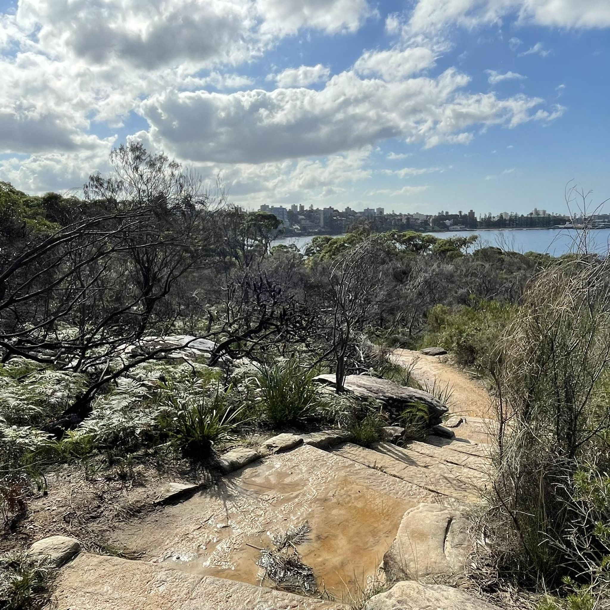
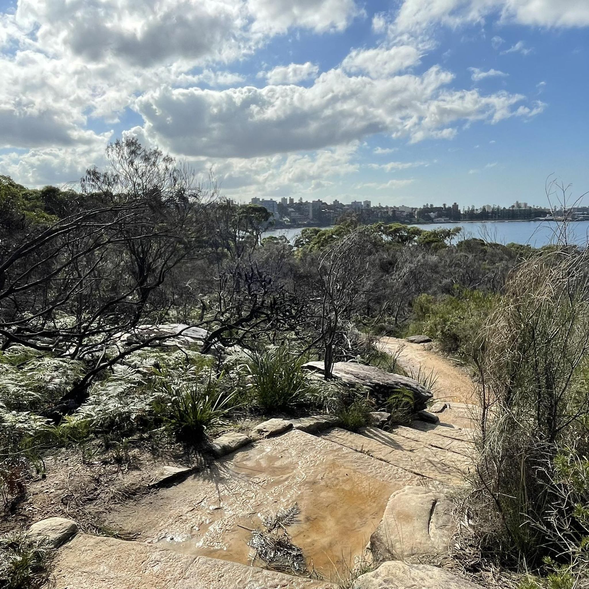
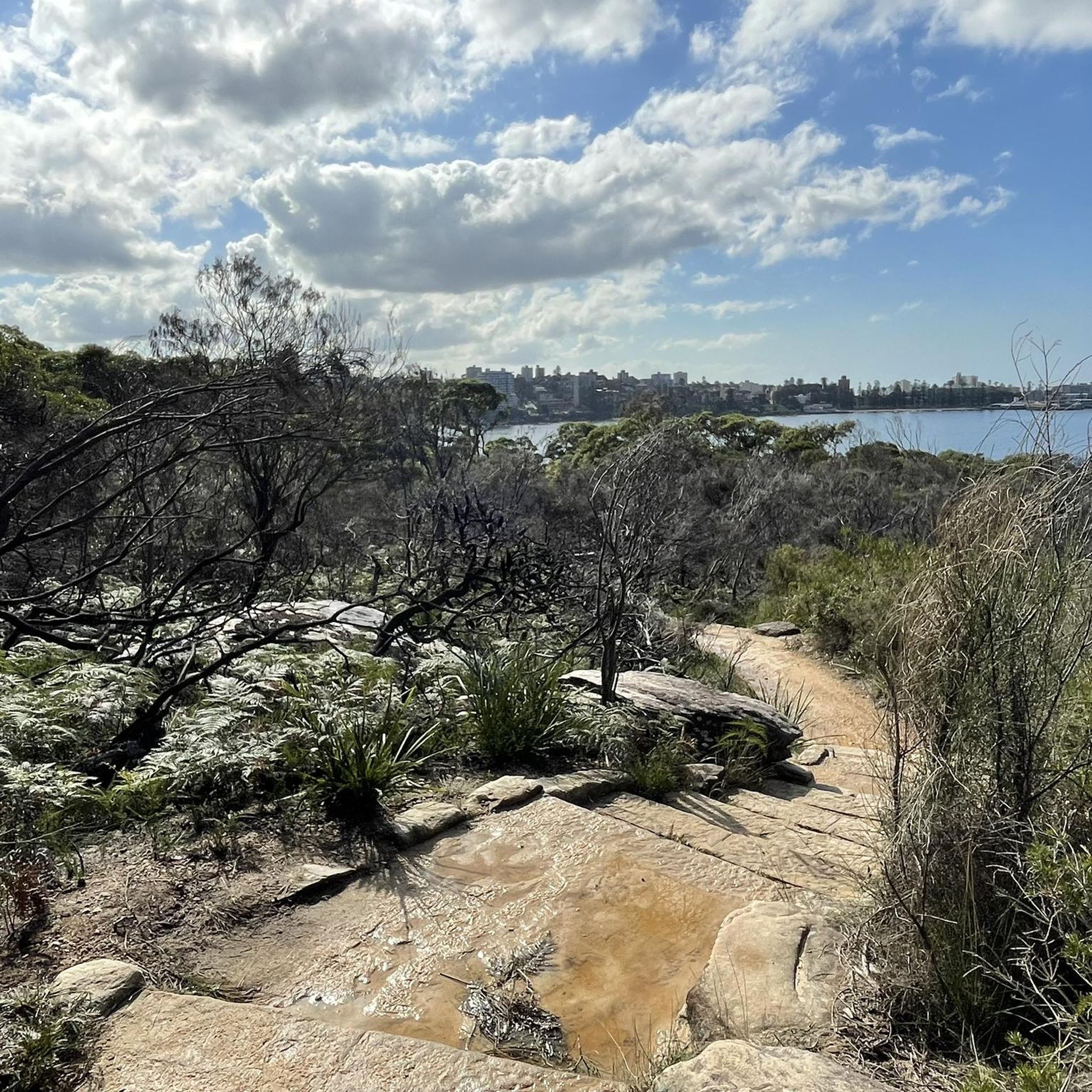
Tucked inside Cabbage Tree Bay, Shelly Beach is a sheltered cove and a favourite swimming spot at the northern end of Manly. Unlike most beaches along this stretch of coast, it faces west, which keeps the water calmer and makes it ideal for swimming, snorkelling, and stand-up paddleboarding. The beach sits within the protected Cabbage Tree Bay Aquatic Reserve, so it’s common to see fish close to shore in the clear water. A grassy reserve and café sit just behind the sand, making it an easy place to pause before continuing along the coastal path.
0
0
Cabbage Tree Bay Aquatic Reserve protects the clear waters between Manly Beach and Shelly Beach and is one of Sydney’s best spots to see marine life close to shore. Fishing is prohibited here, allowing fish populations to thrive, and snorkelers often spot blue gropers, rays, and large schools of fish in the calm bay. A popular underwater nature trail with information plaques sits just offshore near Shelly Beach. Even from the coastal path above, the protected bay’s clear water often reveals fish swimming below.
0
0
Pipeline Trail is a wide maintance road in Heathcote National Park, beginning near the end of Oliver Street and descending steadily into the Woronora valley. The surface is firm and consistent, making it popular for trail running and mountain biking as well as walking. In spring, sections of bushland are dotted with wildflowers. The track follows the Woronora River and passes Lake Eckersley, a calm bend with a sandy edge. Expect sustained climbs on the return, and stay alert for signage near restricted catchment areas.
0
0

The National Arboretum in Canberra has beautiful cycling tracks that run across the whole place. It’s perfect for mountain or gravel bikes. The natural scenery combined with the zen of flowing tracks and change in elevation means you could simply ride forever.
0
0

Great to cycle on with great views. Beware of stairs down and up to pass under at Southern end. Best to go to Northern End and take road down to low level road bridge to cross water to continue to Engadine
0
0
Good stop for wide range of reasonably priced food. Toilets at back -you need the key
0
0


더 살펴보기
다른 지역의 최고의 그래블 라이딩를 살펴보세요.
