헤레츠리드 주변 최고의 그래블 라이딩 코스
4.2
(42)
276
자전거 타는 사람
54
라이딩
헤레츠리드 주변의 엄선된 그래블 라이딩 코스에서 거친 라이딩의 매력을 경험하세요. 도전정신을 자극하는 업힐 코스이든 아름다운 풍경 트레일이든, 헤레츠리드 주변 최고의 그래블 라이딩 경로를 살펴보세요.
마지막 업데이트: 9월 8, 2026
4.4
(10)
46
자전거 타는 사람
28.3km
01:23
70m
70m
초급용 그래블 라이딩. 모든 체력 수준에 적합. 대부분 포장된 지면. 실력과 관계없이 누구나 갈 수 있음.
4.5
(6)
42
자전거 타는 사람
64.8km
03:14
160m
160m
보통 자갈길 타기. 좋은 체력 필요. 대부분 포장된 지면. 실력과 관계없이 누구나 갈 수 있음.

3.3
(3)
26
자전거 타는 사람
22.4km
01:07
50m
50m
초급용 그래블 라이딩. 모든 체력 수준에 적합. 대부분 포장된 지면. 실력과 관계없이 누구나 갈 수 있음.
4
자전거 타는 사람
38.0km
02:17
490m
490m
어려운 자갈길 타기. 우수한 체력 필요. 대부분 포장된 지면. 실력과 관계없이 누구나 갈 수 있음.
5.0
(10)
70
자전거 타는 사람
64.1km
03:11
220m
220m
보통 자갈길 타기. 좋은 체력 필요. 대부분 포장된 지면. 실력과 관계없이 누구나 갈 수 있음.
더 다양한 경로와 다른 탐험가들의 추천을 살펴보세요.
이미 komoot 계정이 있나요?
투어 추천은 다른 사람들이 komoot에서 완료한 수천 개의 활동을 바탕으로 구성되어 있습니다.
오늘 무료 계정으로 시작하세요
다음 모험이 기다리고 있어요.
커뮤니티 팁


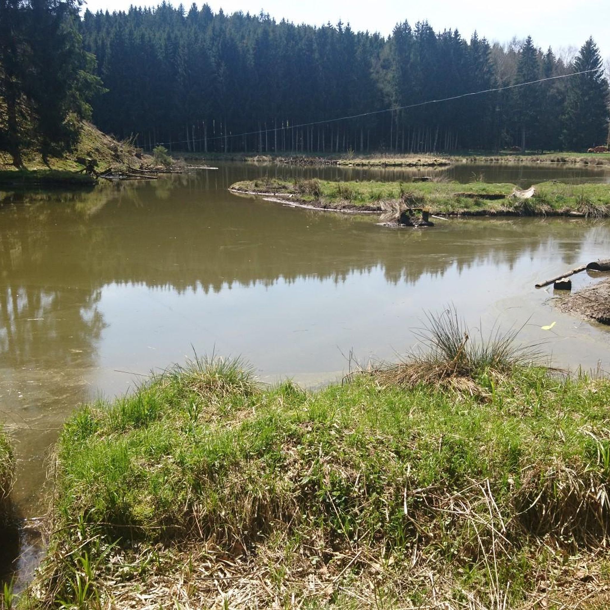
Lech의 수량에 따라 Gersthofen 제방 북쪽의 "강"은 어도 통과 장치를 통해 흐르는 물로만 공급되며, 물은 주로 Lech 운하로 흘러 들어갑니다.😒
0
0


At the northern end of the Wolfzahnau, the Wertach River flows into the Lech River. The Lech and Wertach rivers converge in the Wolfzahnau – a landscape conservation area within the city of Augsburg, located on the western bank of the Lech River. The Lech carries greenish water, while the Wertach carries brownish water.
1
0

The Wertach is the second longest river in the Allgäu.
0
0

The Lech is a right tributary of the Danube. The 256 km long river originates in Vorarlberg in the Hochtannberg region at the confluence of the Spullerbach and Formarinbach streams in the Tannläger valley. It flows through Tyrol and southern Bavaria, where it empties into the Danube. Shortly before the Austrian-German border, it joins the Vils river, forms the artificial Lechfall near Füssen, and crosses Swabia and Upper Bavaria on its way. The largest cities on the Lech are Landsberg and Augsburg; in this city, it receives its largest tributary, the Wertach. The river empties into the Danube near Marxheim. Source: Wikipedia
1
0
The Lech is a right tributary of the Danube. The 256 km long river originates in Vorarlberg in the Hochtannberg region at the confluence of the Spullerbach and Formarinbach streams in the Tannläger valley. It flows through Tyrol and southern Bavaria, where it empties into the Danube. Shortly before the Austrian-German border, it joins the Vils river, forms the artificial Lechfall near Füssen, and crosses Swabia and Upper Bavaria on its way. The largest cities on the Lech are Landsberg and Augsburg; in this city, it receives its largest tributary, the Wertach. The river empties into the Danube near Marxheim. Source: Wikipedia
2
1
헤레츠리드 주변에서 가장 인기 있는 명소


더 살펴보기
다른 지역의 최고의 그래블 라이딩를 살펴보세요.
