브라운라쥬 주변 최고의 그래블 라이딩 코스
4.6
(105)
787
자전거 타는 사람
58
라이딩
브라운라쥬 주변의 엄선된 그래블 라이딩 코스에서 거친 라이딩의 매력을 경험하세요. 도전정신을 자극하는 업힐 코스이든 아름다운 풍경 트레일이든, 브라운라쥬 주변 최고의 그래블 라이딩 경로를 살펴보세요.
마지막 업데이트: 10월 5, 2026
4.5
(16)
145
자전거 타는 사람
67.5km
04:49
1,410m
1,410m
어려운 자갈길 타기. 우수한 체력 필요. 투어 중 자전거를 끌고 가야 하는 구간이 있을 수 있음.
4.5
(6)
92
자전거 타는 사람
52.1km
03:11
650m
650m
어려운 자갈길 타기. 우수한 체력 필요. 대부분 포장된 지면. 실력과 관계없이 누구나 갈 수 있음.

4.3
(6)
52
자전거 타는 사람
43.1km
02:50
780m
780m
어려운 자갈길 타기. 우수한 체력 필요. 투어 중 자전거를 끌고 가야 하는 구간이 있을 수 있음.
4.5
(2)
27
자전거 타는 사람
79.7km
05:41
1,620m
1,620m
어려운 자갈길 타기. 우수한 체력 필요. 투어 중 자전거를 끌고 가야 하는 구간이 있을 수 있음.
4.0
(2)
19
자전거 타는 사람
64.5km
04:35
1,280m
1,280m
어려운 자갈길 타기. 우수한 체력 필요. 투어 중 자전거를 끌고 가야 하는 구간이 있을 수 있음.
더 다양한 경로와 다른 탐험가들의 추천을 살펴보세요.
이미 komoot 계정이 있나요?
투어 추천은 다른 사람들이 komoot에서 완료한 수천 개의 활동을 바탕으로 구성되어 있습니다.
오늘 무료 계정으로 시작하세요
다음 모험이 기다리고 있어요.
브라운라쥬 주변의 다른 모험


커뮤니티 팁

작은 식수 댐으로, 잔잔한 물가에 아름답게 위치하며 너도밤나무 경사면은 멋진 사진 촬영 장소를 제공합니다.
1
0


The reservoir supplies drinking water to the cities of Braunschweig, Wolfenbüttel, and Wolfsburg. The water is piped to the Lewerberg reservoir near Liebenburg, where drinking water from the Grane Dam also arrives. From there, a pipeline leads to the Thieder Lindenberg and further to the cities of Braunschweig and Wolfsburg. The water of the Ecker River is relatively acidic, with a pH of 4.6, due to the humic acid-rich moor streams. It is also low in nutrients and therefore well suited for drinking water treatment.[3] The dam is not used for fishing, as most fish cannot tolerate the low pH.[5] Below the dam, the water is almost neutral. Source: https://de.wikipedia.org/wiki/Eckertalsperre
3
0
The Ecker Dam (sometimes also called the Ecker Reservoir) is a dam near Bad Harzburg in the Harz Mountains, which was commissioned in 1943[1] and impounds the Ecker River and its tributaries. Operated by Harz Waterworks, the facility serves to supply drinking water, protect against flooding, increase low water levels, and generate energy.[2] Source: https://de.wikipedia.org/wiki/Eckertalsperre
3
0

This very cool bike path is – unusually for the Harz Mountains – fairly flat. The approximately 6 kilometers are easy to cycle along.
0
0

According to the information board, the ditch is almost 8km long, then plunges into the mines and eventually flows into the Sieber River. Incredible!
0
1

The weather was similar to the photo, very nice….
0
0

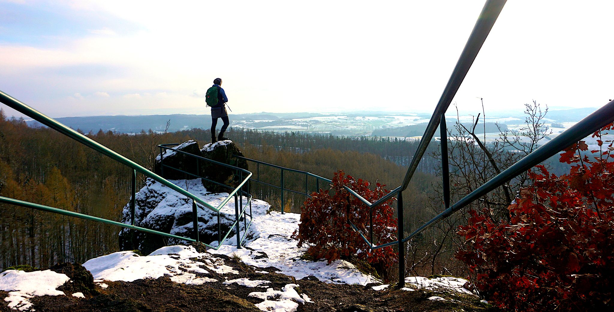
The Trudenstein is worth a trip and is rewarded with great views when the weather is nice.
15
0


더 살펴보기
다른 지역의 최고의 그래블 라이딩를 살펴보세요.
