피켄스 카운티 주변 최고의 폭포 하이킹 & 워킹 코스
4.7
(176)
1,917
등산객
28
하이킹
피켄스 카운티의 엄선된 폭포 하이킹과 워킹 코스를 통해 경이로운 자연을 경험하세요. 시원하게 떨어지며 장관을 이루는 폭포부터 조용히 흘러가는 귀여운 시냇물까지, 폭포가 있는 피켄스 카운티 최고의 하이킹 트레일을 살펴보세요.
마지막 업데이트: 8월 31, 2026
5.0
(2)
10
등산객
15.5km
04:41
240m
960m
보통 하이킹. 좋은 체력 필요. 실력과 관계없이 누구나 쉽게 갈 수 있는 길.
3.0
(1)
6
등산객
2.37km
00:40
50m
50m
초급용 하이킹. 모든 체력 수준에 적합. 실력과 관계없이 누구나 쉽게 갈 수 있는 길.

무료 회원 가입
3
등산객
13.2km
04:06
260m
440m
어려운 하이킹. 좋은 체력 필요. 튼튼한 신발을 신고 미끄러지지 않게 조심해야 하며, 높은 산을 오른 경험이 있어야 함.
2
등산객
4.29km
01:31
380m
10m
보통 하이킹. 좋은 체력 필요. 대부분 갈 수 있는 길. 미끄러지지 않게 조심해야 함.
1
등산객
6.27km
01:46
150m
80m
초급용 하이킹. 모든 체력 수준에 적합. 실력과 관계없이 누구나 쉽게 갈 수 있는 길.
더 다양한 경로와 다른 탐험가들의 추천을 살펴보세요.
무료 회원 가입
이미 komoot 계정이 있나요?
투어 추천은 다른 사람들이 komoot에서 완료한 수천 개의 활동을 바탕으로 구성되어 있습니다.
오늘 무료 계정으로 시작하세요
다음 모험이 기다리고 있어요.
로그인 또는 가입하기




커뮤니티 팁

This is a beautiful spot to sit and take it easy after a long hike!
0
0
The Foothills Trail ends at Table Rock State Park and is really beautiful. The terminus is a welcome sight after a long hike
0
0

Toxaway Creek Campsite sits just after the Toxaway Creek crossing, with plenty of tent sites close to the river, making it a great spot to spend the night. It offers a peaceful setting and water source. The site has ample space for tents, but during peak season, it can get busy. Keep in mind that you'll need to hike 6 more miles to the next campsite at Laurel Fork.
0
0

Eastatoe Creek Heritage Preserve is a 374-acre tract of land that features its namesake, Eastatoe Creek. The preserve is also home to several rare species of ferns and wildflowers.
0
0

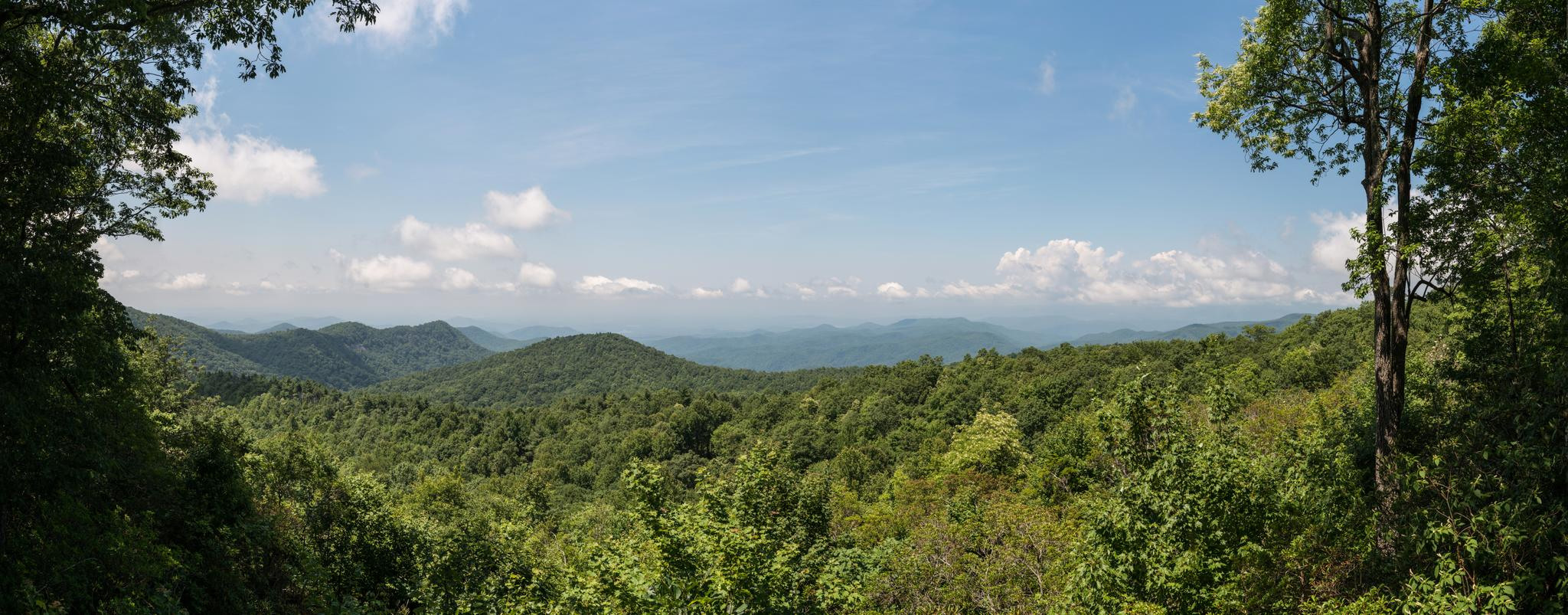
The viewing platform at the top of Sassafras Mountain is the perfect reward for all that climbing. On the border of North and South Carolina, the views are breathtaking.
0
0

Standing on the summit of Sassafras Mountain puts you on the highest point in the state of South Carolina. At 3,554 feet, the peak offers multiple observation areas and platforms that point in different directions off the top of the mountain. Being part of the Blue Ridge Mountain Range, the peak is highly popular, allowing both car and foot access from the bottom to the summit area (there is a steep incline from the parking lot to the observation deck).
0
0

The trail to the top of the falls is about 1 mile. Look for the other trailhead to the lower and better trail.
0
0

The first part of the hiking trails in Table Rock State Park features a number of beautiful waterfalls - the Green Creek gently uses the various rock formations to bring its water down to Pinnacle Lake.
4
0
피켄스 카운티에서 가장 인기 있는 명소


찾고 계신 것을 찾지 못하셨나요?
피켄스 카운티에서 더 많은 하이킹를 확인하고 목적지에서 완벽한 경로를 찾아보세요.
더 살펴보기
다른 지역의 최고의 하이킹를 살펴보세요.
