브룩뮐에서 가장 멋진 4개의 산 정상
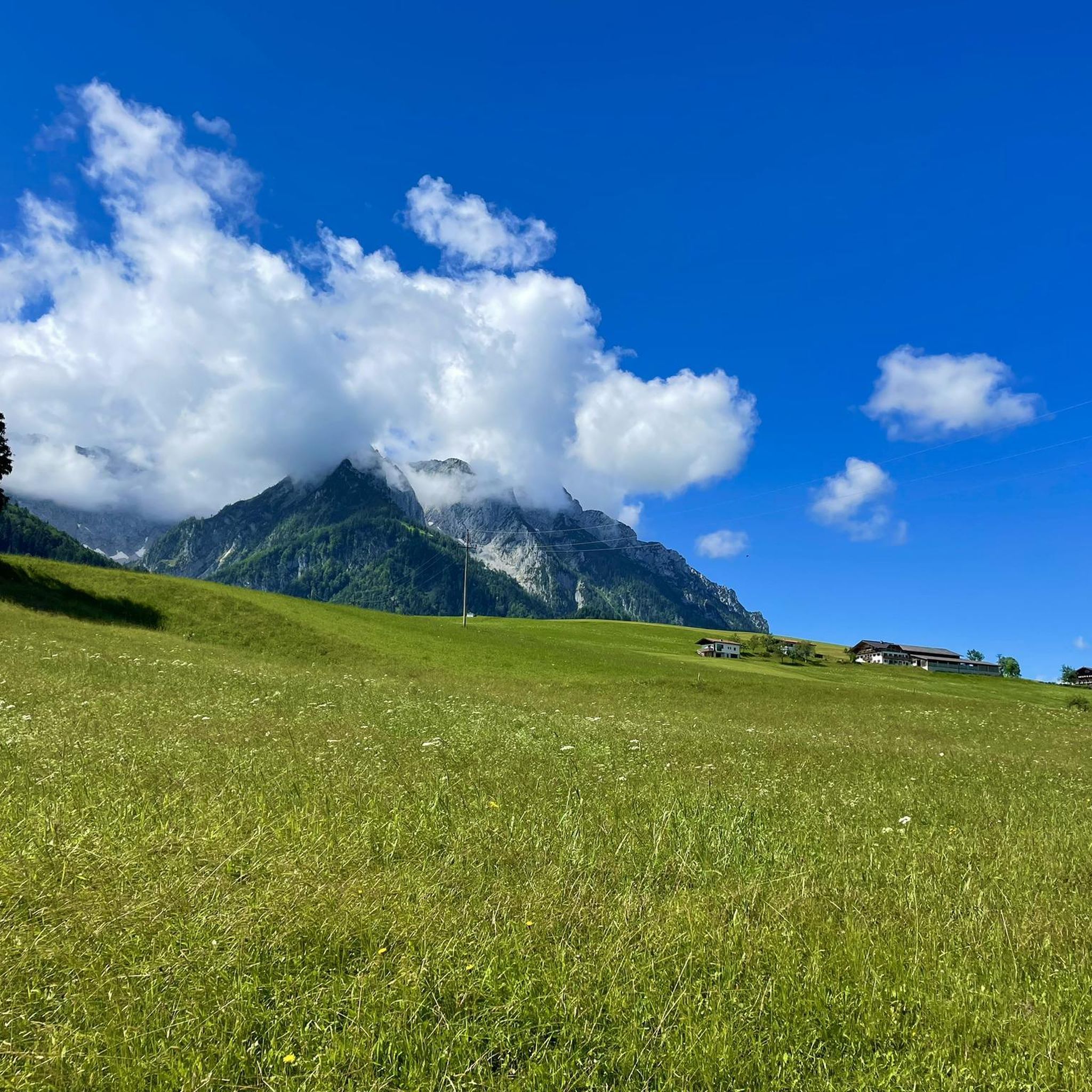
브룩뮐의 산 정상에 오르면 이 지역의 아름다운 모습을 제대로 구경할 수 있어요. 다만, 4
곳이나 되는 산 정상 중에서 어떤 곳을 가야 할 지 고민된다는 게 문제죠. 브룩뮐에서 가장 멋진 산 정상을 살펴본 후에 마음에 드는 산 정상을 다음 모험 계획에 추가해보세요.
마지막 업데이트: 10월 11, 2026
이르셴베르크에서 본 전망
하이라이트 • 전망대
번역자 Google •
팁에 의해

Deisenried 등산 주차장
하이라이트 • 주차장
번역자 Google •
팁에 의해

이런 장소를 발견하려면 지금 가입하세요
최고의 싱글 트랙, 봉우리 및 다양한 흥미로운 야외 장소에 대한 추천을 받아보세요.
48번째 평행선과 12번째 자오선 표지
하이라이트 • 기념물
번역자 Google •
팁에 의해

벤델슈타인 전망 자전거길
하이라이트 • 자전거 도로
번역자 Google •
팁에 의해


오늘 무료 계정으로 시작하세요
다음 모험이 기다리고 있어요.

브룩뮐 주변의 다른 모험

커뮤니티 팁

오르막길에서 잠시 쉬어갈 수도 있는 방법입니다. 하지만 사실상 거의 다 왔고, 그럴 가치는 거의 없습니다.
0
0

Great starting point for the Tregler Alm
1
0


The geographical coordinates are spherical coordinates that can be used to describe the position of a point on the earth's surface. The geographical latitude is measured from the equator to the north (0° to 90° north at the North Pole) and south (0° to 90° south at the South Pole), the geographical longitude from the prime meridian from 0° to 180° to the east and from 0° to 180° to the west. Parallels of latitude (lines of constant latitude) run parallel to the equator, longitudes (lines of constant longitude) through the North and South Pole. Source and further information https://de.m.wikipedia.org/wiki/Geographische_Koordinaten
1
0


The “The Degree Confluence Project” is an English-language website on which you can upload photos from very specific points on earth, the intersections of longitude and latitude. The aim is to document all intersections on earth with photos and upload them to the project website. Points that have already been visited can also be visited again and photographed to show possible changes. By the way, the site has been around for over 20 years, it was started in 1996 by Alex Jarrett from the USA. A point of confluence is the place where a line of longitude and a line of latitude intersect. There are about 64,000 such intersections on Earth. Of course, most of these points are in the sea, since the earth has more sea area than land area. All points in the sea are called “secondary points of confluence”. And because the intersections of longitude and latitude are naturally quite clustered near the poles, some intersections on land are also considered only secondary points. From the 49th parallel it hits every third point. Further points from the evaluation of the primary confluence points fall even closer to the poles. But there are still about 12,000 points left, all of which want to be visited and photographed. In Germany there are 32 primary and 15 secondary confluence points. One of these points is in the district of Ebersberg, something "Out of Aßling". Here the 48 degrees north latitude and the 12 degrees east longitude meet. We visited this point and took a photo. And since only from the 49th degree of latitude points are no longer counted as primary, the point at Aßling is a real primary point of confluence. Which is also beautifully situated.
3
0
브룩뮐 주변에서 가장 인기 있는 명소


더 살펴보기
이 가이드를 통해 브룩뮐 주변의 더 놀라운 정상들을 확인해보세요:
