4.6
(1353)
12,399
등산객
884
하이킹
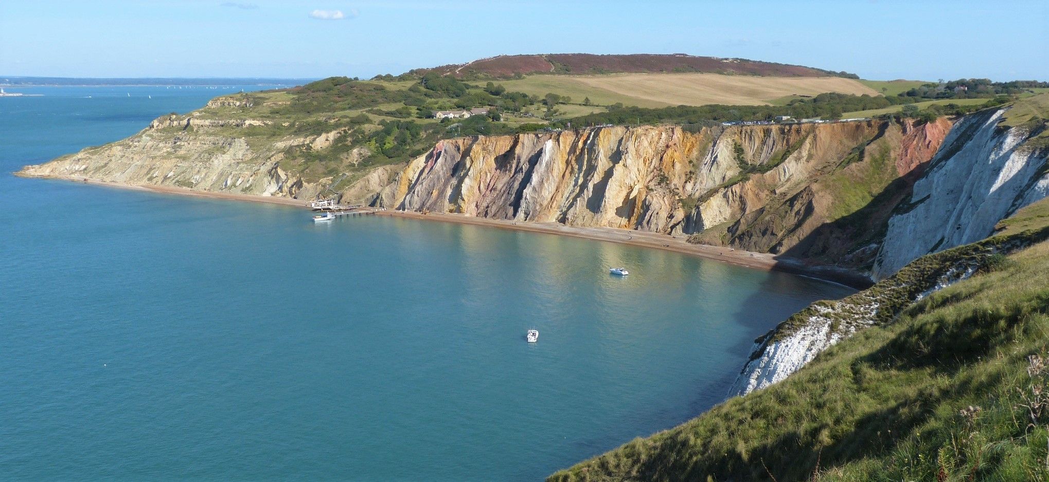
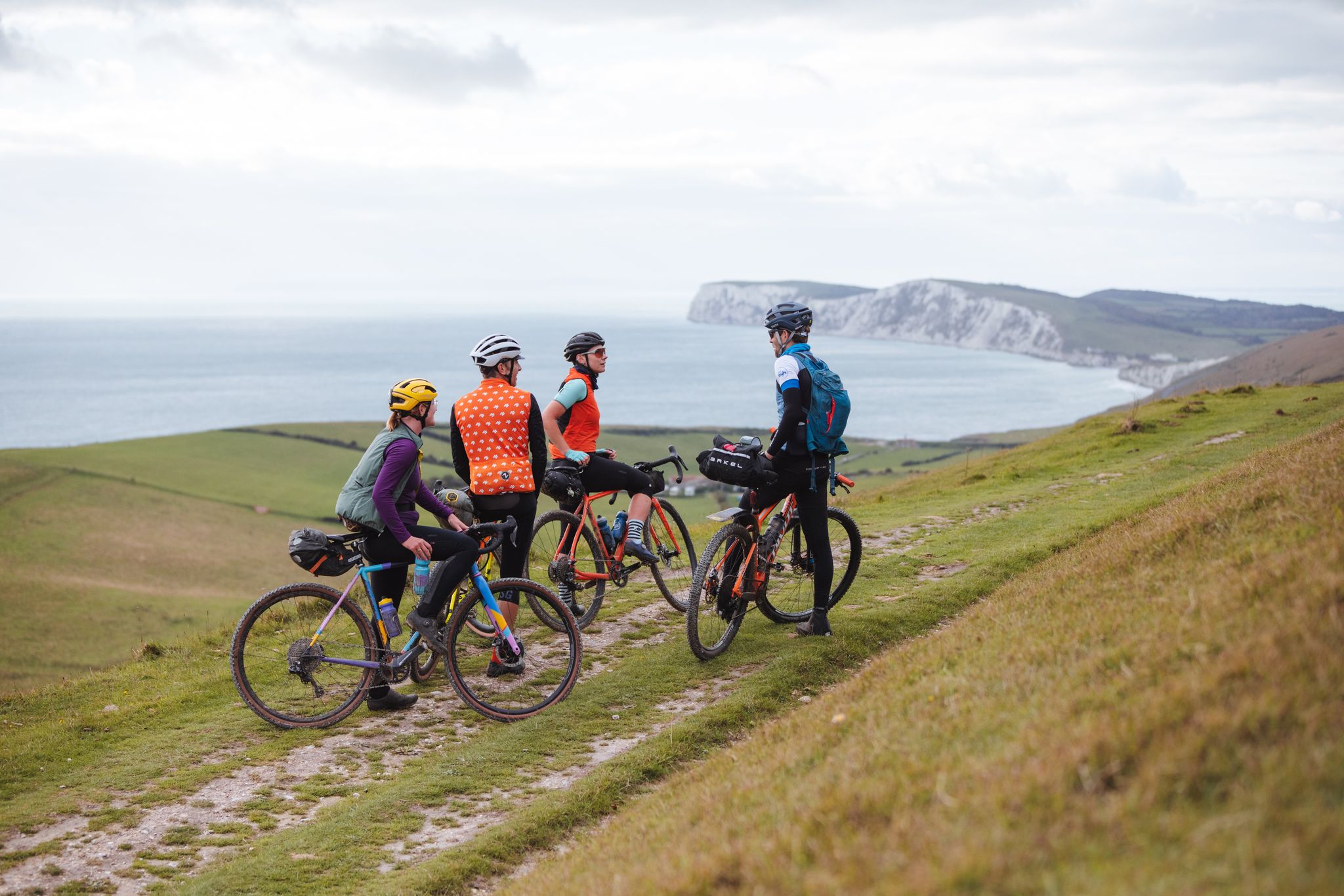
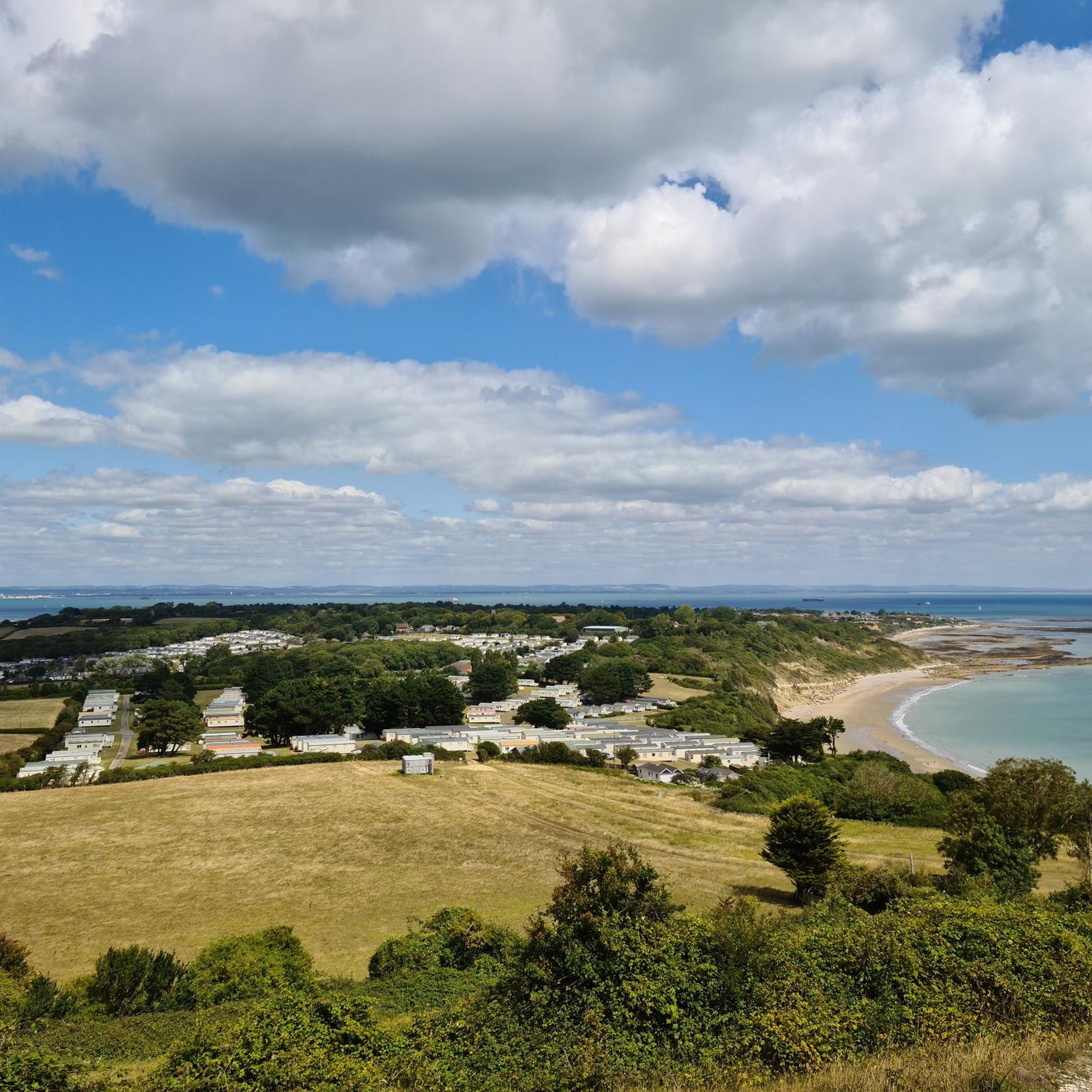
와이트 섬에서 하이킹하며 잉글랜드 남동부 구석 부분까지 살펴볼까요? 와이트 섬에 있는 모든 하이킹 및 워킹 경로 컬렉션 중 가장 멋진 하이킹 경로를 엄선하여 소개해드릴게요. 다른 하이커가 공유한 실제 팁과 사진을 살펴보고 후기를 읽으며 마음에 드는 와이트 섬 워킹 경로를 찾아보세요.
마지막 업데이트: 7월 20, 2026
4.7
(55)
351
등산객
13.6km
03:46
230m
230m
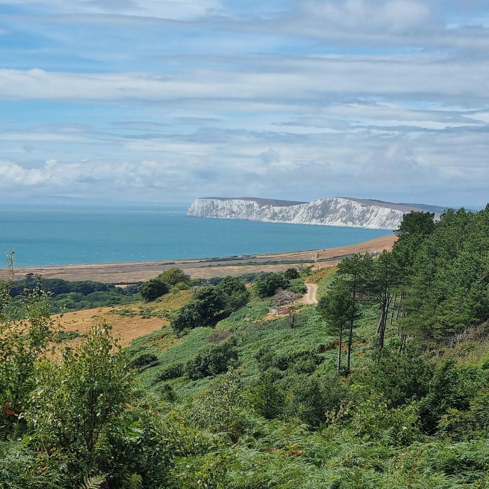
The Tennyson Down Trail offers a moderate hiking experience across the Isle of Wight's dramatic landscape. You will cover 8.5 miles (13.6 km) with an elevation gain of 770 feet (235 metres), taking approximately 3 hours and 46 minutes to complete. As you hike, you will encounter the iconic Needles, which are striking white chalk cliffs, and enjoy expansive views stretching across the Solent and the English Channel.
Before you set out, be aware that the chalk paths can become very slippery, especially after rain. The headland is also quite exposed, so you might experience strong winds; checking the weather forecast beforehand is a good idea. The route includes some steep ascents and descents, particularly as you approach the Tennyson Monument. Parking is generally available at the trailhead, but it is always wise to plan for varying conditions.
This trail is notable for its blend of natural beauty and historical significance, particularly through its connection to the poet Alfred, Lord Tennyson. You will pass the Tennyson Monument, a tribute to his legacy, which adds a unique cultural layer to your outdoor adventure. The route provides some of the best walks in the Tennyson Down area, showcasing the region's distinctive geology and coastal vistas.
4.8
(13)
154
등산객
7.34km
01:56
70m
70m
Embark on an easy hike along a scenic section of the Isle of Wight Coastal Path, where you can enjoy expansive sandy beaches and charming seaside views. This route covers 4.6 miles (7.3 km) with a gentle elevation gain of 219 feet (67 metres), making it a pleasant journey for most. You will experience the island's unique coastal atmosphere, passing by the iconic Sandown Beach, perfect for a relaxing stroll, and catching glimpses of the historic Shanklin Cliff Lift.
Planning your visit to this coastal trail is straightforward, as it is well-waymarked and can be started from any point. You will find that public transport, including bus routes, serves the area conveniently, allowing for easy access. Parking is generally available in the nearby towns of Shanklin and Sandown, providing flexible options for your starting location.
This particular stretch of the Isle of Wight Coastal Path offers a delightful blend of natural beauty and local charm. As you hike, keep an eye out for the picturesque Fisherman's Cottage and Shanklin Chine Beach, which showcase classic island character. The entire experience is designed to take around 1 hour and 56 minutes, offering a refreshing escape into the island's diverse coastal landscape.

무료 회원 가입
4.8
(13)
118
등산객
6.09km
01:41
100m
110m
Embark on the Tennyson Down Trail, a moderate hiking route that promises invigorating downland views and magnificent vistas. You will traverse cliff-top paths, offering expansive panoramic views across the Solent and Poole Bay, with the iconic Needles, three distinctive chalk stacks, rising dramatically from the sea. This 3.8-mile (6.1 km) hike involves a 329-foot (100 metres) elevation gain, and you can expect to complete it in about 1 hour and 40 minutes. The route showcases rolling downs and craggy white cliffs, providing a truly memorable experience. Be ready for an exposed headland where winds can be strong, adding to the trail's dynamic atmosphere.
When planning your visit, be aware that the path leading from the car park to the Tennyson Monument is notably steep. Chalk paths can become very slippery, especially in adverse weather conditions, so wearing appropriate footwear is essential for your safety and comfort. You should also prepare for potentially strong winds on the exposed headland, which can make the hike more challenging. Consider checking the weather forecast before you go to ensure you have the best possible experience on the trail.
This trail is situated within The Needles Headland and Tennyson Down, an area rich in natural beauty and historical significance. From the Tennyson Monument, you can enjoy expansive panoramic views that stretch across the Solent and Poole Bay, offering a unique perspective of the coastline. The route also provides stunning views across Alum Bay and the English Channel, highlighting the area's distinctive geology with its rolling downs and dramatic white cliffs. It is a rewarding experience for hikers seeking a manageable challenge with spectacular scenery.
4.1
(9)
113
등산객
10.6km
02:43
50m
50m
Embark on a moderate hike along the picturesque Isle of Wight coastline, offering stunning sea views across the Solent to the mainland. This 6.6-mile (10.6 km) route, with a minimal elevation gain of 157 feet (48 metres), takes about 2 hours and 42 minutes to complete. You will pass the iconic Victorian Appley Tower, stroll through Appley Park, and walk along sandy beaches, enjoying the diverse scenery.
The trail features largely flat and accessible paths, making it suitable for most abilities, including families. However, if you hike during wetter months, sturdy, waterproof footwear is recommended, especially near the marshland in the Alan Hersey Nature Reserve. Dogs are not permitted within the nature reserve itself to protect the sensitive wildlife. You will find ample opportunities for refreshments at eateries with Solent views along the way, and Puckpool Park offers activities like putting and tennis.
A significant highlight is the Alan Hersey Nature Reserve, a distinctive coastal wetland and brackish lake. This 20-acre site is ecologically important, forming part of a Site of Special Scientific Interest and a Ramsar site. It offers exceptional wildlife spotting opportunities, particularly for birdlife, including wintering wildfowl like Brent geese and curlew, as well as resident kingfishers and mute swans. The unique environment provides a tranquil natural experience.
4.7
(19)
75
등산객
8.70km
02:27
180m
180m
Embark on the Bembridge and Culver Downs Trail for a moderate hike across the eastern Isle of Wight, offering a diverse experience. This route takes you from dramatic clifftops overlooking Whitecliff Bay to tranquil marshlands and peaceful woodlands. You will gain 586 feet (179 metres) over its 5.4 miles (8.7 km) distance, enjoying sweeping vistas over Sandown Bay from Culver Down, where the prominent Yarborough Monument stands. Expect a journey that blends stunning coastal scenery with inland serenity, typically completed in about 2 hours and 27 minutes.
Before you head out, remember that the trail features a mix of terrains, including grassy paths, stony sections, and some road. While generally moderate, certain parts can become tricky in bad weather, so it is wise to check the forecast beforehand. Always keep a safe distance from cliff edges, as they can be slippery when wet. Planning your visit during dry conditions will ensure a more enjoyable and secure hiking experience.
This trail is notable for its rich natural environment, allowing you to observe diverse wildlife in the RSPB-protected Brading Marshes, including various bird species. Keep an eye out for red squirrels as you pass through Steyne Wood. The route also offers a sense of historical exploration, particularly around Culver Down, making it a unique blend of natural beauty and heritage on the Isle of Wight.
4.6
(17)
50
등산객
14.1km
04:07
370m
370m
Embark on the Shanklin and Ventnor Downs Circular, a moderate hike spanning 8.8 miles (14.1 km) with an elevation gain of 1201 feet (366 metres). This route offers a diverse landscape, from winding coastal paths to open grassy downs and tranquil woodland sections like Holme Copse. You will spend around 4 hours and 6 minutes traversing varied terrain, enjoying expansive views across Sandown Bay towards Culver Down and the vast English Channel.
When planning your visit, be aware that certain sections, particularly Shanklin Down and the Bonchurch Landslips, can become quite muddy and uneven, especially after rain. The exposed downland is also susceptible to misty and breezy conditions, so always check the weather forecast and dress in layers. While specific parking details are not provided, the trail is generally accessible, making it a popular choice for hikers.
This circular route takes you through the stunning Isle of Wight Area of Outstanding Natural Beauty, showcasing its unique ecological value. Keep an eye out for the historic Bunkers on Ventnor Downs, a distinctive feature that adds a touch of history to your journey. The vibrant wildflower downs are particularly beautiful in spring, offering a colorful display that enhances the natural charm of the area.
4.6
(8)
31
등산객
6.93km
02:08
240m
240m
Embark on a moderate 4.3-mile (6.9 km) hike around the Ventnor Downs and Bonchurch Landslip, offering panoramic sea views and expansive grasslands. This loop, which takes approximately 2 hours and 8 minutes to complete, features diverse terrain including hilly sections, chalk cliffs, and tranquil woodlands. You will navigate a mix of surfaced paths and grassy tracks, with the Ventnor Downs providing open downland scenery and glimpses of historic bunkers.
Planning your visit requires awareness of the varied terrain, which includes steep, uneven steps in places. While the overall elevation gain is 773 feet (236 metres), some sections are challenging, so sturdy walking boots are highly recommended. Be aware that the Devil's Chimney section, a notable natural rock cleft, is currently inaccessible due to a landslide and ongoing land movement, making it unsafe for public access.
This route incorporates a section of the Isle of Wight Coast Path, allowing you to experience the unique geological features of the Bonchurch Landslip, a nature reserve where harder Cretaceous strata lie over softer ones. The Ventnor Downs, including St Boniface Down, the Island's highest point, are managed by the National Trust as Access Land, preserving their natural beauty and historical elements.
4.2
(10)
40
등산객
7.24km
01:54
60m
60m
Embark on an easy 4.5-mile (7.2 km) hike around Bembridge, a route that typically takes about 1 hour and 54 minutes with a gentle 190 feet (58 metres) of elevation gain. You will experience diverse coastal and countryside views, passing through rolling hills and woodlands. The path mixes footpaths, paved sections, and unpaved natural surfaces, offering a varied walking experience. A significant highlight is seeing the historic Bembridge Windmill, a Grade I-listed structure, which stands prominently along the way.
This easy route is suitable for nearly any fitness level, featuring easily accessible paths. While generally well-defined, some sections can be unpaved or natural, and may become muddy during wet weather, so check conditions before you go. The historic Bembridge Windmill often serves as the starting point for this hike, and you can visit inside for a fee if you wish to explore its history. Consider starting your hike earlier in the day to enjoy the views without too many crowds.
The Bembridge Windmill is a truly notable feature, being the only surviving windmill on the Isle of Wight and retaining much of its original machinery from its construction in 1700. This trail offers a chance to experience a beautiful stretch of the Isle of Wight's coast and some of its historic monuments. The broader Bembridge area, which includes parts of this loop, is characterized by its varied landscapes, including rugged cliffs and tranquil wetlands within the Isle of Wight Area of Outstanding Natural Beauty.
4.7
(6)
35
등산객
7.24km
01:57
90m
90m
Embark on the Carisbrooke Castle loop from Carisbrooke, an easy hiking route that takes you through varied terrain on the Isle of Wight. You will traverse field paths, bridleways, and open chalk downland, offering a diverse experience. This 4.5-mile (7.2 km) journey includes a gentle climb of 287 feet (88 metres) and typically takes around 1 hour and 56 minutes to complete. As you hike, you will enjoy fine views over the surrounding countryside, especially from the ridge of Bowcombe Down, with magnificent vistas of Carisbrooke Castle.
Planning your visit to this popular route is straightforward, as it is generally accessible for most abilities. You can find parking conveniently located in or near Carisbrooke Village, which serves as an excellent starting point for your adventure. Be sure to check local signs for specific parking details and any potential restrictions before you begin. This trail offers a pleasant outing for anyone looking to explore the area without significant challenges.
The route not only provides scenic beauty but also offers a glimpse into history, with the impressive Carisbrooke Castle as a central feature. You can admire the castle from various points along the trail, or choose to explore its walls and grounds more closely. Additionally, the charming Carisbrooke Village, with its historic buildings, adds to the overall appeal and character of this delightful loop, making it a memorable experience on the Isle of Wight.
4.4
(7)
62
등산객
21.1km
05:29
140m
140m
Embark on a challenging hike along the Isle of Wight Coastal Path, a demanding route spanning 13.1 miles (21.1 km). You will experience a diverse coastal landscape, traversing varied terrain from quiet estuaries to expansive beaches, all while enjoying constant sea views. This difficult trail involves gaining 469 feet (143 metres) in elevation and typically takes around 5 hours and 29 minutes to complete. Keep an eye out for landmarks like Bembridge Harbour and the historic Appley Tower as you make your way.
When planning your visit, be aware that coastal erosion is an ongoing concern on the Isle of Wight. This can sometimes lead to diversions, occasionally rerouting you onto busier roads instead of the direct coastal path. The island's bus services are a convenient option if you wish to break up your hike into shorter sections or need to reach different parts of the route. Always check local conditions before you set out.
This section of the coastal path offers a unique opportunity to explore the island's dynamic shoreline. The route provides a continuous connection to the sea, allowing you to witness the interplay of land and water. It is a rewarding experience for those seeking a substantial day hike with ever-changing scenery and a true sense of coastal exploration.
더 다양한 경로와 다른 탐험가들의 추천을 살펴보세요.
무료 회원 가입
이미 komoot 계정이 있나요?
투어 추천은 다른 사람들이 komoot에서 완료한 수천 개의 활동을 바탕으로 구성되어 있습니다.
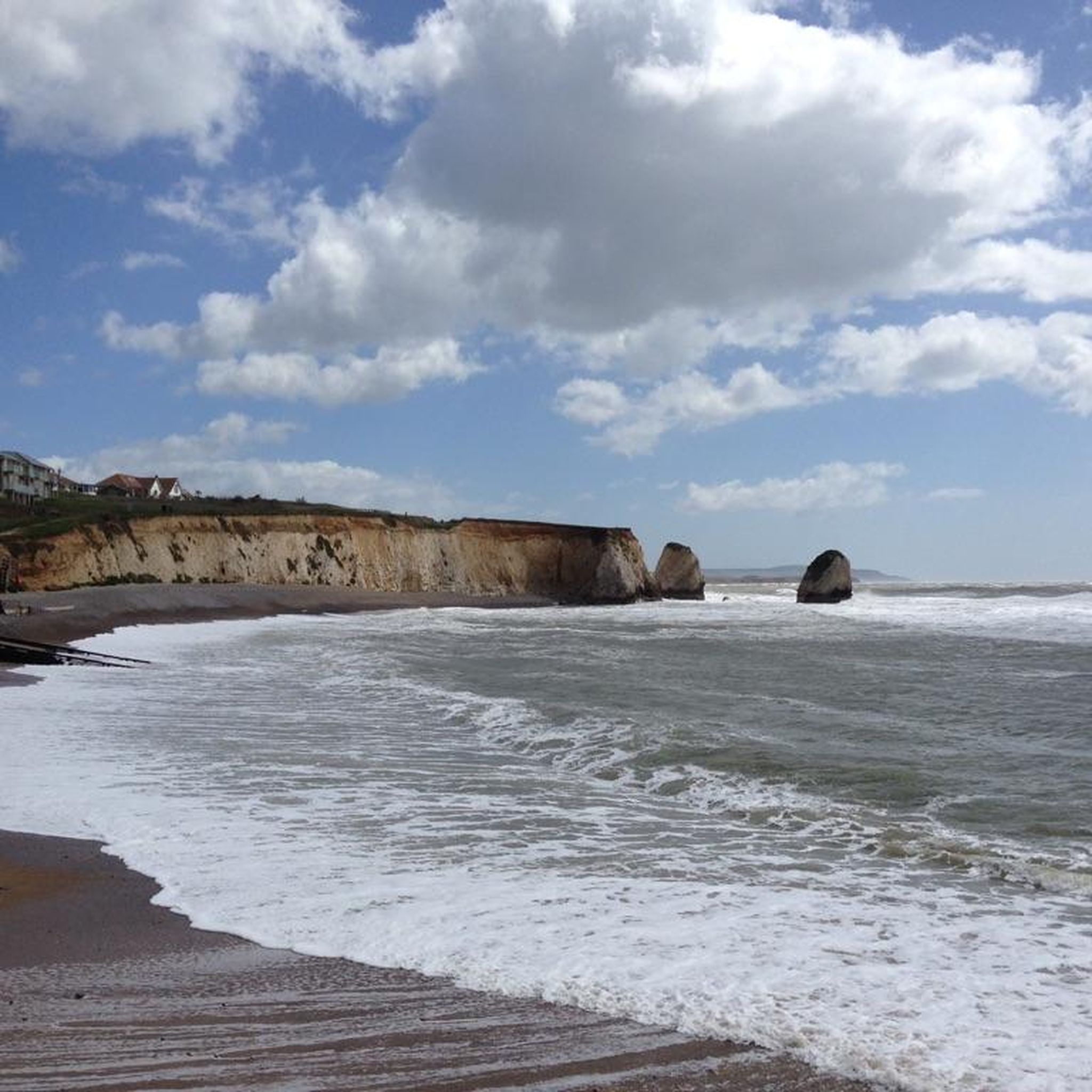
Steephill cove로 내려가는 길은 자전거를 가파르고 좁은 아스팔트 길을 따라 내려가야 합니다.
0
0
The climb is a bit steep, but the views are expansive, over land and sea. Don't be afraid, just respect the cows, goats, and dogs. Today they were all friendly and well-disposed.
0
0
The steep chalk cliffs and grasslands above Ventnor are made up of several downs, all offer amazing views out to sea and great walking country once you've completed the initial climb. Look out for the herd of goats introduced by the National Trust back in 1993, the striking and rare Adonis blue butterfly, buzzards and ground nesting birds like the skylark and meadow pipit.
0
0
Wonderful walk on the cliffs overlooking the sea, wonderful walk
1
0
These old windmills are the best proof that people were clever enough a number of centuries ago - long before the discovery of electricity and the inventions that resulted from it - to harness the power of the elements for their own purposes: no human or animal muscle power is required for the grinding process, but the wind captured by the wings is enough to drive the heavy millstones and thus, for example, to grind flour from grain (grain mills) or to press oil from olives (oil mills). Unfortunately, they are often only technical and historical evidence of a long tradition of craftsmanship, because most of the old mills have been abandoned over time.
2
0
Nowadays, only a few of them are still in operation in their original function, but are often just technical-historical monuments to a long tradition of craftsmanship: the heavy millstones inside were moved using the power of the wind as the driving force, for example to grind grain into flour (so-called grain mills) or to press oil from fruits (e.g. olives) (so-called oil mills). These old windmills are therefore the best proof that people were clever enough to harness the power of the wind a number of centuries ago - long before the discovery of electricity and the inventions that followed.
2
0
와이트 섬에서 더 많은 하이킹를 확인하고 목적지에서 완벽한 경로를 찾아보세요.
다른 지역의 최고의 하이킹를 살펴보세요.