일레빌렌 최고의 라이딩 경로
4.4
(517)
14,268
자전거 타는 사람
170
라이딩
일레빌렌에서 하이킹하며 브르타뉴 구석 부분까지 살펴볼까요? 일레빌렌에 있는 모든 하이킹 및 워킹 경로 컬렉션 중 가장 멋진 하이킹 경로를 엄선하여 소개해드릴게요. 다른 하이커가 공유한 실제 팁과 사진을 살펴보고 후기를 읽으며 마음에 드는 일레빌렌 워킹 경로를 찾아보세요.
마지막 업데이트: 10월 11, 2026
4.2
(11)
118
자전거 타는 사람
52.3km
02:22
460m
460m
보통 도로 자전거 타기. 좋은 체력 필요. 지면 대부분이 잘 포장되어 있고 라이딩하기 쉬움.
4.2
(18)
780
자전거 타는 사람
60.8km
02:47
500m
500m
보통 도로 자전거 타기. 좋은 체력 필요. 지면 대부분이 잘 포장되어 있고 라이딩하기 쉬움.

4.5
(11)
352
자전거 타는 사람
47.4km
02:05
410m
410m
보통 도로 자전거 타기. 좋은 체력 필요. 투어 중 라이딩하기 어려운 비포장 구간이 있을 수 있음.
4.3
(9)
279
자전거 타는 사람
84.6km
03:46
730m
730m
보통 도로 자전거 타기. 좋은 체력 필요. 투어 중 라이딩하기 어려운 비포장 구간이 있을 수 있음.
4.3
(12)
281
자전거 타는 사람
27.4km
01:17
230m
230m
초급용 로드 라이딩. 모든 체력 수준에 적합. 지면 대부분이 잘 포장되어 있고 라이딩하기 쉬움.
4.3
(3)
78
자전거 타는 사람
61.0km
03:04
560m
560m
보통 도로 자전거 타기. 좋은 체력 필요. 투어 중 라이딩하기 어려운 비포장 구간이 있을 수 있음.
5.0
(2)
83
자전거 타는 사람
37.7km
01:49
310m
310m
보통 도로 자전거 타기. 좋은 체력 필요. 투어 중 라이딩하기 어려운 비포장 구간이 있을 수 있음.
3.7
(3)
63
자전거 타는 사람
65.3km
02:56
440m
440m
보통 도로 자전거 타기. 좋은 체력 필요. 투어 중 라이딩하기 어려운 비포장 구간이 있을 수 있음.
3.8
(4)
57
자전거 타는 사람
30.7km
01:20
240m
240m
초급용 로드 라이딩. 모든 체력 수준에 적합. 지면 대부분이 잘 포장되어 있고 라이딩하기 쉬움.
53
자전거 타는 사람
55.4km
02:24
440m
440m
보통 도로 자전거 타기. 좋은 체력 필요. 지면 대부분이 잘 포장되어 있고 라이딩하기 쉬움.
더 다양한 경로와 다른 탐험가들의 추천을 살펴보세요.
이미 komoot 계정이 있나요?
투어 추천은 다른 사람들이 komoot에서 완료한 수천 개의 활동을 바탕으로 구성되어 있습니다.
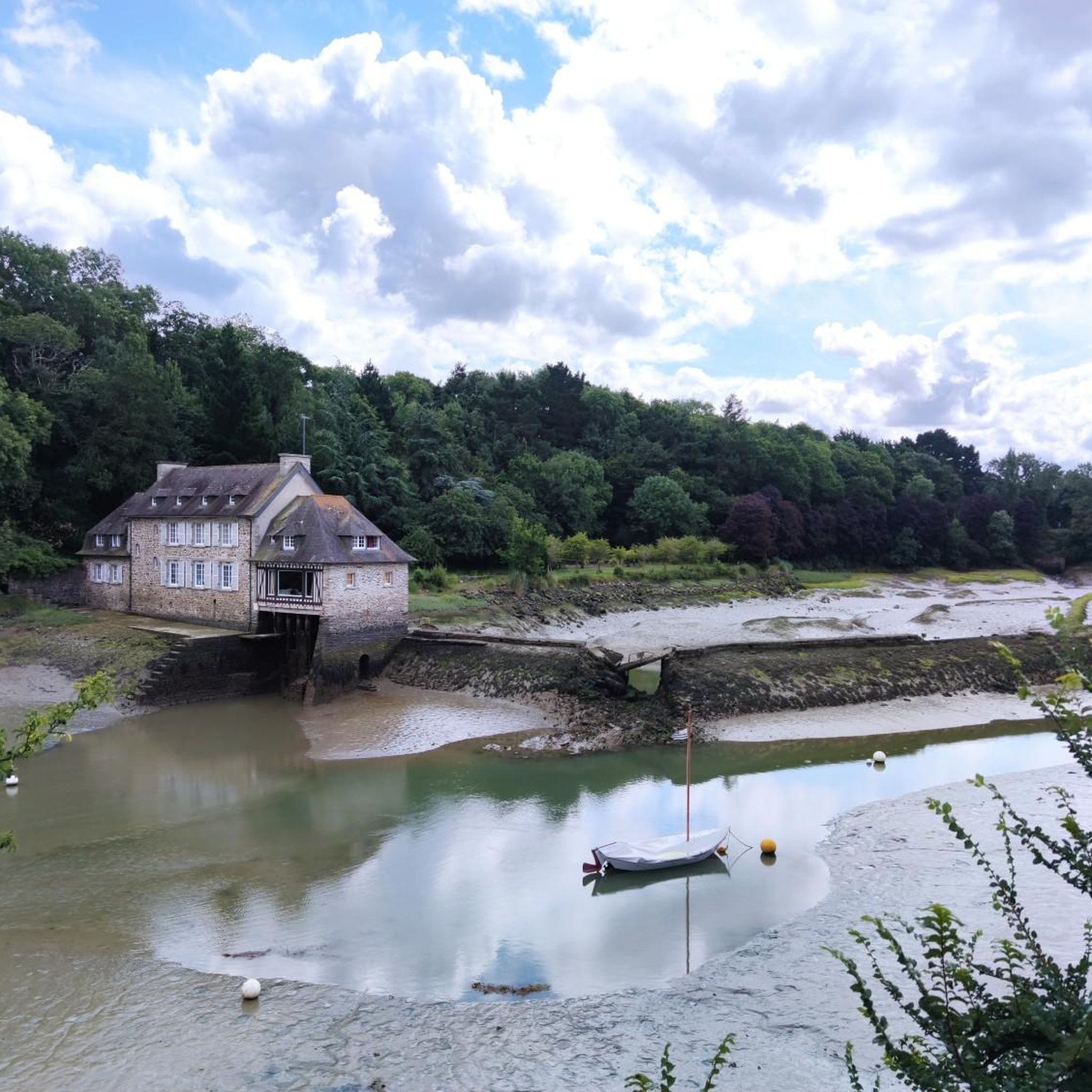
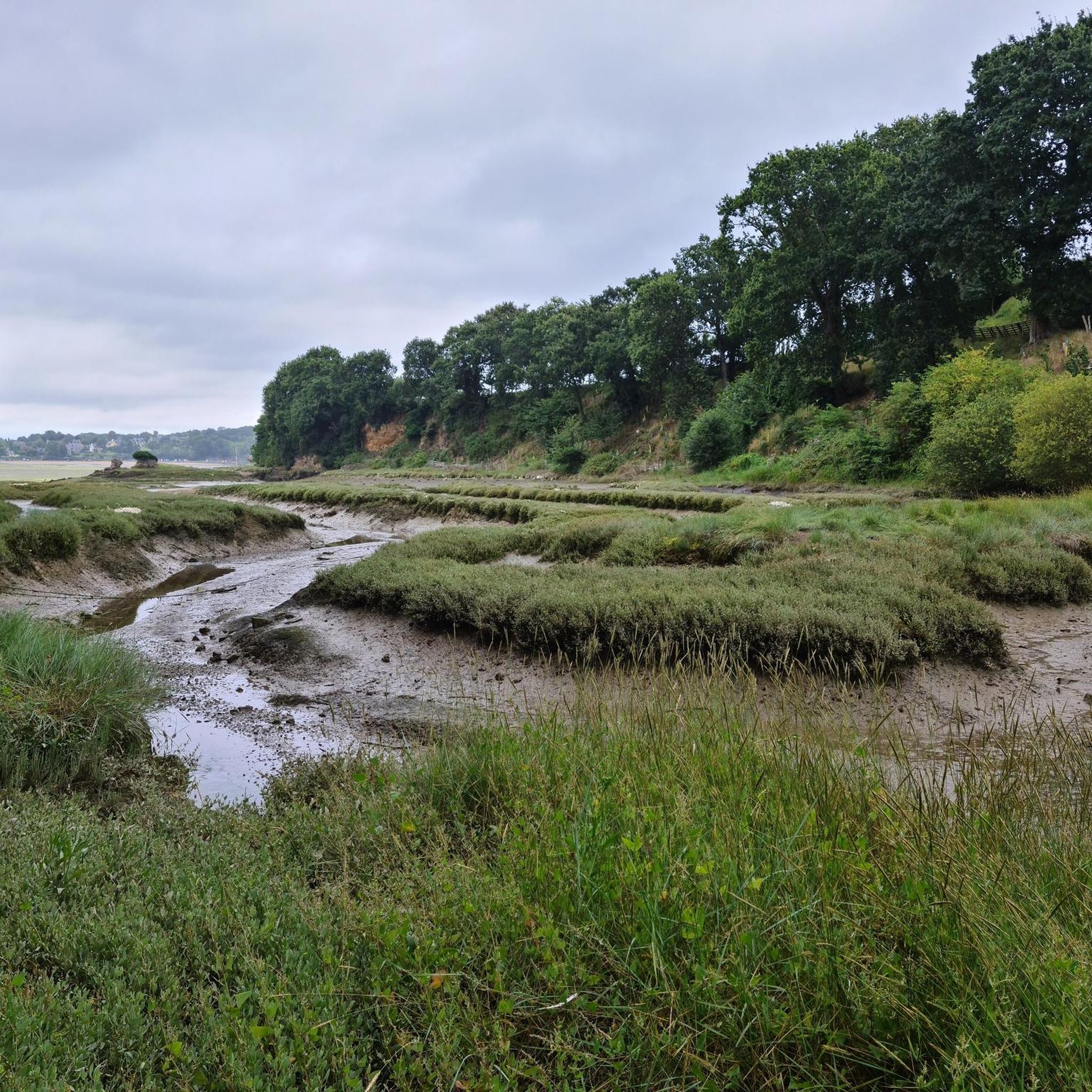
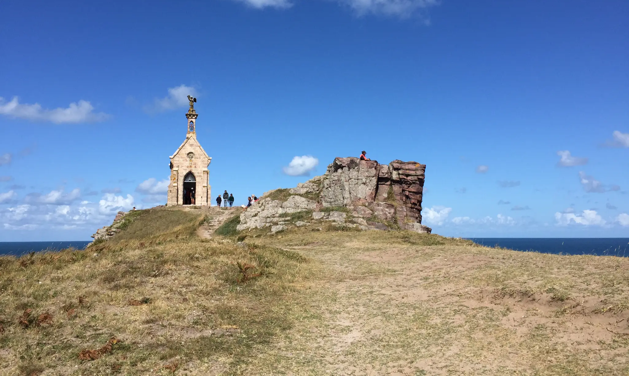
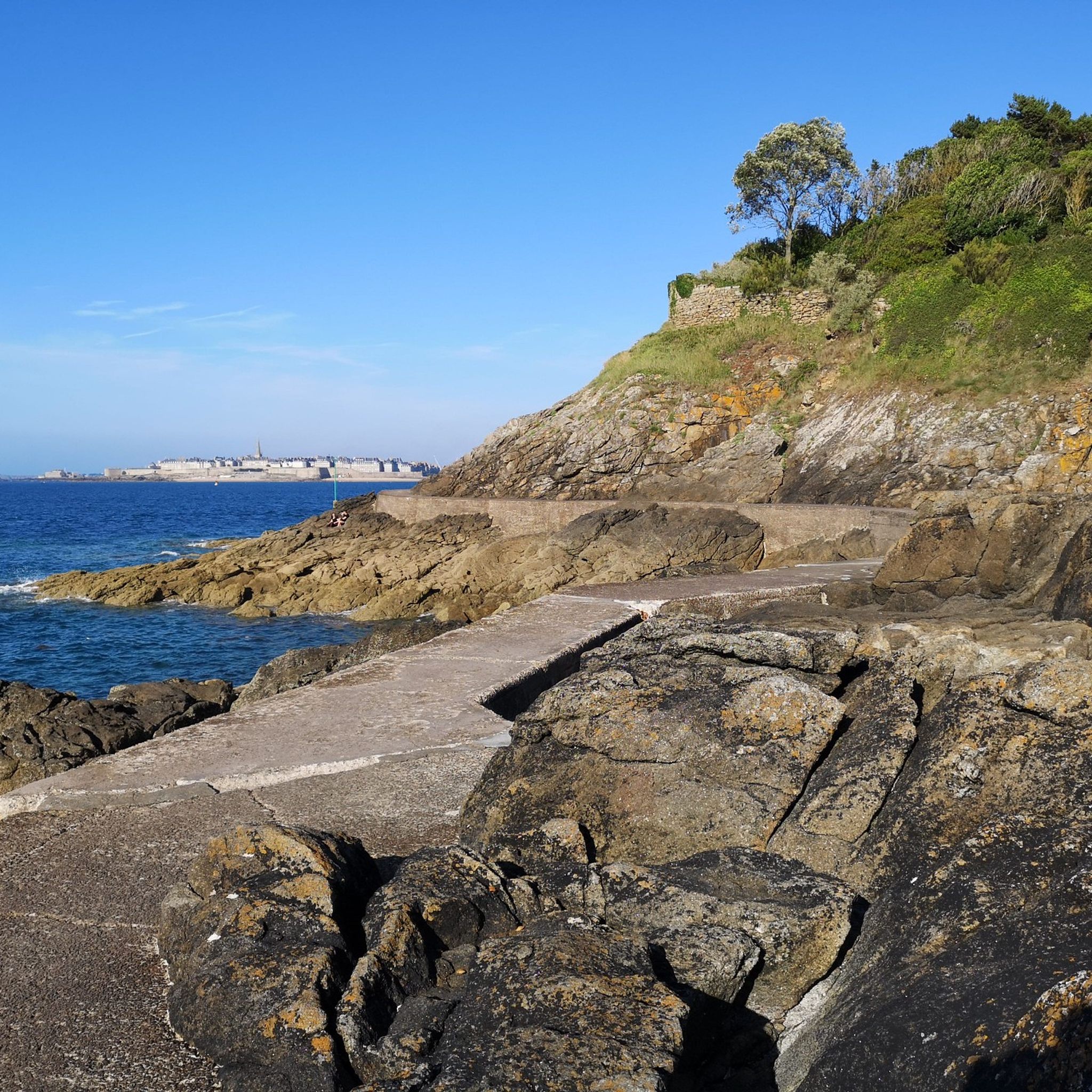

커뮤니티 팁

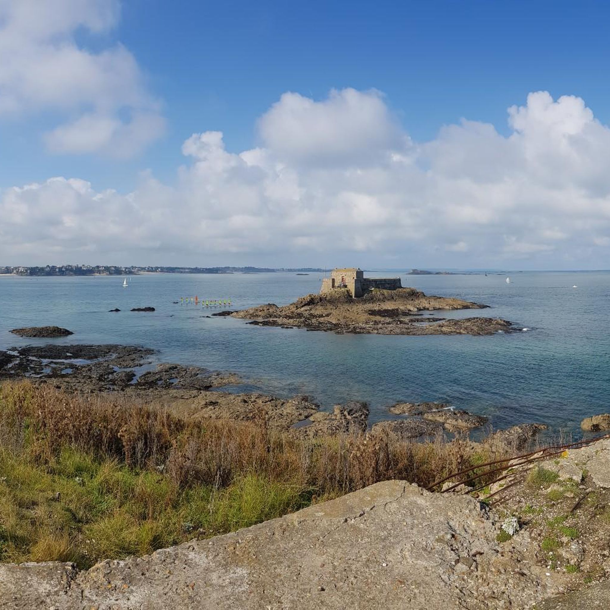
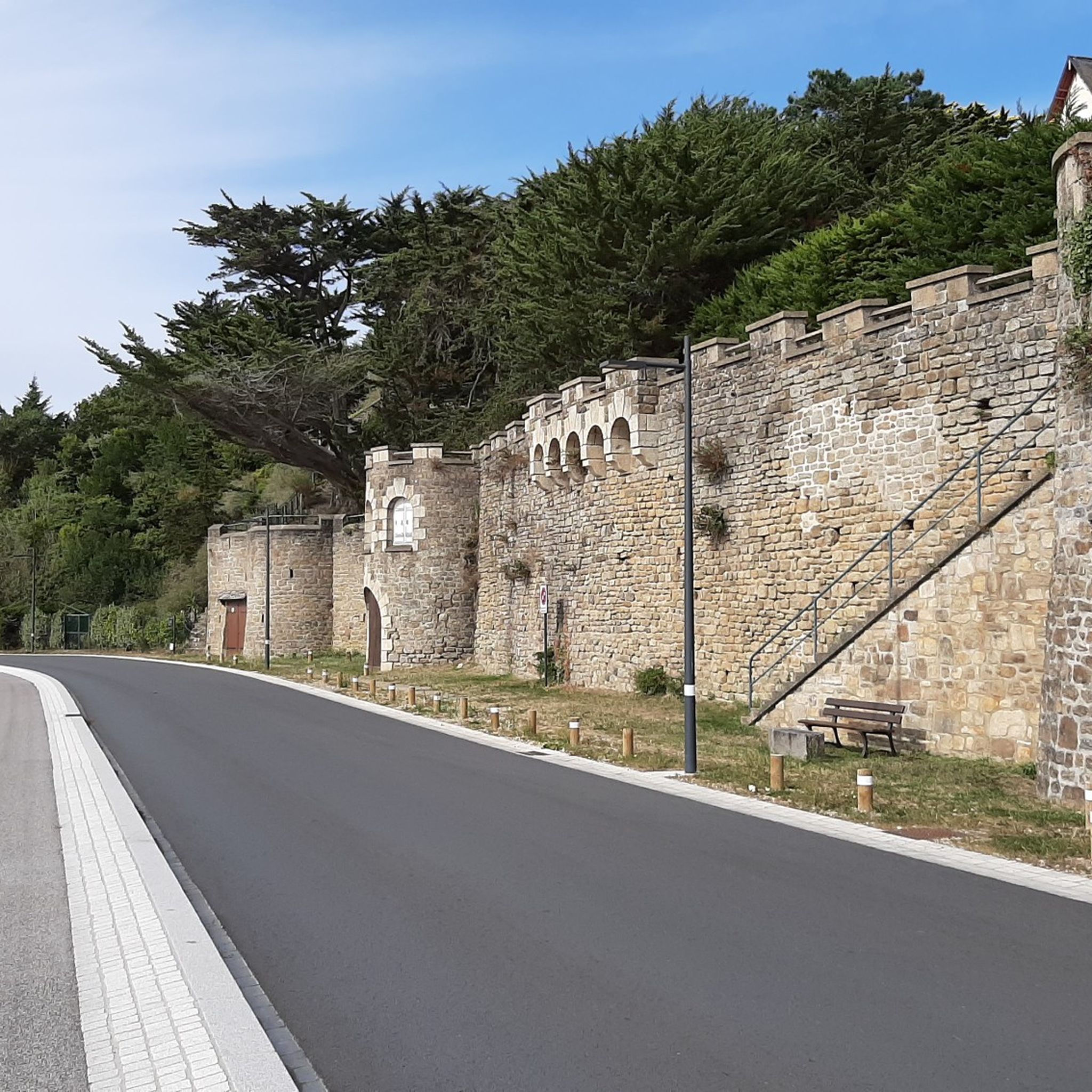
생말로의 구시가지인 앙트라무로의 좁은 골목길에는 비스트로, 크레페 가게, 국제 레스토랑, 부티크, 기념품 가게가 늘어서 있습니다. 생뱅상 대성당에는 예술적인 스테인드글라스 창문이 있습니다. 반면, 걸을 수 있는 성벽은 바다 전망과 플라주 뒤 몰 및 플라주 드 본 세쿠르 해변으로의 접근을 제공합니다. 썰물 때 방문객들은 바다의 바위 위에 1689년에 지어진 포르 나시오날과 그랑 베 및 프티 베 섬까지 걸어갈 수 있습니다.
1
0


The bridge is closed to car traffic until 2028, but passage is still possible on foot or by bicycle.
2
0

등대(32.85m)는 에메랄드 해안의 최대 70미터 높이 절벽 위에 인상적으로 솟아 있으며 브르타뉴에서 가장 유명한 랜드마크 중 하나입니다. 현재의 등대는 1946년부터 1950년까지 건설되었으며 오늘날까지도 항해의 중요한 지표로서의 역할을 수행하고 있습니다. 전망대에서는 광활한 바다, 가파른 절벽, 그리고 앞바다의 섬들에 대한 인상적인 전망을 감상할 수 있습니다. 등대까지의 등반은 오후 2시부터 가능합니다. 성인 입장료는 1인당 3유로입니다.
28
0
The Esplanade Saint-Vincent is the central square at the main entrance to the Old Town. It is located directly in front of the historic Porte Saint-Vincent and connects the city walls to the Plage du Sillon beach. The square serves as an important meeting point for visitors and locals and is the starting point for many city tours. It houses the Tourist Information Office, a large parking garage (Q-Park Saint-Vincent), public restrooms, charging stations for electric cars, bus stops, and a taxi stand. The esplanade is barrier-free and therefore easily accessible for people with limited mobility. It is also frequently used for markets, concerts, and cultural events.
20
0

At 3 km long, this is the largest sandy beach in Saint-Malo. Walking along this beach, you can reach Intra-Muros in Paramé. Sillon Beach includes Grande Plage, Hoguette Beach, and Rochebonne Beach. La Digue was built from 1883 to 1913 on an old sandbar (the Sillon) that once connected Paramé to the walled city and provided the only dry-land access at low tide. Originally, a strip of sand was covered with dunes that grew higher and higher as one moved toward Rochebonne, with only a succession of windmills remaining. The first causeway was built in 1509, rebuilt and widened several times... Le Digue, 1,671 meters long, runs along Grande Plage and offers a pleasant stroll, lined with numerous villas built towards the end of the 19th century. Along the Sillon, a line of breakwaters protects the seawall from the force of the waves. Built in the early 19th century based on an idea by the civil engineer Robinault de St-Servan, the oak breakwaters have a depth at least equal to, or even greater than, their visible height.
2
0
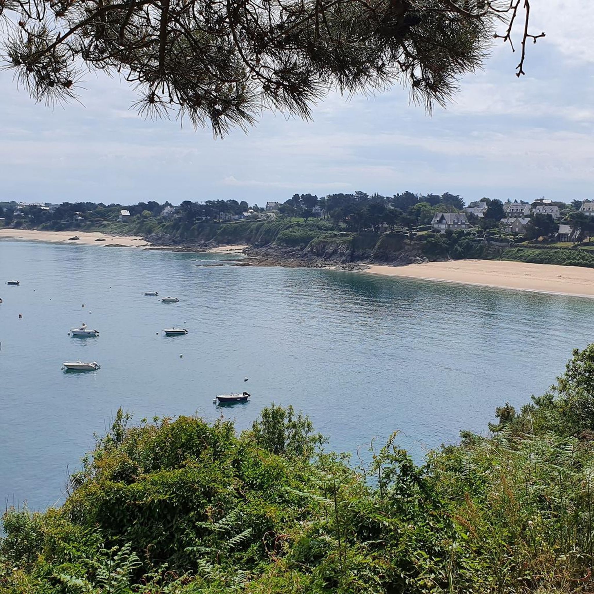
Plage du Saussaye, located in Cancale, Ille-et-Vilaine, Brittany, is a quiet and secluded beach often praised for its natural beauty and tranquility. This sandy cove is nestled between cliffs near the Moulière Point and is considered one of the most picturesque coves in Ille-et-Vilaine. The beach's location northwest of Cancale's town center, along the GR 34 hiking trail, makes it a peaceful retreat away from the bustling crowds of the town. The beach's natural features are one of its main attractions. It boasts a pristine stretch of sand and minimal plastic debris, indicating a well-preserved environment. The coastline is rocky, and at low tide, tide pools can be seen, further enhancing the beach's charm. The surrounding greenery enhances the beach's aesthetic appeal. A unique feature of Plage du Saussaye is the presence of small ocean pools that serve as mini-ecosystems among the rocks along the sides of the beach. These pools add to the beach's appeal, but visitors should exercise caution when exploring during tides. The beach is also known for wildlife viewing, with bottlenose dolphins frequently spotted, which enhances the overall visitor experience. Access to the beach is via a steep path from the parking lot.
1
0
일레빌렌에서 가장 인기 있는 명소


찾고 계신 것을 찾지 못하셨나요?
일레빌렌에서 더 많은 로드 사이클링 경로를 확인하고 목적지에서 완벽한 경로를 찾아보세요.
더 살펴보기
다른 지역의 최고의 로드 사이클링 경로를 살펴보세요.
