호랏 최고의 워킹 & 하이킹 경로
4.5
(16800)
56,015
등산객
16
하이킹
Komoot에 등록된 호랏 내 트레일 및 경로 컬렉션 중에서 하이킹과 워킹을 가장 멋지게 즐길 수 있는 곳을 알려드릴게요. 아래에서 각 경로의 상세 정보를 모두 확인한 후, 호랏 속 자연에서 즐거운 시간을 누려보세요.
마지막 업데이트: 10월 16, 2026
4.2
(13)
26
등산객
15.9km
04:35
410m
400m
보통 하이킹. 좋은 체력 필요. 실력과 관계없이 누구나 쉽게 갈 수 있는 길.
4.0
(1)
6
등산객
4.67km
01:18
80m
80m
초급용 하이킹. 모든 체력 수준에 적합. 실력과 관계없이 누구나 쉽게 갈 수 있는 길.

3.0
(1)
11
등산객
4.22km
01:09
60m
60m
초급용 하이킹. 모든 체력 수준에 적합. 실력과 관계없이 누구나 쉽게 갈 수 있는 길.
4.0
(1)
7
등산객
5.35km
01:31
120m
120m
초급용 하이킹. 모든 체력 수준에 적합. 실력과 관계없이 누구나 쉽게 갈 수 있는 길.
2.0
(1)
7
등산객
9.76km
02:50
250m
250m
보통 하이킹. 좋은 체력 필요. 실력과 관계없이 누구나 쉽게 갈 수 있는 길.
더 다양한 경로와 다른 탐험가들의 추천을 살펴보세요.
이미 komoot 계정이 있나요?
투어 추천은 다른 사람들이 komoot에서 완료한 수천 개의 활동을 바탕으로 구성되어 있습니다.
오늘 무료 계정으로 시작하세요
다음 모험이 기다리고 있어요.
커뮤니티 팁

📍 Above Thalveldenz Veldenz Castle was once the largest castle on the Middle Moselle and the ancestral seat of the Counts of Veldenz. Today, the imposing ruins bear witness to its former importance. The complex is situated on a steep rocky plateau and offers a sweeping view over the valley. A place steeped in history and inviting to linger. 💡 Tip: A detour to the castle is worthwhile – the ruins are partially accessible, and the view of the Moselle Valley is particularly impressive when the sky clears.
0
1

In 2015, the Horath Citizens' Association came up with the idea of collecting information about the wayside crosses around the Horath district. This information will then be printed on plaques and placed near the crosses for public viewing. This resulted in the identification of a total of 10 crosses, each of which was erected for a variety of reasons. To make these crosses accessible on foot, a wayside cross hiking trail was established, which connects the individual crosses over a distance of approximately 11 km. This themed trail stretches around Horath from the valley near the sewage treatment plant (approx. 290 m above sea level) up to "Hinter der Huf" (approx. 500 m above sea level). Distance: approx. 11 km, walking time: 3.5 - 4 hours Start: Horath village square
1
0
In 2015, the Horath Citizens' Association came up with the idea of collecting information about the wayside crosses around the Horath district. This information will then be printed on plaques and placed near the crosses for public viewing. This resulted in the identification of a total of 10 crosses, each of which was erected for a variety of reasons. To make these crosses accessible on foot, a wayside cross hiking trail was established, which connects the individual crosses over a distance of approximately 11 km. This themed trail stretches around Horath from the valley near the sewage treatment plant (approx. 290 m above sea level) up to "Hinter der Huf" (approx. 500 m above sea level). Distance: approx. 11 km, walking time: 3.5 - 4 hours Start: Horath village square
1
0
In 2015, the Horath Citizens' Association came up with the idea of collecting information about the wayside crosses around the Horath district. This information will then be printed on plaques and placed near the crosses for public viewing. This resulted in the identification of a total of 10 crosses, each of which was erected for a variety of reasons. To make these crosses accessible on foot, a wayside cross hiking trail was established, which connects the individual crosses over a distance of approximately 11 km. This themed trail stretches around Horath from the valley near the sewage treatment plant (approx. 290 m above sea level) up to "Hinter der Huf" (approx. 500 m above sea level). Distance: approx. 11 km, walking time: 3.5 - 4 hours Start: Horath village square
0
0

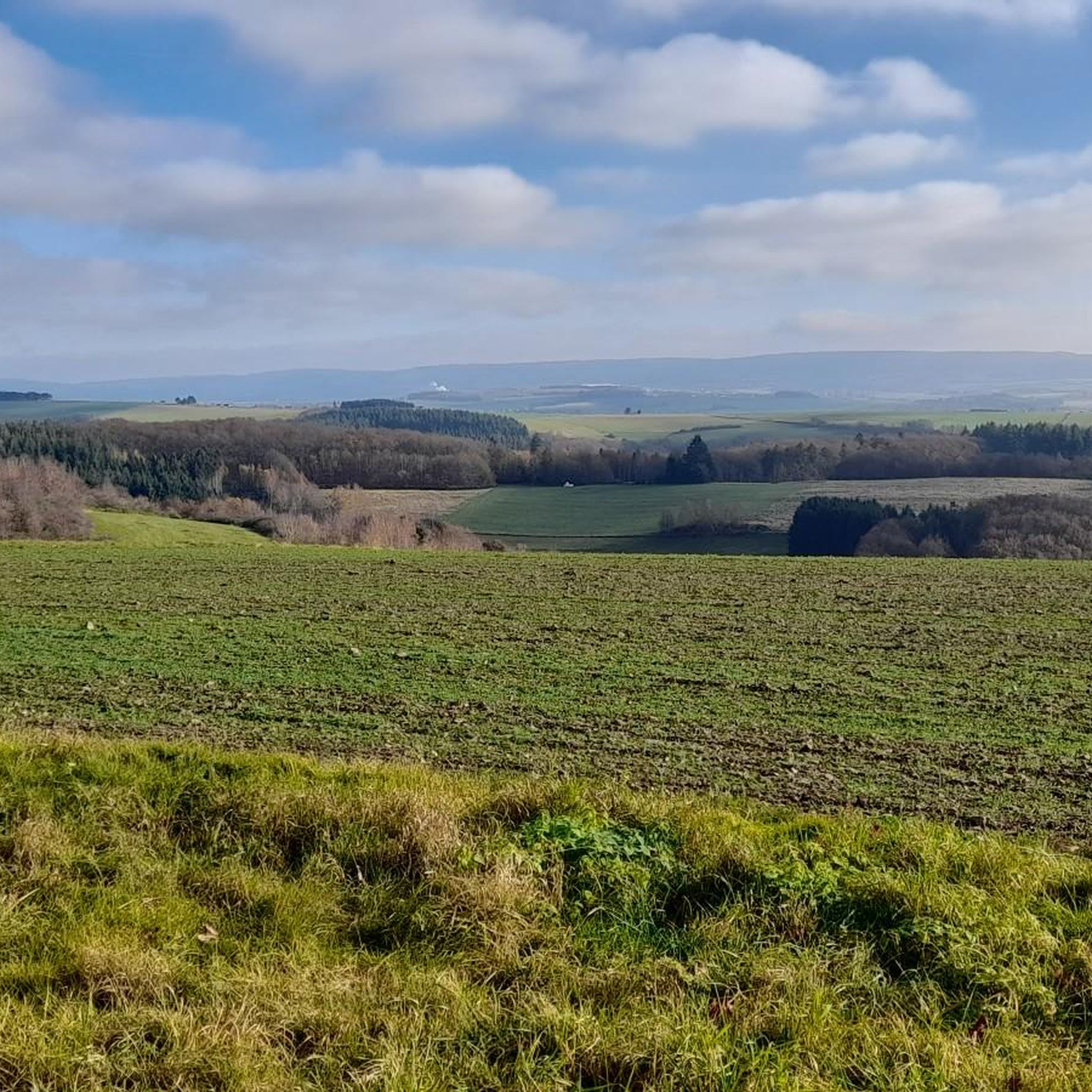
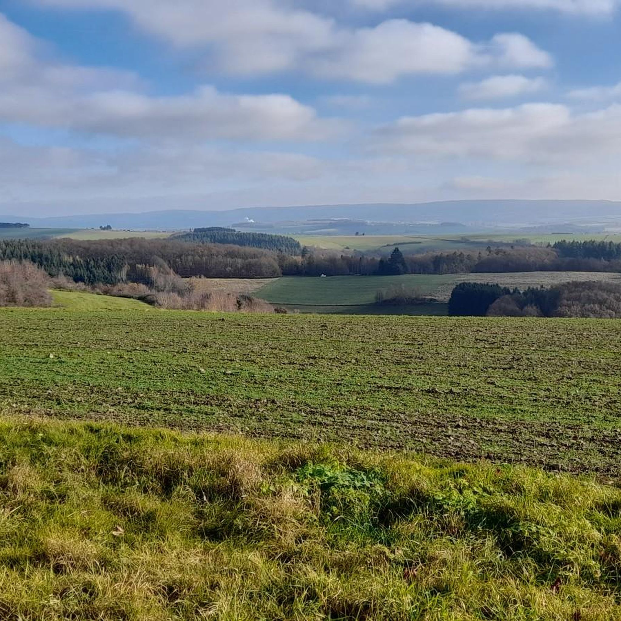
A really beautiful rest area with a great view
1
0
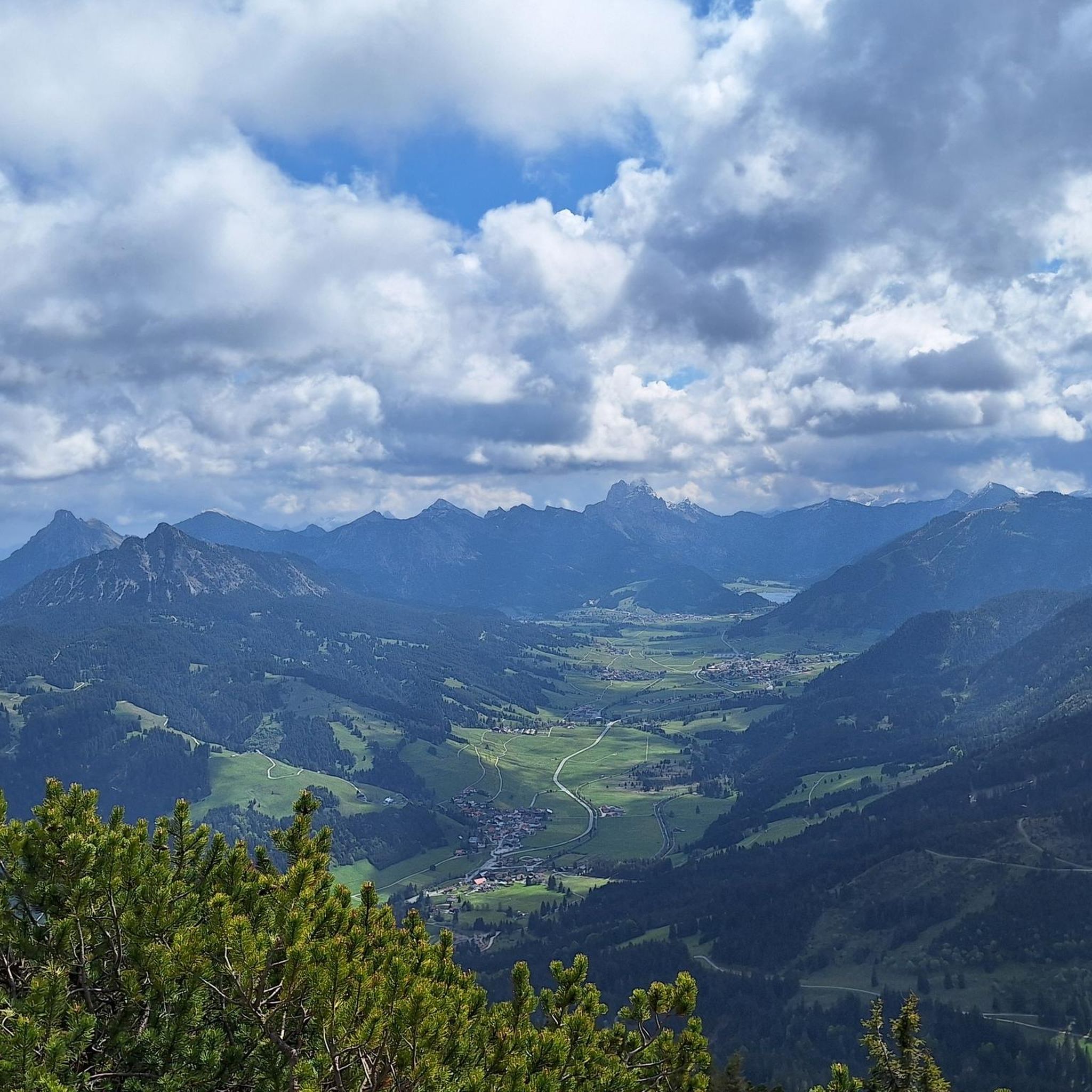
One of many beautiful viewpoints on the Traumschleife Dhrotal Wackentour
2
0

When we were on holiday with our children in Gornhausen, the Klaramühle was always one of our go-to points.
1
0


더 살펴보기
다른 지역의 최고의 하이킹를 살펴보세요.
