플론하임 최고의 워킹 & 하이킹 경로
4.5
(1319)
4,488
등산객
72
하이킹
정확한 경로를 찾는 것이 때로는 어렵지만 플론하임에서 하이킹을 하면 다양한 경치를 마음껏 감상할 수 있답니다. 플론하임에서 가장 멋진 하이킹과 워킹 중에서 마음에 드는 활동을 시작해보세요.
마지막 업데이트: 10월 4, 2026
4.8
(996)
3,190
등산객
13.9km
03:48
210m
210m
보통 하이킹. 좋은 체력 필요. 실력과 관계없이 누구나 쉽게 갈 수 있는 길.
4.8
(87)
337
등산객
9.61km
02:41
180m
180m
보통 하이킹. 좋은 체력 필요. 실력과 관계없이 누구나 쉽게 갈 수 있는 길.

4.7
(42)
134
등산객
7.94km
02:11
130m
130m
보통 하이킹. 좋은 체력 필요. 실력과 관계없이 누구나 쉽게 갈 수 있는 길.
4.8
(29)
113
등산객
4.99km
01:24
100m
100m
초급용 하이킹. 모든 체력 수준에 적합. 실력과 관계없이 누구나 쉽게 갈 수 있는 길.
4.8
(16)
64
등산객
10.4km
02:53
180m
180m
보통 하이킹. 좋은 체력 필요. 실력과 관계없이 누구나 쉽게 갈 수 있는 길.
더 다양한 경로와 다른 탐험가들의 추천을 살펴보세요.
이미 komoot 계정이 있나요?
투어 추천은 다른 사람들이 komoot에서 완료한 수천 개의 활동을 바탕으로 구성되어 있습니다.
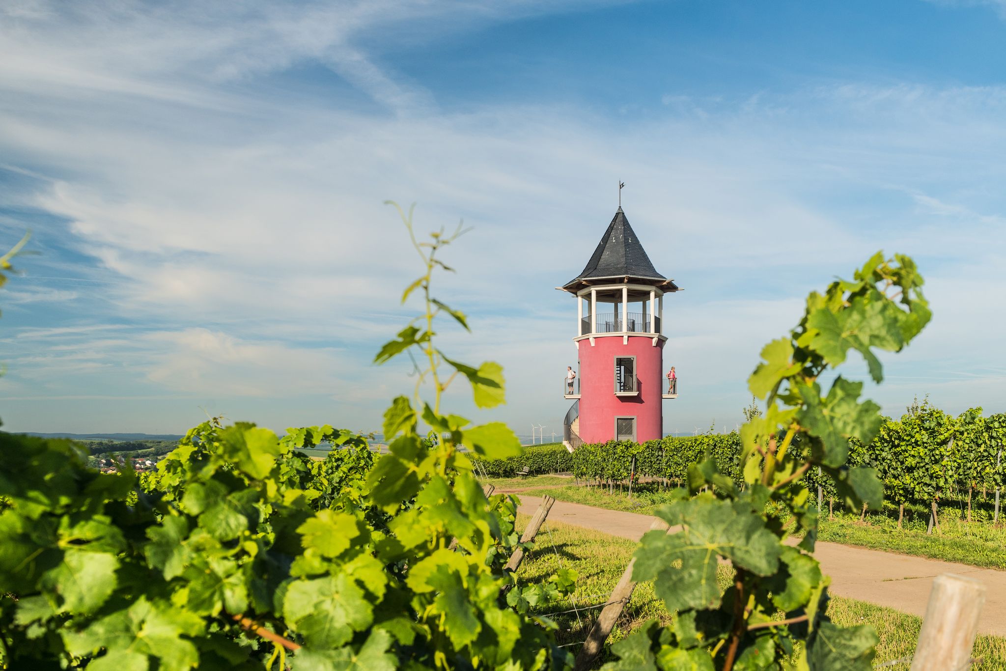

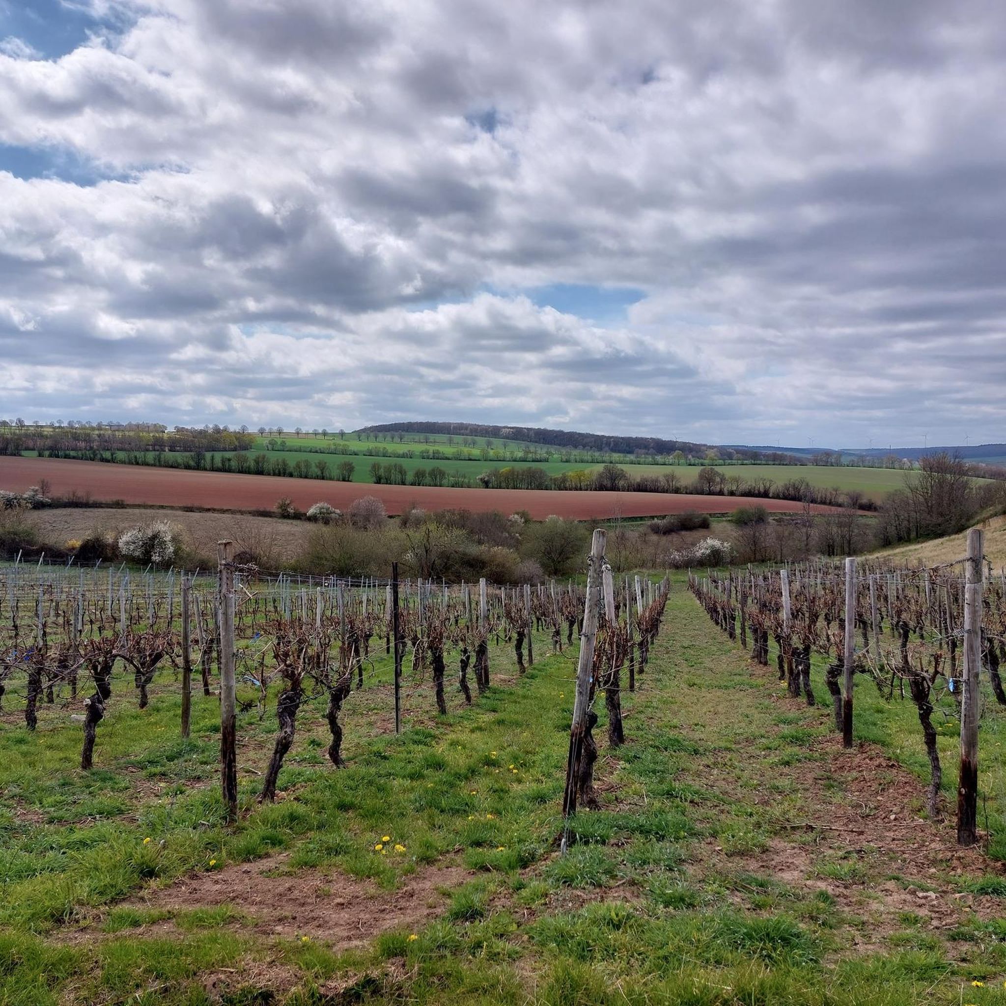
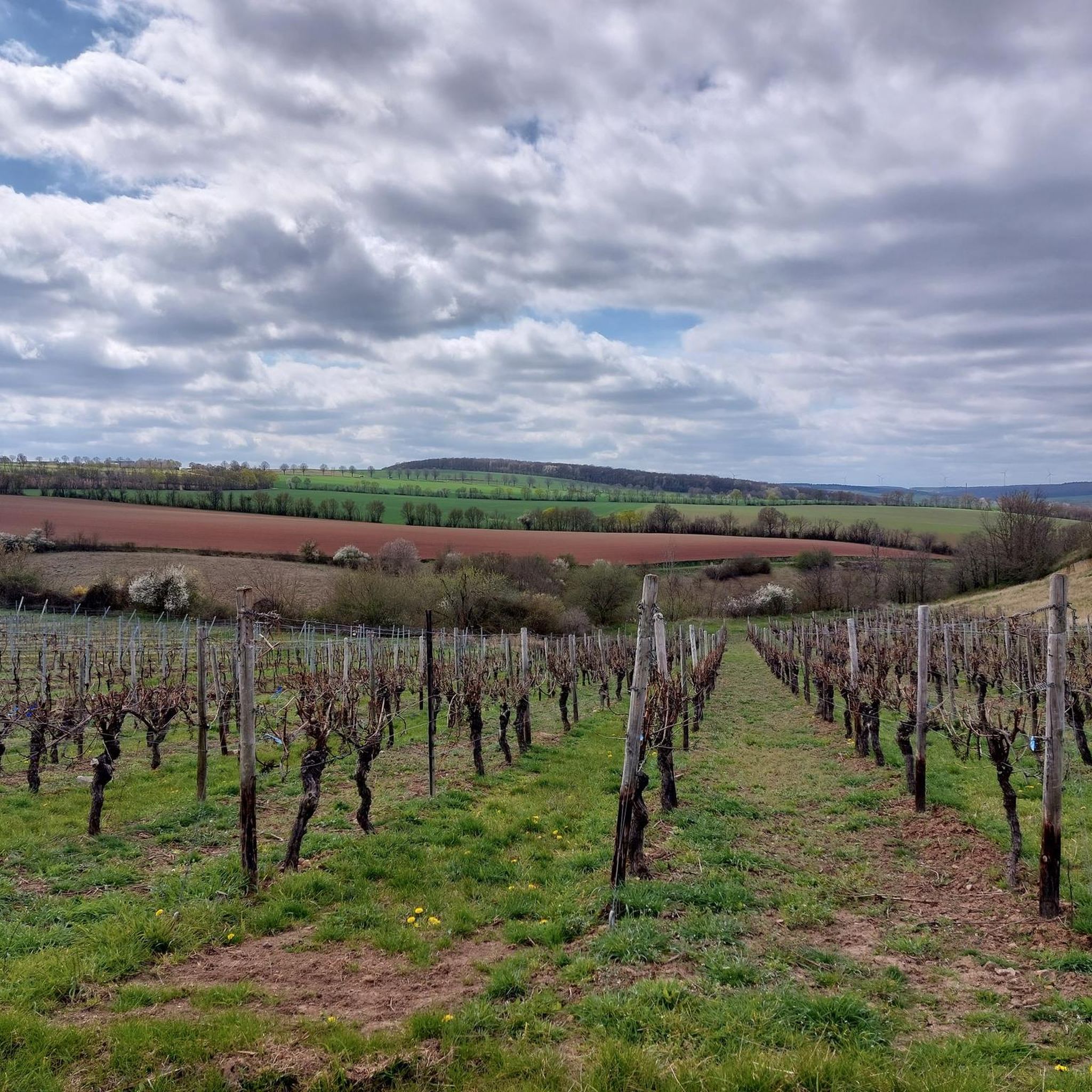
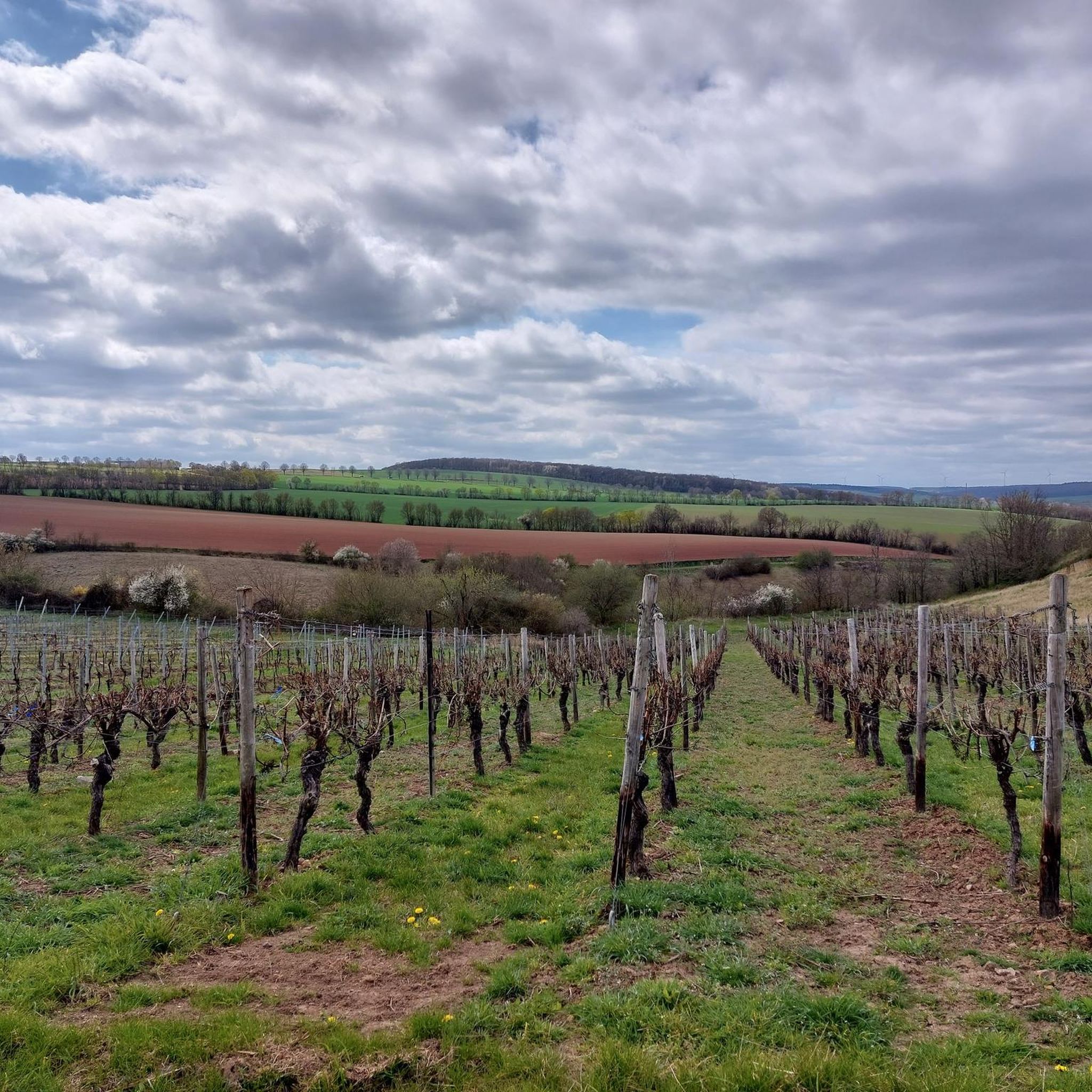

커뮤니티 팁

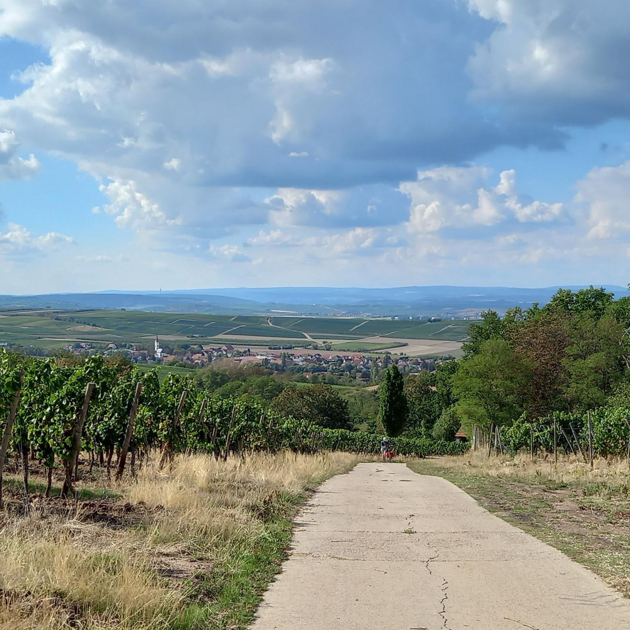
잠깐의 휴식은 해를 끼치지 않았으며, 이곳에서는 멋진 전망과 함께합니다
0
0

플론하임에서 올라온 후에는 이곳에서 휴식을 취할 가치가 있습니다.
0
0

The Hiwweltour trail leads from Uffenhofen along the old railway tracks to Flonheim. There, turn right uphill to the Jewish cemetery and the Naturfreundehaus (Nature Friends House). At the very top, approximately one hundred wind turbines can be seen. The trail then descends and follows the Aulheimer Valley back to the starting point at the small quarry.
1
0

The Aulheim Valley lies within the Flonheim district in Rheinhessen. Geologically, Rheinhessen largely corresponds to the Mainz Basin, the northeastern edge of the Upper Rhine Graben. When the Upper Rhine Graben collapsed millions of years ago during the folding of the Alps, a connection was created via the Rhone Valley to a subtropical sea in the south and via the Hessian Depression to what is now the North Sea. This led to two flooding phases in the Oligocene and Miocene. The Vorholz Peninsula was only briefly flooded. The floor of the Mainz Basin consists of rock formations from the Rotliegend or Permian periods (296–251 million years ago). There was volcanic activity here from fissure volcanoes that covered the surface with layers of lava. In the Aulheim Valley, the lava was fast-flowing, low-silica lava, which cooled quickly and solidified into porous sediment with numerous gas inclusions. This made andesite unsuitable as a building material. Water and minerals penetrated the inclusions, and after the water evaporated, agates and geodes slowly formed. On the path through the Aulheim Valley from the Geistermühle to the Aulheimer Mühle, you can still see the retaining walls of the slope on the side facing Flonheim. Boundary stones can still be found here, marking the old district boundary.
1
0
The Aulheim Valley lies within the Flonheim district in Rheinhessen. Geologically, Rheinhessen largely corresponds to the Mainz Basin, the northeastern edge of the Upper Rhine Graben. When the Upper Rhine Graben collapsed millions of years ago during the folding of the Alps, a connection was created via the Rhone Valley to a subtropical sea in the south and via the Hessian Depression to what is now the North Sea. This led to two flooding phases in the Oligocene and Miocene. The Vorholz Peninsula was only briefly flooded. The floor of the Mainz Basin consists of rock formations from the Rotliegend or Permian periods (296–251 million years ago). There was volcanic activity here from fissure volcanoes that covered the surface with layers of lava. In the Aulheim Valley, the lava was fast-flowing, low-silica lava, which cooled quickly and solidified into porous sediment with numerous gas inclusions. This made andesite unsuitable as a building material. Water and minerals penetrated the inclusions, and after the water evaporated, agates and geodes slowly formed. On the path through the Aulheim Valley from the Geistermühle to the Aulheimer Mühle, you can still see the retaining walls of the slope on the side facing Flonheim. Boundary stones can still be found here, marking the old district boundary.
1
0

In summer, the leaves obscure the view of the trullo, but it is directly opposite the panoramic lounger.
1
0
To the left above the lounge, you go through a gate into the quarry area.
0
0

The two-story sandstone building boasts a magnificent façade in the Italian Renaissance style. A three-axis gable projection spanning both floors is centrally located at the front. Above the pilaster portal, through which one enters the pharmacy, is an antique-style female marble figure in a niche. Source: https://www.regionalgeschichte.net/rheinhessen/flonheim/kulturdenkmaeler/baeren-apotheke.html
0
0
플론하임 주변에서 가장 인기 있는 명소


더 살펴보기
다른 지역의 최고의 하이킹를 살펴보세요.
