경로

플래너

기능

업데이트

App

로그인 또는 가입

앱 다운로드

로그인 또는 가입

경로
Places to see
Mountain Peaks
독일
자를란트

오트와일러

오트와일러‬에서 가장 멋진 ‪8‬개의 산 정상


오트와일러의 산 정상에 오르면 이 지역의 아름다운 모습을 제대로 구경할 수 있어요. 다만, 8
곳이나 되는 산 정상 중에서 어떤 곳을 가야 할 지 고민된다는 게 문제죠. 오트와일러에서 가장 멋진 산 정상을 살펴본 후에 마음에 드는 산 정상을 다음 모험 계획에 추가해보세요.

마지막 업데이트: 8월 31, 2026

샤움베르크 고원과 샤움베르크 전망탑

하이라이트 • 전망대

We have chosen the tower on the Schaumberg as our destination. From the top you have a great view. In addition, we were afterwards in the restaurant, where you can …

번역자 Google •

에 의해

하이킹 보기

휴대폰으로 전송

저장

회흐베르크탑

하이라이트 • 기념물

From the highest elevation of the Saarpfalz you have a great view. The key to the tower can be found in the restaurant next door. The hardships are worthwhile! Various …

번역자 Google •

에 의해

저장

이런 장소를 발견하려면 지금 가입하세요

최고의 싱글 트랙, 봉우리 및 다양한 흥미로운 야외 장소에 대한 추천을 받아보세요.

무료 회원 가입

바인하우스쾁헨 언덕

하이라이트 • 전망대

The Weinhausköpfchen is located on Rheinstrasse, the old Roman road that leads from Trier via the Vicus Wareswald to Strasbourg. The best way to get there is via the hamlet …

번역자 Google •

에 의해

저장

Steep climb to the hillside, but with rewarding views of the surrounding villages, the power plant "Weiher" and the winding tower Göttelborn.

번역자 Google •

에 의해

저장

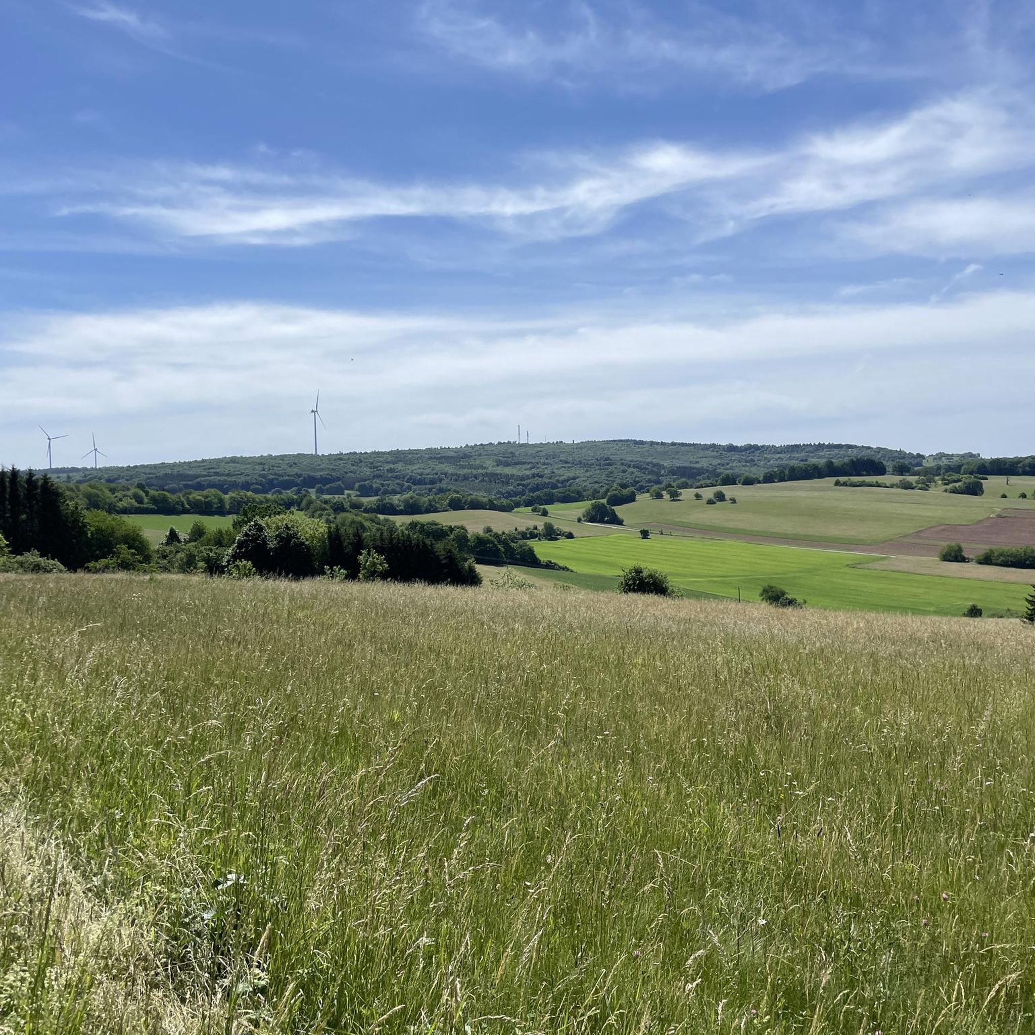
From this point between Winterbach and Alsweiler you have wonderful views in all directions. Not far away you can see the summit of the Schaumberg - not the highest peak in Saarland, but certainly the most famous.

번역자 Google •

에 의해

저장

무료로 가입하여 오트와일러 주변의 더 많은 봉우리를 발견하세요.

무료 회원 가입

이미 komoot 계정이 있나요?

오늘 무료 계정으로 시작하세요

다음 모험이 기다리고 있어요.

로그인 또는 가입하기

오트와일러 주변 인기 장소

독일의 자를란트 서킷에서 그래블과 바이크패킹의 최고를 경험하세요

Countless trails, nature & history – hiking in Saarland

10 enchanting hikes through wild nature in Saarland

오트와일러 하이킹

오트와일러 사이클링

오트와일러 MTB 트레일

오트와일러 러닝 트레일

오트와일러 로드 사이클링 경로

오트와일러 주변 그래블 라이딩

오트와일러 주변의 다른 모험

독일의 자를란트 서킷에서 그래블과 바이크패킹의 최고를 경험하세요

사이클링 컬렉션 에 의해

Saarland

커뮤니티 팁

Hynek Smolka
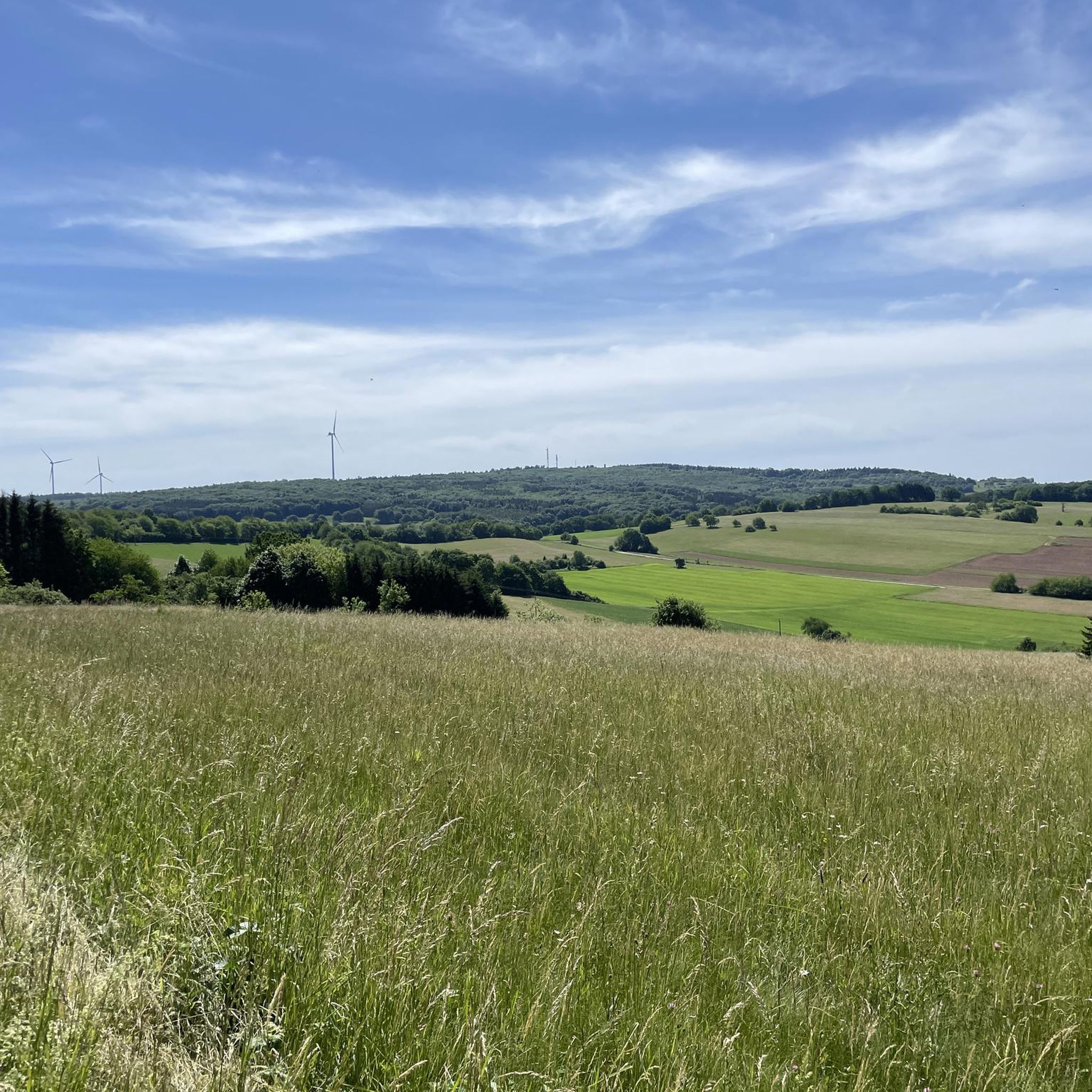
9월 1, 2024, View of Schaumberg from the Old Rheinstraße (Roman Road) Rest Area

The "Schaumbergblick" is a popular viewing point and tourist highlight in Saarland, which is especially known for its breathtaking views of the surrounding landscape.

번역: Google

2

0

From this point between Winterbach and Alsweiler you have wonderful views in all directions. Not far away you can see the summit of the Schaumberg - not the highest peak in Saarland, but certainly the most famous.

번역: Google

2

1

There are really plenty of beautiful views

번역: Google

2

1

The highlight of the rascal tour, because rascals are always thirsty 🍺 and after Corona they are allowed to go up the tower again!

번역: Google

8

0

Several great views can be enjoyed on the tour.

번역: Google

3

1

Great view of the Schaumberg.

번역: Google

2

0

𝑮𝒆𝒔𝒄𝒉𝒊𝒄𝒉𝒕𝒆 𝑺𝒄𝒉𝒂𝒖𝒎𝒃𝒆𝒓𝒈𝒕𝒖𝒓𝒎 𝒖𝒏𝒅 𝒅𝒆𝒎 𝑲𝒓𝒆𝒖𝒛 𝒃𝒆𝒊 𝑺𝒐𝒕𝒛𝒘𝒆𝒊𝒍𝒆𝒓 In 1914 a tower in honor of Kaiser Wilhelm II was to be built on the mountain plateau. However, the execution of this plan was interrupted by the First World War. Only a 5 m high ruin remained, on which a tower with an integrated war memorial chapel was built from 1927. The larger-than-life crucifix set in the central arch of the tower was striking. This tower had to be demolished in 1972 because it was in disrepair. The undamaged crucifix should be blown up. The construction workers, all from the Catholic villages in the vicinity or of Italian origin, refused to blow up the symbol of faith. The crucifix was removed undamaged, kept for a short time in a shed on the edge of the mountain plateau and later set up not far from the motorway junction near Sotzweiler. Source: Text Wikipedia

번역: Google

10

0

𝑹ö𝒎𝒊𝒔𝒄𝒉𝒆 𝑯ö𝒉𝒆𝒏𝒇𝒆𝒔𝒕𝒖𝒏𝒈 The extensive excavations that were carried out during the redesign of the Schaumberg plateau showed for the first time that the area was already being used intensively in Roman times. An extensive building with mighty walls in particular deserves attention. It proves that the square was already built on in the 3rd century AD. The foundation stone of the building took place in the 1st / 2nd Century AD. The oldest part is a wall at least 19m long and 1.1m thick made of hand blocks, which belonged to a 12m wide building, against which several vaulted cellars were placed shortly afterwards. A coin find shows that these cellars were demolished towards the end of the 3rd century AD and the building was reinforced by a row of arched walls. Very unusual and almost unknown from archaeological excavations, these arches do not open inwards but outwards. The building is interpreted as a high altitude sanctuary, which later became a fortification structure. Source: Text information board

번역: Google

8

0

오트와일러 주변에서 가장 인기 있는 경로

오트와일러 하이킹

오트와일러 주변에서 가장 인기 있는 명소

Lakes

Store rating

komoot 모바일 앱으로 영감을 받아보세요

무료 komoot 계정로 끝없는 야외 모험을 손쉽게 찾고, 맞춤 설정하며 길안내할 수 있어요.

또는

지금 komoot에 가입하세요

Store rating

더 살펴보기

이 가이드를 통해 오트와일러 주변의 더 놀라운 정상들을 확인해보세요:

에펠본머치와일러쉬프와일러슈피젠-엘버스베르그

근처 어드벤처 가이드

장크트 벤델 즐길거리

background

새로운 정복을 위한 준비를 하세요

무료로 가입하기

탐험하기
경로경로 플래너기능바우처 사용하이킹MTB 트레일로드 사이클링 경로바이크패킹사이트맵
앱 다운로드
소셜 미디어에서 팔로우하기

© komoot GmbH

개인 정보 보호 정책