경로

플래너

기능

업데이트

App

로그인 또는 가입

앱 다운로드

로그인 또는 가입

경로
Places to see
Mountain Peaks
독일
바덴뷔르템베르크
프라이부르크 지구
에멘딩겐

비더바흐

비더바흐‬에서 가장 멋진 ‪20‬개의 산 정상


비더바흐의 산 정상에 오르면 이 지역의 아름다운 모습을 제대로 구경할 수 있어요. 다만, 20
곳이나 되는 산 정상 중에서 어떤 곳을 가야 할 지 고민된다는 게 문제죠. 비더바흐에서 가장 멋진 산 정상을 살펴본 후에 마음에 드는 산 정상을 다음 모험 계획에 추가해보세요.

마지막 업데이트: 8월 30, 2026

휘너제델 전망대 및 그릴장

하이라이트 • 전망대

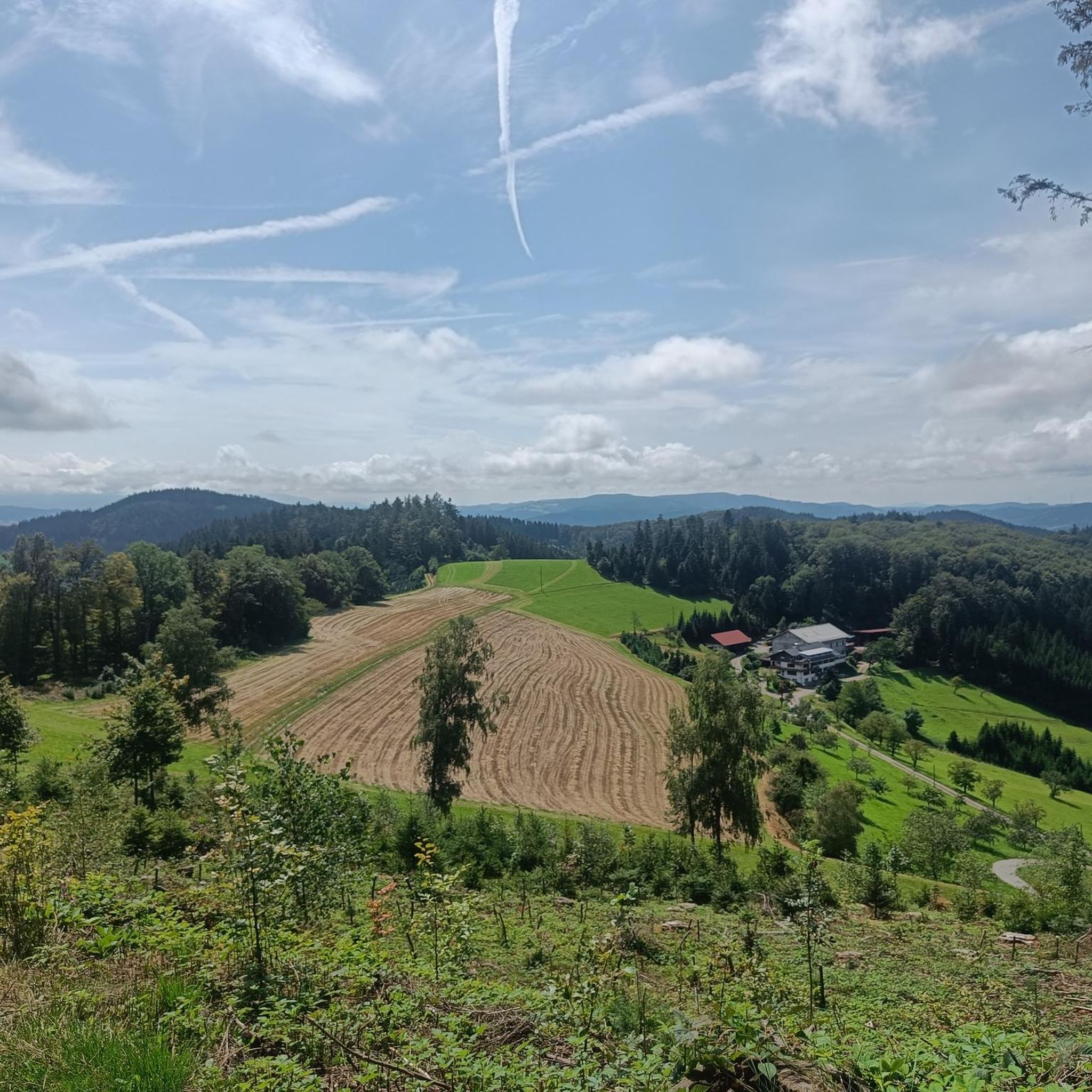
Very nice view the climb is definitely worth the kiosk has only on weekends!

번역자 Google •

에 의해

라이딩 보기

휴대폰으로 전송

저장

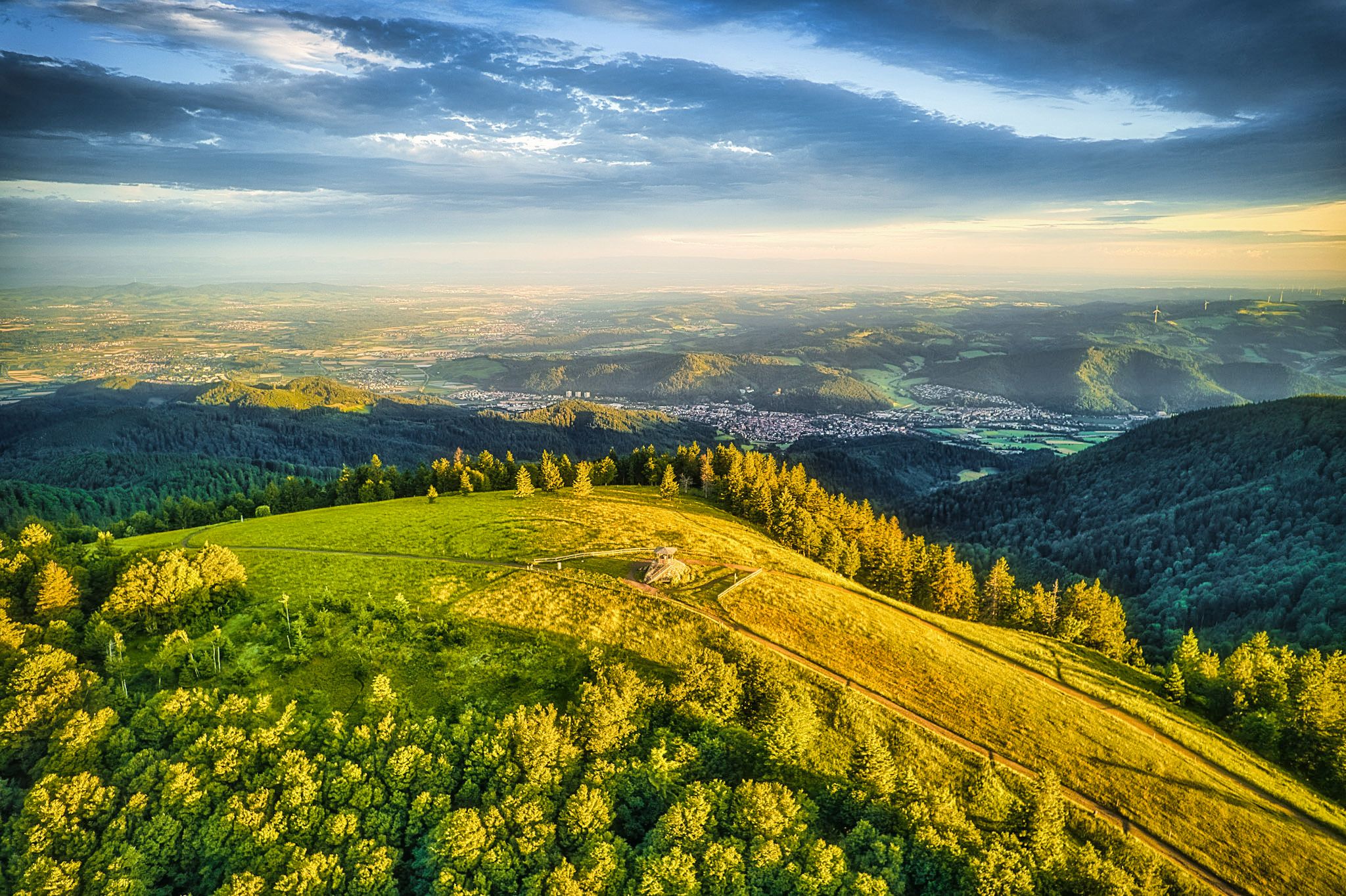
Magnificent view of the Elz Valley and the Vosges. Pilgrimage church with rustic inn and kiosk.

번역자 Google •

에 의해

저장

이런 장소를 발견하려면 지금 가입하세요

최고의 싱글 트랙, 봉우리 및 다양한 흥미로운 야외 장소에 대한 추천을 받아보세요.

무료 회원 가입

카를슈타인

하이라이트 • 자연 기념물

Formation of granite rocks with a viewpoint on top. Until 1805, the Karlstein marked a quadrilateral area where the states of Baden and Württemberg as well as the Fürstenbergische and Vorderösterreichischen possessions met each other.

번역자 Google •

에 의해

저장

파렌코프의 하세만 산장

하이라이트 • 산장

In 1899 the Hasemann hut was built on the Farrenkopf. In front of the two-storey cottage you will find tables and benches to rest, while you can enjoy the great …

번역자 Google •

에 의해

저장

후버펠젠 전망대

하이라이트 • 전망대

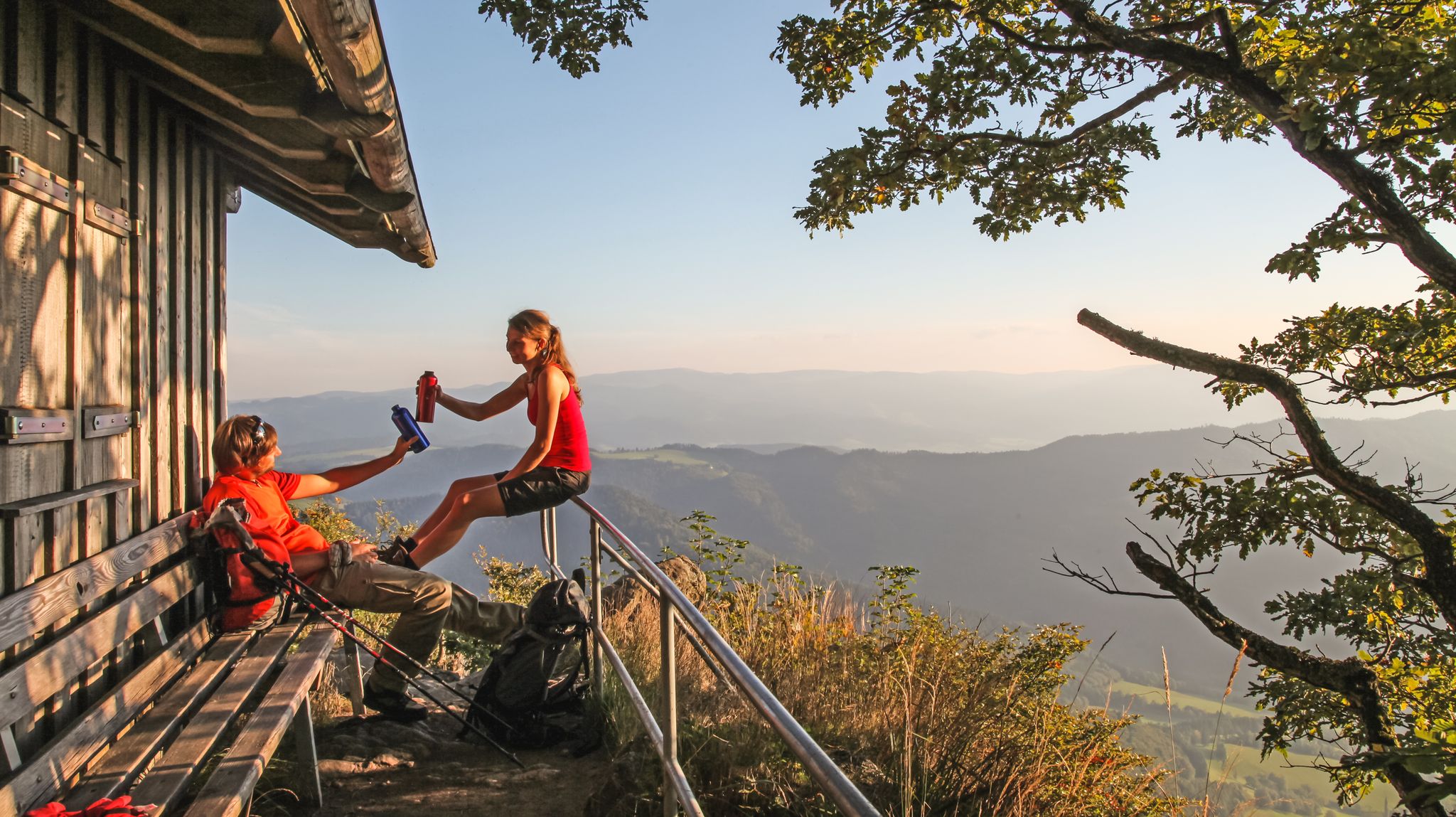
From the Huberfelsen you have a wonderful view of the upper Elztal and the forest of the Middle Black Forest extending in all directions. The mighty granite boulder, secured by an iron railing, can be reached via a simple ascent.

번역자 Google •

에 의해

저장

무료로 가입하여 비더바흐 주변의 더 많은 봉우리를 발견하세요.

무료 회원 가입

이미 komoot 계정이 있나요?
오늘 무료 계정으로 시작하세요

다음 모험이 기다리고 있어요.

로그인 또는 가입하기

비더바흐 주변 인기 장소

숲과 풀밭 사이를 걷기 - 로트바일-라르 블랙포레스트 트레일

5 단계 하이킹 ZweiTälerSteig – 독일의 Black Forest 발견

서쪽보다 더 서쪽 – кан델호헨웨그의 5 에탱

Two valleys, endless views – hiking in the ZweiTälerLand

라르-로트바일 퀘르베크에서 4일

비더바흐 하이킹

비더바흐 사이클링

비더바흐 MTB 트레일

비더바흐 로드 사이클링 경로

비더바흐 러닝 트레일

비더바흐 주변의 다른 모험

숲과 풀밭 사이를 걷기 - 로트바일-라르 블랙포레스트 트레일

하이킹 컬렉션 에 의해

Tamara (unterwegs)

커뮤니티 팁

🇺🇦 Genuss-Tourer 🇪🇺
10월 3, 2023, Hünersedel Observation Tower

The Hünersedel is a mountain in the central Black Forest with a height of 744.3 m above sea level. Its name means "giant's seat". In a document from the year 926, the mountain is called "Stoufinberc". It lies in the border area of the two municipalities of Schuttertal and Freiamt. The summit of the mountain is at the northern end of the municipality of Freiamt. The river Schutter rises at the Hünersedel. The Hünersedel was the highest mountain in the old district of Lahr. From the tower you have a gigantic view.

번역: Google

4

0

a very nice lookout tower. Very suitable for taking a break, with a barbecue area.

번역: Google

5

0

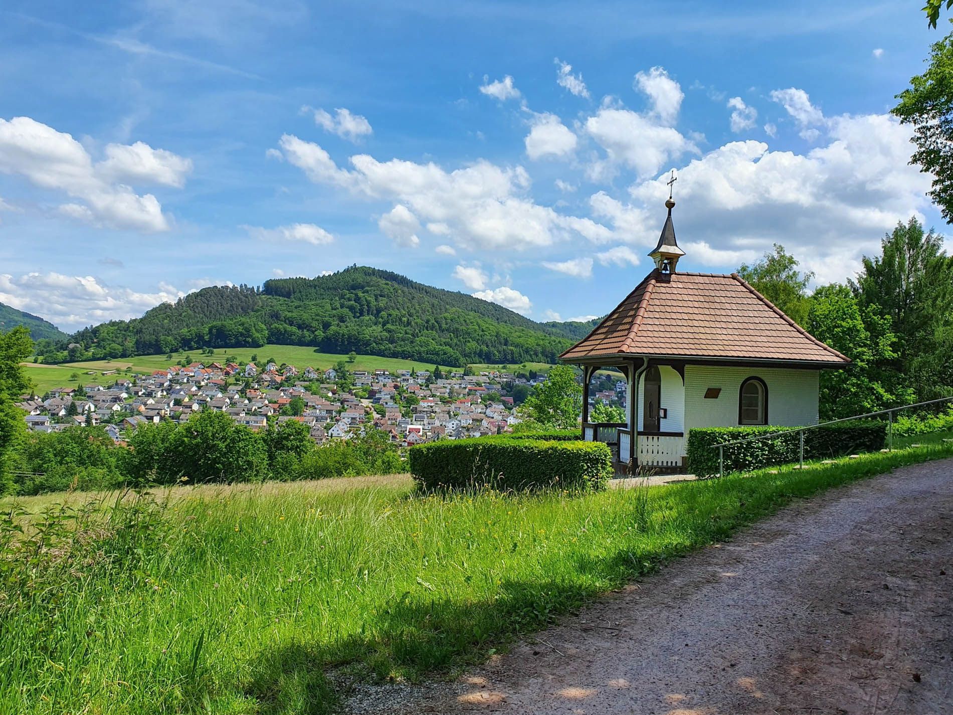
Views, refreshments and a pretty church make the Hörnleberg a peak experience.

번역: Google

7

0

Unattended refuge with a lounge with tables and benches. Via stairs to the bare attic where you can sleep. There is a spring to the west of the Farrenkopf, which is signposted for coming from both the north and south.

번역: Google

11

0

Great view!

번역: Google

4

0

Once up here you really deserve this view ...

번역: Google

8

0

Named after the landscape and genre painter Wilhelm Hasemann.

번역: Google

13

1

More information under the following link: https://de.m.wikipedia.org/wiki/Farrenkopf_(Hausach)

번역: Google

11

0

비더바흐 주변에서 가장 인기 있는 경로

비더바흐 하이킹

비더바흐 주변에서 가장 인기 있는 명소

Places to see

Store rating

komoot 모바일 앱으로 영감을 받아보세요

무료 komoot 계정로 끝없는 야외 모험을 손쉽게 찾고, 맞춤 설정하며 길안내할 수 있어요.

또는

지금 komoot에 가입하세요

Store rating

더 살펴보기

이 가이드를 통해 비더바흐 주변의 더 놀라운 정상들을 확인해보세요:

엘자크빈든 임 엘츠탈프라이암트섹소시몬스발트구타흐 임 브리스가우발트키르히테닝겐덴즐링겐뵈르슈테텐발링겐루트켄징겐리겔사스바흐 암 카이저스툴말터딩겐헤르볼츠하임

근처 어드벤처 가이드

빈든 임 엘츠탈 즐길거리

background

새로운 정복을 위한 준비를 하세요

무료로 가입하기

탐험하기
경로경로 플래너기능바우처 사용하이킹MTB 트레일로드 사이클링 경로바이크패킹사이트맵
앱 다운로드
소셜 미디어에서 팔로우하기

© komoot GmbH

개인 정보 보호 정책