함민켈른 최고의 라이딩 경로
4.5
(117)
1,536
자전거 타는 사람
164
라이딩
함민켈른에서 로드 사이클링을 하실 계획인가요? 함민켈른의 모든 로드 라이딩 중에서 가장 멋진 라이딩 장소를 엄선했으니 함민켈른에서 가장 마음에 드는 로드 사이클링 경로를 찾아보세요.
마지막 업데이트: 7월 24, 2026
4.2
(20)
77
자전거 타는 사람
35.0km
01:27
80m
80m
초급용 로드 라이딩. 모든 체력 수준에 적합. 지면 대부분이 잘 포장되어 있고 라이딩하기 쉬움.
5.0
(1)
47
자전거 타는 사람
51.6km
02:04
70m
70m
보통 도로 자전거 타기. 좋은 체력 필요. 지면 대부분이 잘 포장되어 있고 라이딩하기 쉬움.

무료 회원 가입
4.8
(4)
29
자전거 타는 사람
54.3km
02:53
120m
120m
보통 도로 자전거 타기. 좋은 체력 필요. 투어 중 라이딩하기 어려운 비포장 구간이 있을 수 있음.
4.1
(7)
46
자전거 타는 사람
36.3km
01:27
60m
60m
초급용 로드 라이딩. 모든 체력 수준에 적합. 지면 대부분이 잘 포장되어 있고 라이딩하기 쉬움.
4.9
(10)
88
자전거 타는 사람
37.7km
01:32
60m
60m
초급용 로드 라이딩. 모든 체력 수준에 적합. 지면 대부분이 잘 포장되어 있고 라이딩하기 쉬움.
더 다양한 경로와 다른 탐험가들의 추천을 살펴보세요.
무료 회원 가입
이미 komoot 계정이 있나요?
투어 추천은 다른 사람들이 komoot에서 완료한 수천 개의 활동을 바탕으로 구성되어 있습니다.
오늘 무료 계정으로 시작하세요
다음 모험이 기다리고 있어요.
로그인 또는 가입하기
함민켈른 주변 인기 장소
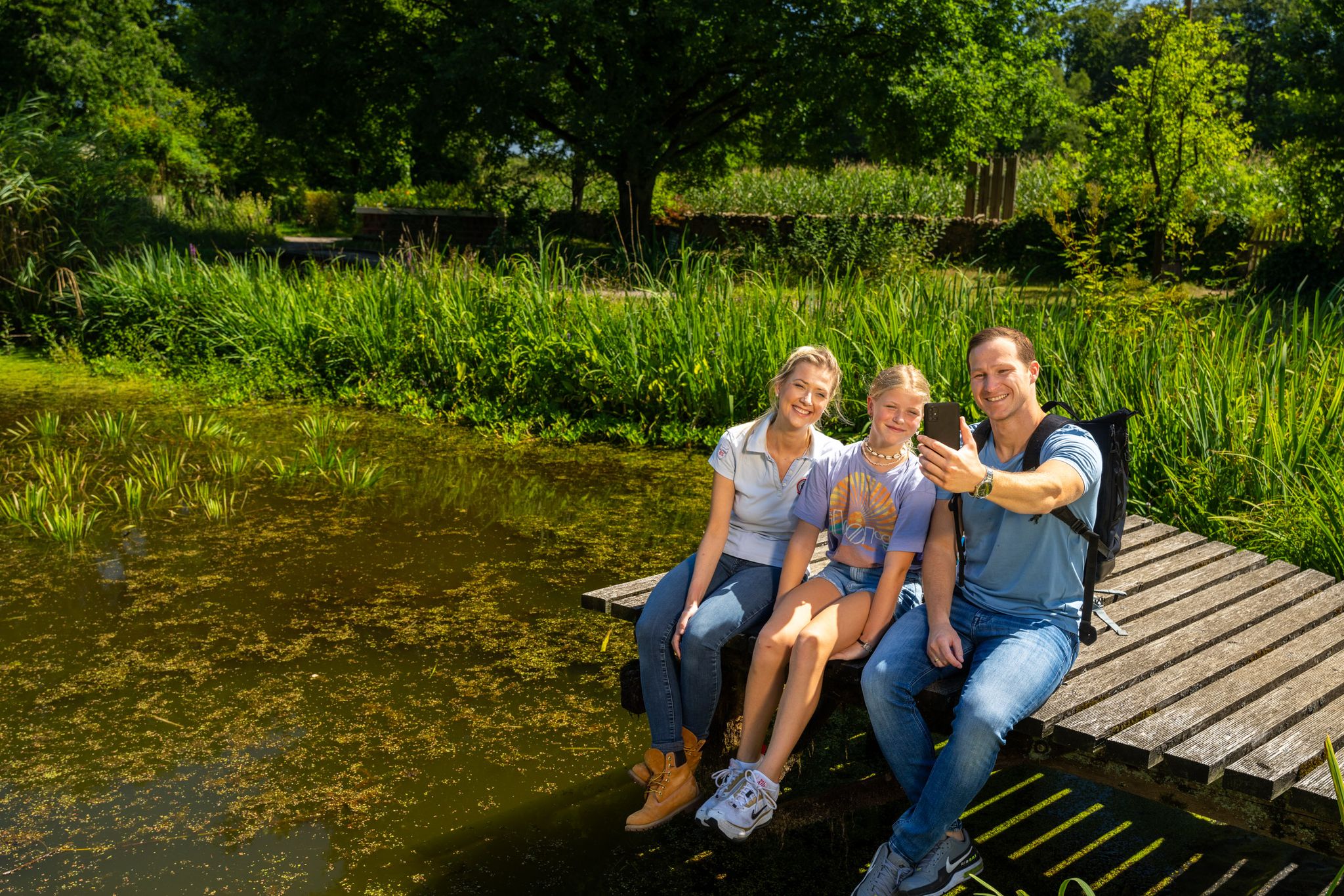
Hiking and discoveries – family walks in the Hohe Mark Nature Park
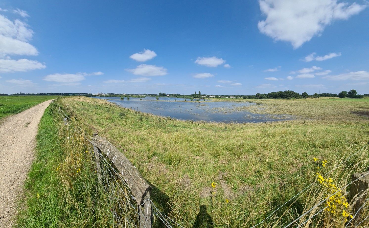
길은 목적입니다 - 하렌 경로
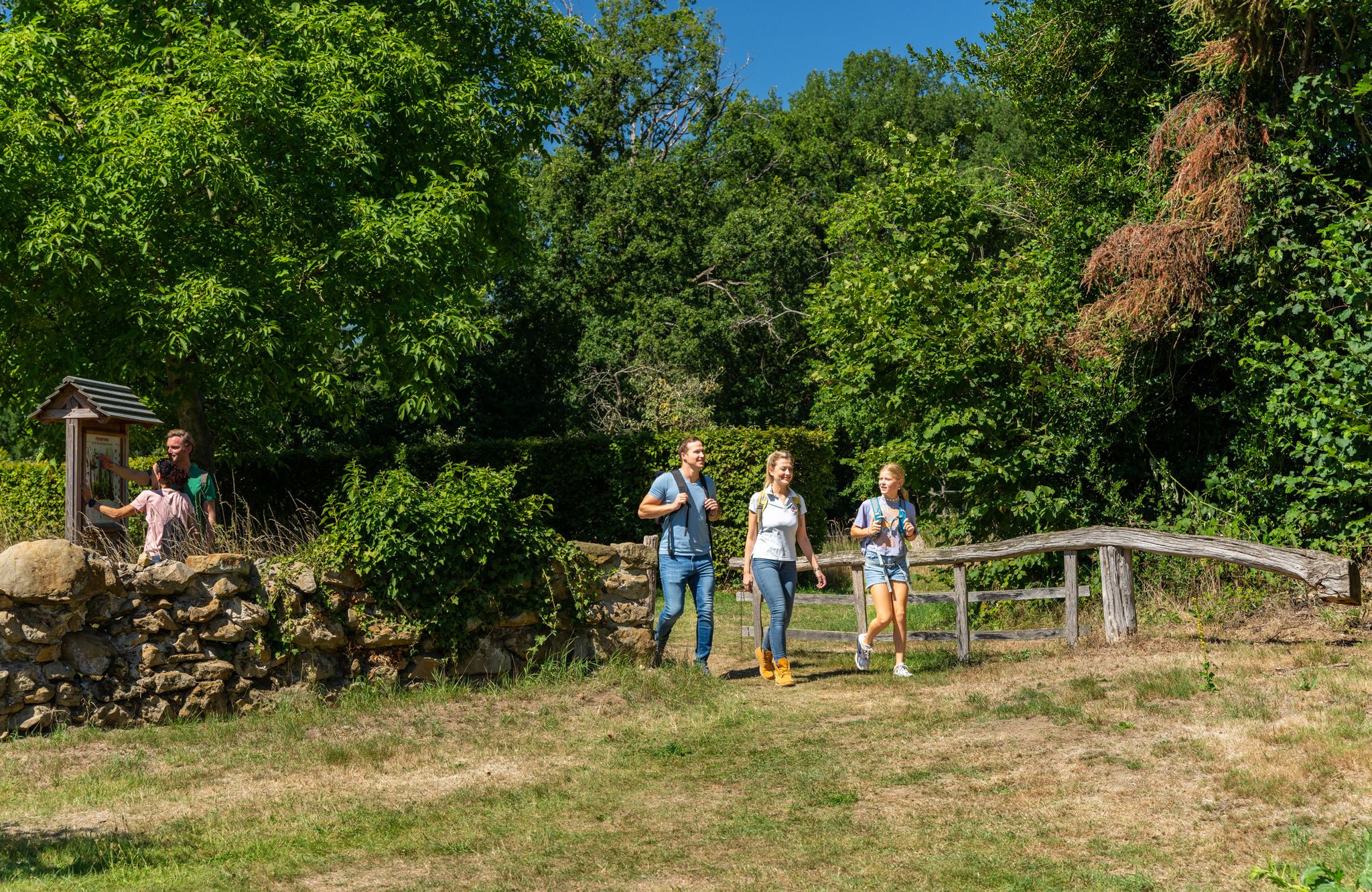
LandStreifer – circular hiking trails to Germany’s Hohe Mark Steig
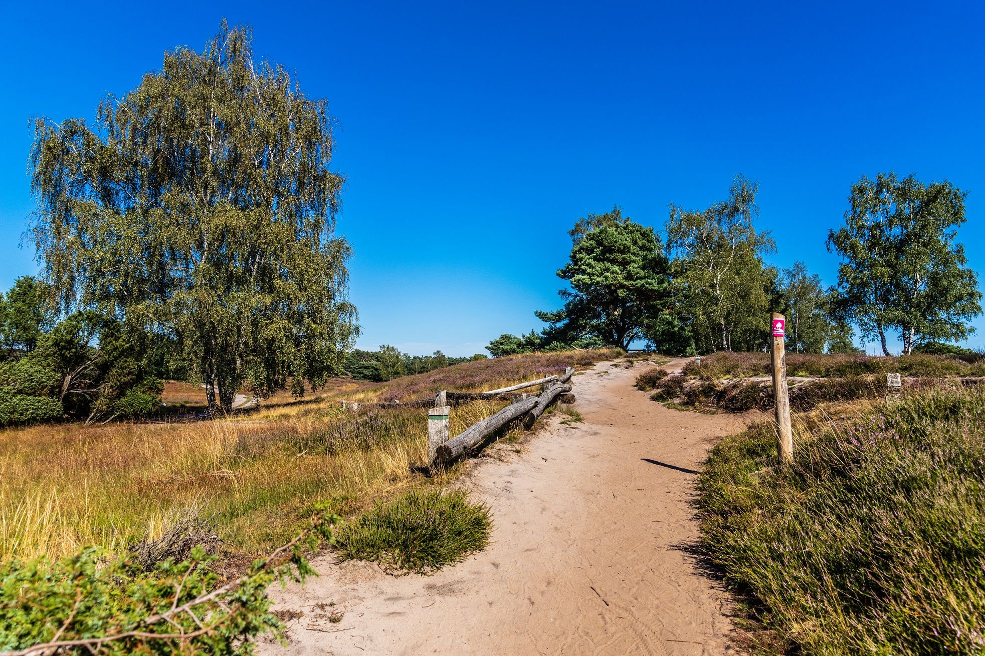
당신의 자연과의 유대 - 독일의 Hohe Mark Steig
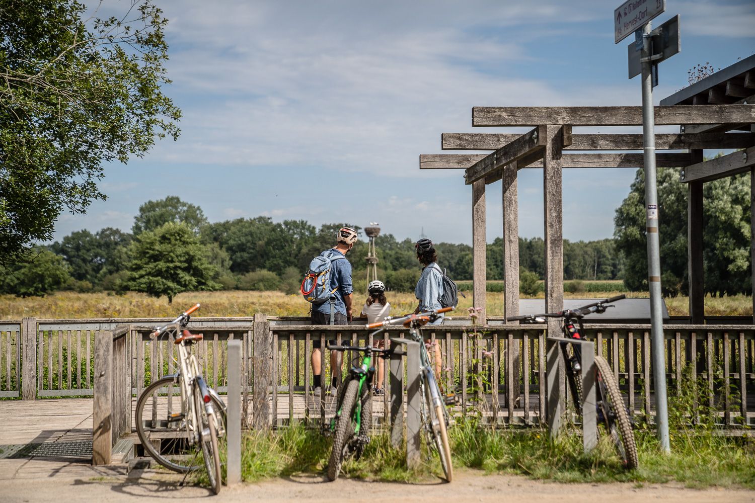
Day Tours on the Hohe Mark cycle route
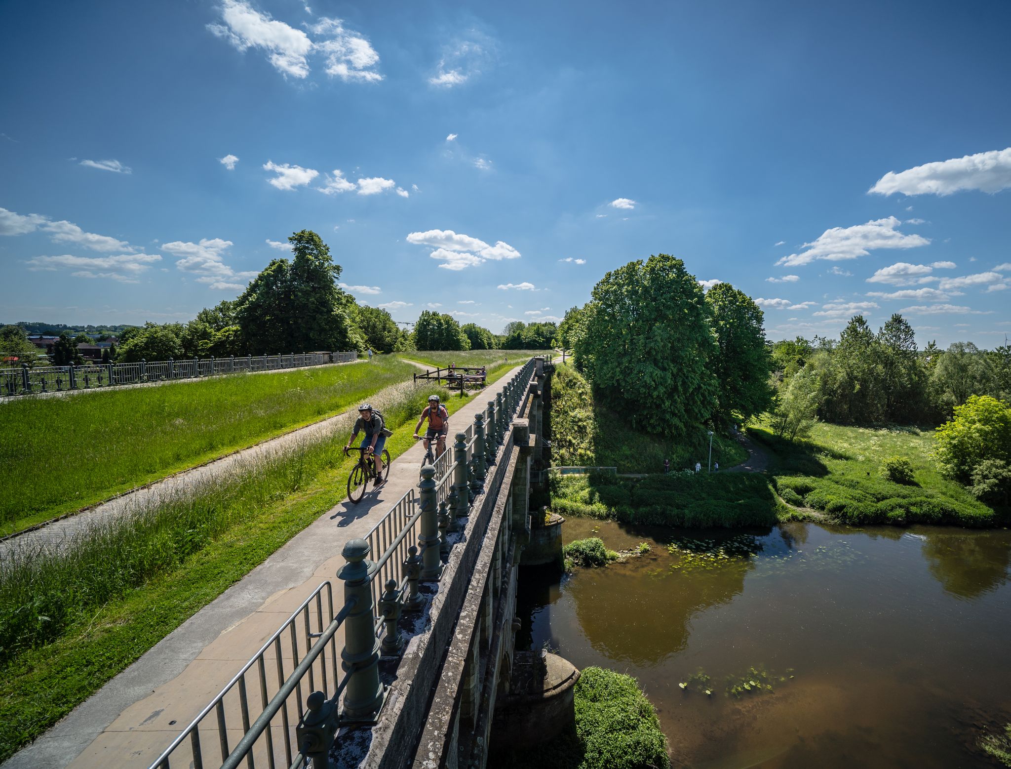
Hohe Mark RadRoute – Deine Extraspur Natur
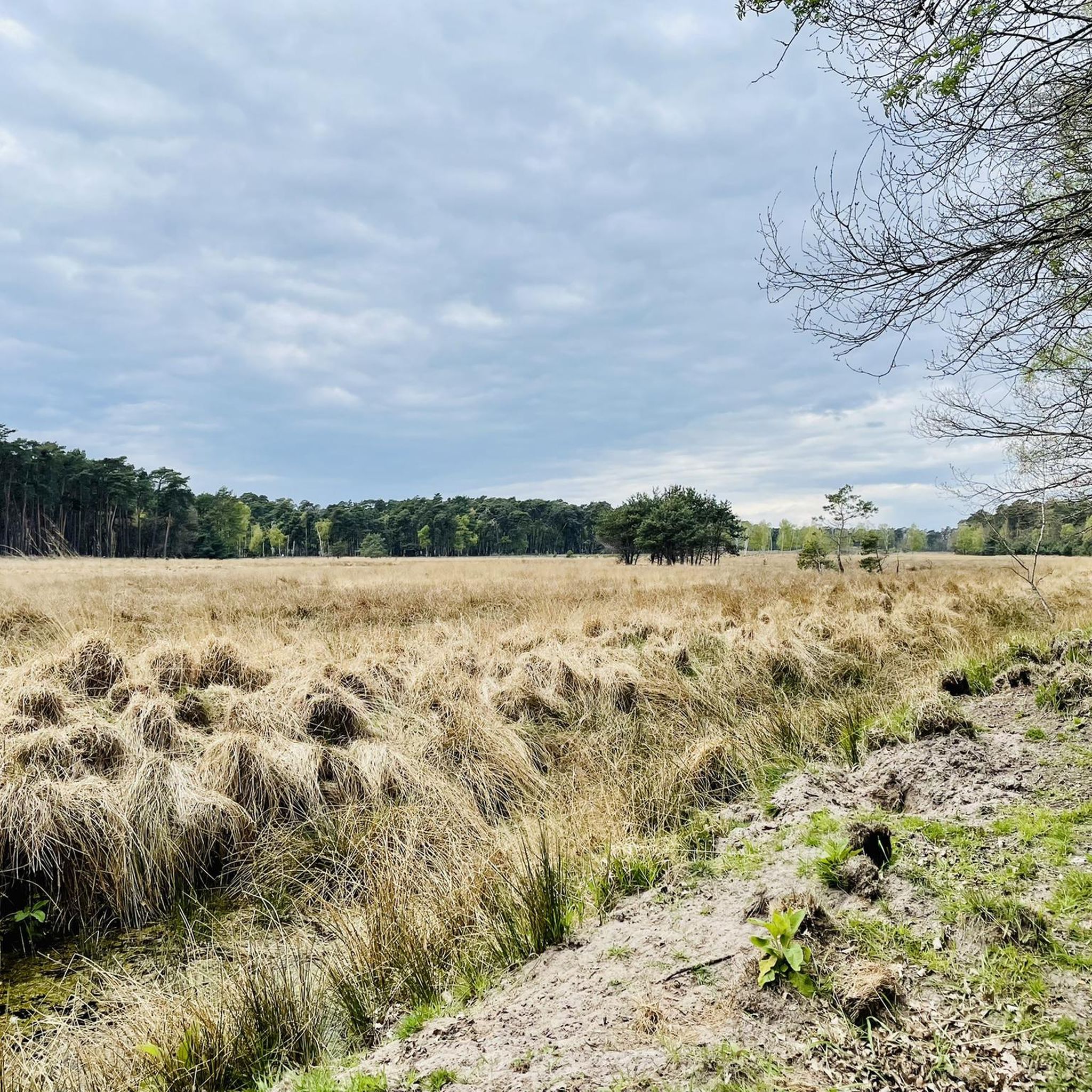
함민켈른 하이킹
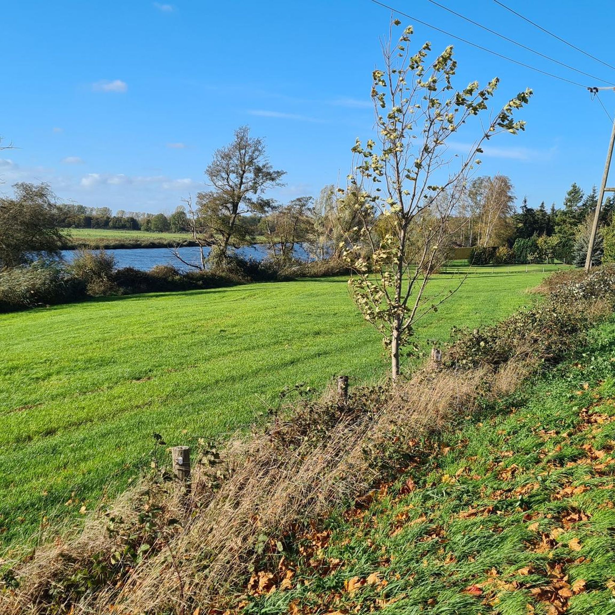
함민켈른 사이클링
함민켈른 주변 그래블 라이딩
함민켈른 러닝 트레일
함민켈른 주변의 다른 모험


커뮤니티 팁


Rough asphalt, a bit uneven, but only 1 km long. Shouldn't be a problem.
1
0
there you can still have something to eat and drink
1
0
Best bike path in the area
1
0

This "bauKULTURstelle" (building culture center) in the Westphalian village of Dingden originates from a civil society initiative. The renovation of the two old buildings has created a vibrant town center with a vibrant program: https://baukulturstelle.de
2
0

This stretch brings you very close to the Rhine. It's not in the best condition (2025), but it's still rideable on a racing bike if you hold your teeth tight 😅
1
0

In 2001, for the 25th anniversary of the Dingden local history association, this draw well was donated to the NRW Foundation and the Nabu. At the inauguration, Wendelin Haverkamp named the draw well "Anton". Anton van Stegen was on the board of the Dingden local history association for many years and built this well. He still feels responsible for the draw well and regularly visits the well to check that everything is in order. The wood of the swinging tree (previously always made of oak) also has to be replaced every 5 years or so. Although Mr van Stegen would have liked to try it out with an acacia to see if it might be more durable. (Source: Bocholter Borkener Volksblatt, BBV)
5
0

Restaurant highly recommended, very nice ambience, good food
3
0
함민켈른 주변에서 가장 인기 있는 명소


더 살펴보기
다른 지역의 최고의 로드 사이클링 경로를 살펴보세요.
