슈티펜호펜에서 가장 멋진 20개의 산 정상
슈티펜호펜의 산 정상에 오르면 이 지역의 아름다운 모습을 제대로 구경할 수 있어요. 다만, 20
곳이나 되는 산 정상 중에서 어떤 곳을 가야 할 지 고민된다는 게 문제죠. 슈티펜호펜에서 가장 멋진 산 정상을 살펴본 후에 마음에 드는 산 정상을 다음 모험 계획에 추가해보세요.
마지막 업데이트: 8월 2, 2026
Hündlekopf 정상
하이라이트 • 정상
번역문 보기
팁에 의해


이런 장소를 발견하려면 지금 가입하세요
최고의 싱글 트랙, 봉우리 및 다양한 흥미로운 야외 장소에 대한 추천을 받아보세요.
무료 회원 가입
그로서 알프제와 알가우 알프스 전망
하이라이트 • 전망대
번역자 Google •
팁에 의해

호흐그라트반 산정상역
하이라이트 • 휴식 공간
번역자 Google •
팁에 의해

호흐그라트 능선 트레일
하이라이트 • 트레일
번역자 Google •
팁에 의해
무료로 가입하여 슈티펜호펜 주변의 더 많은 봉우리를 발견하세요.
무료 회원 가입
이미 komoot 계정이 있나요?


커뮤니티 팁

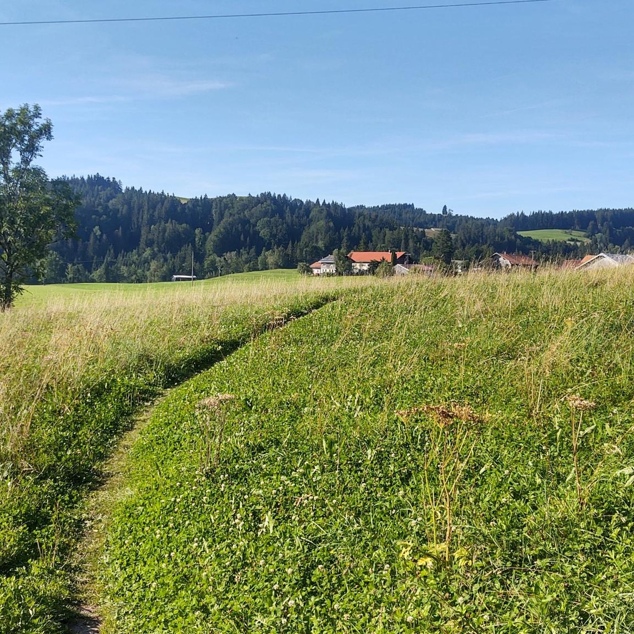
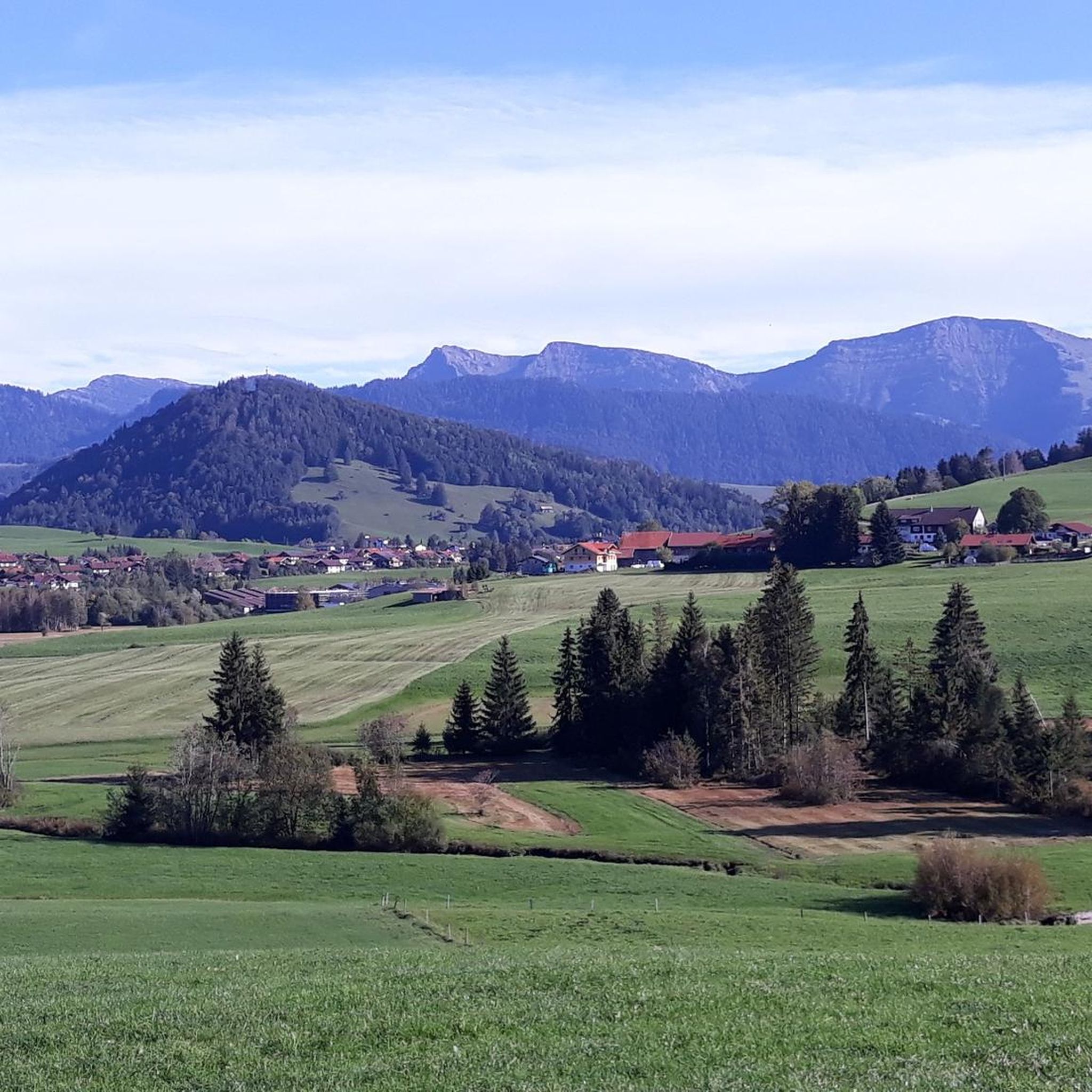
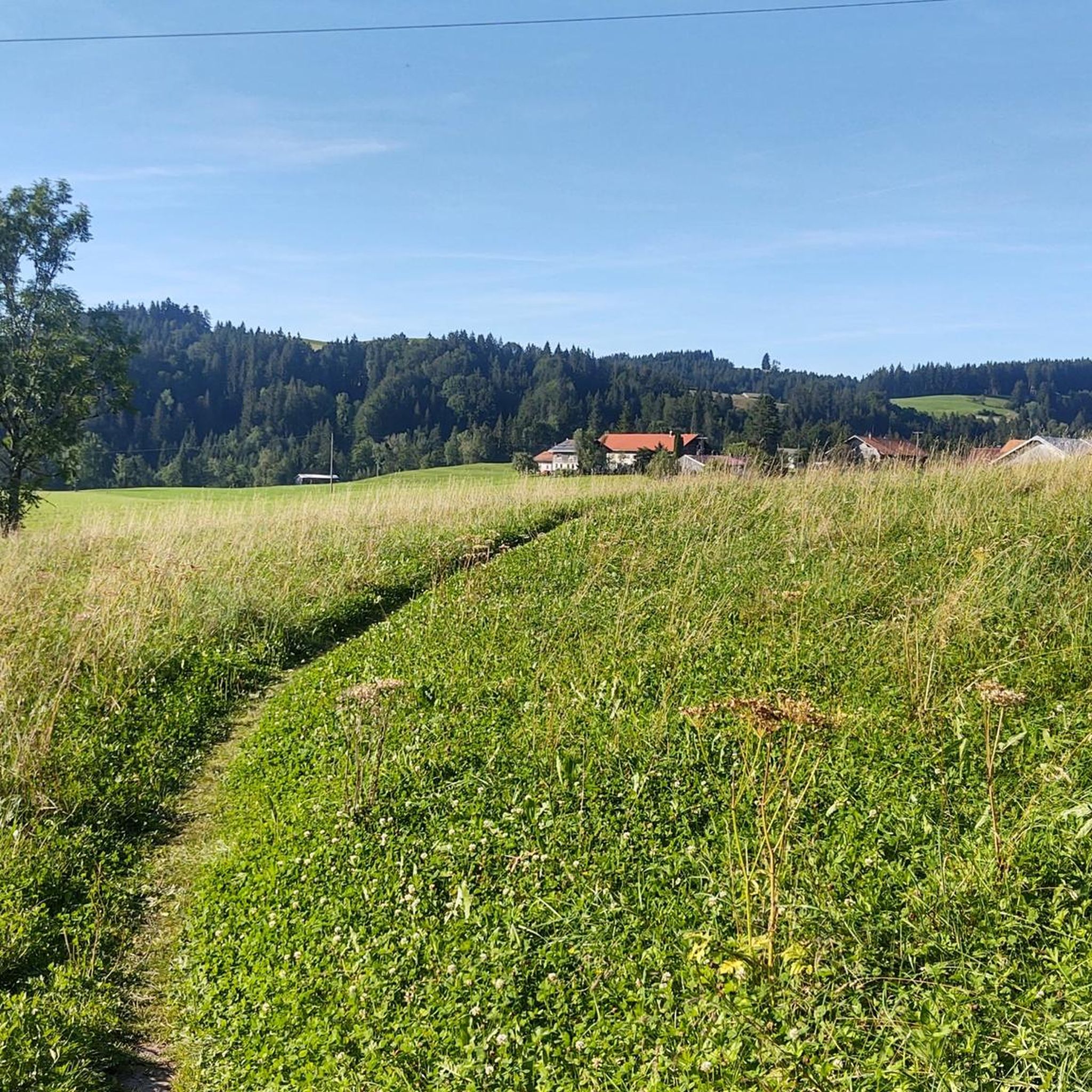
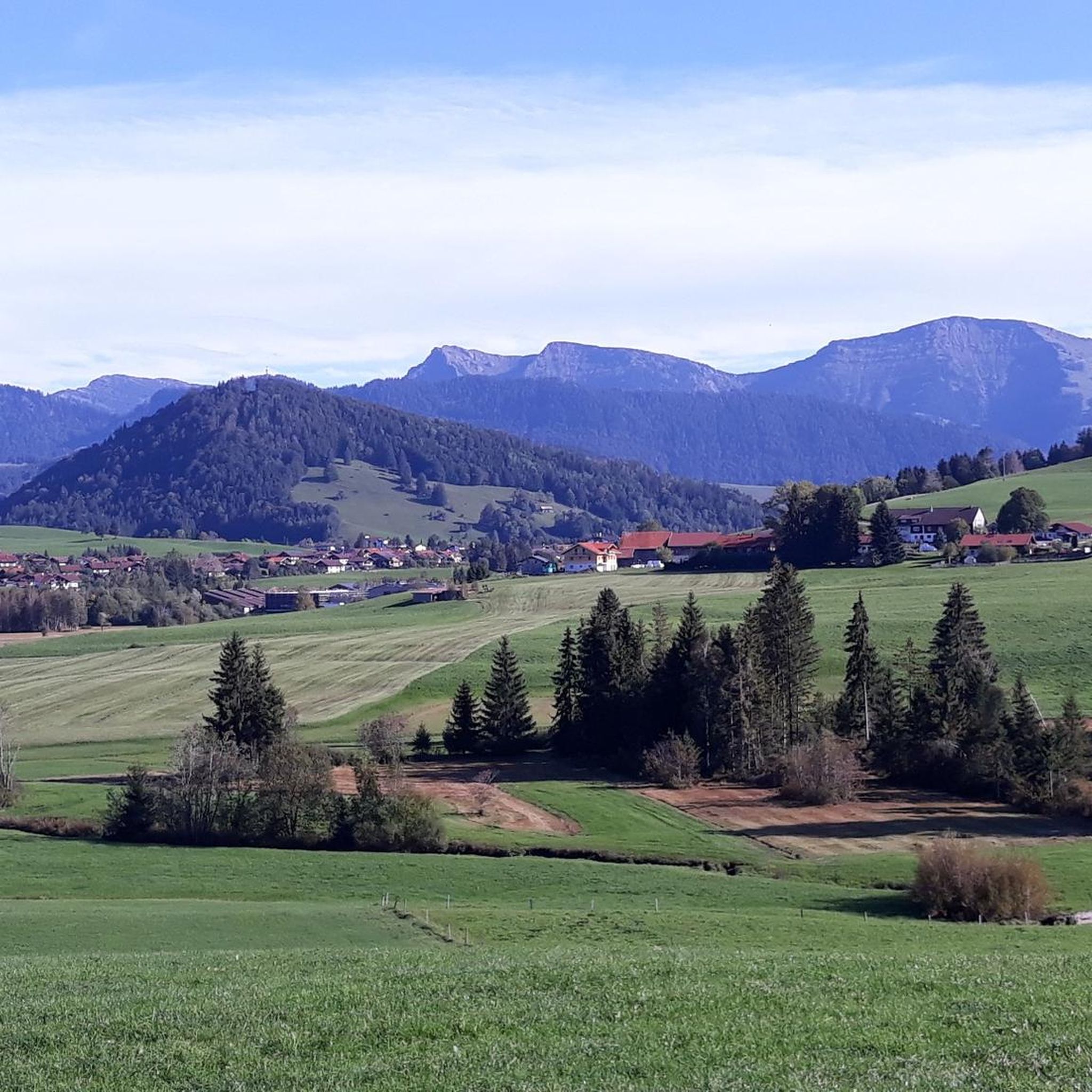
Hündlekopf는 1,111미터 높이로 Hündle 산의 능선 봉우리이며 Oberstaufen 주변에서 가장 인기 있는 전망 봉우리 중 하나입니다. 쉽게 하이킹할 수 있습니다. 가파른 오르막을 피하고 싶다면 곤돌라를 타세요. 정상 십자가에서는 Großer Alpsee와 Nagelfluhkette의 멋진 전망을 감상할 수 있습니다.
1
0

With a bit of luck you can find arnica directly on the Hochgrat, a rare sight.
6
1
The Hochgrat and the Seelekopf are two peaks in the Allgäu Alps. The Seelekopf is a neighboring mountain of the Hochgrat at 1663 meters. The Seelekopf can be reached via a ridge hike from the Hochgratbahn mountain station and offers a rewarding view, but requires surefootedness and is secured with rope-secured sections. The Hochgrat is the highest mountain in Oberstaufen and offers breathtaking views of the Allgäu Alps. The Seelekopf opposite is 1663 meters high and lies in the Allgäu Nagelfluh ridges. The combination makes a great hike.
5
0

Unfortunately very crowded during “cable car season”. It's best not to visit the impressive summit cross during its operating hours 😅
5
0

The slightly historic mountain railway 👍 takes you up to the Nagelfluh range. At the top there is a place to stop for refreshments and a fantastic view.
8
0

Summit path between the mountain station and the summit of the Hochgrat (1834 m) in the Upper Allgäu, the highest mountain peak in the Nagelfluhkette Nature Park and the Allgäu Alpine foothills. The path consists of a stone and gravel path, often with steps, which is steeper in places, so sure-footedness and a head for heights are a must. In one place in particular, extra caution is required, as the path is particularly narrow for around 7 meters. It is better to take it slower and use a wire rope at this point. In any case, you will be rewarded with a great view of the Alps (Bregenz Forest and Allgäu High Alps) and deep into the flatter Allgäu. In good weather, you can also see Lake Constance. :)
5
4

The 50-year-old railway has a great atmosphere. Once you reach the top, there are a number of hiking trails. Or you can walk up and take a leisurely ride down
7
0
Great view from the Swiss peaks to the Alpsee. And it's also quite easy to get to, so it's no problem even with children
6
0
슈티펜호펜 주변에서 가장 인기 있는 명소


더 살펴보기
이 가이드를 통해 슈티펜호펜 주변의 더 놀라운 정상들을 확인해보세요:
